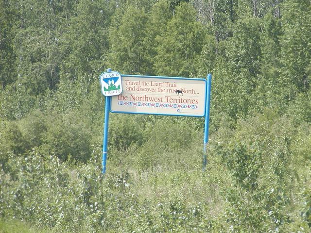
We are really close to the Northwest Territories here, only about 89 miles. [800x600][1600x1200]
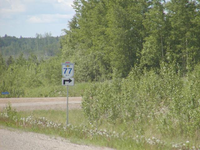
BC Route 77 takes you there. [800x600][1600x1200]
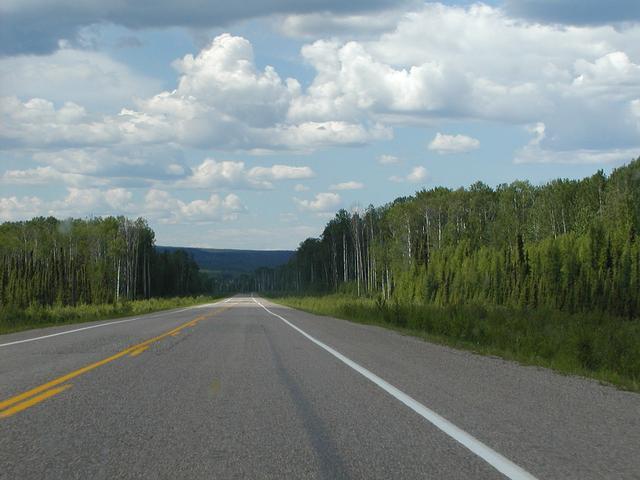
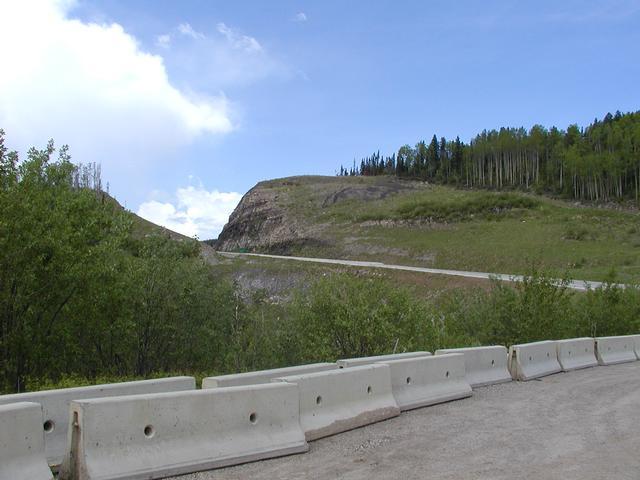
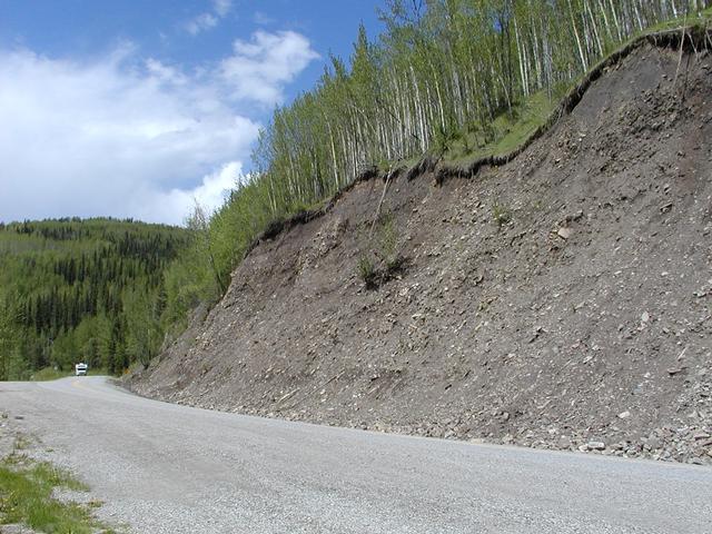
The highway around Mile 315 or so. [800x600][1600x1200]
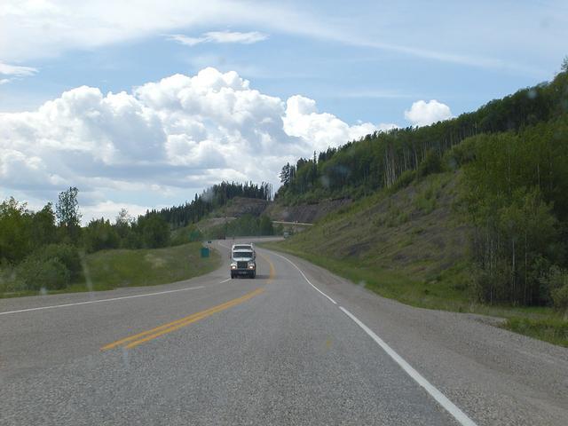
In the same area. Just after passing some construction. [800x600][1600x1200]
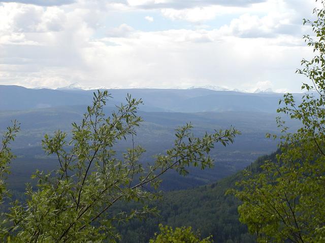
Turnout at Steamboat Mountain, Mile 334. [800x600][1600x1200]
Same. [800x600][1600x1200]
Same. [800x600][1600x1200]
Same. [800x600][1600x1200]
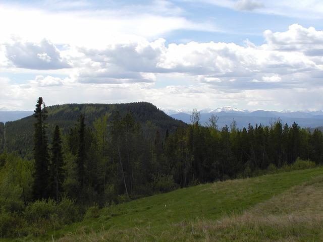
Same. [800x600][1600x1200]
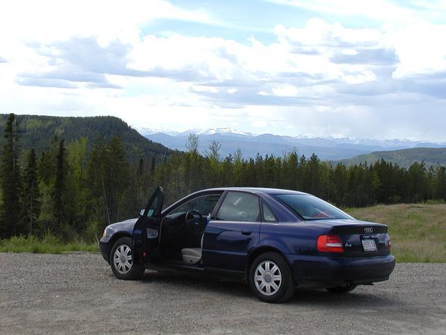
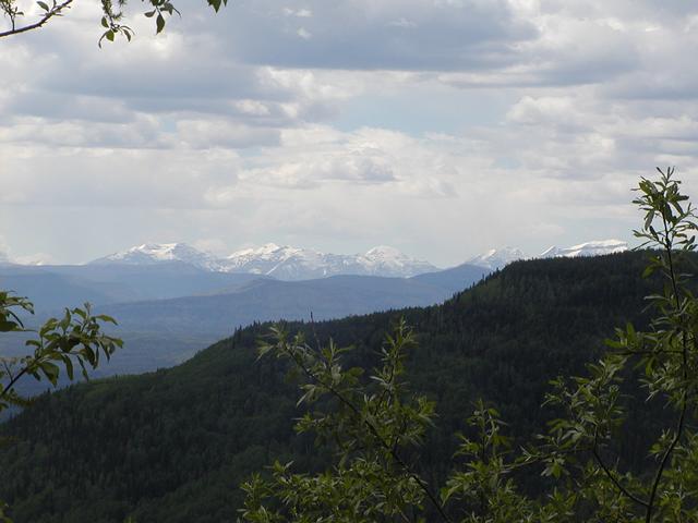
At Mile 336, with the Canadian Rockies visible in the distance. [800x600][1600x1200]
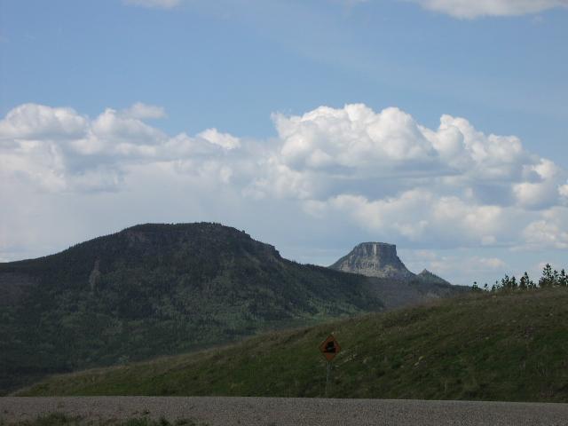
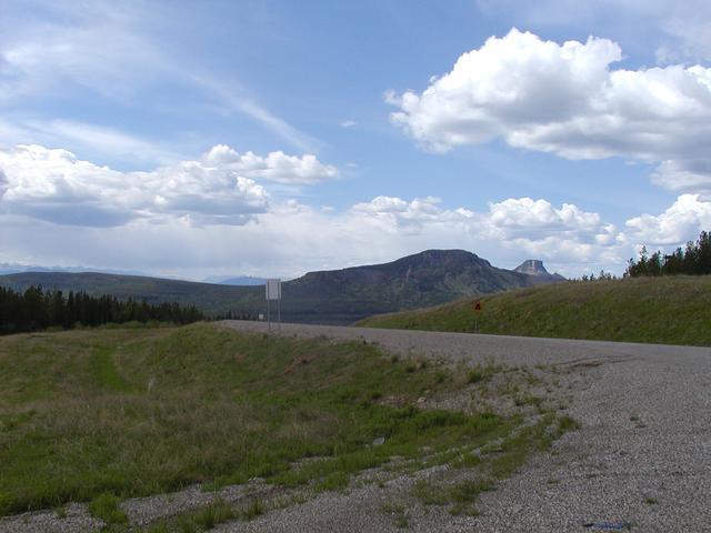
Rob's picture: A mesa somewhere in the Mile 340 area.
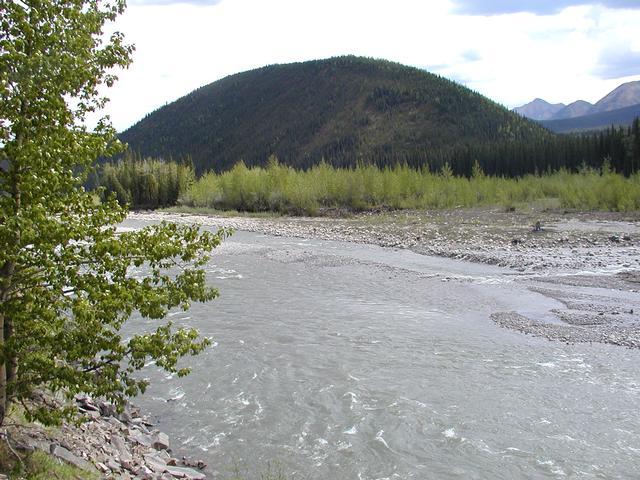
Turnout around Mile 364, the Tetsa River. [800x600][1600x1200]
Same. [800x600][1600x1200]
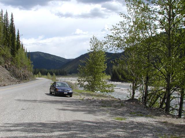
Same turnout. [800x600][1600x1200]
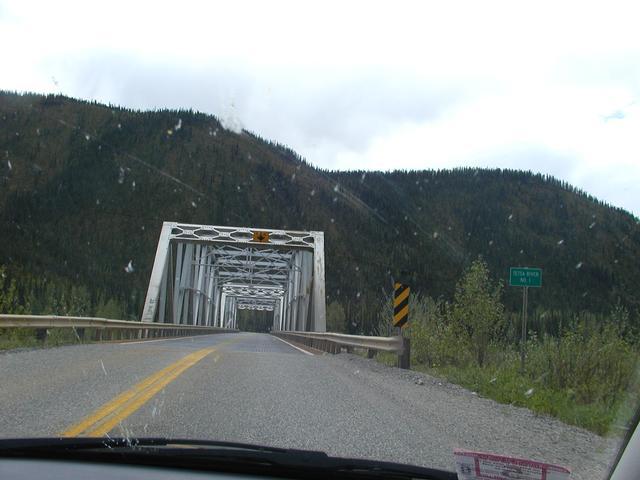
Tetsa River Bridge 1, Mile 365. [800x600][1600x1200]