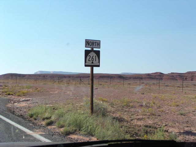
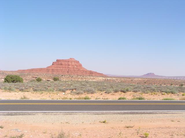
Yes, it's Utah 261. [2048x1536]
And it goes where I want to get to. [2048x1536]
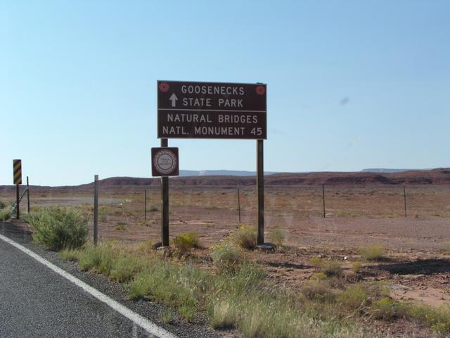
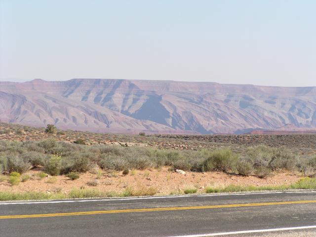
Sounds like fun. [2048x1536]
Seems OK for me. [2048x1536]
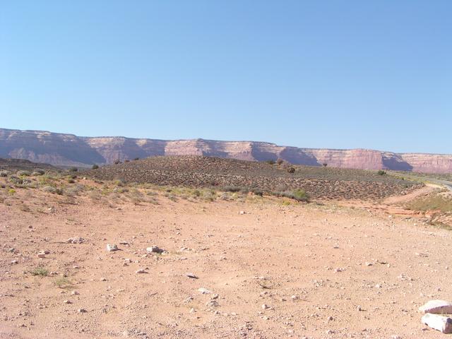
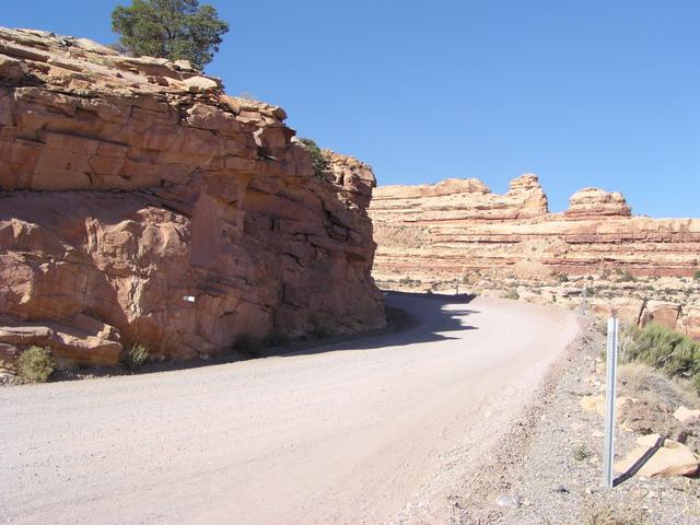
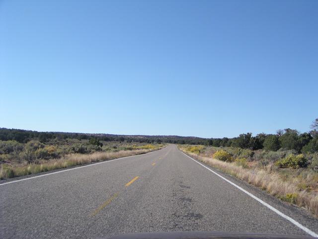
It starts out going across a flat area with more great scenery. [2048x1536]
[2048x1536]
[2048x1536]
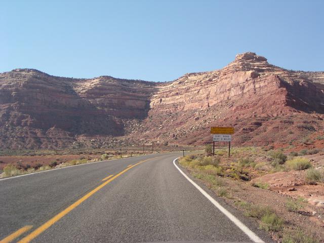
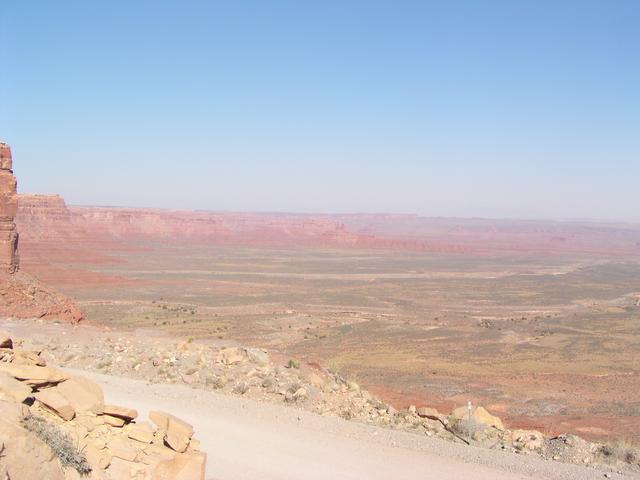
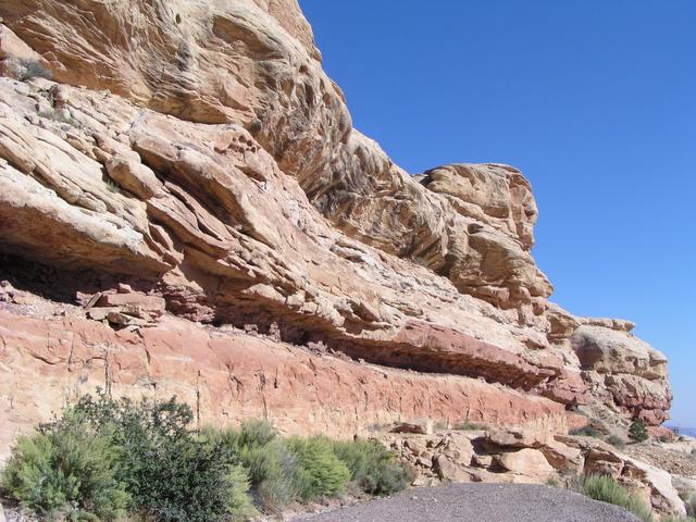
Amazingly enough, the road is heading straight for that cliff! [2048x1536]
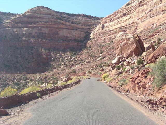
Yes, it's going up there, somehow. [2048x1536]
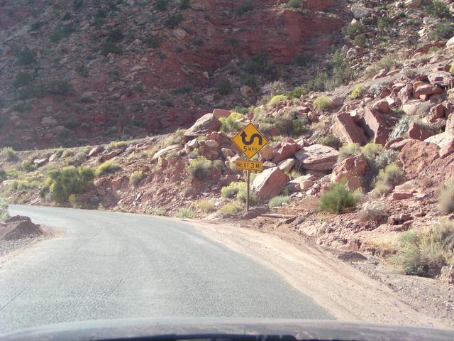
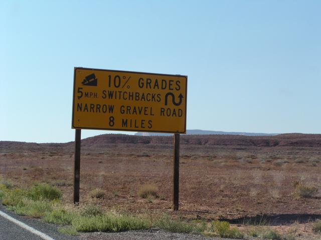
They're not kidding about some 5 MPH turns. I think there were only 2 that were really that sharp. [2048x1536]
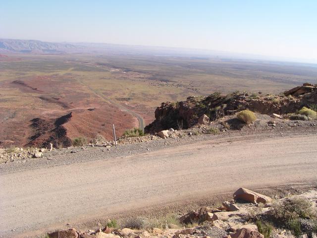
Part way up, we see the gravel road along the ledge and the road down in the valley floor. [2048x1536]
[2048x1536]
One of those sharp turns. [2048x1536]
[2048x1536]
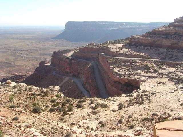
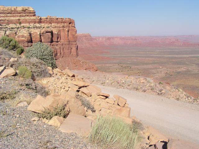
Most of the way up now, a good look at the road to this point. [2048x1536]
[2048x1536]
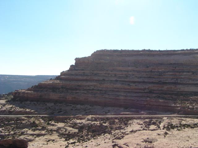
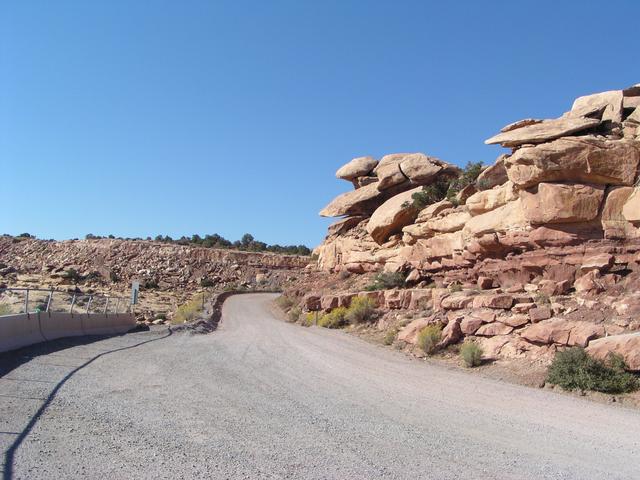
The road doesn't go over there. [2048x1536]
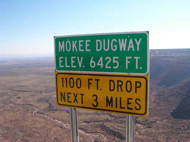
At the top, they tell us about the elevation. Apparently, it's called the Moki Dugway (despite this spelling). The 1100 ft. drop is for the southbound travelers. [2048x1536]
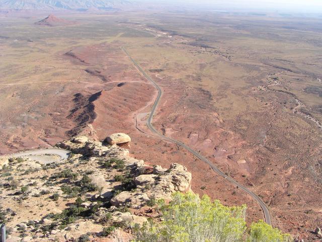
There's the road way down there. [2048x1536]
And now it goes around one more turn and it's the top. [2048x1536]
On top, it flattens out to more of what you might expect of a state highway. [2048x1536]
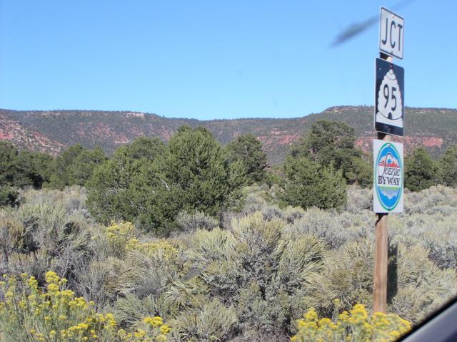
And eventually, it ends at Utah 95. [2048x1536]