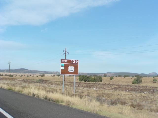
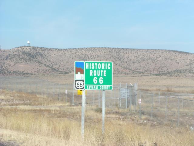
We got off at this exit. [2048x1536]
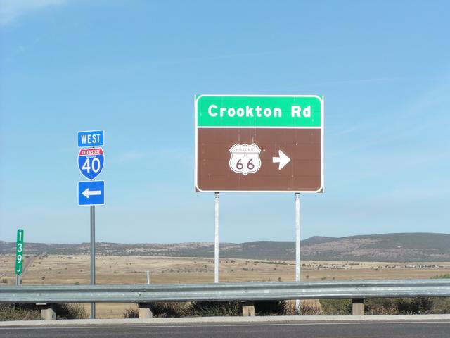
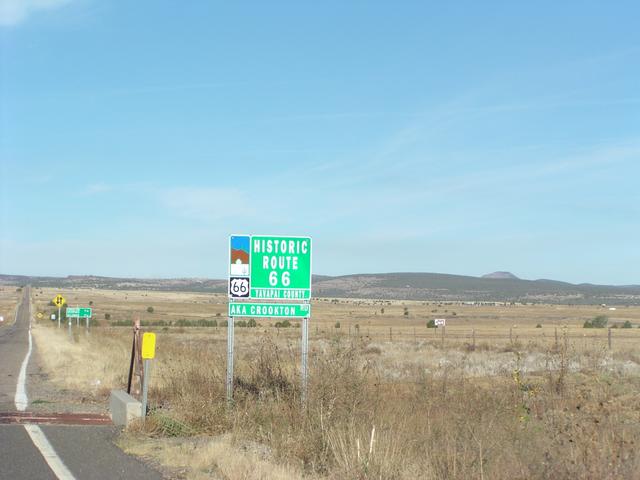
It's Crookton Road east of Seligman. [2048x1536]
[2048x1536]
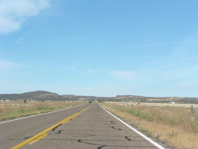
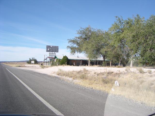
The old road... [2048x1536]
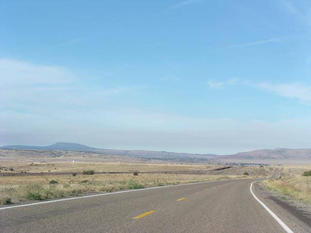
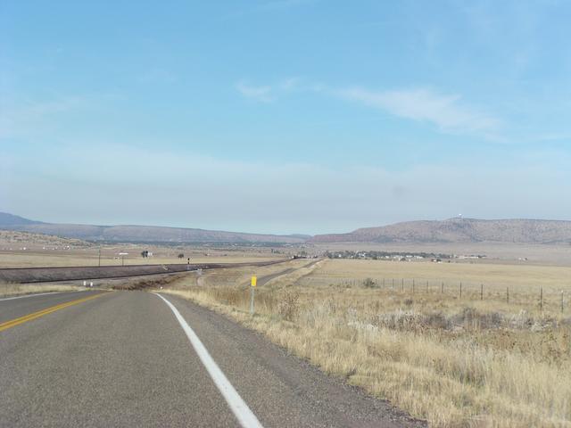
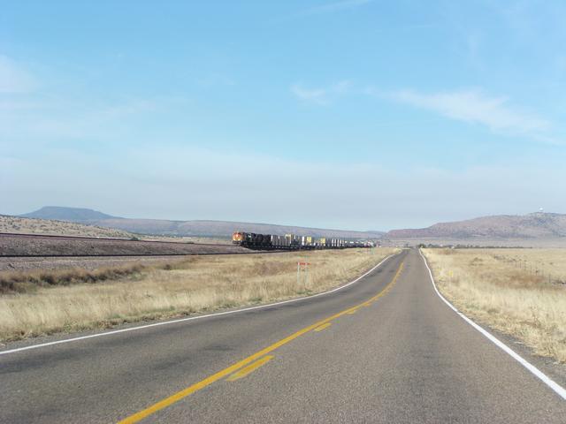
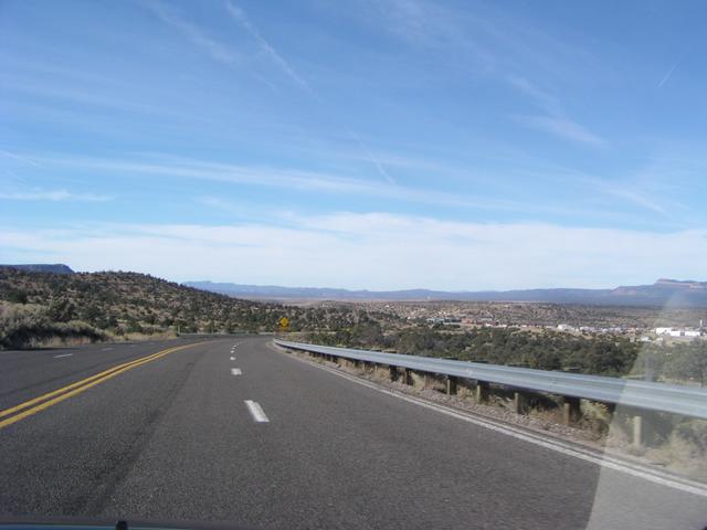
It parallels the railroad here. [2048x1536]
[2048x1536]
[2048x1536]
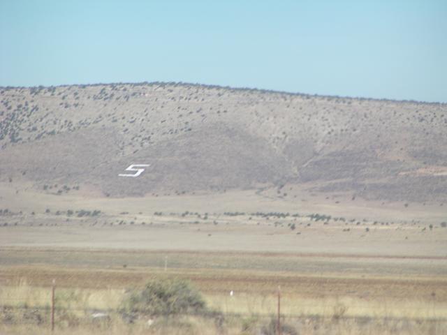
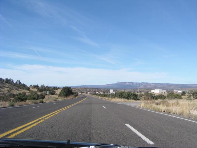
Approaching Seligman, marked by the big "S" on the hill. [2048x1536]
Some former US 66 stuff in Seligman. [2048x1536]
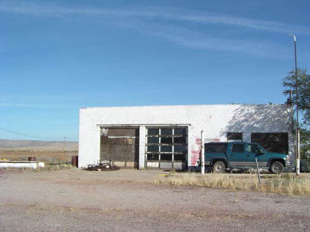
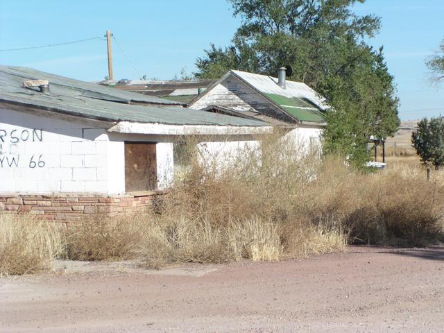
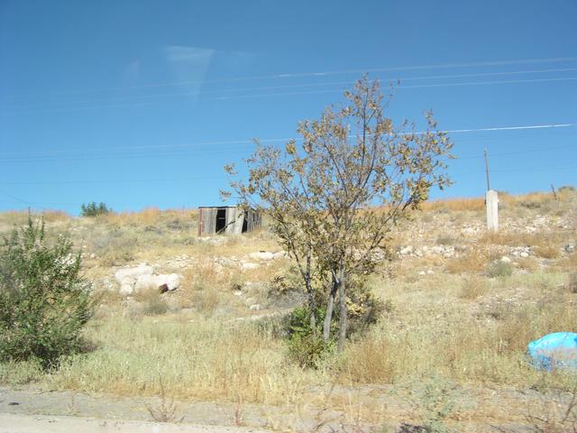
This place has seen better days, still in Seligman. [2048x1536]

This one is hanging on. [2048x1536]
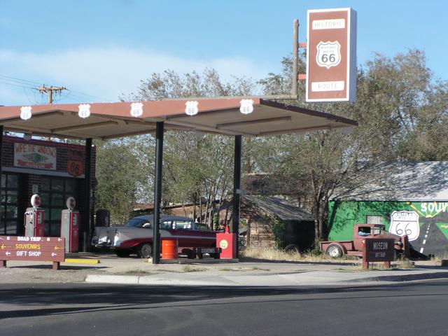
This place embraces its Historic US 66 heritage. [2048x1536]
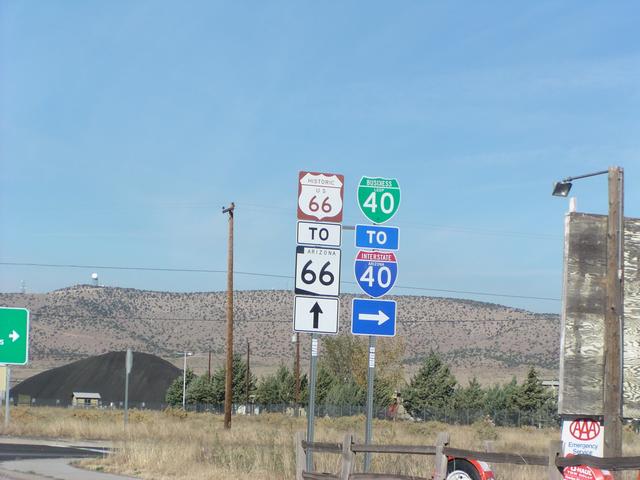
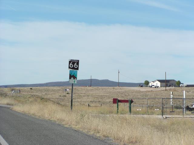
In Seligman, Historic 66 also becomes Arizona 66. [2048x1536]
Heading out of Seligman. [2048x1536]
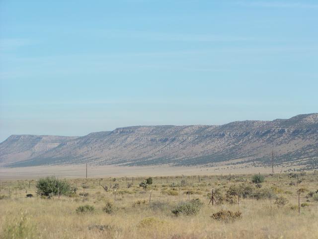
The road goes along just south and west of these, which Rand McNally marks as the Aubrey Cliffs. [2048x1536]
[2048x1536]
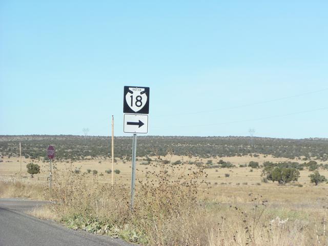
We go past Indian Route 18. [2048x1536]

[2048x1536]
This may be heading down the hill into Peach Springs. [2048x1536]
[2048x1536]
[2048x1536]

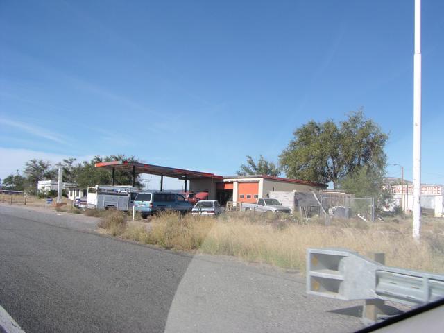
Peach Springs has its share of seemingly abandoned buildings. [2048x1536]

[2048x1536]
[2048x1536]
[2048x1536]
[2048x1536]

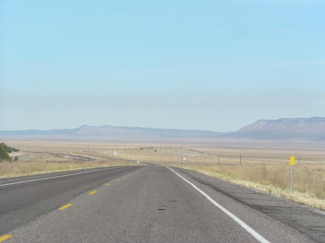
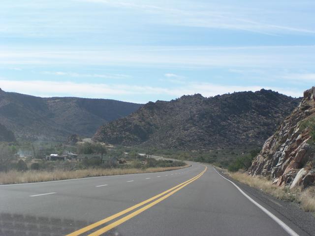
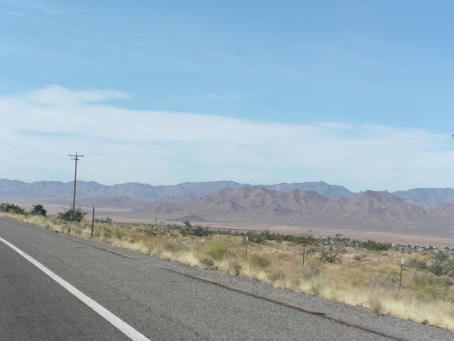
Like much of this part of the country, the terrain is always changing. [2048x1536]
[2048x1536]
[2048x1536]

[2048x1536]
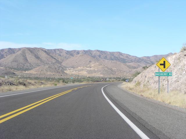
Approaching the town of Hackberry. [2048x1536]

Cactus along the road in the Hackberry area. [2048x1536]

[2048x1536]
[2048x1536]
[2048x1536]
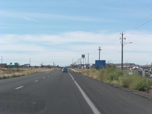
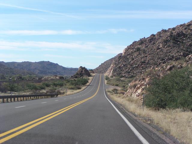
Almost to Kingman. [2048x1536]