August 21 - O'ahu
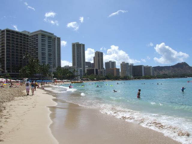
Waikiki. [3488x2616]
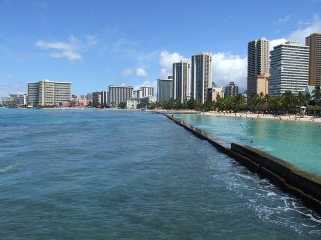
Waikiki. [3488x2616]
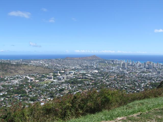
Diamond Head and Waikiki from Pu'u 'Ualaka'a State Park viewpoint. [3488x2616]
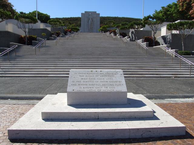
National Memorial Cemetery of the Pacific. [3488x2616]
August 22 - O'ahu
Crashing waves near Hanauma Bay. [3488x2616]

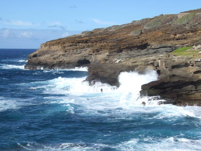
Halona Blowhole. [3488x2616]
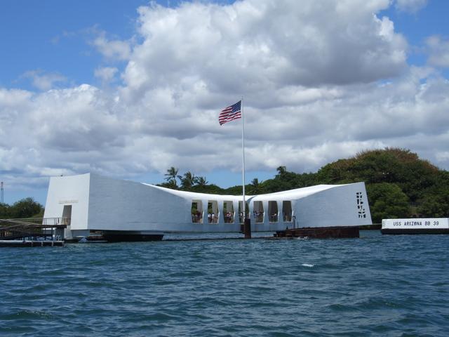
U.S.S. Arizona Memorial in Pearl Harbor. [3488x2616]
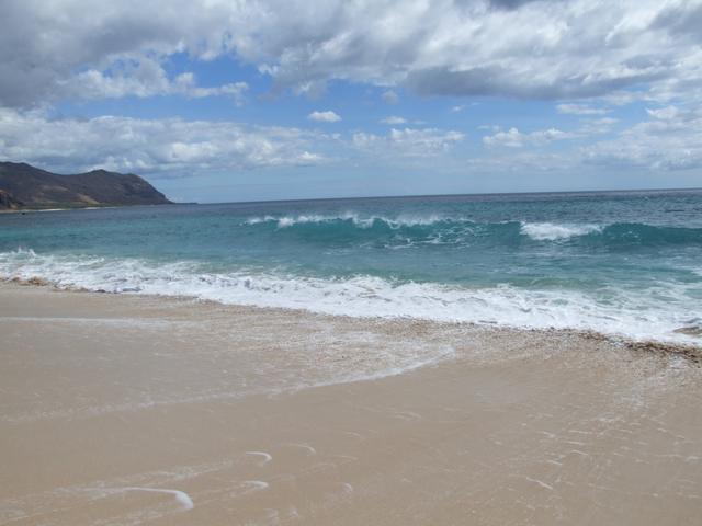
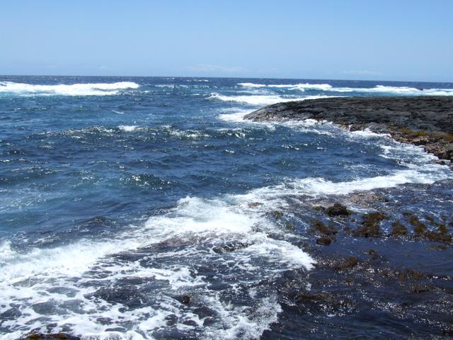
The surf at Ka'ena Point State Park at the end of Hawaii Route 93. [3488x2616]
August 23 - O'ahu
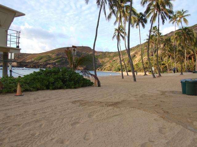
Early morning at Hanauma Bay. [3488x2616]
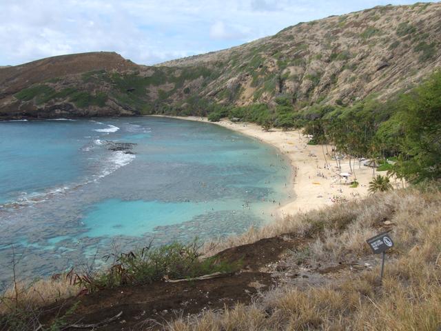
View down into Hanauma Bay. [3488x2616]
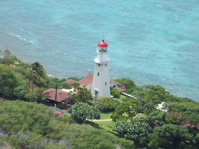
Diamond Head Lighthouse. [3488x2616]
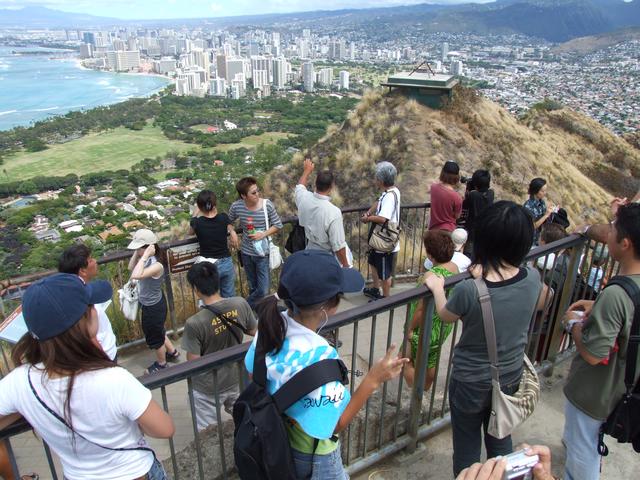
Diamond Head summit view toward Waikiki. [3488x2616]
August 24 - O'ahu
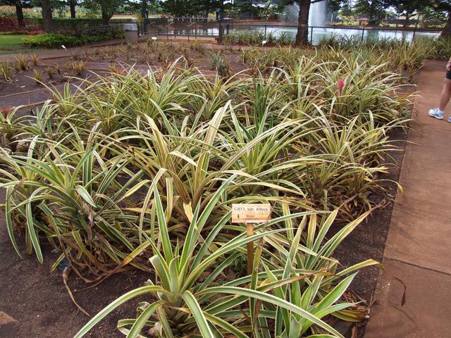
Pineapples growing at the Dole Plantation. [Closer]
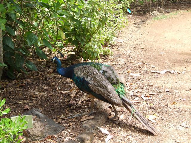
A peacock at the Waimea Audubon Center. [Closer]
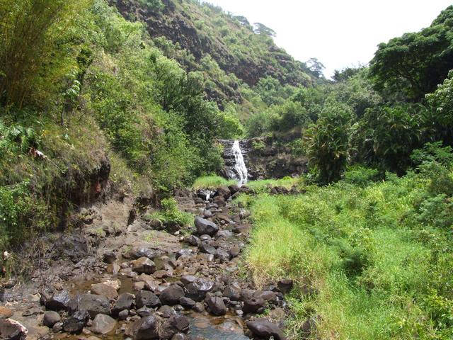
Waimea Falls. [3488x2616]
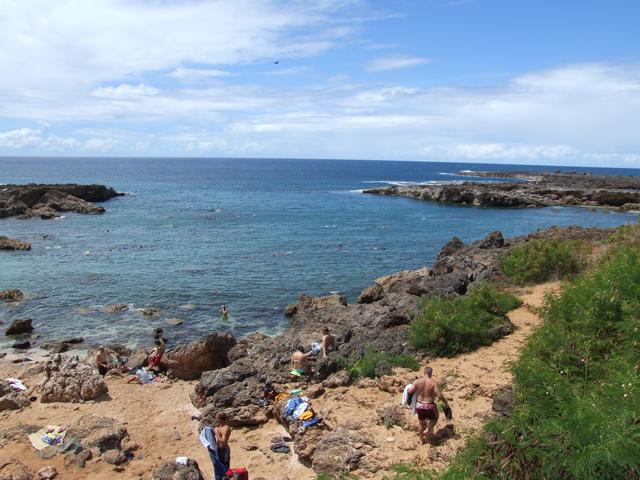
Shark's Cove. [3488x2616]
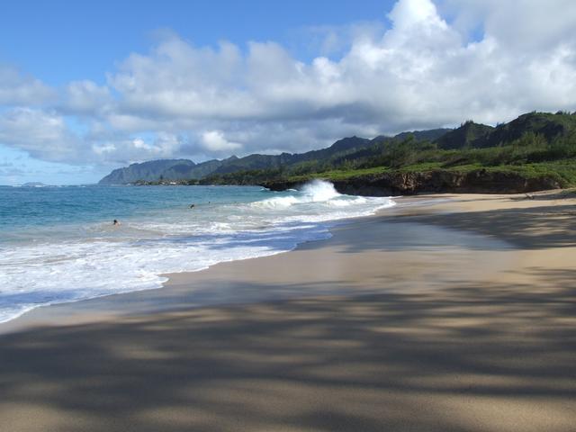
A great little beach on O'ahu's east coast, just south of La'ie. [3488x2616]
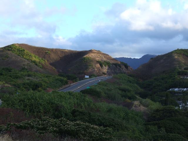
View of Interstate H3 from the Kailua area. [3488x2616]
August 25 - Maui
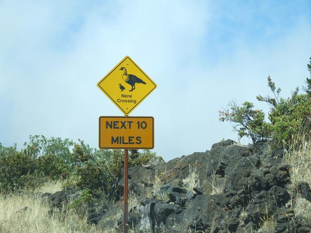
There are a lot of nene crossings in Haleakala National Park. [Closer]
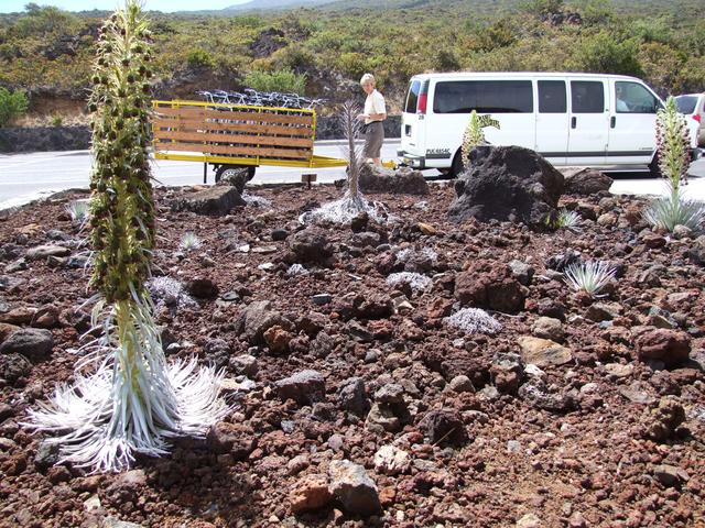
In front of the visitors center at Haleakala National Park. [3488x2616]
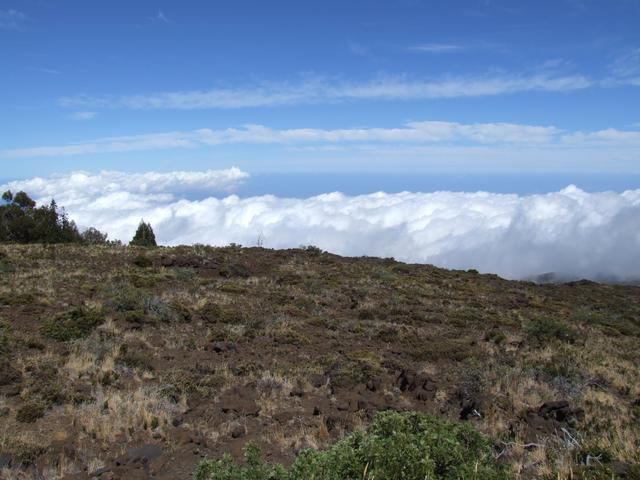
Driving above the clouds on the way up Haleakala at Haleakala National Park. [3488x2616]
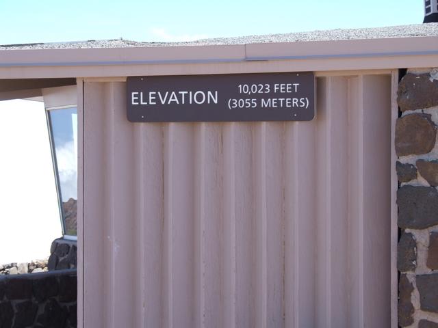
Over 10,000 feet at the summit of Haleakala at Haleakala National Park.
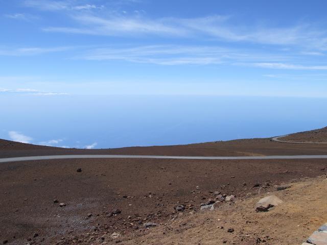
It's 10,000 feet down to the Pacific over there from the summit of Haleakala at Haleakala National Park. [3488x2616]
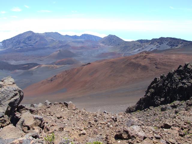
Cinder cones in the crater of Haleakala from the summit visitor center at Haleakala National Park. [3488x2616]
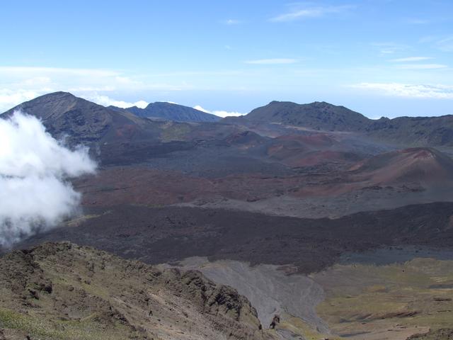
Crater of Haleakala from the Kalahaku Overlook at Haleakala National Park. [3488x2616]
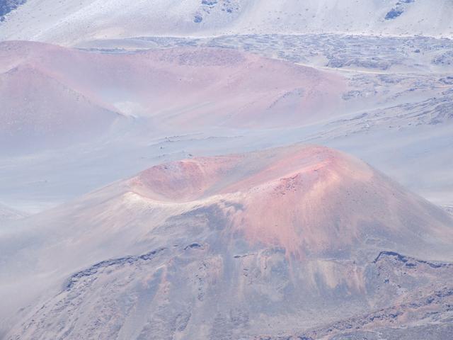
Cinder cones in the crater of Haleakala from the Kalahaku Overlook at Haleakala National Park. [3488x2616]
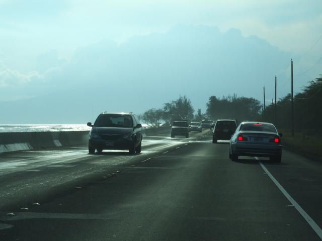
With the high surf, some water and sand are washed up on the road to Lahaina on the west side of Maui. [1744x1308]
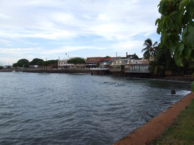
Lahaina. [3488x2616]
August 26 - Maui
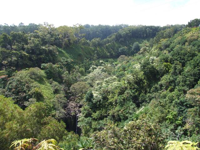
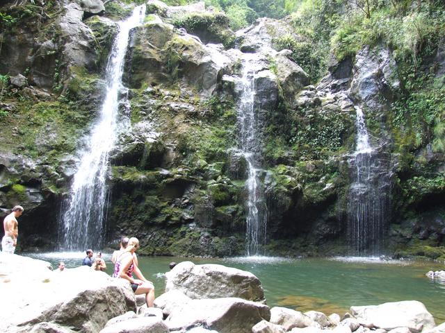
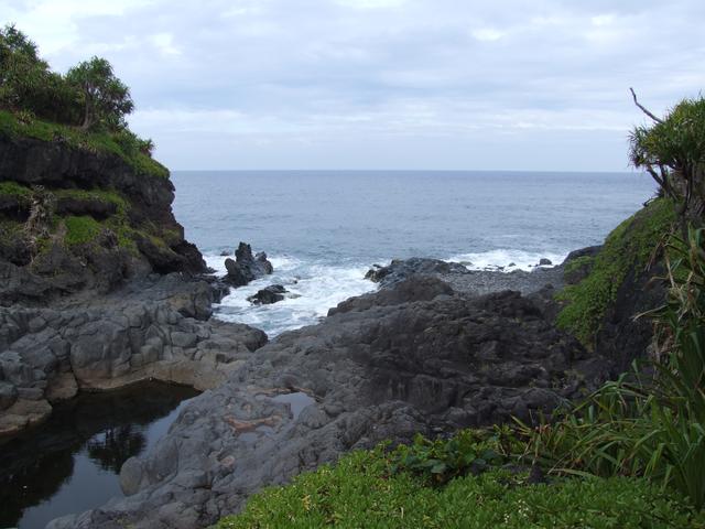
The view from a short trail off of an obscure turnout on the Hana Highway. [3488x2616]
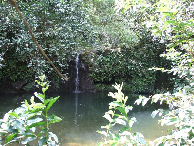
A small waterfall and pool along the Hana Highway. [3488x2616]
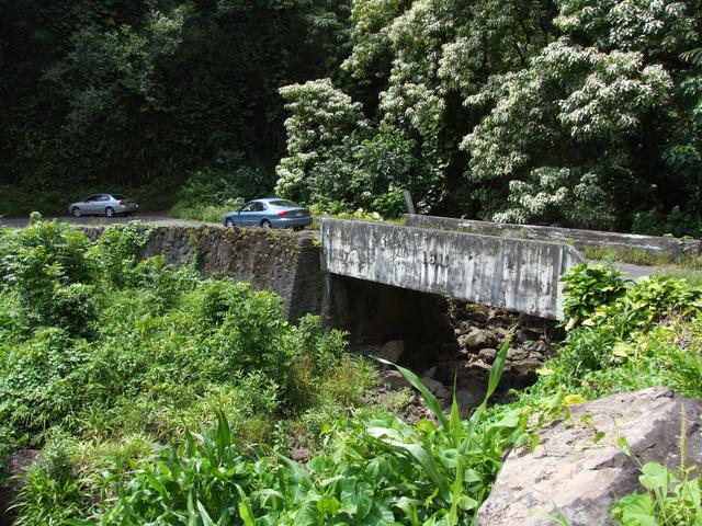
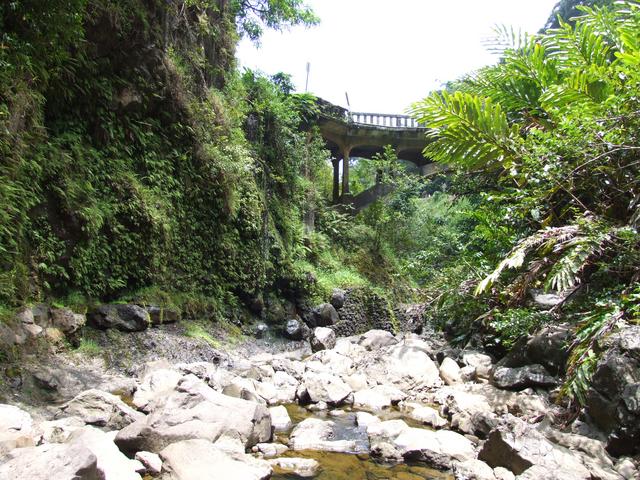
An old narrow bridge along the Hana Highway. [3488x2616]
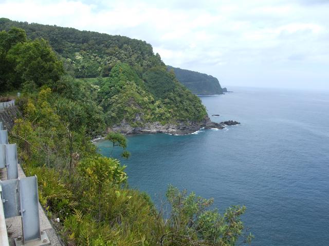
A great view to the west along the Hana Highway. [3488x2616]
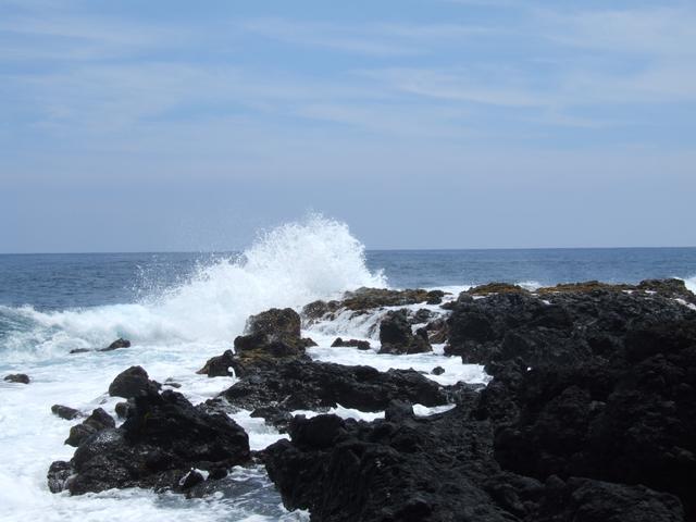
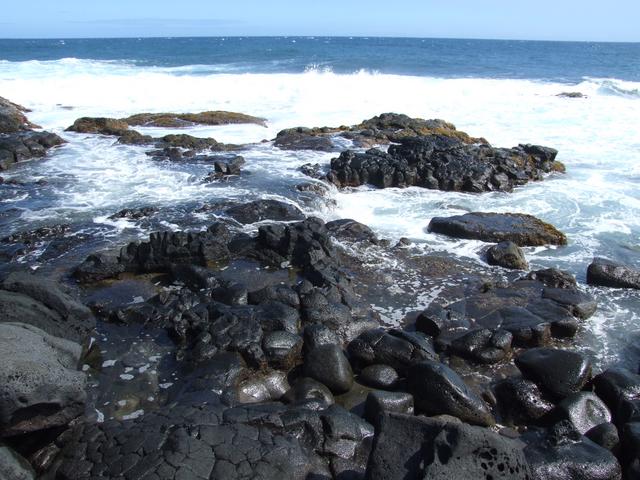
The Pacific crashing onto the lava rocks at the point at Wailua. [3488x2616]
Another waterfall and pool along the Hana Highway. [3488x2616]
View back to the Hana Highway from this waterfall and pool. [3488x2616]
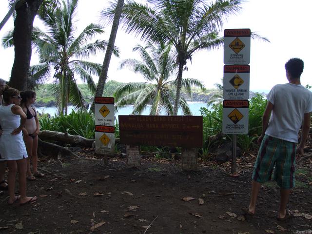
There are many ways to get hurt at Waianapanapa State Park. [Closer]
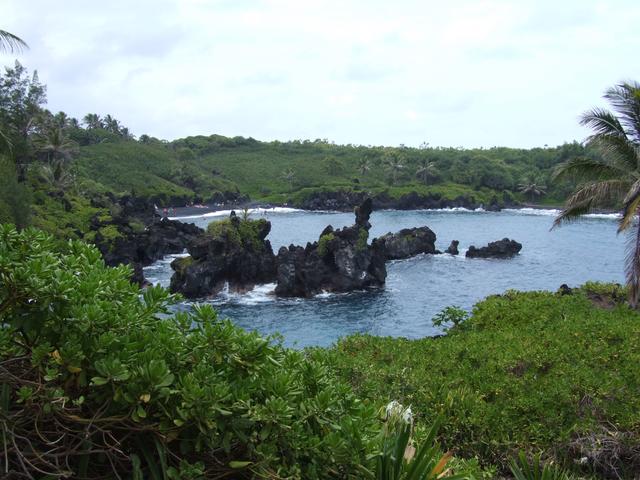
Black sand beach at Waianapanapa State Park. [3488x2616]
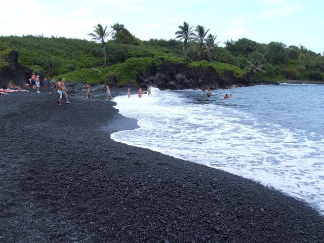
Black sand beach at Waianapanapa State Park. [3488x2616]
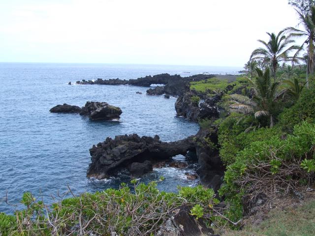
Arches and caves at Waianapanapa State Park. [3488x2616]
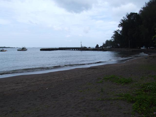
Hana Bay. [3488x2616]
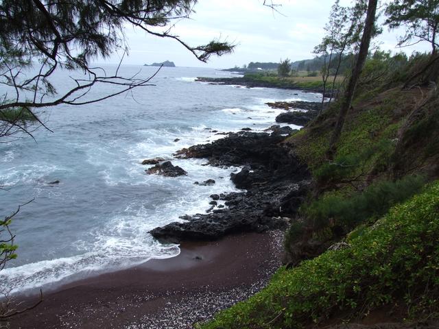
Red sand beach in Hana. [3488x2616]
View to the ocean from the Kipahulu area of Haleakala National Park. [3488x2616]
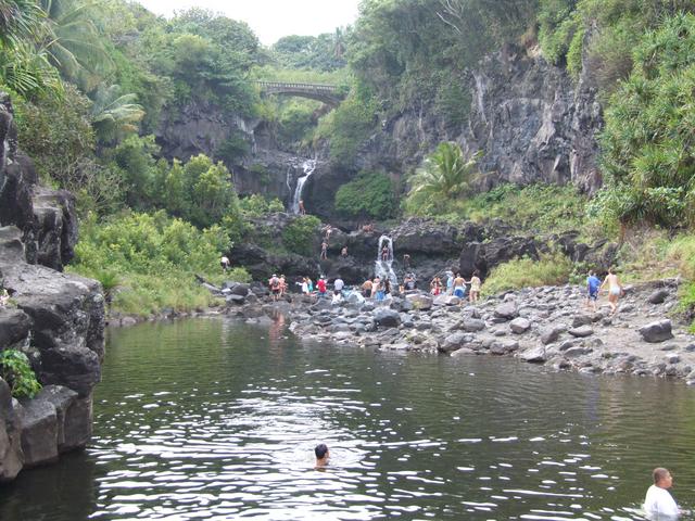
The waterfalls and pools at the Kipahulu area of Haleakala National Park. [3488x2616]
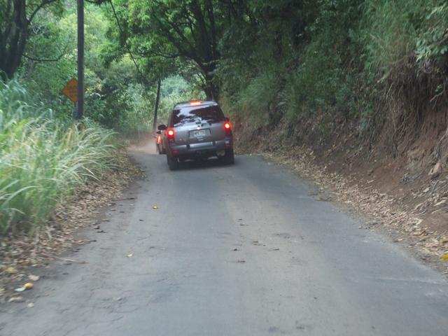
Narrow road along the Pi'ilani Highway. [1744x1308]
Great view along the Pi'ilani Highway. [3488x2616]
A sea arch from the Pi'ilani Highway. [3488x2616]
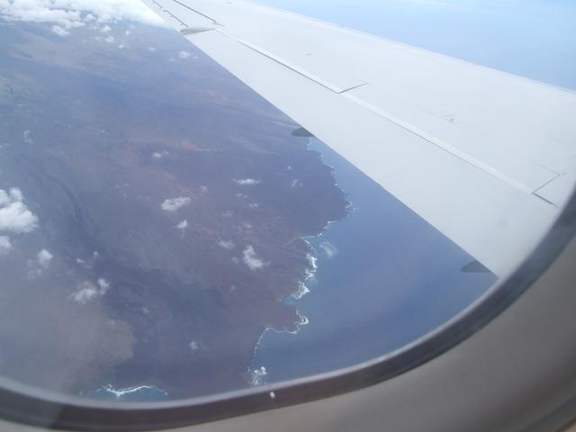
August 27 - Maui to Hawai'i (Big Island)
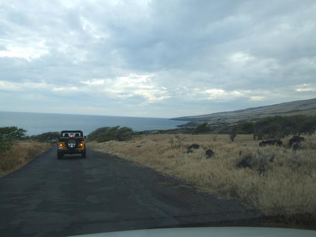
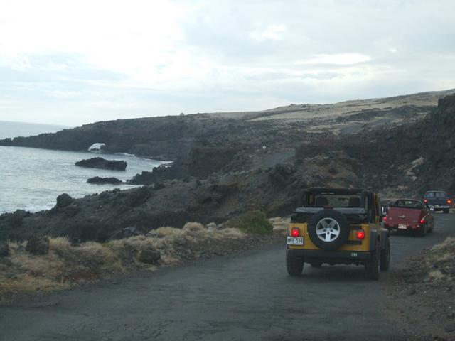
The southern coast of eastern Maui. The Pi'ilani highway is the line up the hill from the ocean. [Closer]
August 28 - Hawai'i
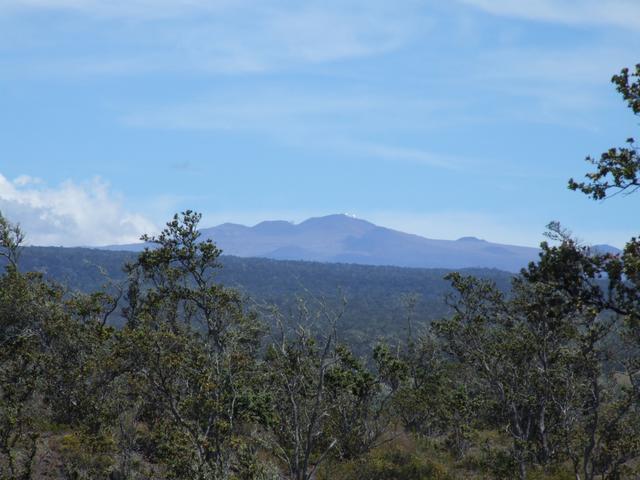
Mauna Kea from Hawaii Volcanoes National Park. [3488x2616]
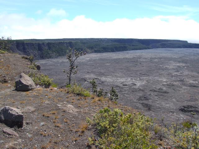
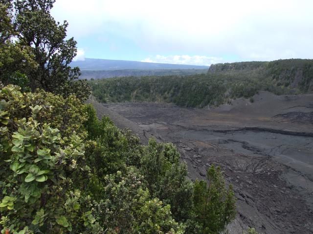
Kilauea Crater in Hawaii Volcanoes National Park. [3488x2616]
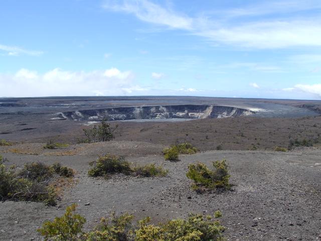
Halema'uma'u Crater inside the Kilauea Crater in Hawaii Volcanoes National Park. [3488x2616]
The southwest rift zone of Kilauea in Hawaii Volcanoes National Park. [3488x2616]
The southwest rift zone of Kilauea in Hawaii Volcanoes National Park. [3488x2616]
Volcanoes are dangerous. [1744x1308]
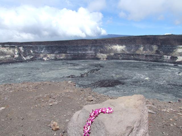
A closer look at the Halema'uma'u Crater inside the Kilauea Crater in Hawaii Volcanoes National Park. [3488x2616]
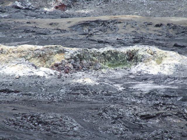
A solfatara (sulfur fumarole) inside the Kilauea Crater in Hawaii Volcanoes National Park. [Closer]
A closer look at part of a September 1982 lava flow inside the Kilauea Crater in Hawaii Volcanoes National Park. [3488x2616]
The Devastation Trail in Hawaii Volcanoes National Park. [1744x1308]
The Devastation Trail in Hawaii Volcanoes National Park. [1744x1308]
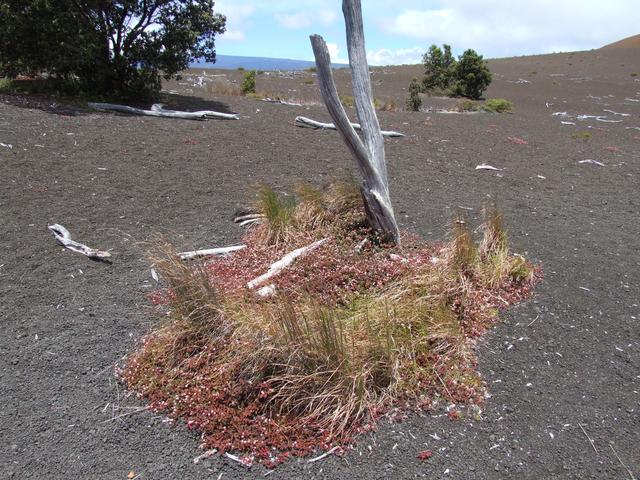
Ohelo trees at the start of the Devastation Trail in Hawaii Volcanoes National Park. [3488x2616]
Kilauea Iki Crater in Hawaii Volcanoes National Park. [3488x2616]
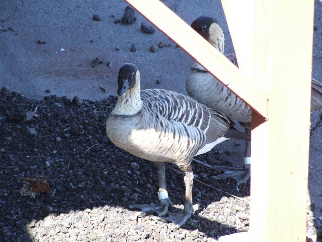
Nene at the Pauahi Crater in Hawaii Volcanoes National Park. [Closer]
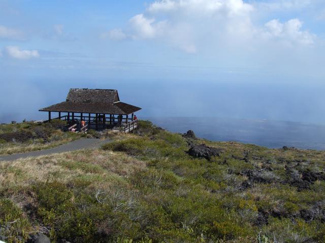
Kealakomo turnout along Chain of Craters Road in Hawaii Volcanoes National Park. [3488x2616]
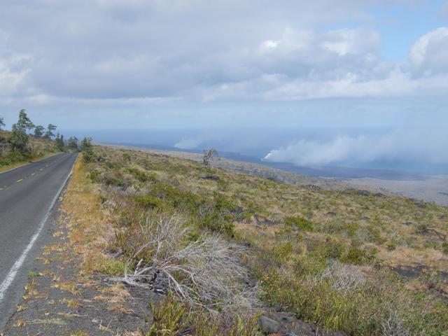
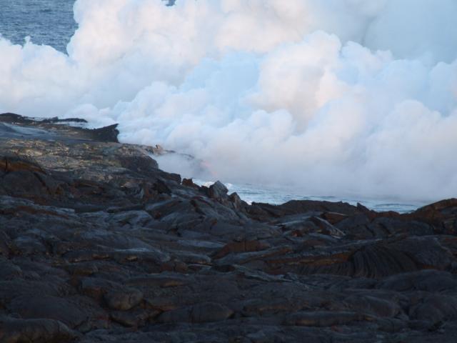
View of the current lava flow entering the ocean from part way down Chain of Craters Road in Hawaii Volcanoes National Park. [3488x2616]
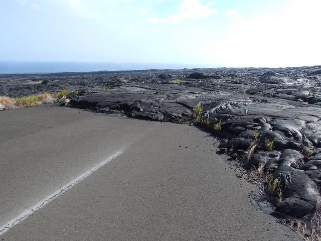
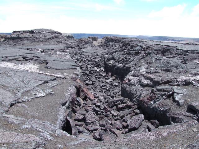
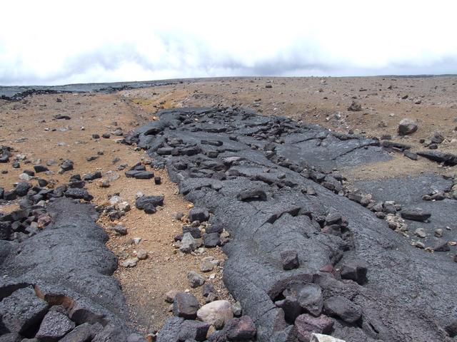
View of a lava flow that destroyed an old section of Chain of Craters Road in Hawaii Volcanoes National Park. [3488x2616]
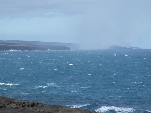
View of a lava flow entering the ocean in the distance from a turnout along Chain of Craters Road in Hawaii Volcanoes National Park. [3488x2616]
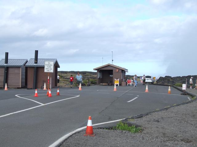
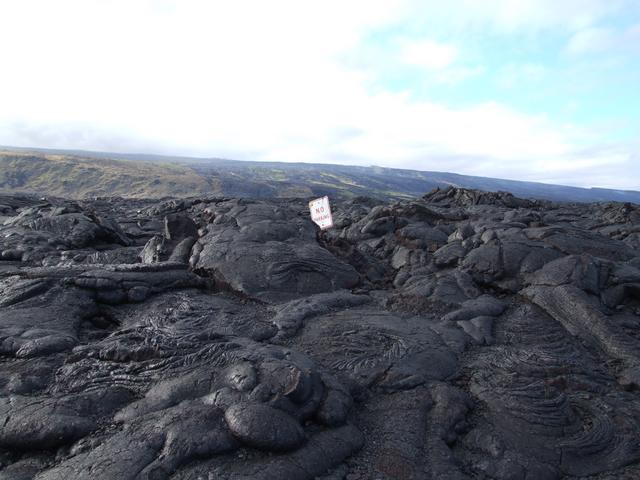
At the current end of Chain of Craters Road in Hawaii Volcanoes National Park. Just beyond here, the recent lava flows covered much of the road. [Closer]
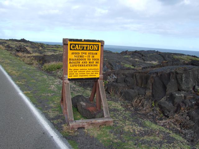
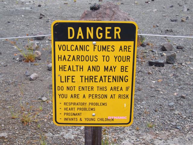
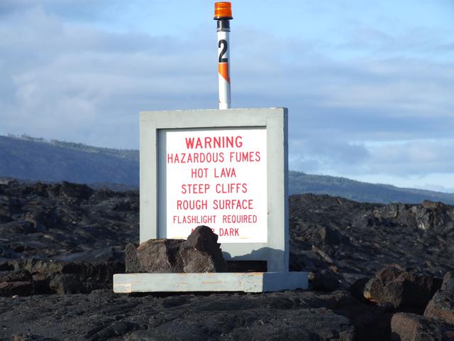
Just beyond the current end of Chain of Craters Road in Hawaii Volcanoes National Park, we are reminded that this hike is life-threatening. [Closer]
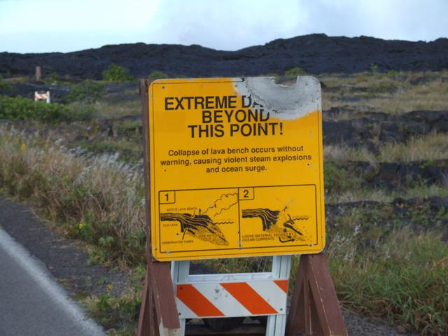
And another way to get hurt or killed. [Closer]
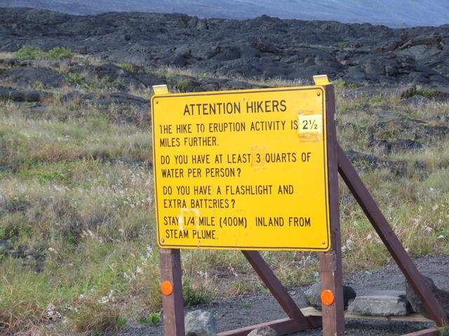
Be prepared. [3488x2616]
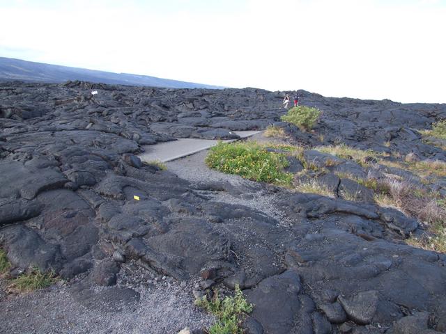
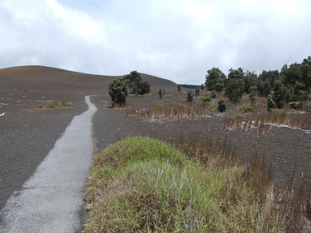
The early part of the hike where there is still road coming through in places. [3488x2616]
Here, the road isn't visible, but some evidence of the former road is. [3488x2616]
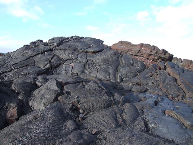
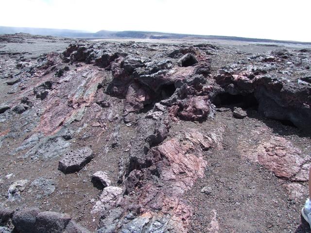
Lava formation along our hike. [3488x2616]
One of the beacons along the less marked part of the trail to see the red lava. [1744x1308]
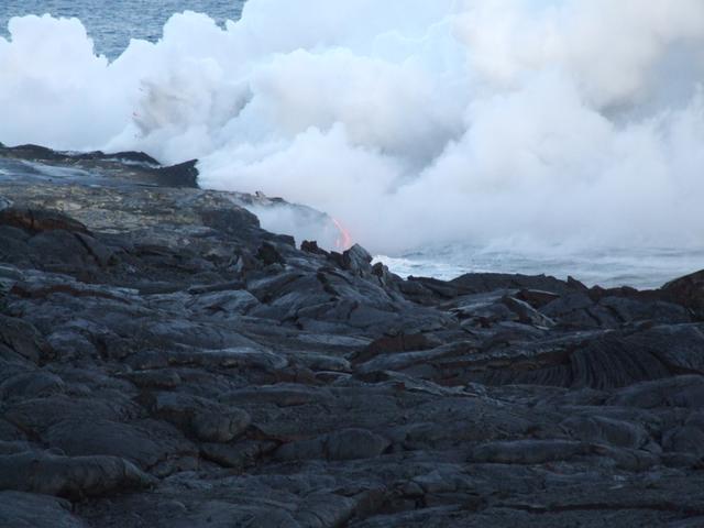
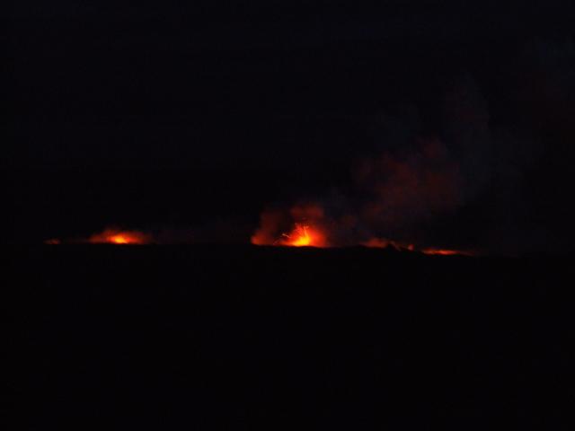
Our first look at lava entering the ocean. [3488x2616]
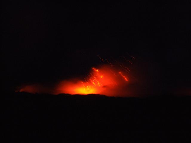
The lava gets easier to see as the sun goes down. [3488x2616]
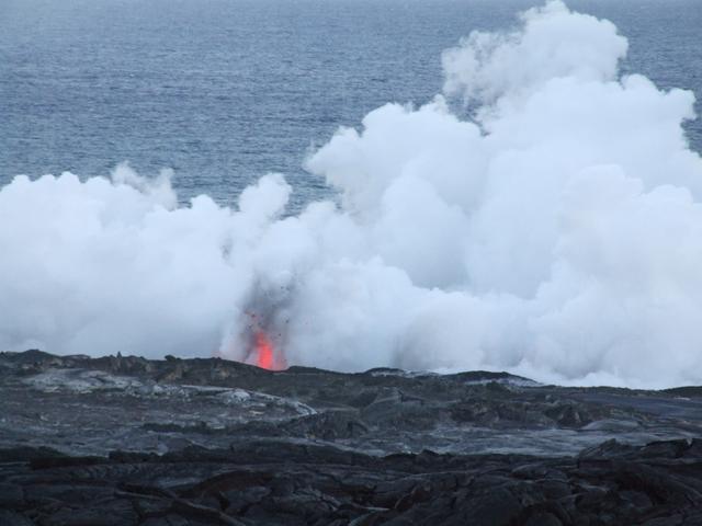
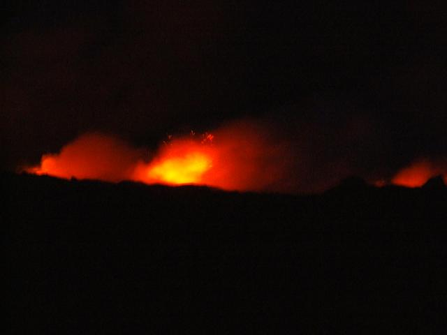
Further along, we found a spot where we could see the lava exploding as it dumped into the ocean. [3488x2616]
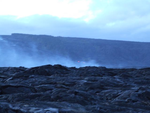
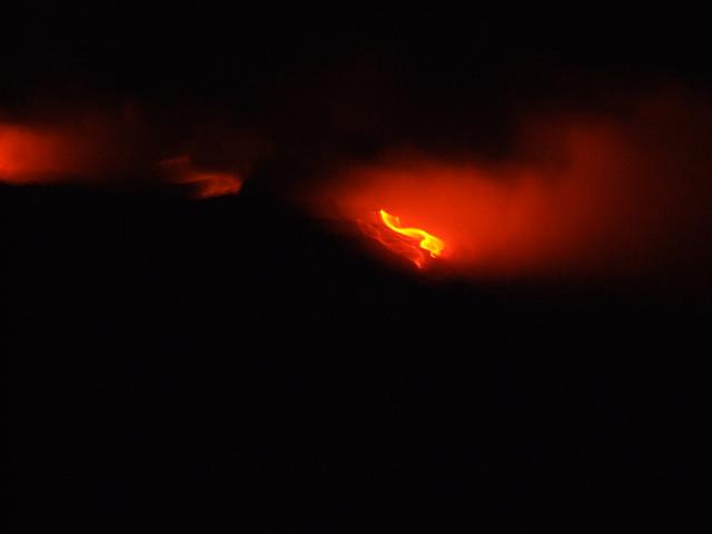
Red lava coming down the hill seen as we get to the point where the ground is steaming a lot. [1744x1308]
After dark, the views are spectacular but the pictures are nearly impossible. [Closer]
Another attempt. [Closer]
[Closer]
Back at the spot where we first saw the red lava. [1744x1308]
August 29 - Hawai'i
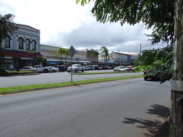
Hilo waterfront. [1744x1308]
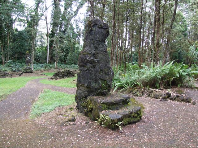
A lava tree in Lava Tree State Park - left behind by the 1790 lava flow when it encountered a very wet tree that wouldn't burn. [Closer]
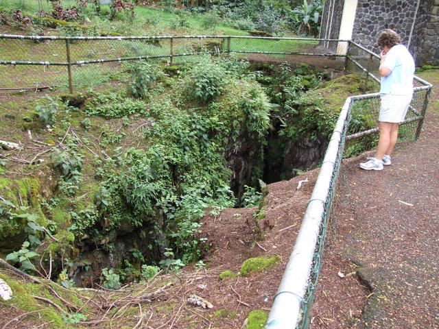
There's also a large crack in the ground at Lava Tree State Park. [3488x2616]
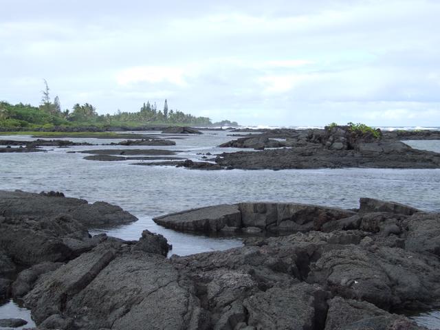
Kapoho Tide Pools. [3488x2616]
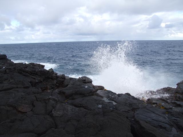
A big wave crashing on Hawaii's eastern shore. [3488x2616]
August 30 - Hawai'i
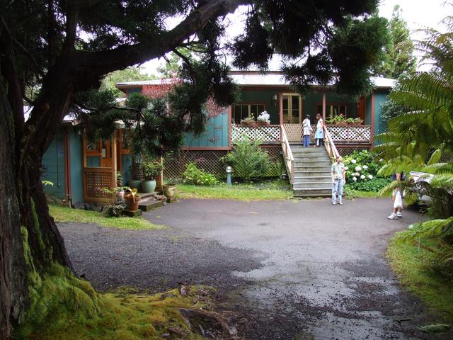
The Volcano Country Cottages, where we stayed in Volcano Village. [3488x2616]
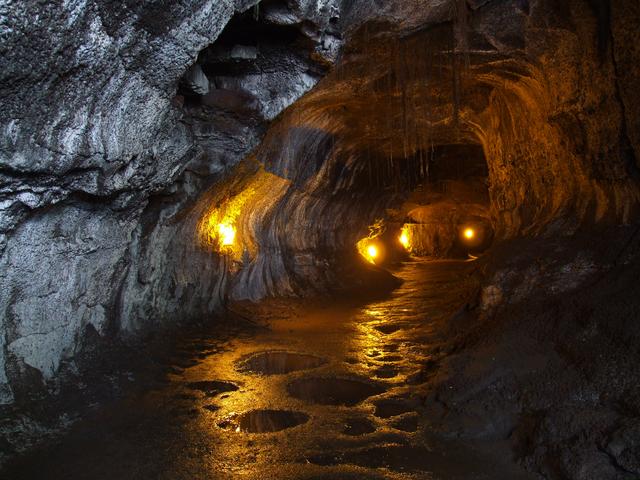
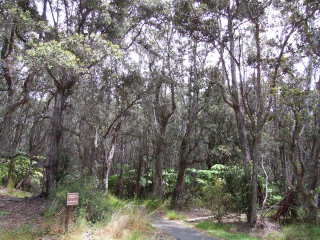
The Thurston Lava Tube in Hawaii Volcanoes National Park. [3488x2616]
Punalu'u Black Sand Beach Park. [3488x2616]
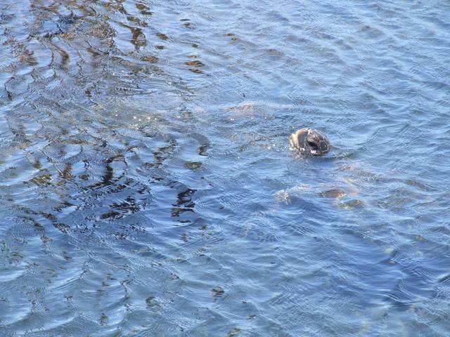
Sea turtle at Punalu'u Black Sand Beach Park. [Closer]
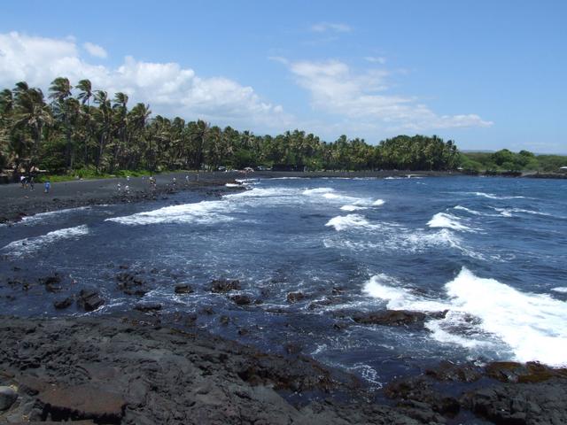
Punalu'u Black Sand Beach Park. [3488x2616]
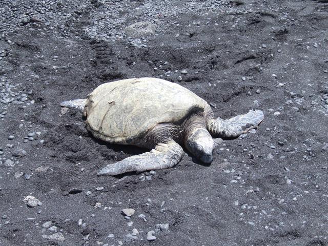
A turtle resting on the beach at Punalu'u Black Sand Beach Park. [Closer]
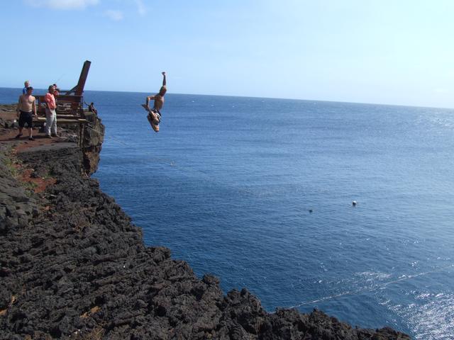
A swimmer jumping off a cliff into the ocean near South Point. [Closer]
South Point -- the southernmost part of the U.S. [3488x2616]
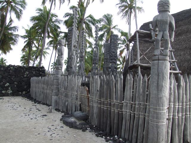
Pu'uhonua i Honaunau National Historical Park. [Closer]
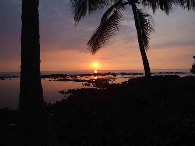
Sunset on the Kona Coast, from our hotel - the Outrigger Keauhou Beach Resort. [3488x2616]
August 31 - Hawai'i
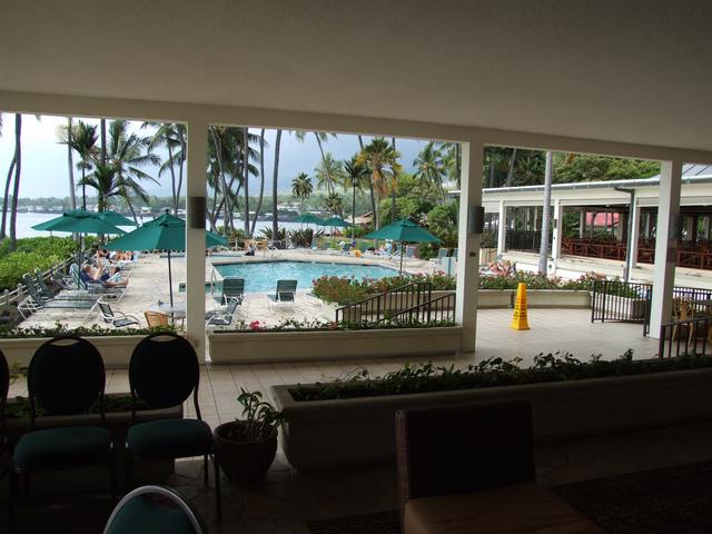
The lobby and pool area at the Outrigger Keauhou Beach Resort. [Closer]
September 1 - Hawai'i
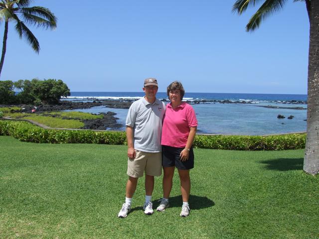
At the Outrigger Keauhou Beach Resort, near Kailua-Kona. [3488x2616]