Near the airport, heading to I-5 to start the trip. [Larger: 1744x1308]
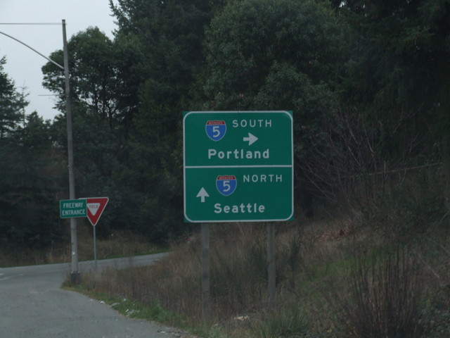
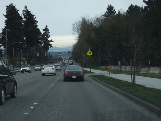
And onto I-5. [Crop/Zoom: 913x917]
[Crop/Zoom: 460x966]
[Crop/Zoom: 1120x772]
[Crop/Zoom: 1578x969]
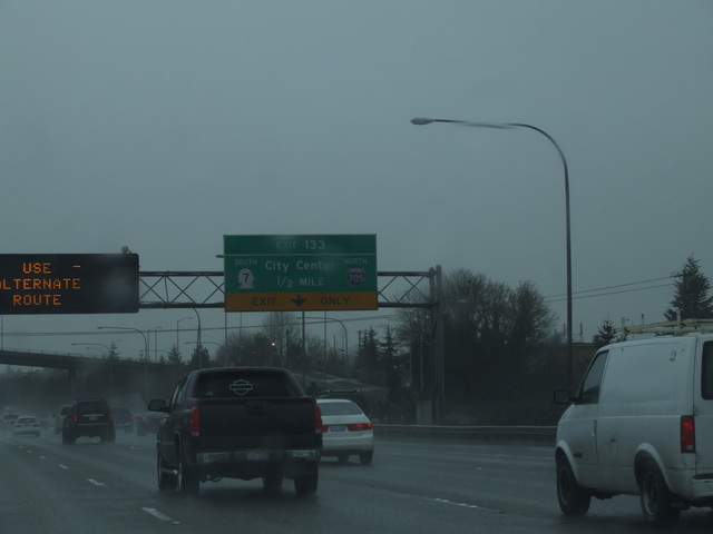
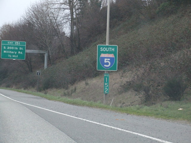
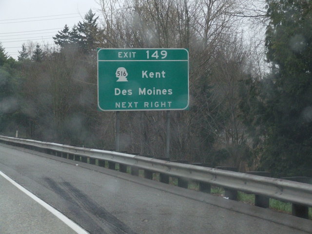
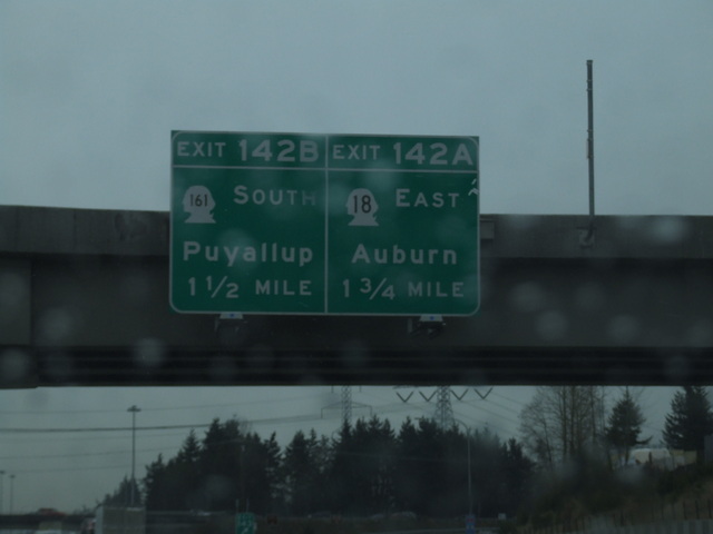
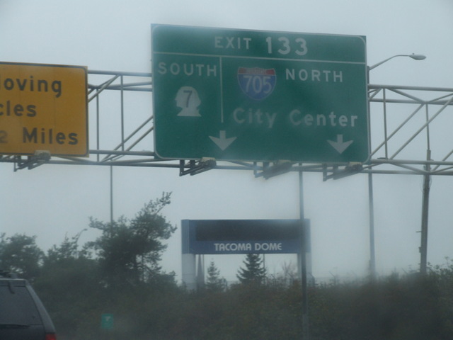
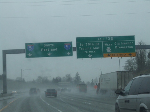
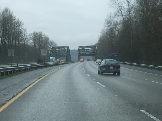
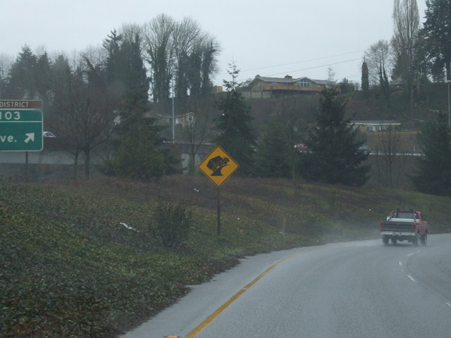
Into Tacoma on I-5. [Crop/Zoom: 802x437]
[Crop/Zoom: 2642x565]
[Larger: 1744x1308]
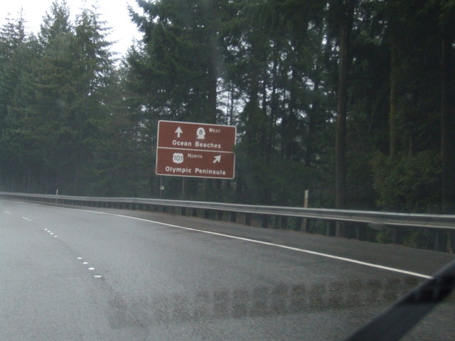
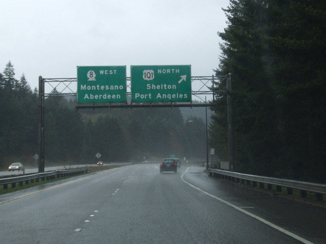
Coming up on 101. [Crop/Zoom: 894x434]
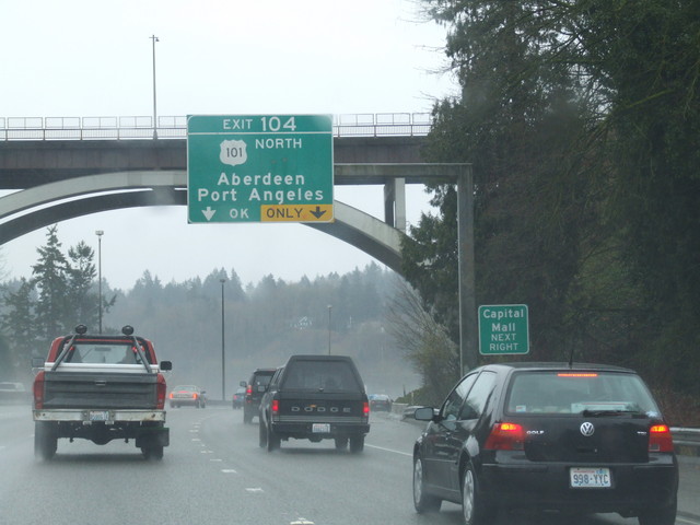
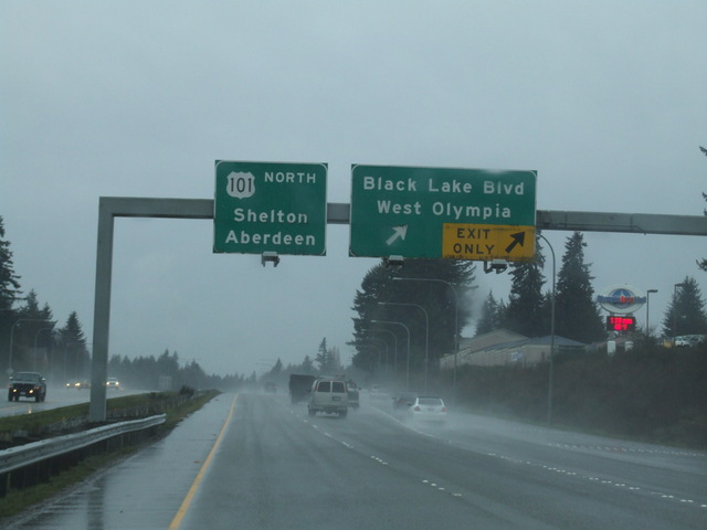
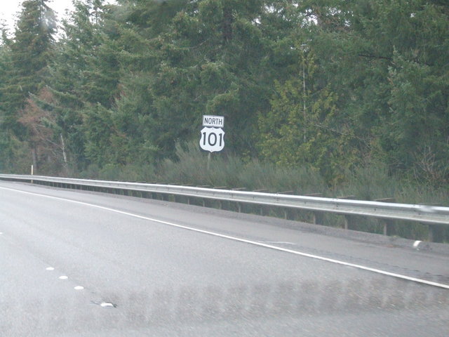
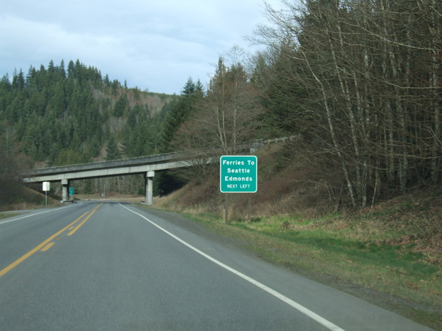
It's the "northern" terminus of US 101 in Olympia. [Crop/Zoom: 799x625]
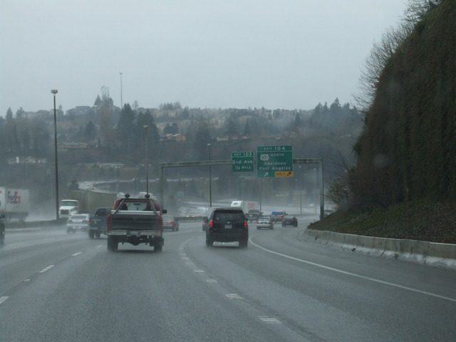
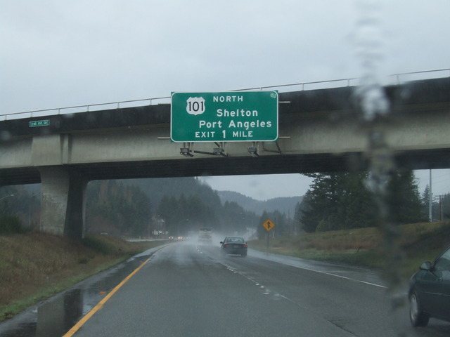
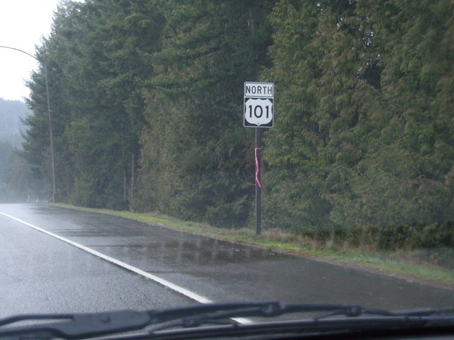
So I will take US 101 North. [Larger: 1744x1308]
[Crop/Zoom: 351x359]
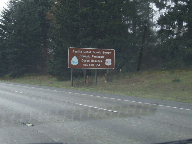
It's the Pacific Coast Scenic Byway. [Crop/Zoom: 349x391]
[Crop/Zoom: 1634x558]
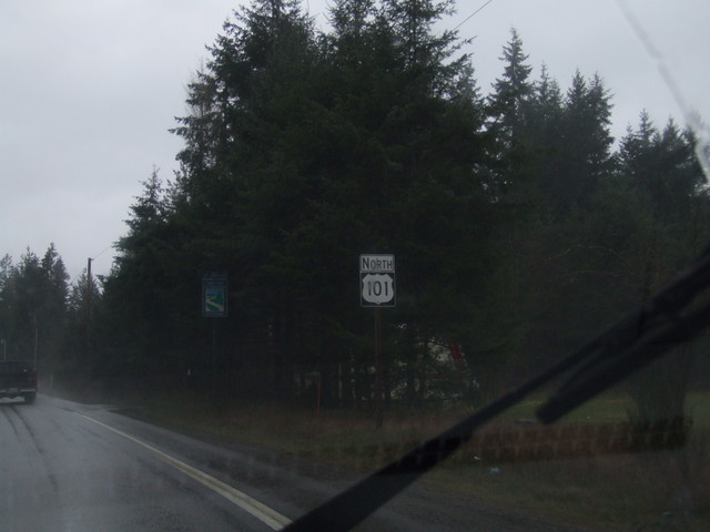
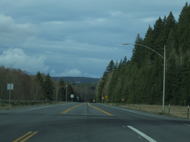
US 101 cuts due north along the peninsula. [Crop/Zoom: 901x427]
[Crop/Zoom: 671x493]
[Crop/Zoom: 1298x460]
[Crop/Zoom: 292x418]
[Larger: 1744x1308]
[Crop/Zoom: 282x345]
[Crop/Zoom: 292x316]
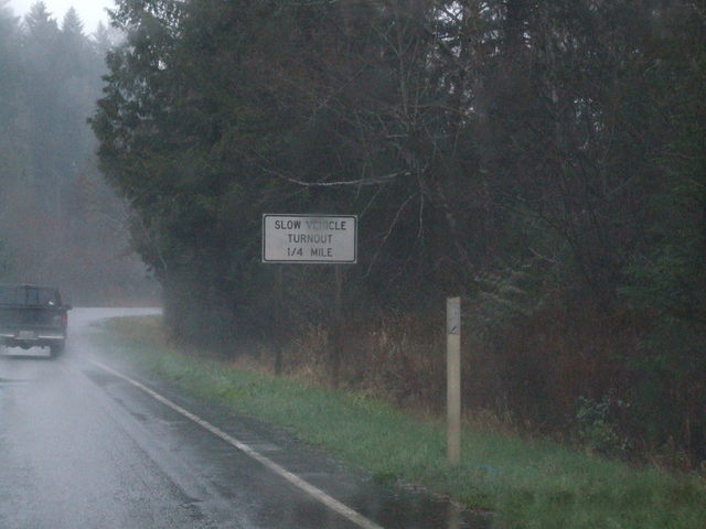
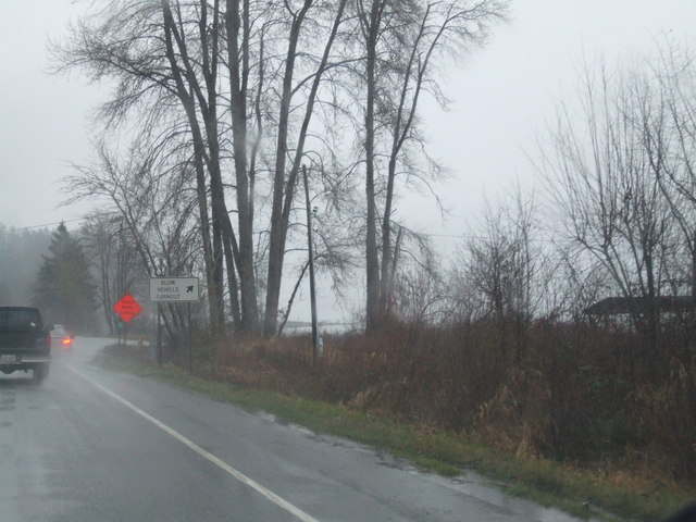
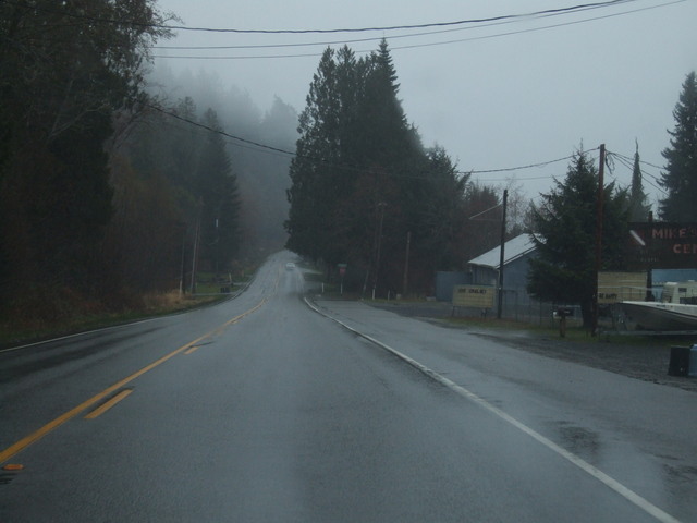
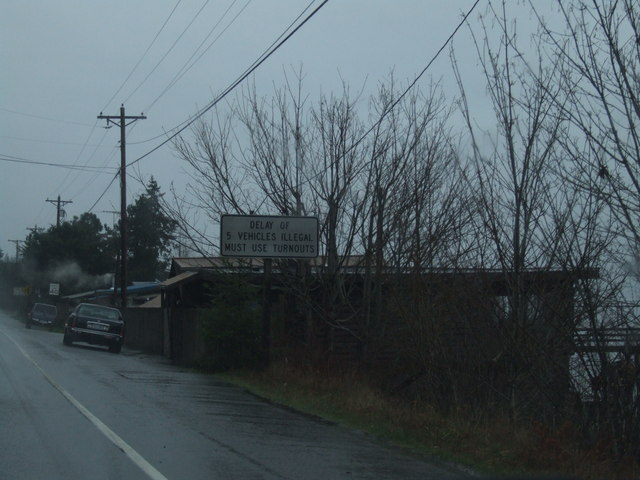
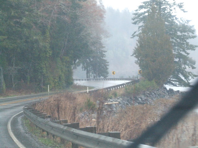
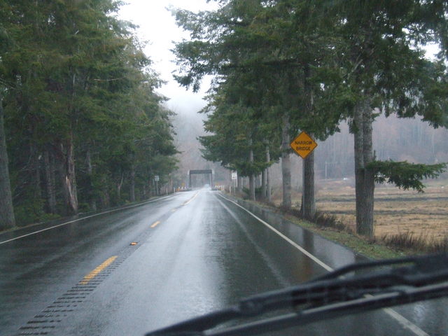
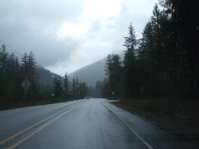
Since much of US 101 here is a 2-lane winding road, there are turnouts for slow vehicles to allow traffic to pass. [Crop/Zoom: 552x309]
[Crop/Zoom: 273x157]
[Larger: 1744x1308]
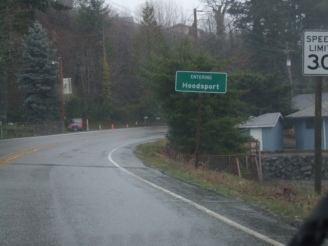
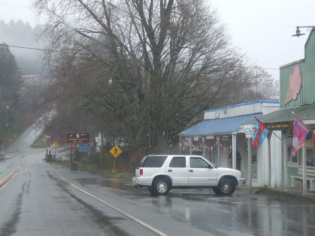
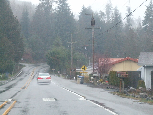
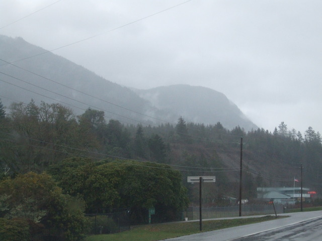
Into Hoodsport. [Crop/Zoom: 592x309]
[Larger: 1744x1308]
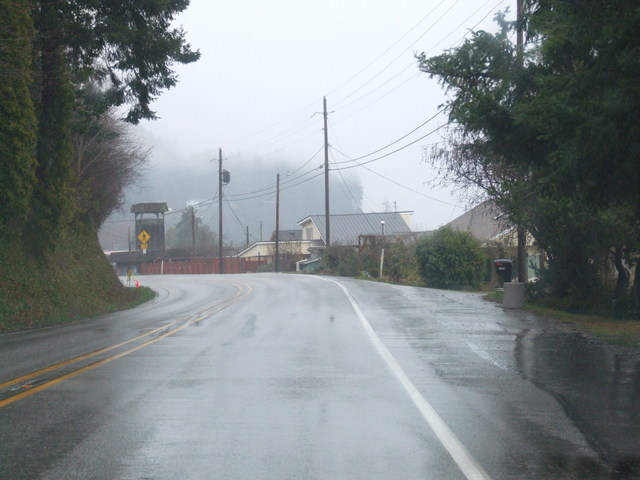
Hoodsport. [Larger: 1744x1308]
[Larger: 1744x1308]
[Larger: 1744x1308]
[Crop/Zoom: 595x293]
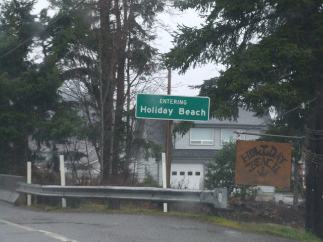
Then it's Holiday Beach. [Crop/Zoom: 848x345]
[Larger: 1744x1308]
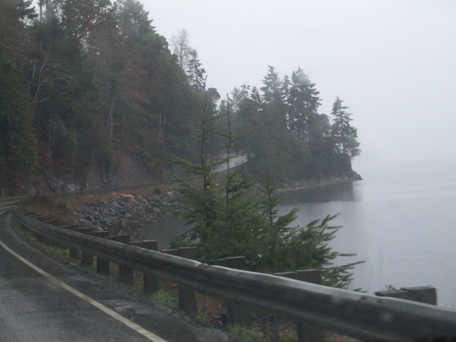
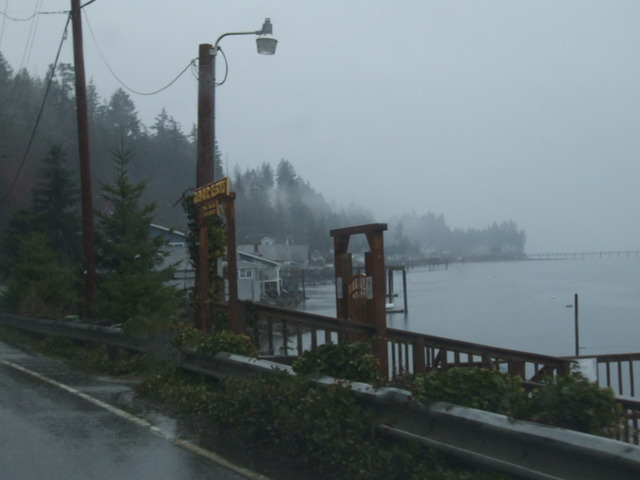
The route is right along the Hood Canal for much of this stretch, with steep slopes just off to the left. [Larger: 1744x1308]
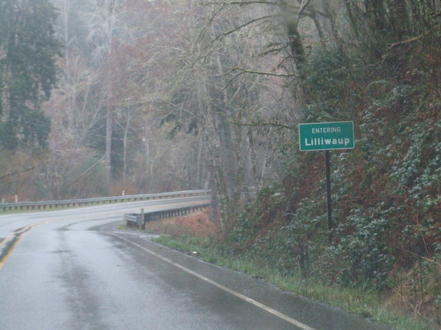
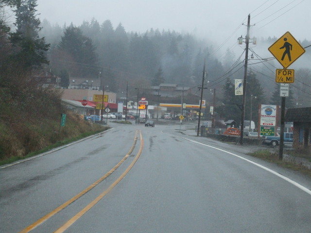
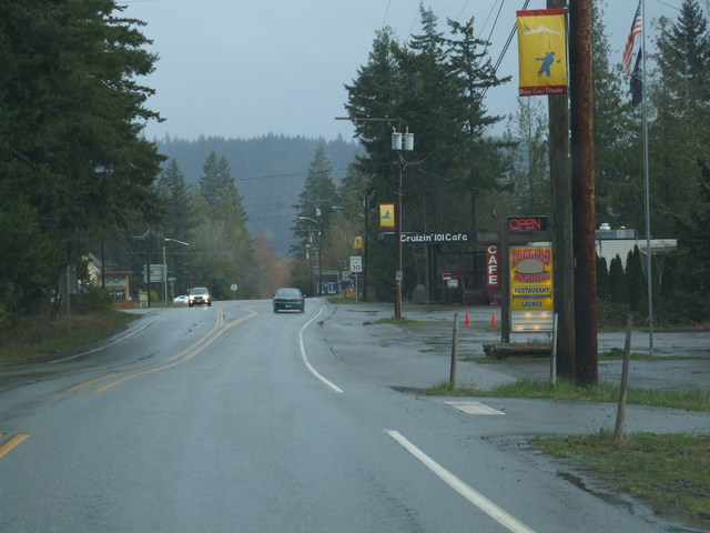
Next town is Lilliwaup. [Crop/Zoom: 483x286]
But I didn't get any decent pictures. [Larger: 1744x1308]
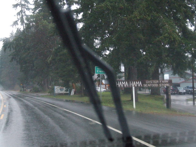
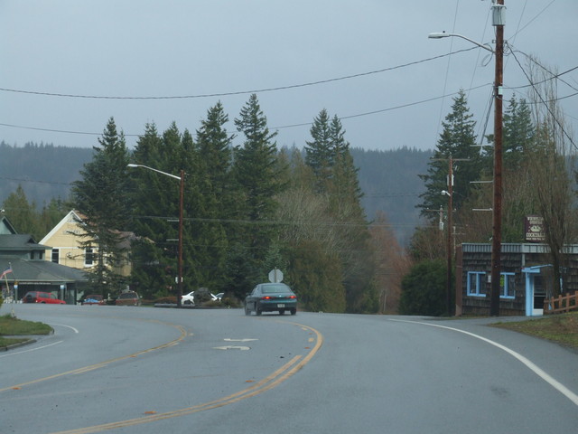
Eldon. [Larger: 1744x1308]
[Larger: 1744x1308]
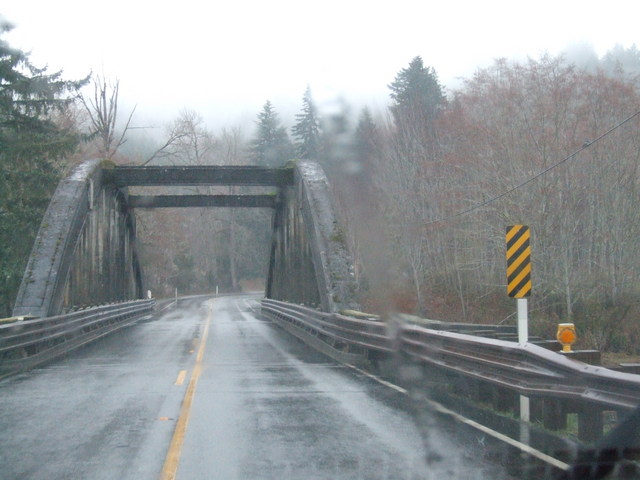
Many of the bridges through here are mossy. [Larger: 1744x1308]
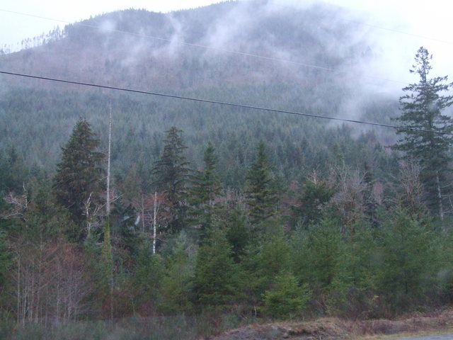
The rain picked up north of there. [Larger: 1744x1308]
[Larger: 1744x1308]
[Larger: 1744x1308]
[Larger: 1744x1308]
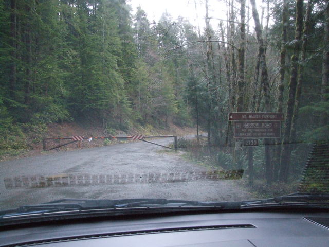
Since late February isn't prime tourist season, most of the turnoffs and other facilities were close - such as this scenic viewpoint. [Larger: 1744x1308]
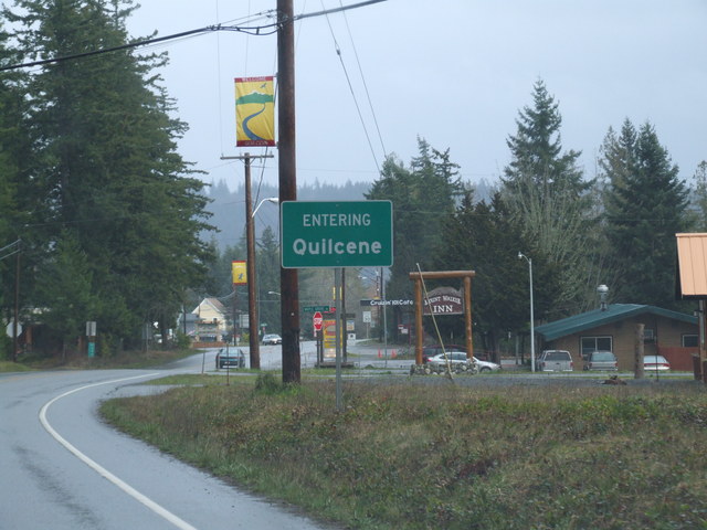
Entering Quilcene. [Crop/Zoom: 617x404]
[Larger: 1744x1308]
[Larger: 1744x1308]
[Larger: 1744x1308]
[Crop/Zoom: 624x549]
[Crop/Zoom: 582x312]
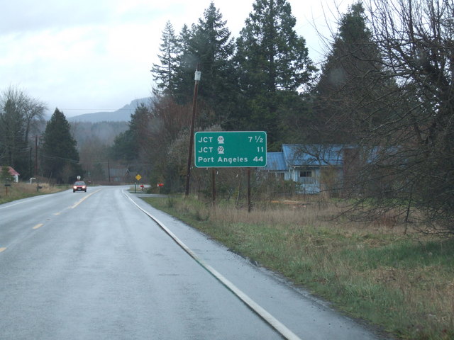
North of Quilcene, things dried out, and by the looks of the vegetation, it's a drier area than down along the water. [Larger: 1744x1308]
[Larger: 1744x1308]
[Crop/Zoom: 325x342]
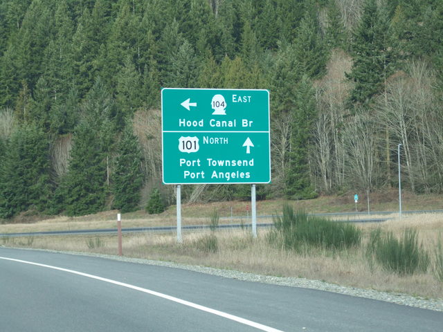
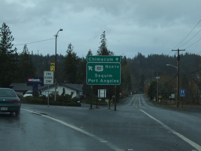
This is my limit for US 101 for now. Time to turn back toward Seattle. [Crop/Zoom: 911x806]
[Larger: 1744x1308]
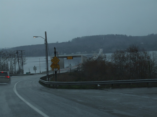
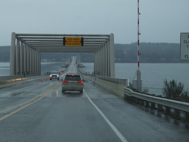
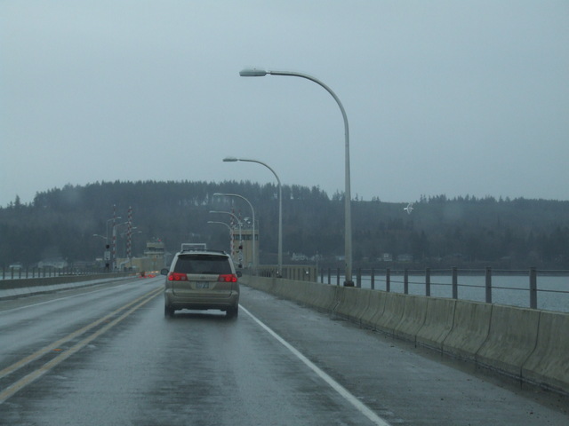
This led to the Hood Canal Bridge. [Larger: 1744x1308]
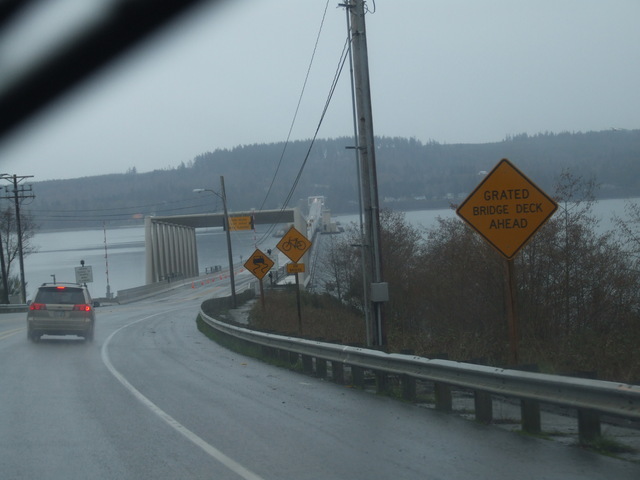
[Crop/Zoom: 571x581]
[Larger: 1744x1308]
[Larger: 1744x1308]
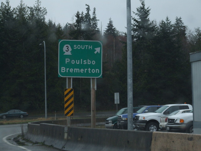
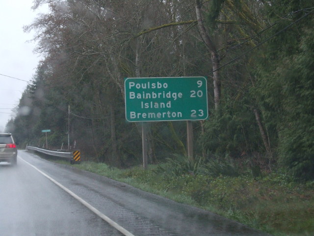
And then onto Washington 3 South. [Crop/Zoom: 802x716]
[Larger: 1744x1308]
[Larger: 1744x1308]
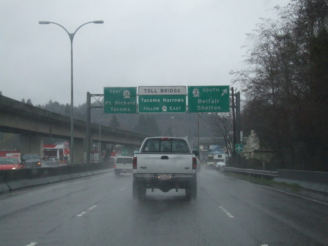
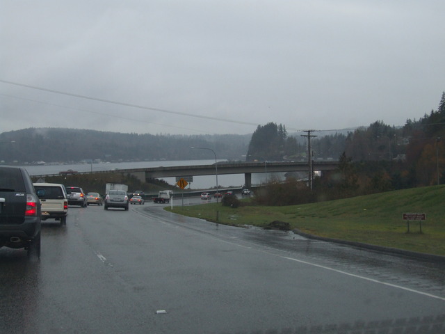
And then 16 toward Tacoma Narrows. [Crop/Zoom: 1400x322]
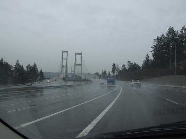
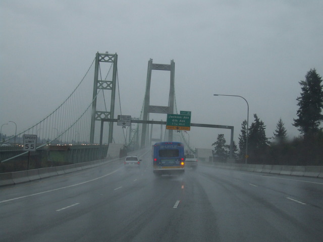
There's the Tacoma Narrows bridge. [Larger: 1744x1308]
[Larger: 1744x1308]
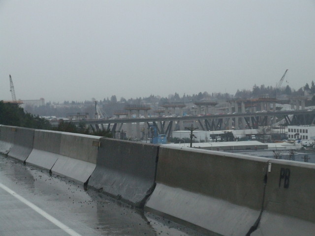
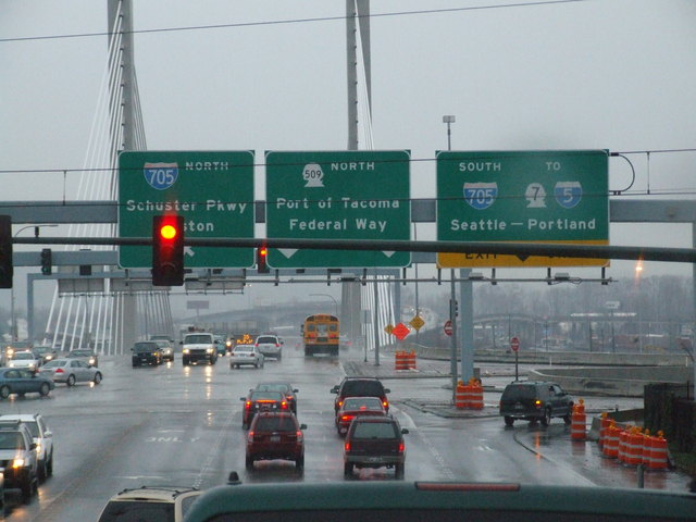
Lots of construction at the WA 16/I-5 junction in Tacoma. [Larger: 1744x1308]
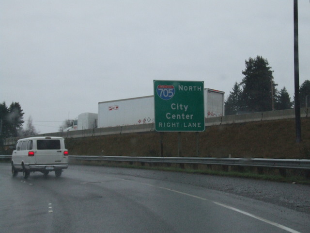
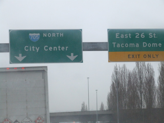
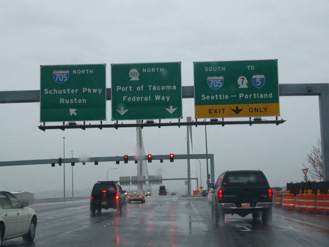
Time for a short trip into Tacoma on I-705. [Crop/Zoom: 3024x865]
[Crop/Zoom: 624x628]
[Crop/Zoom: 3327x782]
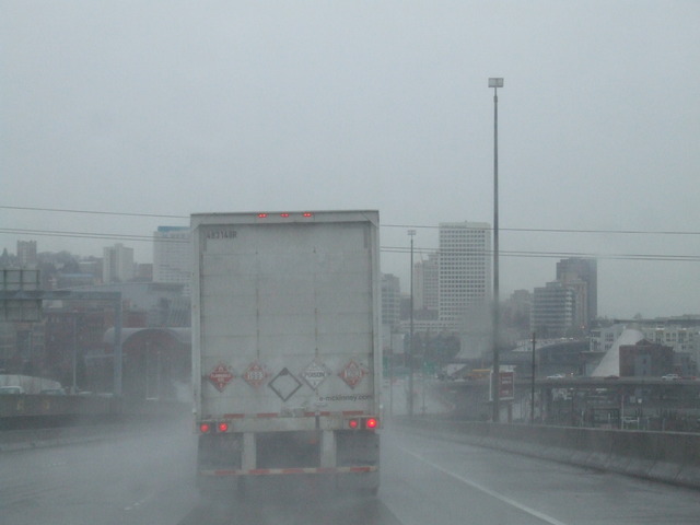
Coming into Tacoma. [Larger: 1744x1308]
[Larger: 1744x1308]
[Crop/Zoom: 240x286]
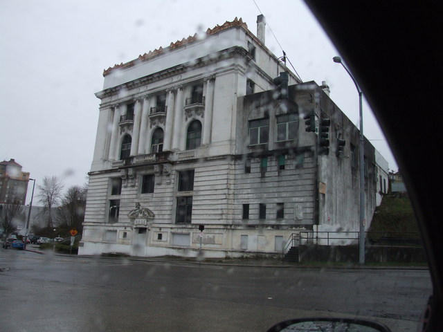
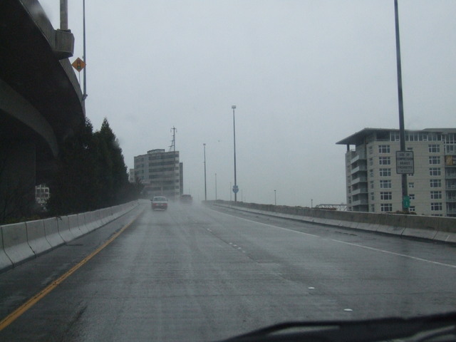
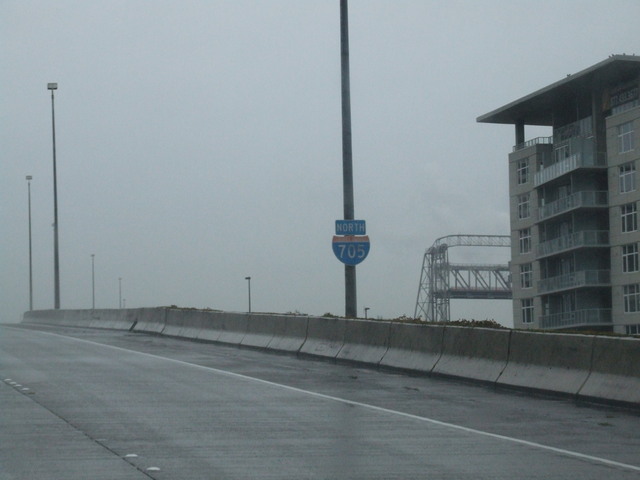
And now a short tour of Tacoma. [Larger: 1744x1308]
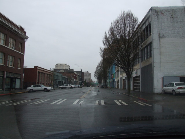
[Larger: 1744x1308]
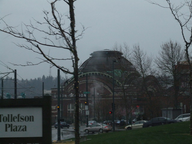
[Larger: 1744x1308]
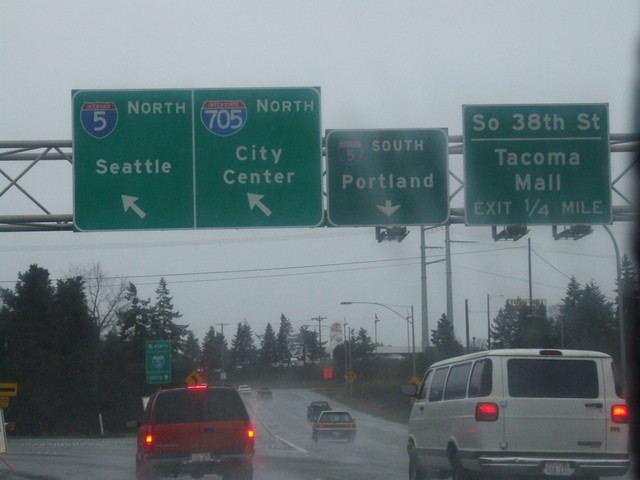
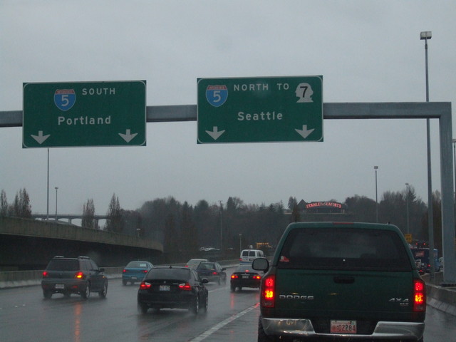
Very short - time to get back to I-5 then find some dinner. [Larger: 1744x1308]
[Crop/Zoom: 2612x713]
[Crop/Zoom: 2346x594]