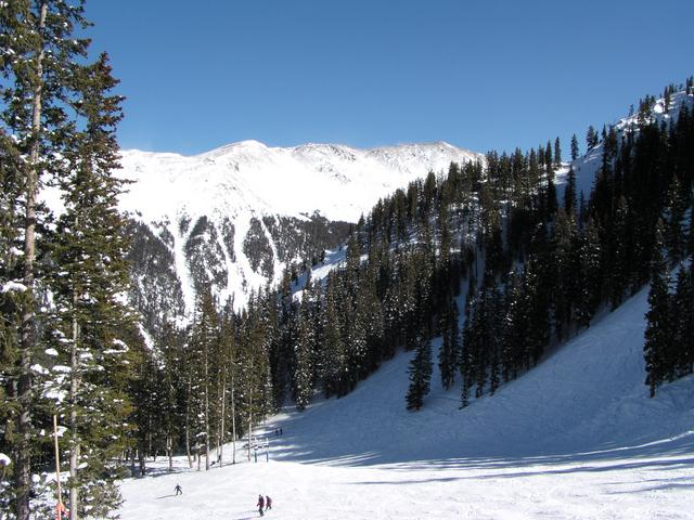
View of Kachina Peak (12,481 feet). The trail map says you can hike up there and ski it, but it's hard to tell if there are any tracks up there. [2048x1536]
Looking out across the basin at a windblown ridge. [2048x1536]
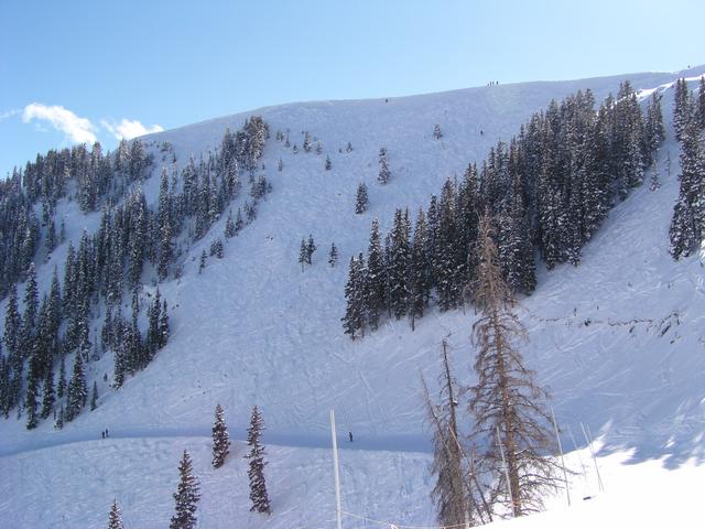
The Highline Ridge, with Honeysuckle being the easy trail across. [2048x1536]
The Highline Ridge again. The little dots on the ridge are people. [2048x1536]
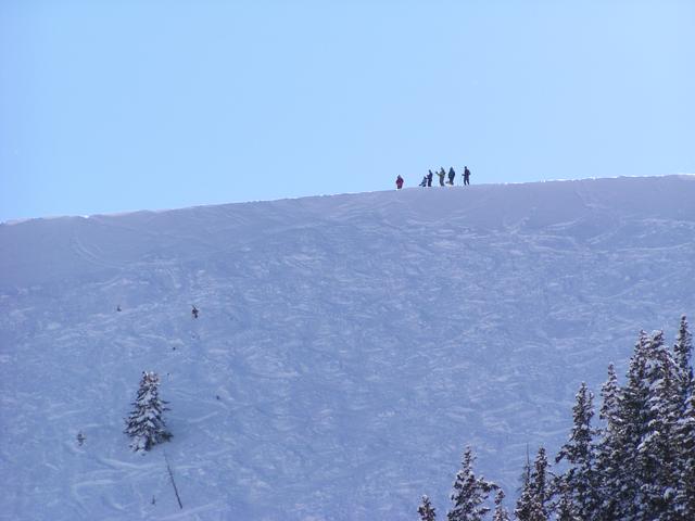
Those people. [2048x1536]

Here come some of them. [2048x1536]
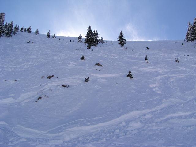
Snow blowing over the ridge through the sunlight. [2048x1536]
Further down Honeysuckle. [2048x1536]
[2048x1536]
[2048x1536]
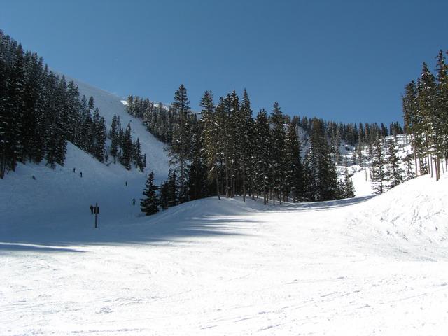
Lower Totemoff. [2048x1536]
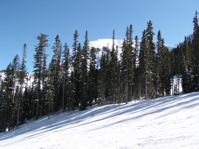
Kachina through the trees. [2048x1536]