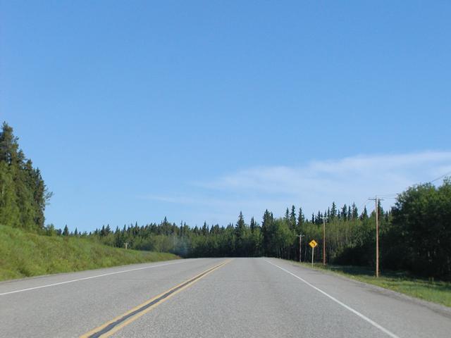
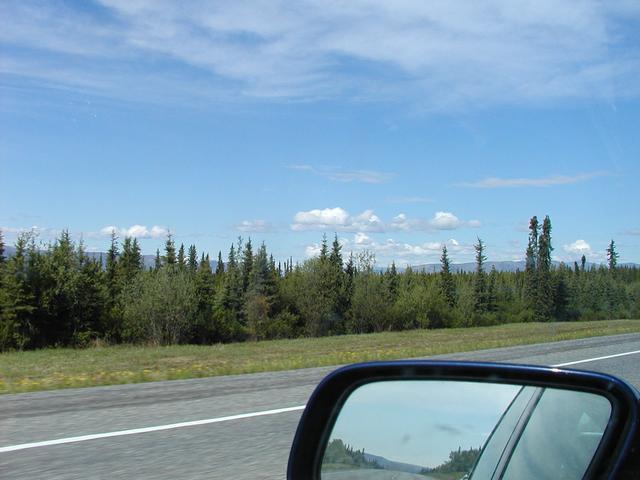
The Alaska Highway northbound, just north of Fort St. John. [800x600][1600x1200]
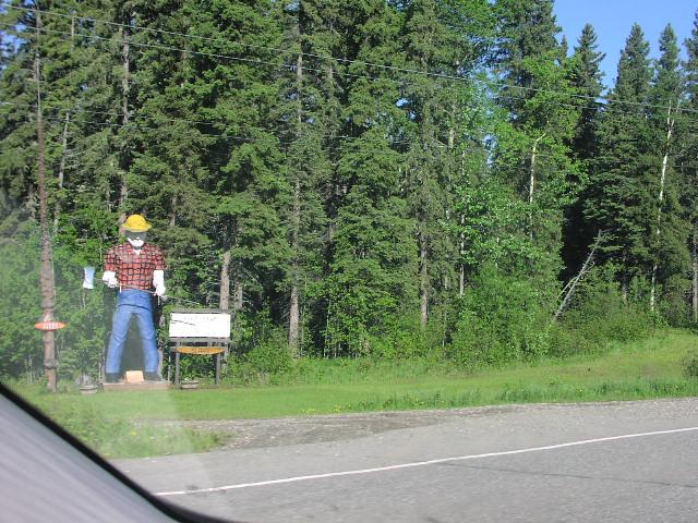
Rob's picture: Clarke Sawmill lumberjack at Mile 62.
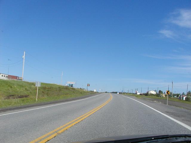
I believe this is the town of Wonowon, at (of course) Mile 101. [800x600][1600x1200]
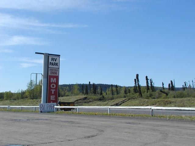
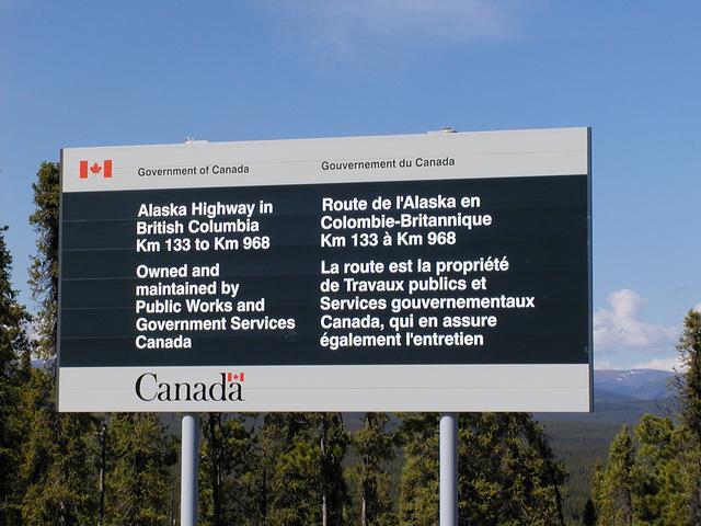
I don't know where exactly this is, or why there is a picture of it. [800x600][1600x1200]
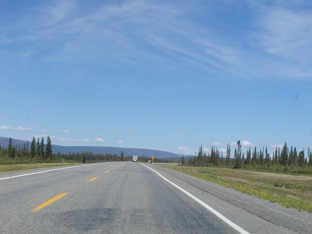
The highway, probably around Mile 150. [800x600][1600x1200]
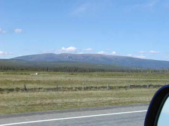
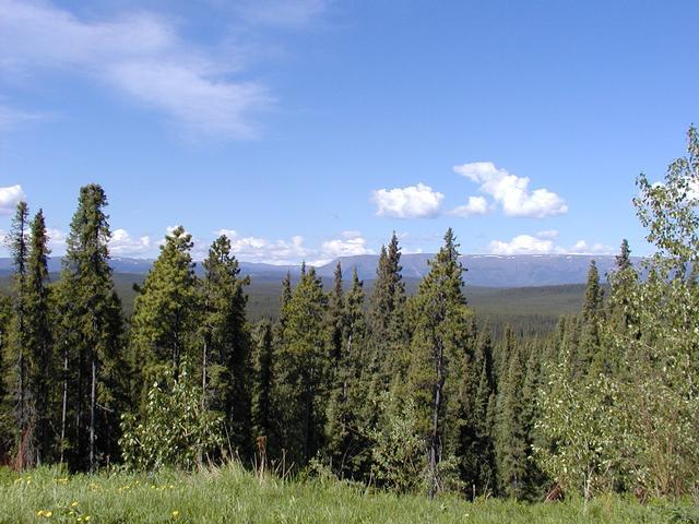
A mountain off to the west, probably around mile 150. [800x600][1600x1200]
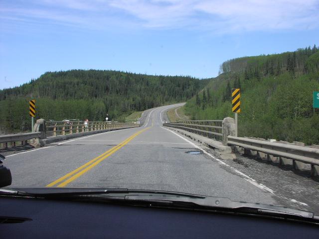
Rob's picture: This is probably the Sikanni River Bridge, Mile 159.
"Drunken Forest" around Mile 160, just past the Sikanni River Bridge. [800x600][1600x1200]
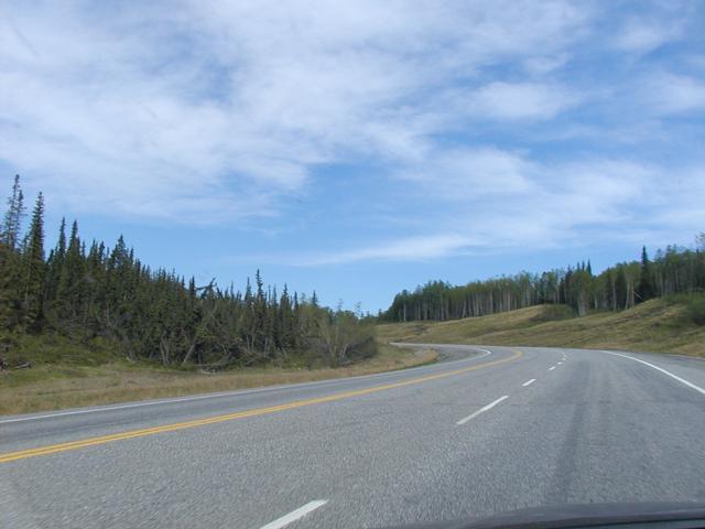
North of Fort St. John, probably around Mile 170. [800x600][1600x1200]
Taken at a turnout at Mile 182. [800x600][1600x1200]
View from that turnout. The terrain is starting to get a little more interesting. [800x600][1600x1200]
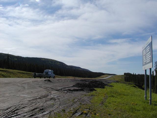
There's a lot of mud in this turnout. [800x600][1600x1200]
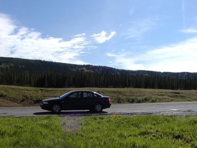
The car made it here. [800x600][1600x1200]
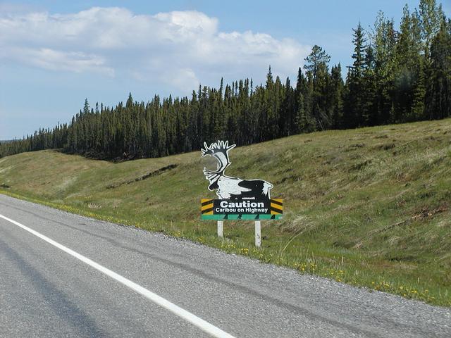
Wildlife warning sign also near Mile 182. [800x600][1600x1200]
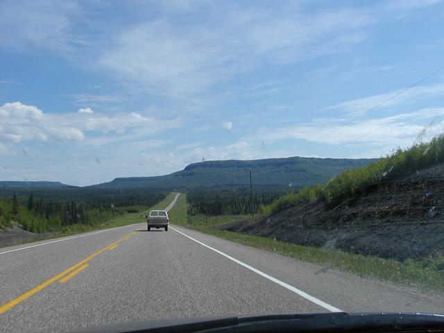
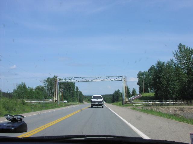
Taken northbound, probably around Mile 200. [800x600][1600x1200]
Rob's picture: Construction at the Bougie Creek Bridge, Mile 222.

Rob's picture: Bougie Creek Bridge.
Rob's picture: This could be the Bougie Creek.

Rob's picture: Some interesting terrain in the Mile 230-260 range.
Rob's picture: Sulphur gas pipeline crossing, Mile 270.
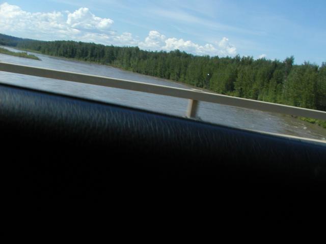
Crossing the Muskwa River. [800x600][1600x1200]
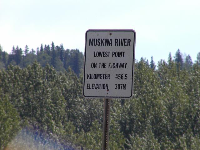
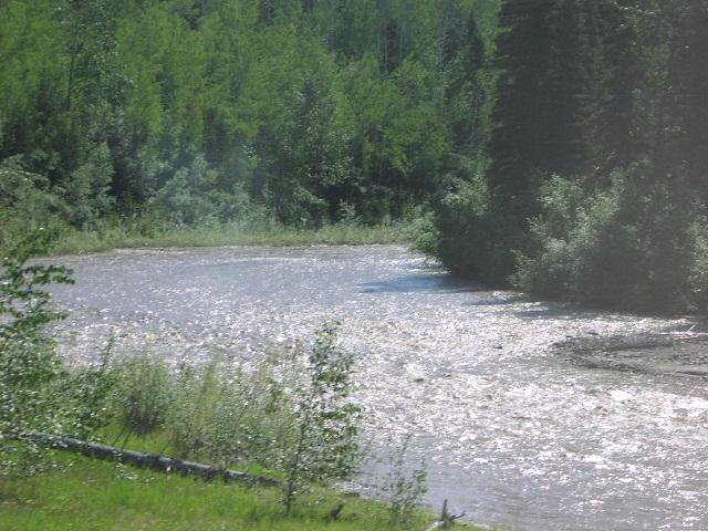
We're at the Muskwa River, just before Fort Nelson. [800x600][1600x1200]
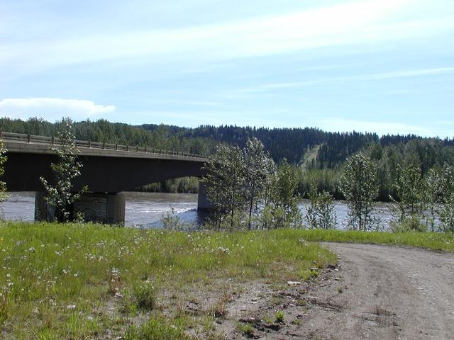
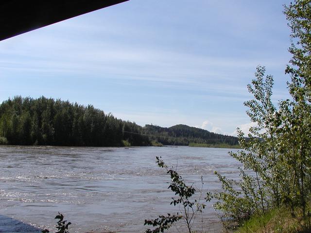
There's a bridge here. [800x600][1600x1200]
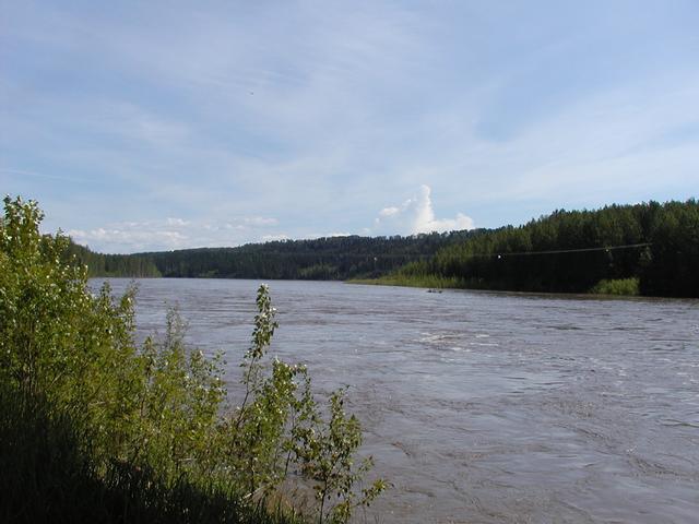
And the water is really flowing from recent heavy rains. [800x600][1600x1200]
The river again. [800x600][1600x1200]