The road up to Mount Mitchell. [800x600][1600x1200]
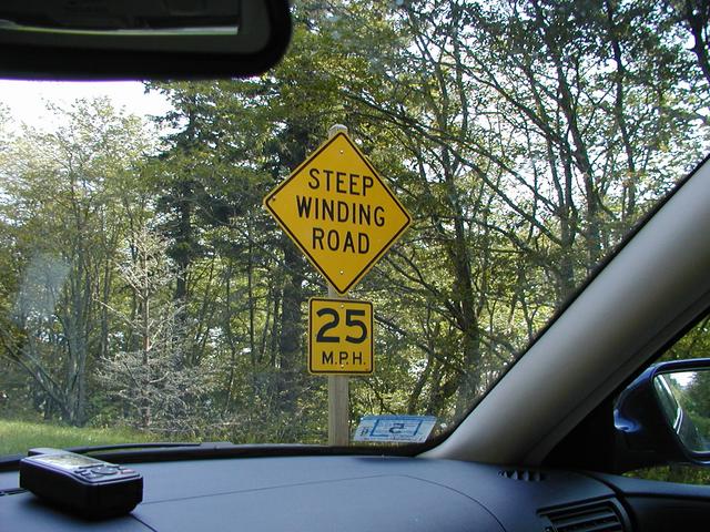
It's a steep, winding road. [800x600][1600x1200]
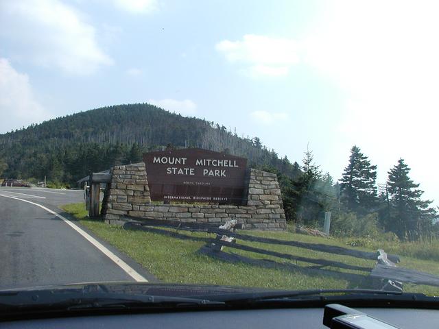
Entrance to the state park. [800x600][1600x1200]
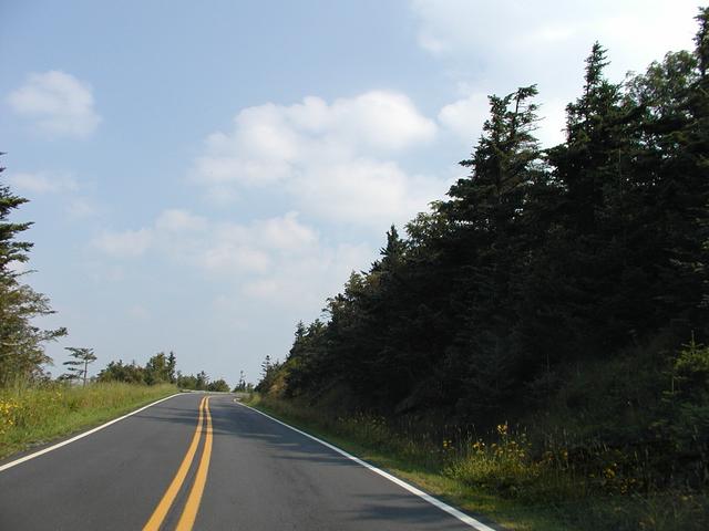
The road nearing the summit. [800x600][1600x1200]
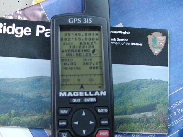
At the parking lot, the GPS shows 6582 ft. It's pretty close. This is the current record for my car's highest elevation. Passing the 6393 at the Continental Divide on I-90 in Montana in June, 2001. [800x600][1600x1200]

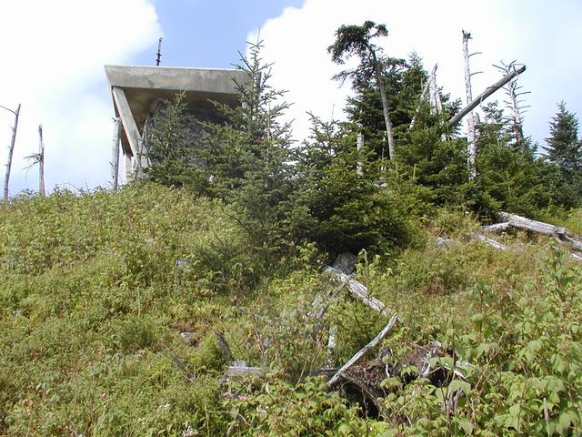
Some info about the observation tower. [800x600][1600x1200]
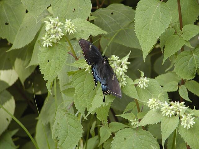
A butterfly along the trail to the summit. [800x600][1600x1200]

The trail. [800x600][1600x1200]
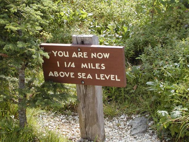
We pass 1.25 miles above sea level part way up the trail. [800x600][1600x1200]
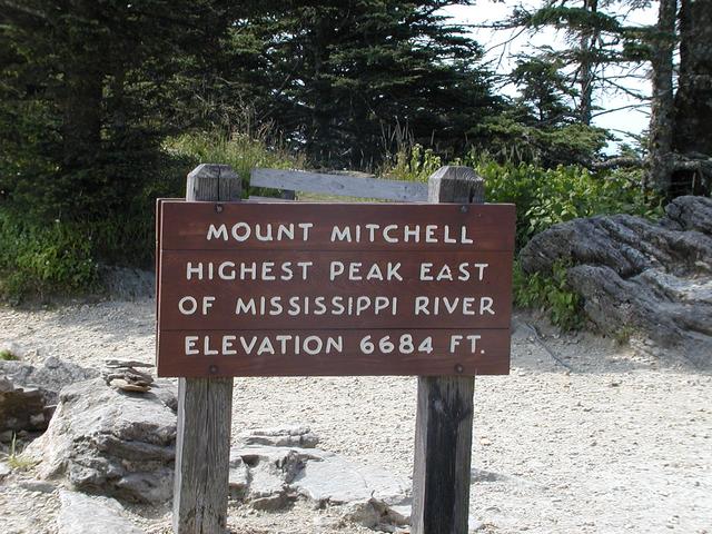
And here it is. [800x600][1600x1200]
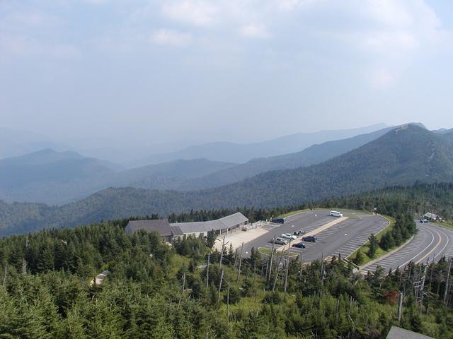
View of the parking area. [800x600][1600x1200]
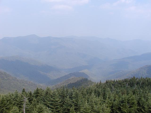
[800x600][1600x1200]
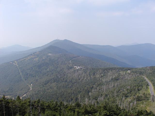
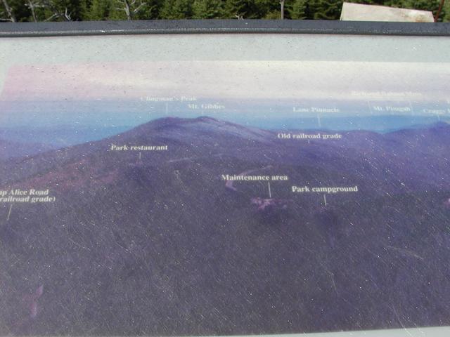
Clingman's Peak and more. [800x600][1600x1200]
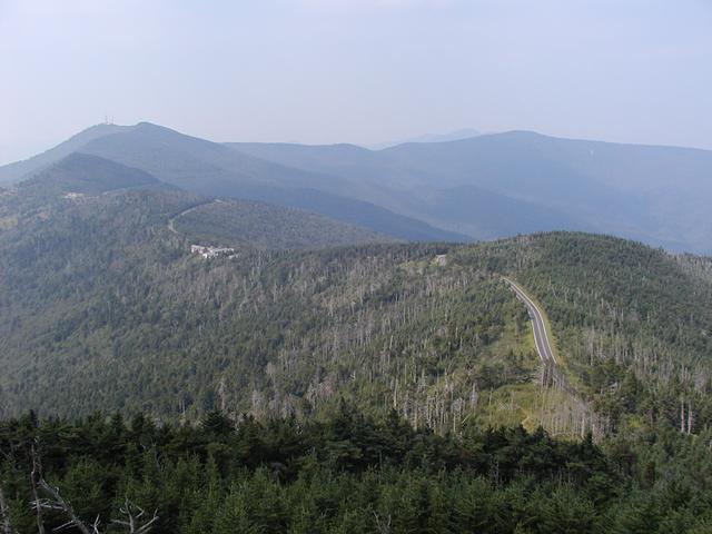
Wider view, including the road up here. [800x600][1600x1200]
Here's what we're looking at. [800x600][1600x1200]
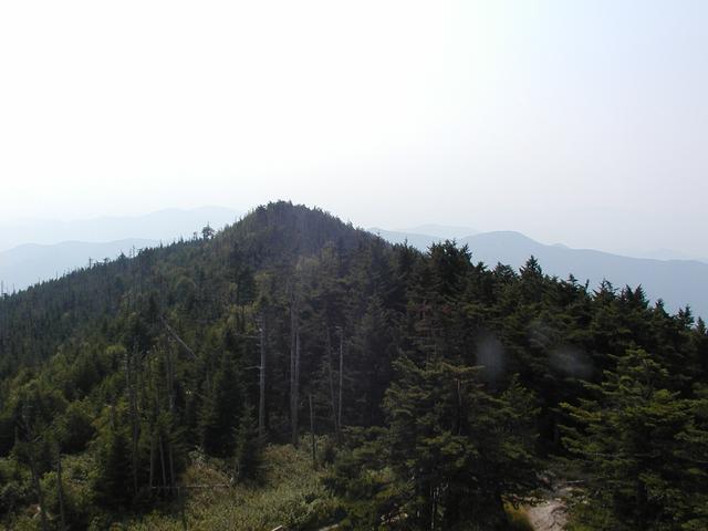
Ridge near the summit. [800x600][1600x1200]
What we're looking at... [800x600][1600x1200]

...down here. [800x600][1600x1200]
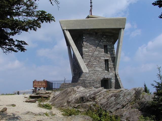
The tower. [800x600][1600x1200]
The tower again, part way down the trail. [800x600][1600x1200]
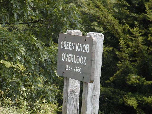
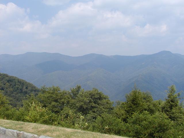
Green Knob overlook. [800x600][1600x1200]
And this is what you see there. [800x600][1600x1200]
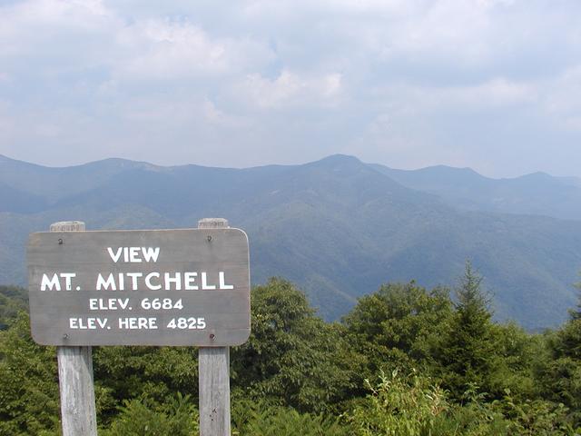
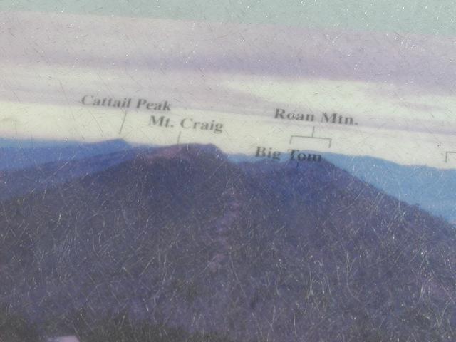
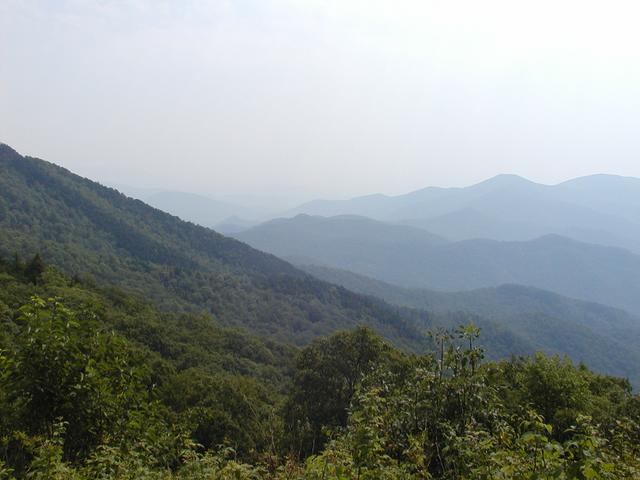
Now on to an overlook of the Black Mountains, including Mount Mitchell. [800x600][1600x1200]
The Black Mountains. [800x600][1600x1200]