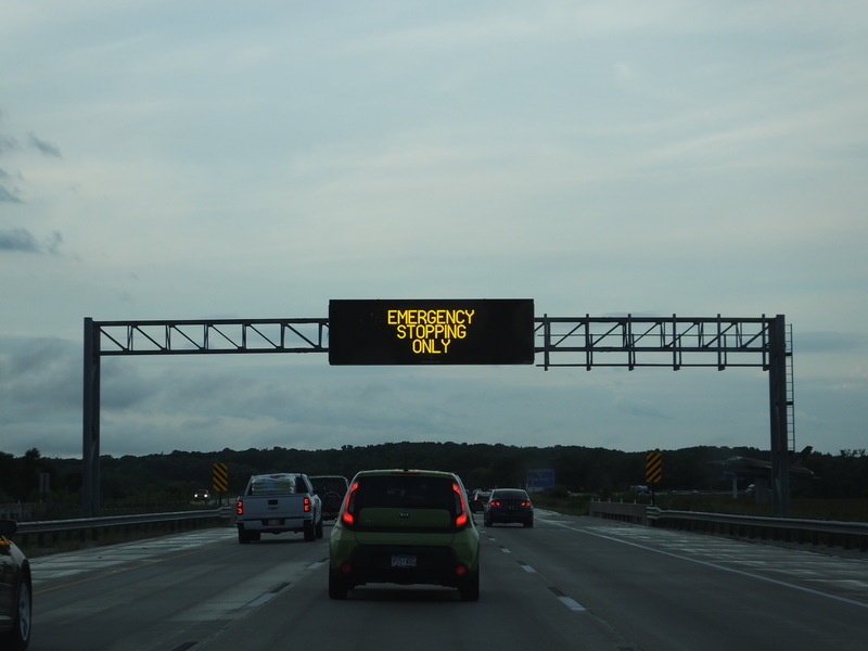
If you see an eclipse on I-80, don't stop!
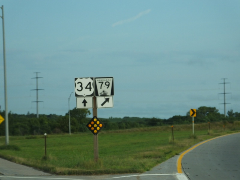
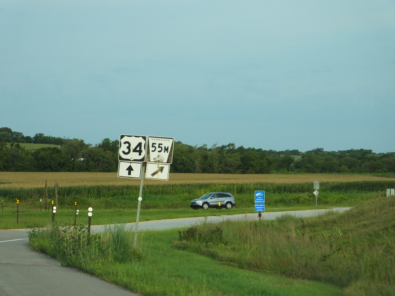
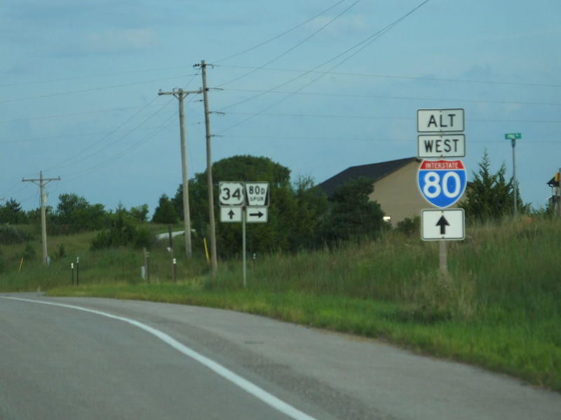
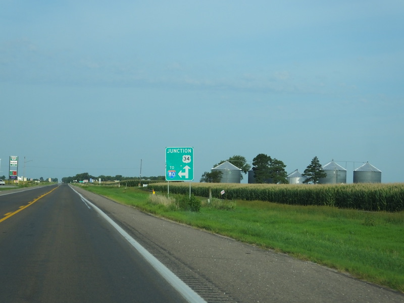
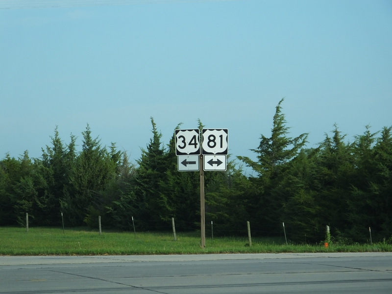
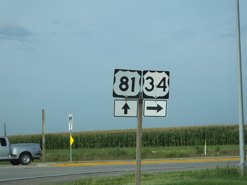
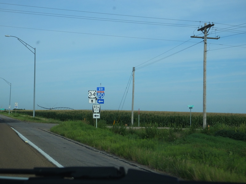
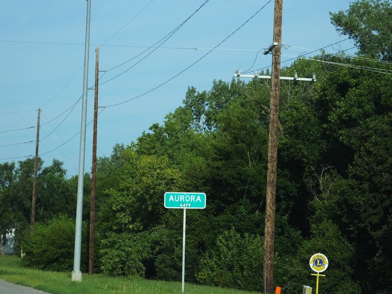
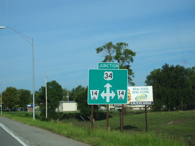
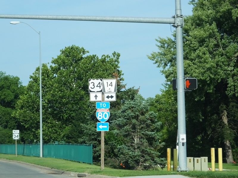
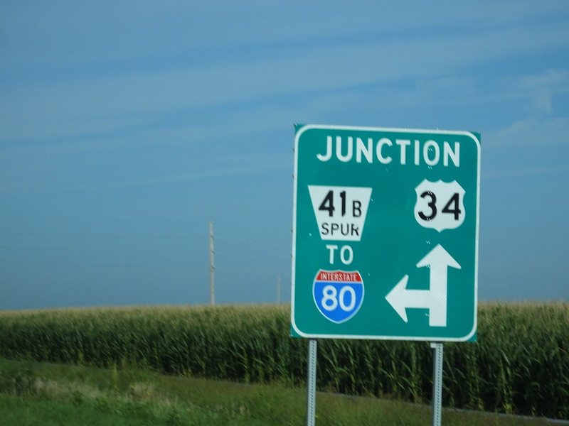
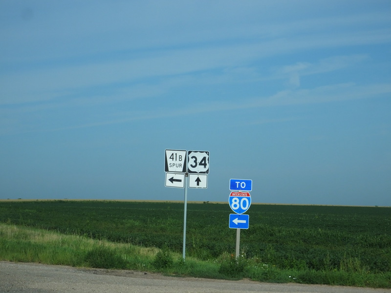
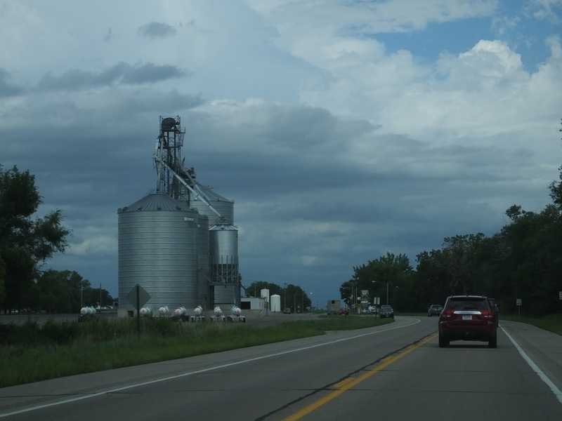
We decided to take US 34 for a less stressful ride between Lincoln and Grand Island. [Crop/Zoom: 988x1301]
![[Crop/Zoom: 988x1301]](DSCF0067-close.jpg)
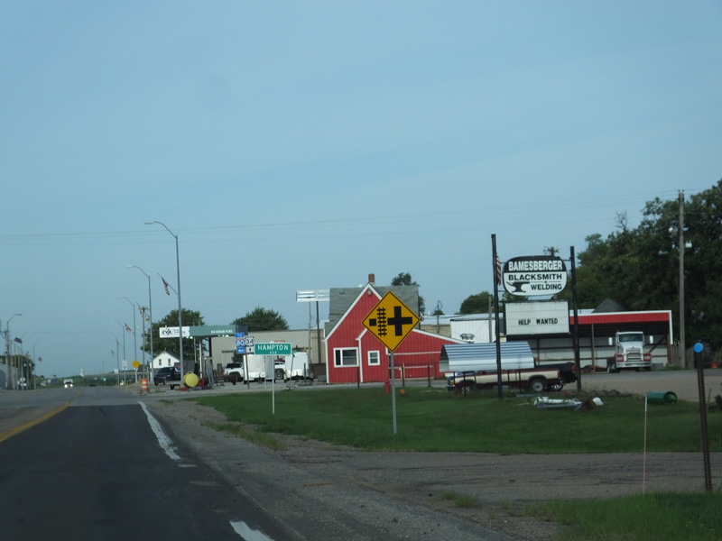
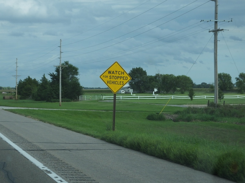
[Crop/Zoom: 902x844]
![[Crop/Zoom: 902x844]](DSCF0068-close.jpg)
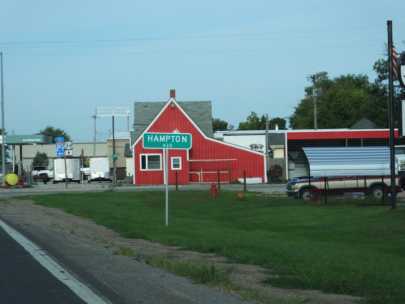
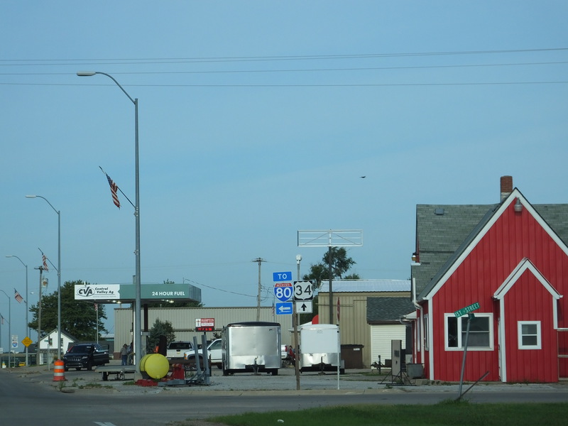
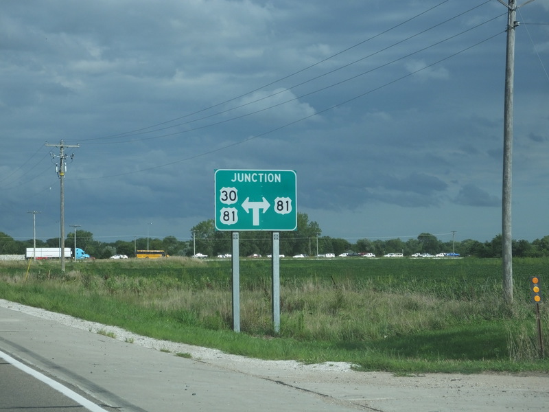
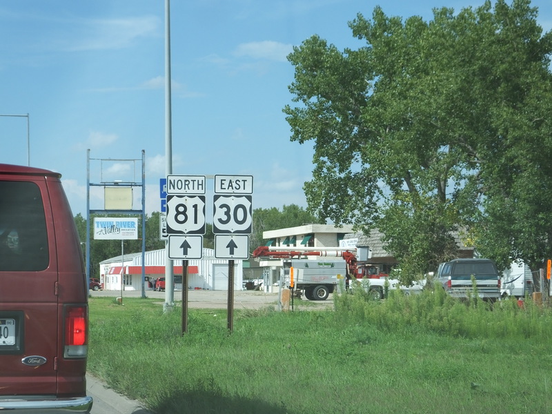
[Crop/Zoom: 2412x1522]
![[Crop/Zoom: 2412x1522]](DSCF0069-close.jpg)
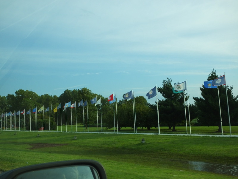
These flags were on the right coming into Seward. [Larger: 2304x1728]
![[Larger: 2304x1728]](DSCF0070-2304.jpg)
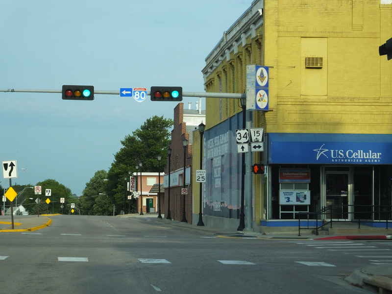
Seward. [Crop/Zoom: 521x558]
![[Crop/Zoom: 521x558]](DSCF0071-close.jpg)
[Crop/Zoom: 614x1078]
![[Crop/Zoom: 614x1078]](DSCF0072-close.jpg)
[Crop/Zoom: 824x600]
![[Crop/Zoom: 824x600]](DSCF0073-close.jpg)
[Crop/Zoom: 614x786]
![[Crop/Zoom: 614x786]](DSCF0074-close.jpg)
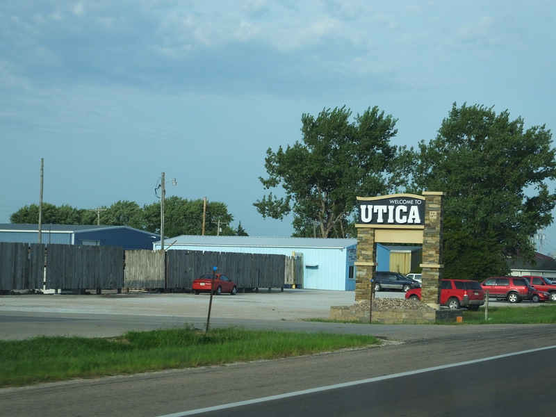
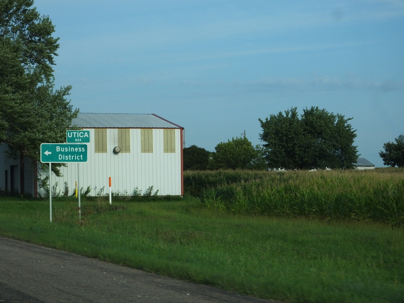
It's Utica. [Crop/Zoom: 1000x1592]
![[Crop/Zoom: 1000x1592]](DSCF0075-close.jpg)
[Larger: 2304x1728]
![[Larger: 2304x1728]](DSCF0076-2304.jpg)
[Crop/Zoom: 1177x1192]
![[Crop/Zoom: 1177x1192]](DSCF0077-close.jpg)
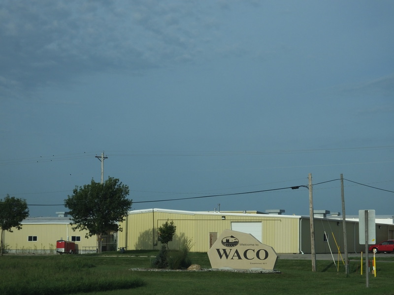
Passing through Waco. [Crop/Zoom: 1136x785]
![[Crop/Zoom: 1136x785]](DSCF0078-close.jpg)
[Crop/Zoom: 979x932]
![[Crop/Zoom: 979x932]](DSCF0081-close.jpg)
[Crop/Zoom: 1544x1457]
![[Crop/Zoom: 1544x1457]](DSCF0083-close.jpg)
[Crop/Zoom: 1480x1324]
![[Crop/Zoom: 1480x1324]](DSCF0084-close.jpg)
[Crop/Zoom: 826x1047]
![[Crop/Zoom: 826x1047]](DSCF0085-close.jpg)
[Crop/Zoom: 559x517]
![[Crop/Zoom: 559x517]](DSCF0086-close.jpg)
[Crop/Zoom: 1822x973]
![[Crop/Zoom: 1822x973]](DSCF0087-close.jpg)
[Crop/Zoom: 577x681]
![[Crop/Zoom: 577x681]](DSCF0088-close.jpg)
[Crop/Zoom: 743x508]
![[Crop/Zoom: 743x508]](DSCF0089-close.jpg)
[Crop/Zoom: 1213x1374]
![[Crop/Zoom: 1213x1374]](DSCF0090-close.jpg)
[Crop/Zoom: 499x973]
![[Crop/Zoom: 499x973]](DSCF0091-close.jpg)
[Crop/Zoom: 1891x2094]
![[Crop/Zoom: 1891x2094]](DSCF0092-close.jpg)
[Crop/Zoom: 1374x1381]
![[Crop/Zoom: 1374x1381]](DSCF0093-close.jpg)
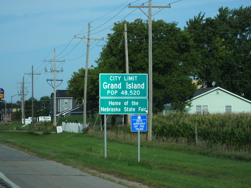
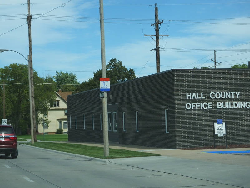
Arrival in Grand Island with plenty of time to spare. [Crop/Zoom: 1228x1528]
![[Crop/Zoom: 1228x1528]](DSCF0094-close.jpg)

[Crop/Zoom: 855x1448]
![[Crop/Zoom: 855x1448]](DSCF0095-close.jpg)
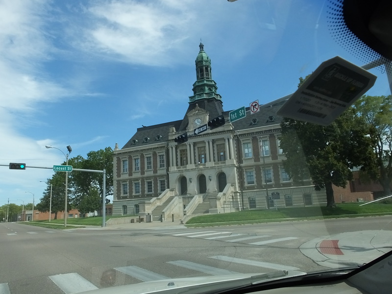
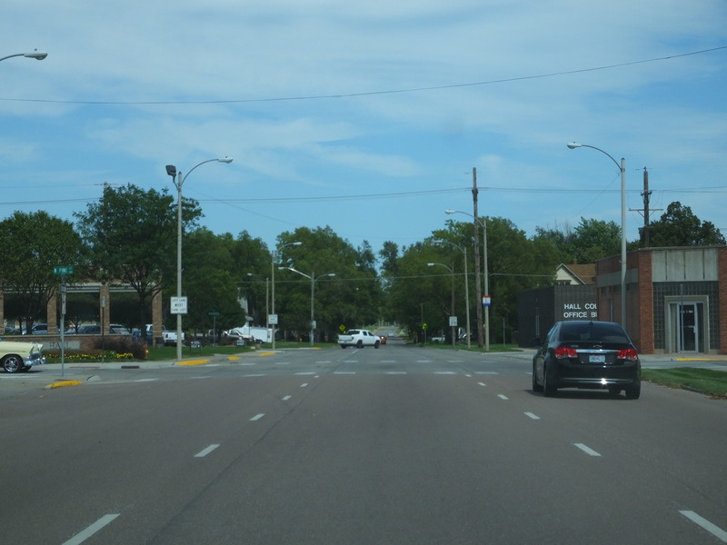
After the eclipse, up into the center of Grand Island on our way out. [Larger: 1632x1224]
![[Larger: 1632x1224]](DSCF0148-1632.jpg)
[Larger: 2304x1728]
![[Larger: 2304x1728]](DSCF0149-2304.jpg)
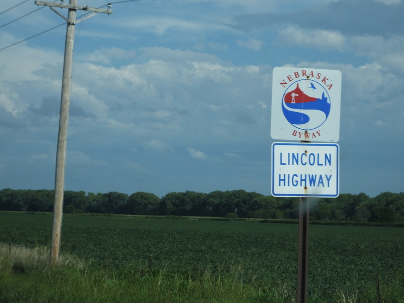
Onto the Lincoln Highway. [Crop/Zoom: 429x543]
![[Crop/Zoom: 429x543]](DSCF0150-close.jpg)
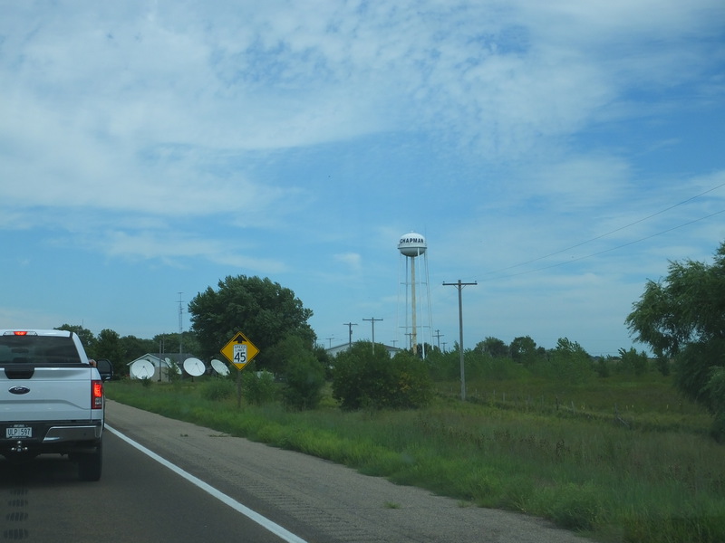
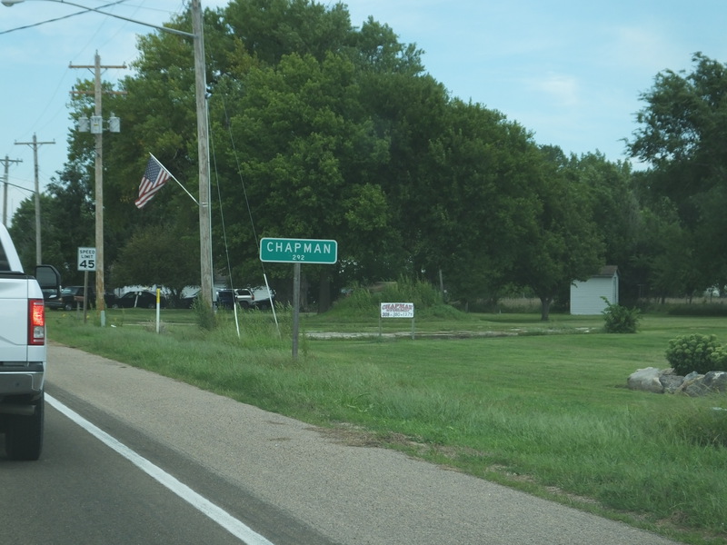
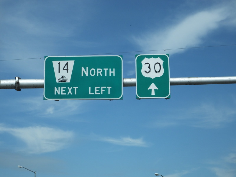
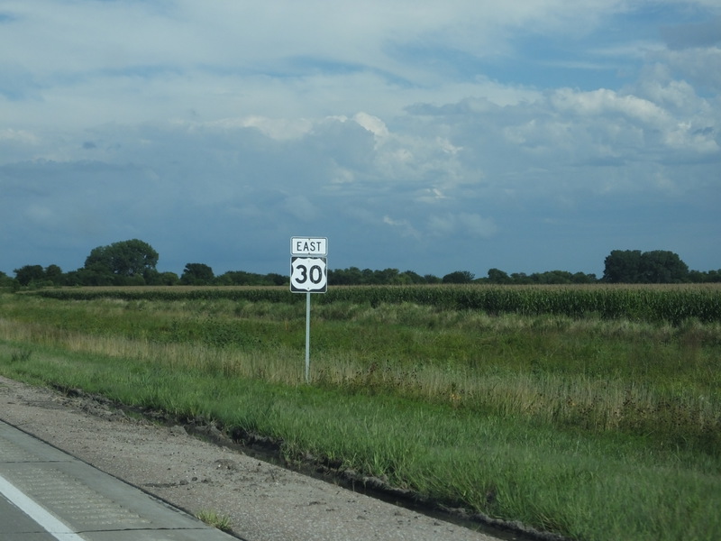
We took US 30 back. One town we passed was Chapman. [Larger: 2304x1728]
![[Larger: 2304x1728]](DSCF0151-2304.jpg)
[Crop/Zoom: 732x416]
![[Crop/Zoom: 732x416]](DSCF0152-close.jpg)
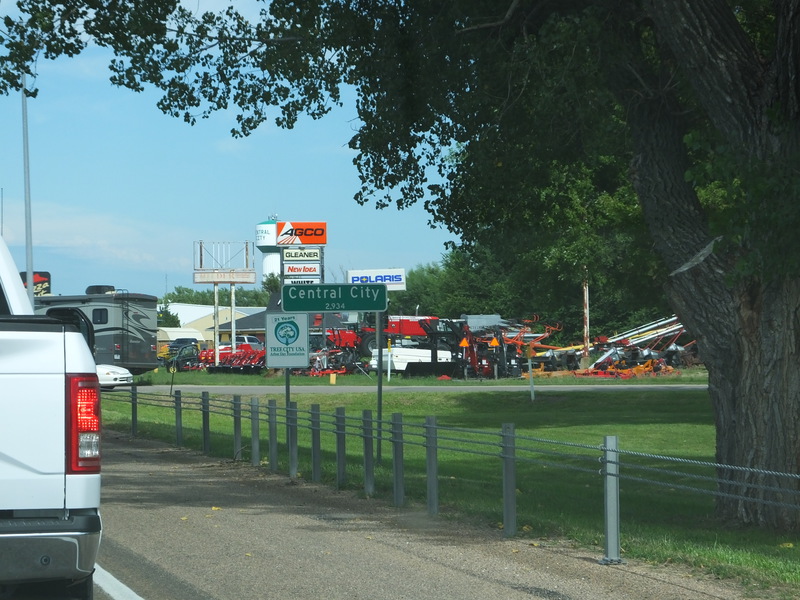
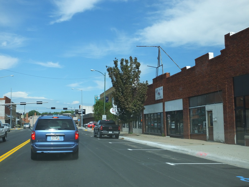
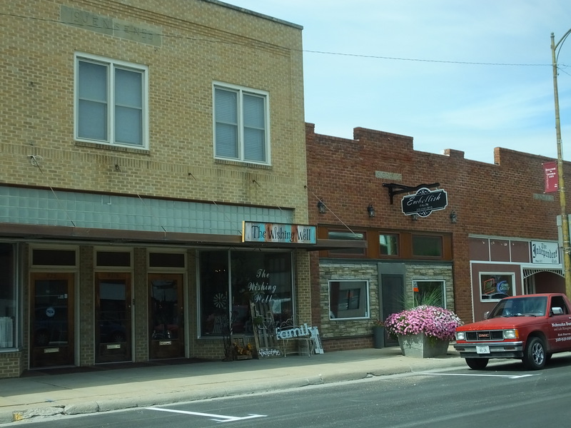
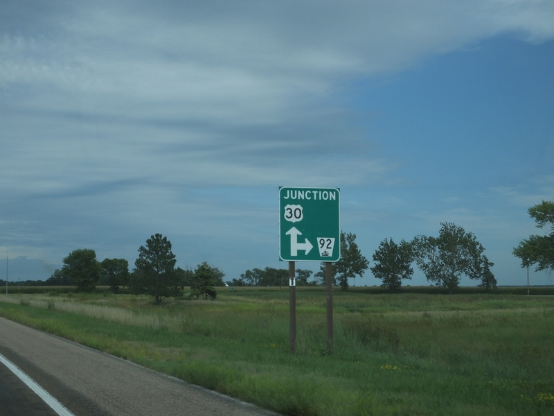
And Central City. [Crop/Zoom: 1003x777]
![[Crop/Zoom: 1003x777]](DSCF0153-close.jpg)
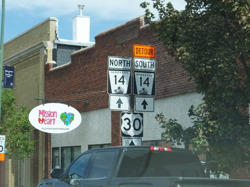
US 30 goes right through Central City. [Larger: 2304x1728]
![[Larger: 2304x1728]](DSCF0154-2304.jpg)
[Larger: 1632x1224]
![[Larger: 1632x1224]](DSCF0155-1632.jpg)
[Crop/Zoom: 812x1567]
![[Crop/Zoom: 812x1567]](DSCF0156-close.jpg)
[Crop/Zoom: 2797x1350]
![[Crop/Zoom: 2797x1350]](DSCF0157-close.jpg)
[Crop/Zoom: 867x1137]
![[Crop/Zoom: 867x1137]](DSCF0158-close.jpg)
[Crop/Zoom: 701x604]
![[Crop/Zoom: 701x604]](DSCF0159-close.jpg)
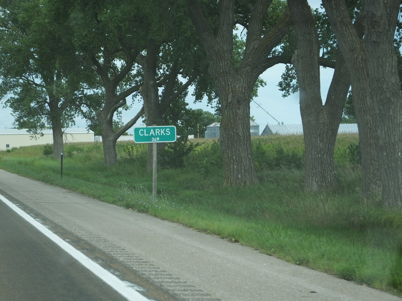
Clarks slowed us down a bit. [Larger: 2304x1728]
![[Larger: 2304x1728]](DSCF0160-2304.jpg)
[Crop/Zoom: 606x762]
![[Crop/Zoom: 606x762]](DSCF0161-close.jpg)
[Larger: 2304x1728]
![[Larger: 2304x1728]](DSCF0162-2304.jpg)
[Crop/Zoom: 1114x1234]
![[Crop/Zoom: 1114x1234]](DSCF0163-close.jpg)
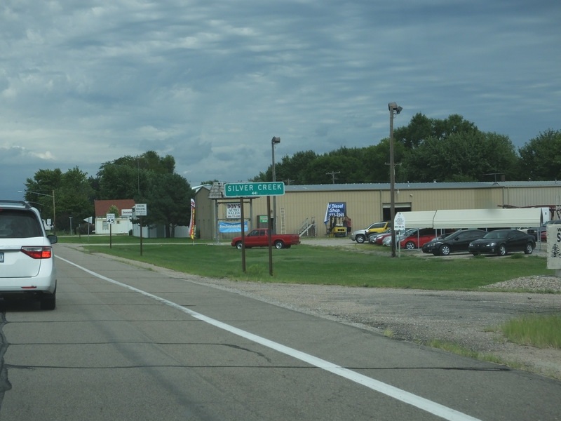
The next little town is Silver Creek. [Crop/Zoom: 699x371]
![[Crop/Zoom: 699x371]](DSCF0164-close.jpg)
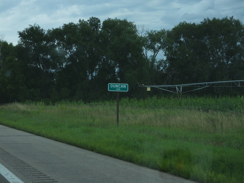
And Duncan. [Crop/Zoom: 580x358]
![[Crop/Zoom: 580x358]](DSCF0165-close.jpg)
[Larger: 1632x1224]
![[Larger: 1632x1224]](DSCF0166-1632.jpg)
[Crop/Zoom: 852x1096]
![[Crop/Zoom: 852x1096]](DSCF0167-close.jpg)
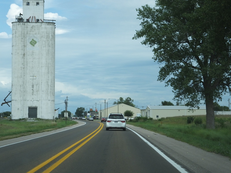
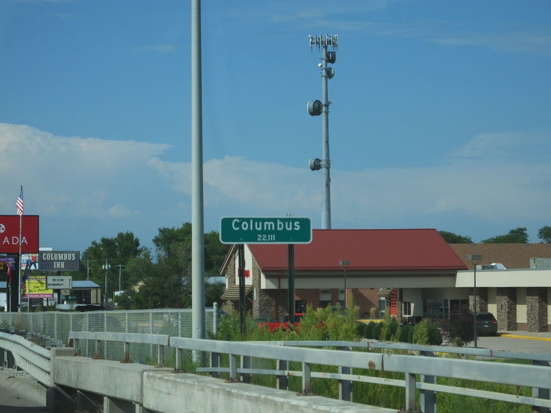
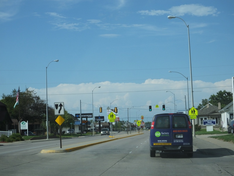
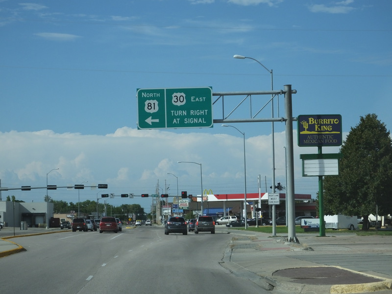
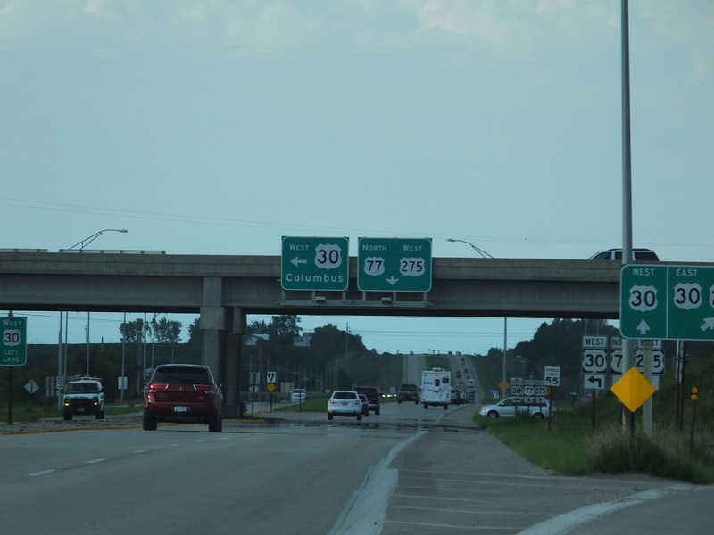
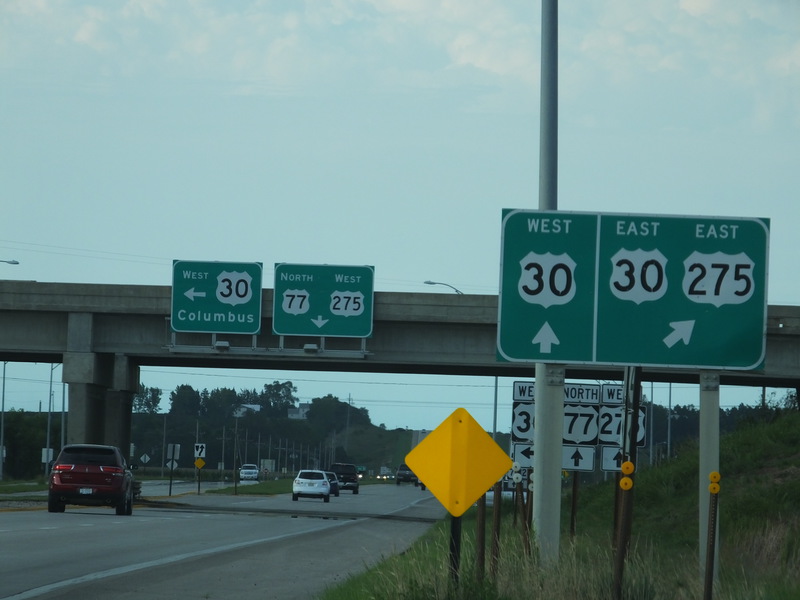
Coming up on Columbus, where we hit more traffic slowdowns. [Crop/Zoom: 919x791]
![[Crop/Zoom: 919x791]](DSCF0168-close.jpg)
[Crop/Zoom: 934x950]
![[Crop/Zoom: 934x950]](DSCF0169-close.jpg)
[Crop/Zoom: 1003x585]
![[Crop/Zoom: 1003x585]](DSCF0170-close.jpg)
[Larger: 2304x1728]
![[Larger: 2304x1728]](DSCF0171-2304.jpg)
[Crop/Zoom: 1238x894]
![[Crop/Zoom: 1238x894]](DSCF0172-close.jpg)
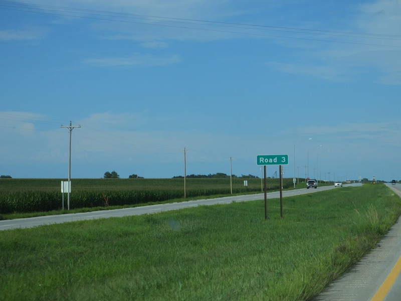
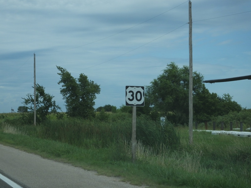
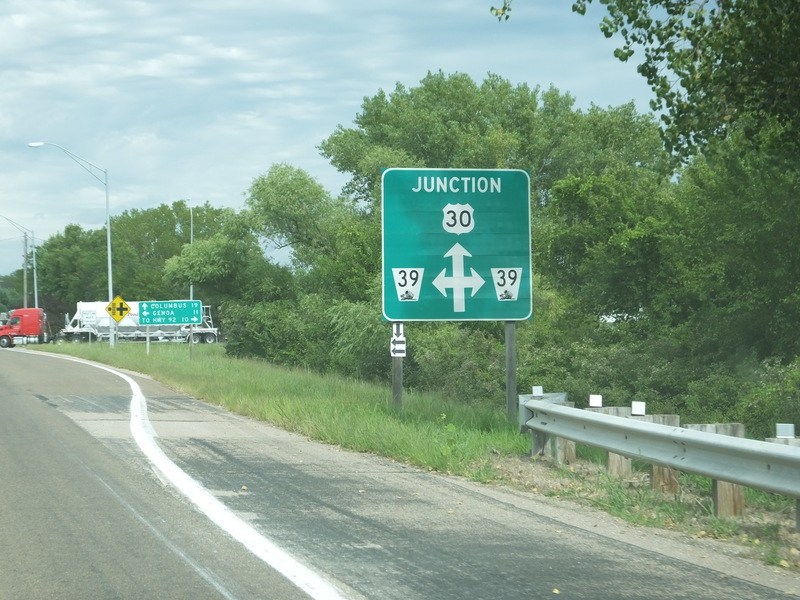
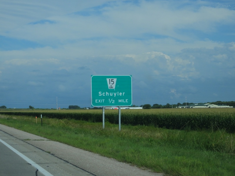
Roads are numbered east of Columbus. [Crop/Zoom: 515x303]
![[Crop/Zoom: 515x303]](DSCF0173-close.jpg)
[Crop/Zoom: 1023x821]
![[Crop/Zoom: 1023x821]](DSCF0174-close.jpg)
[Larger: 2304x1728]
![[Larger: 2304x1728]](DSCF0175-2304.jpg)
[Larger: 2304x1728]
![[Larger: 2304x1728]](DSCF0176-2304.jpg)
[Larger: 2304x1728]
![[Larger: 2304x1728]](DSCF0177-2304.jpg)
[Larger: 2304x1728]
![[Larger: 2304x1728]](DSCF0178-2304.jpg)
[Crop/Zoom: 754x1084]
![[Crop/Zoom: 754x1084]](DSCF0179-close.jpg)
[Crop/Zoom: 476x543]
![[Crop/Zoom: 476x543]](DSCF0180-close.jpg)
[Crop/Zoom: 572x635]
![[Crop/Zoom: 572x635]](DSCF0181-close.jpg)
[Crop/Zoom: 1550x1342]
![[Crop/Zoom: 1550x1342]](DSCF0182-close.jpg)
[Crop/Zoom: 1096x988]
![[Crop/Zoom: 1096x988]](DSCF0183-close.jpg)
[Crop/Zoom: 1213x671]
![[Crop/Zoom: 1213x671]](DSCF0184-close.jpg)
[Crop/Zoom: 3829x2234]
![[Crop/Zoom: 3829x2234]](DSCF0185-close.jpg)
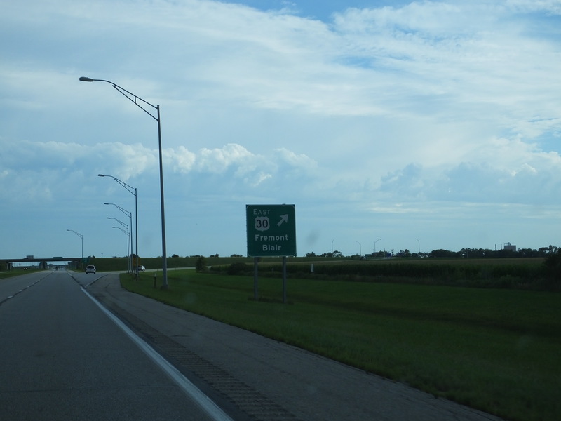
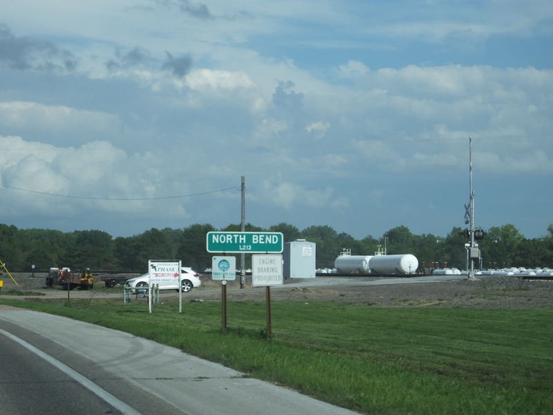
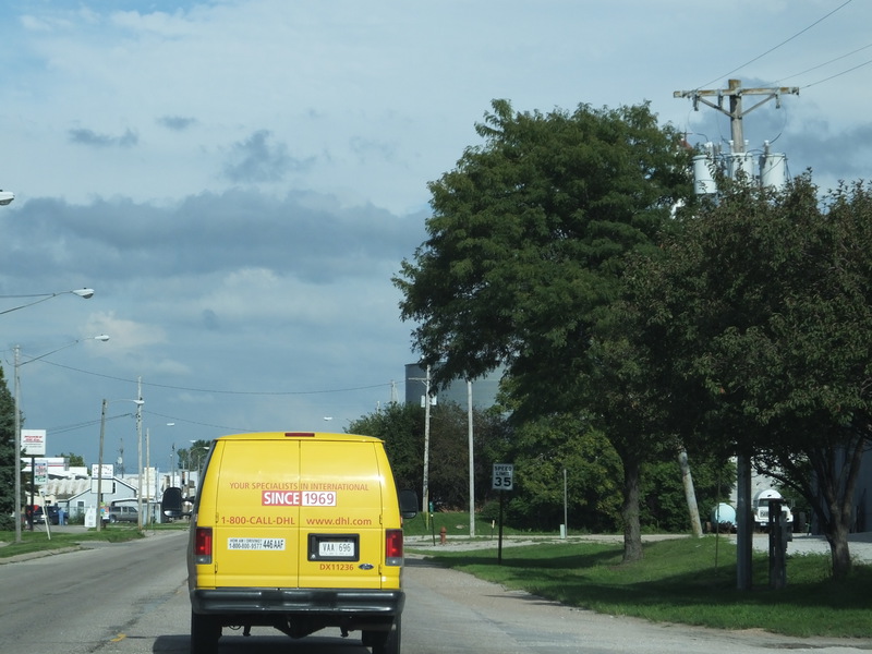
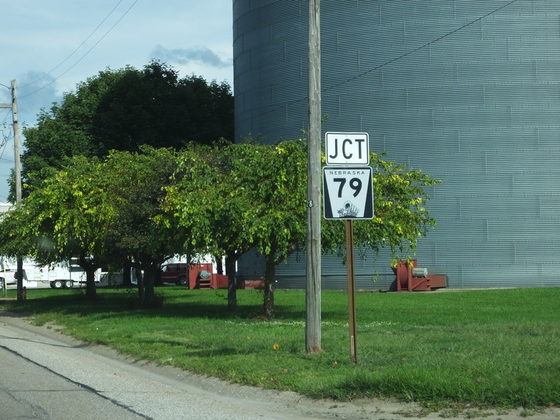
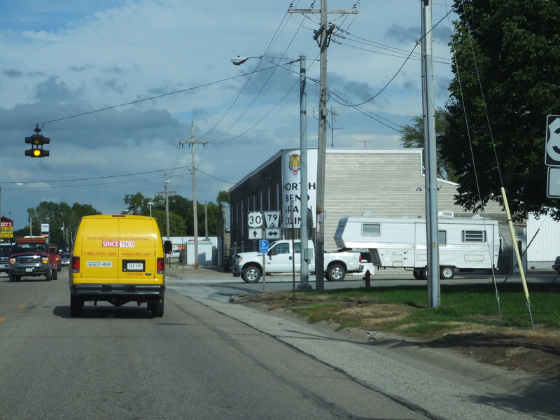
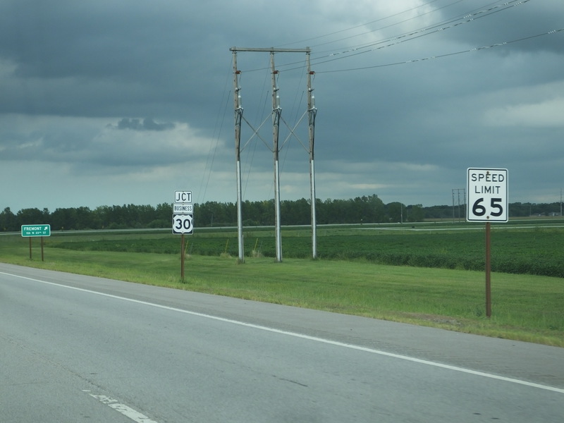
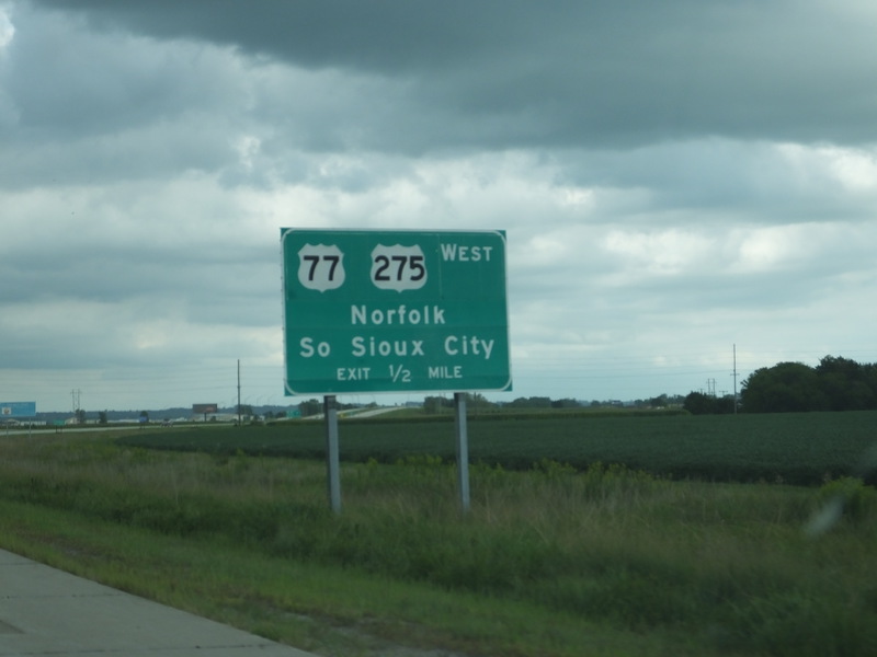
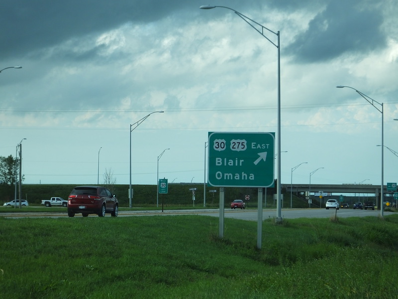
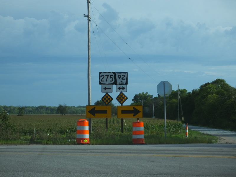
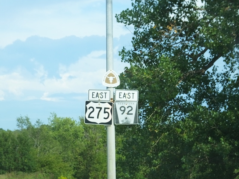
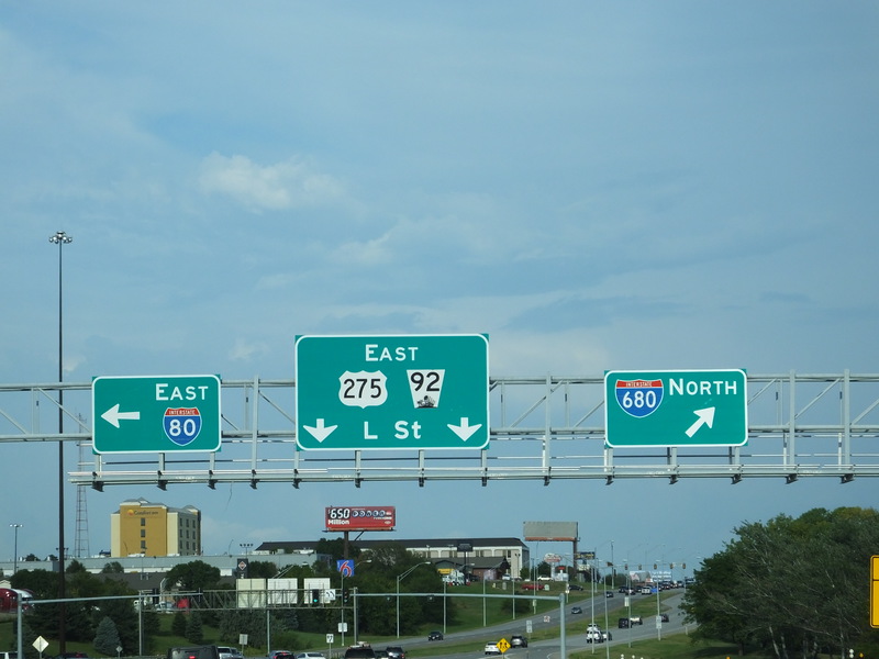
Coming up on the Fremont area. [Crop/Zoom: 813x715]
![[Crop/Zoom: 813x715]](DSCF0186-close.jpg)
[Crop/Zoom: 2474x1219]
![[Crop/Zoom: 2474x1219]](DSCF0189-close.jpg)
[Crop/Zoom: 588x604]
![[Crop/Zoom: 588x604]](DSCF0190-close.jpg)
[Crop/Zoom: 999x572]
![[Crop/Zoom: 999x572]](DSCF0191-close.jpg)
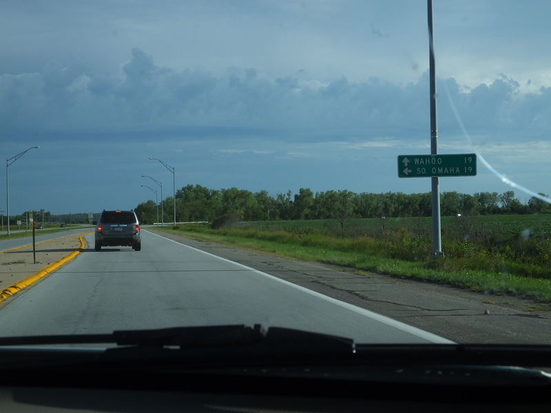
[Crop/Zoom: 863x759]
![[Crop/Zoom: 863x759]](DSCF0192-close.jpg)
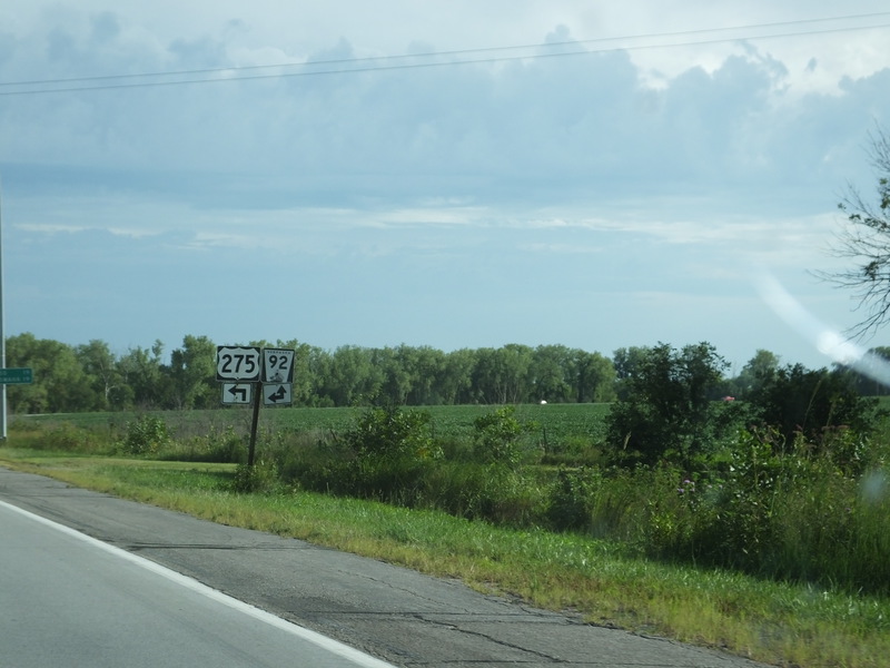
[Crop/Zoom: 968x965]
![[Crop/Zoom: 968x965]](DSCF0193-close.jpg)
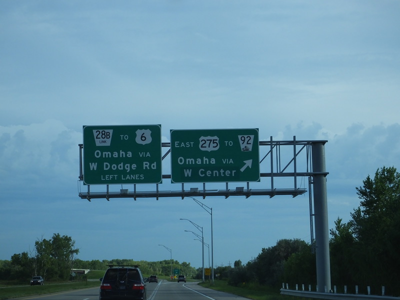
[Crop/Zoom: 3651x1005]
![[Crop/Zoom: 3651x1005]](DSCF0194-close.jpg)