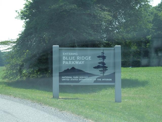
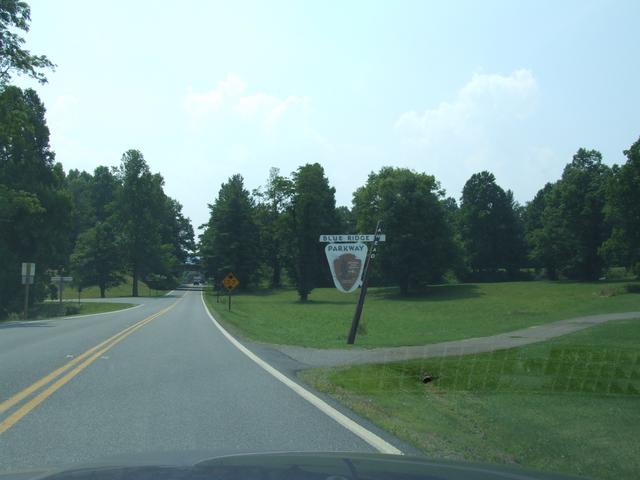
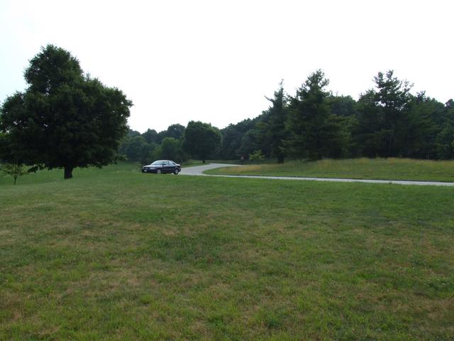
Entering.
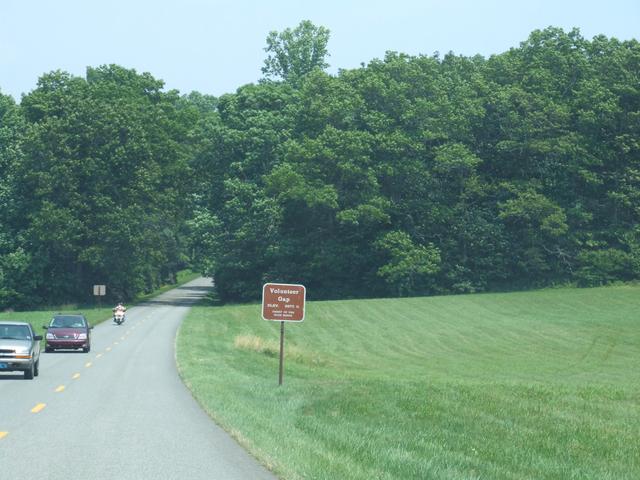
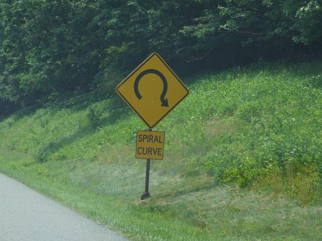
Starting north. [3488x2616]
[3488x2616]
[3488x2616]
[3488x2616]
[3488x2616]
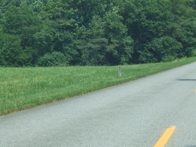
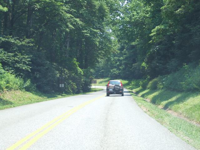
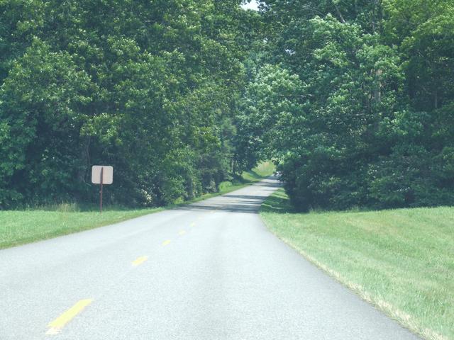
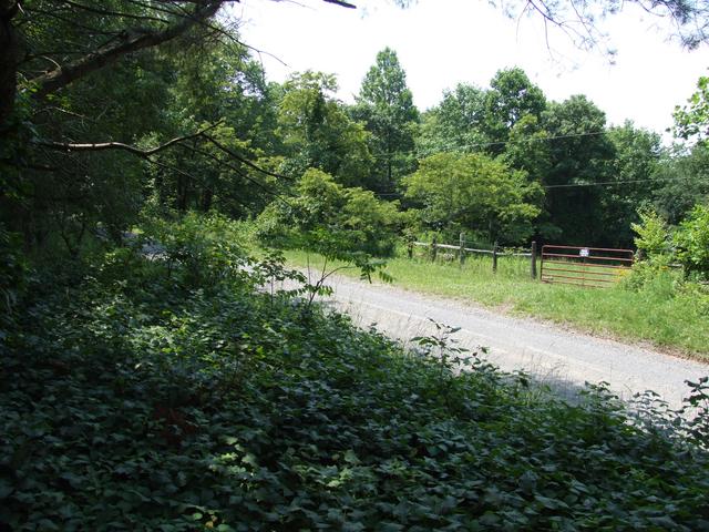
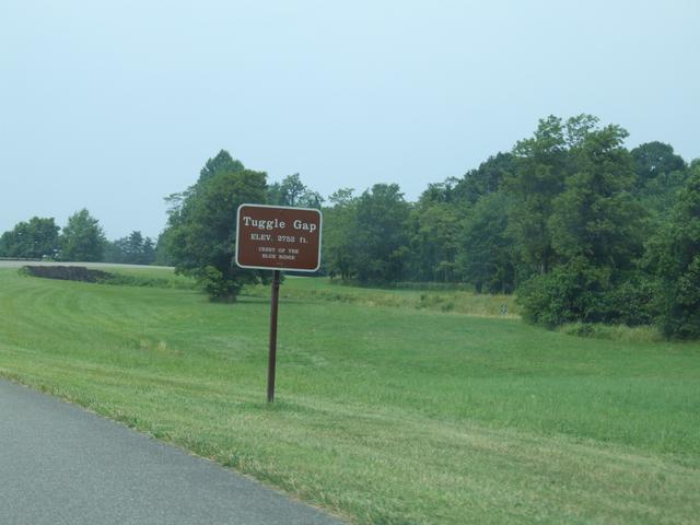
Mile 191. [3488x2616]
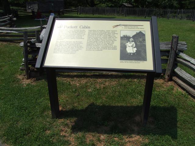
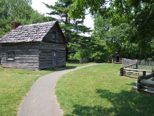
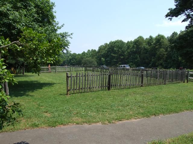
Quick stop at the Puckett Cabin. [Closer]
[3488x2616]
[3488x2616]
[3488x2616]
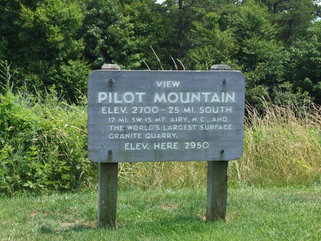
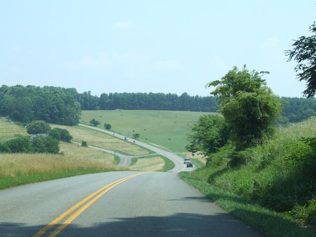
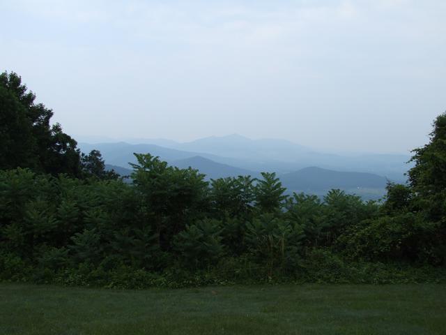
Next stop: Pilot Mountain.
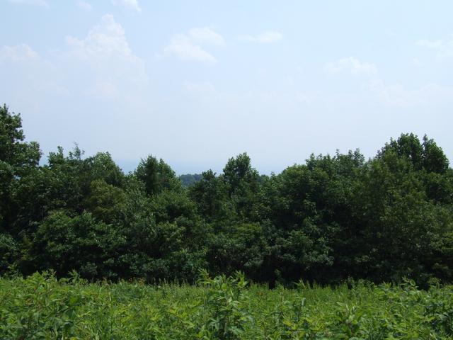
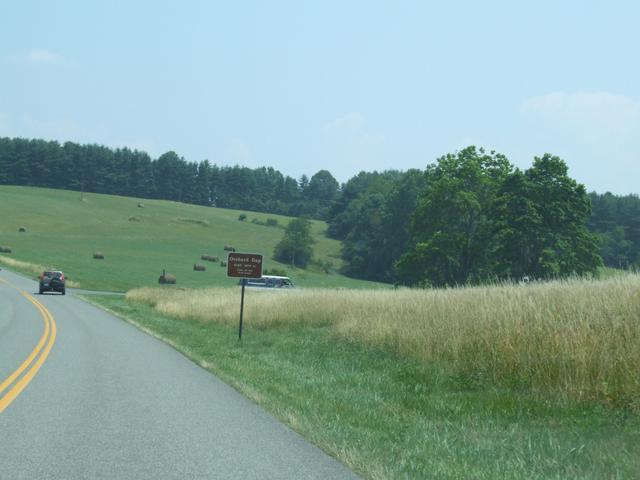
Not much to see on this hazy day. [3488x2616]
[3488x2616]
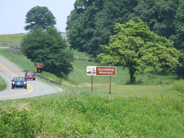
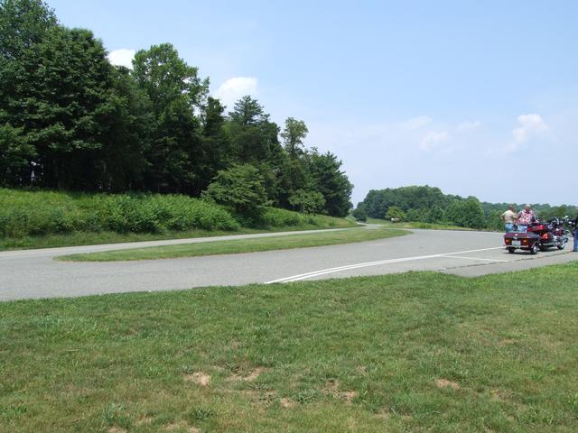
Ready to drive up Groundhog Mountain. [3488x2616]
[3488x2616]
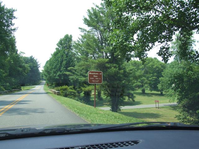
Getting back on after a quick stop at the Meadows of Dan. [3488x2616]
[3488x2616]
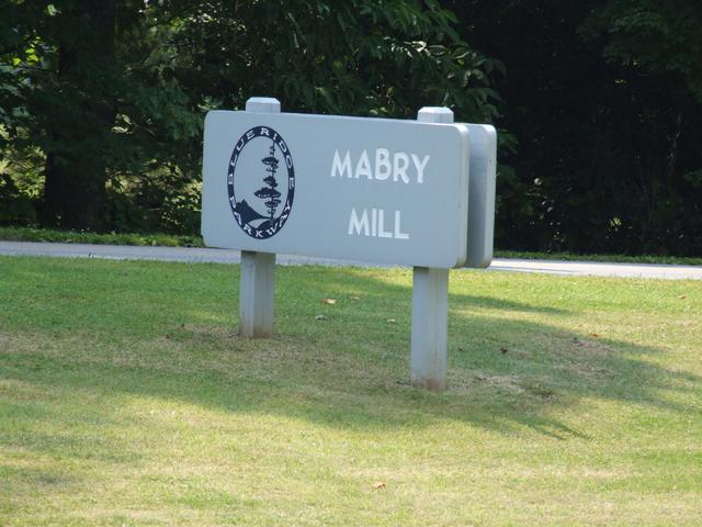
Lots of people at the Mabry Mill area.
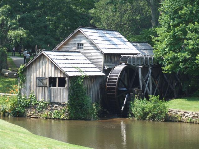
The mill. [3488x2616]
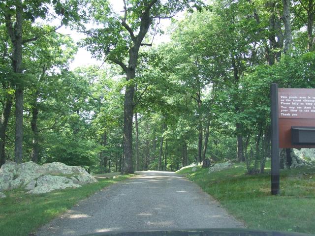
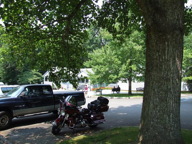
A loop through a neat picnic area. [3488x2616]
[3488x2616]
[3488x2616]
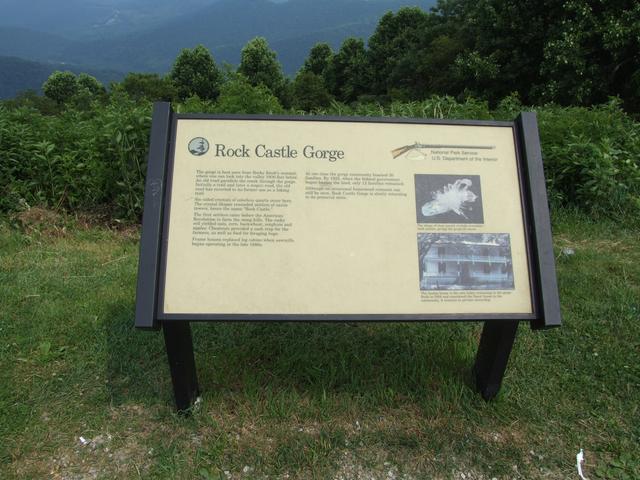
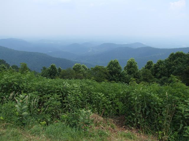
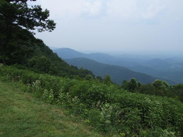
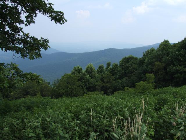
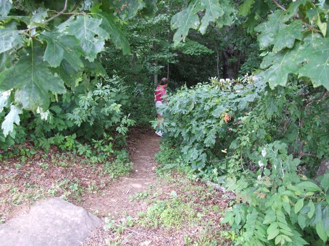
Next: Rock Castle Gorge. [Closer]
[3488x2616]
[3488x2616]
[3488x2616]
[3488x2616]
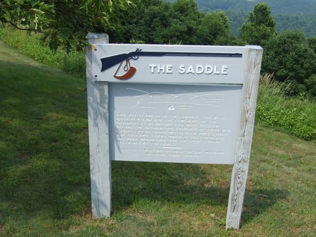
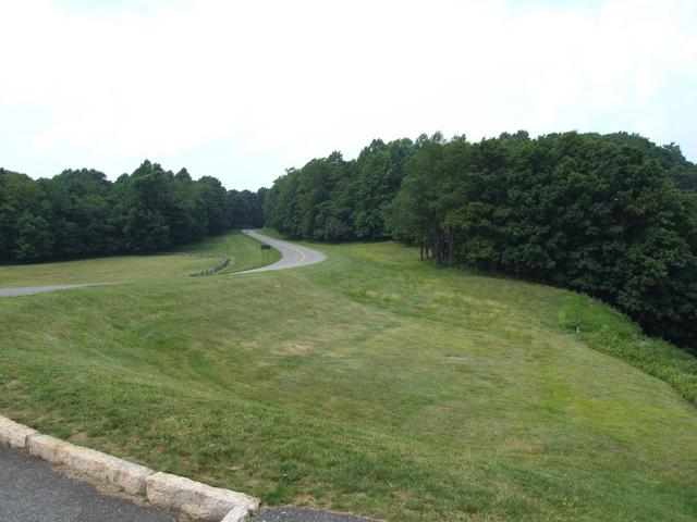
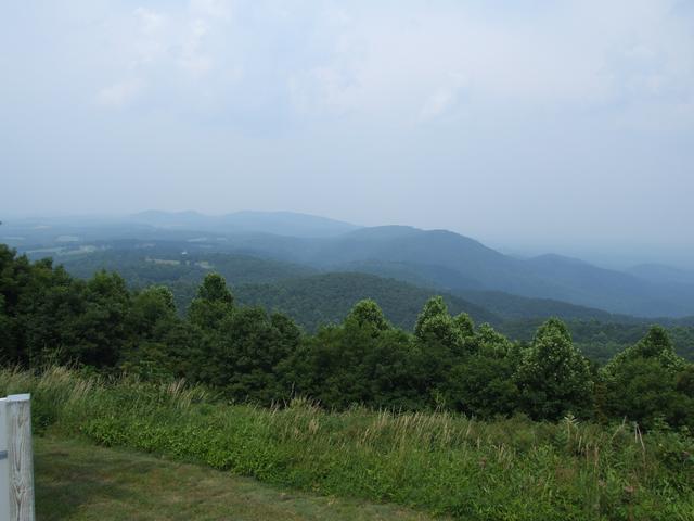
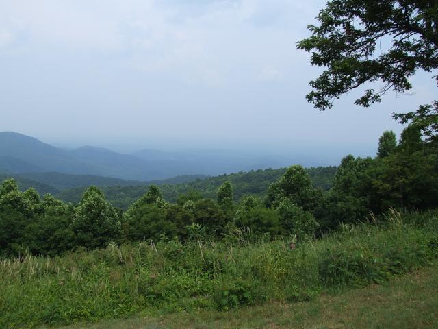
And the Saddle. [Closer]
[3488x2616]
[3488x2616]
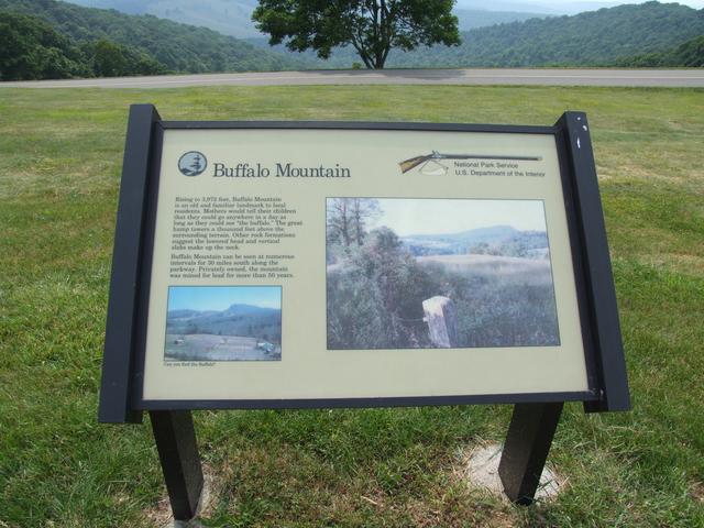
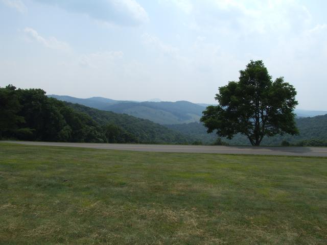
On to Buffalo Mountain. [Closer]
[3488x2616]
[3488x2616]
[3488x2616]
[3488x2616]
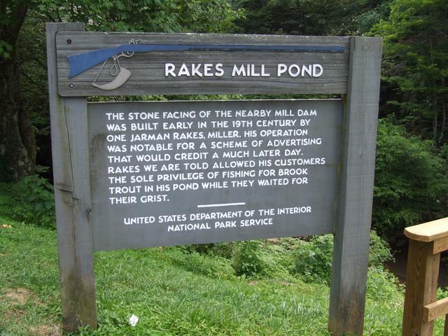
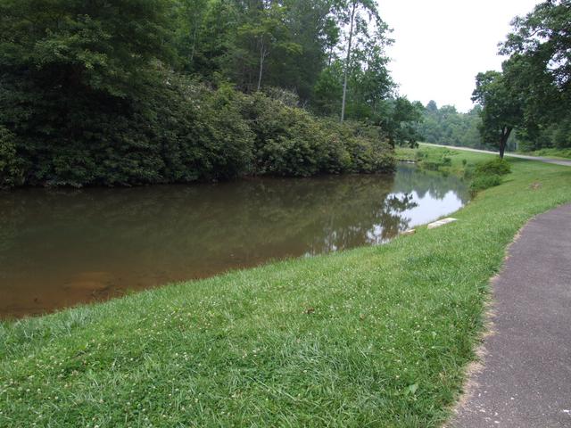
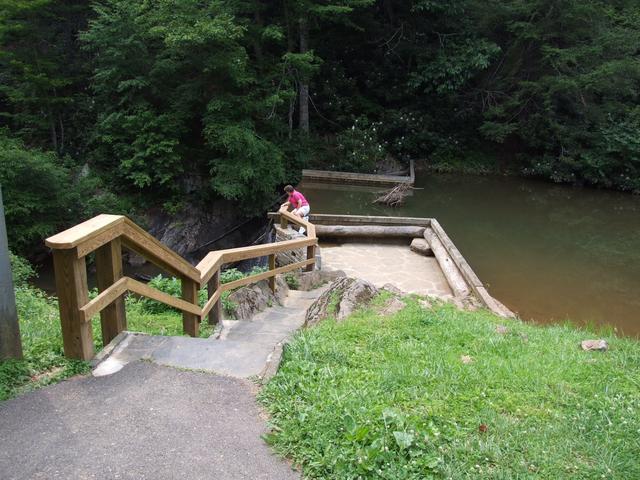
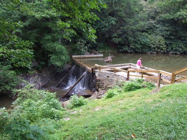
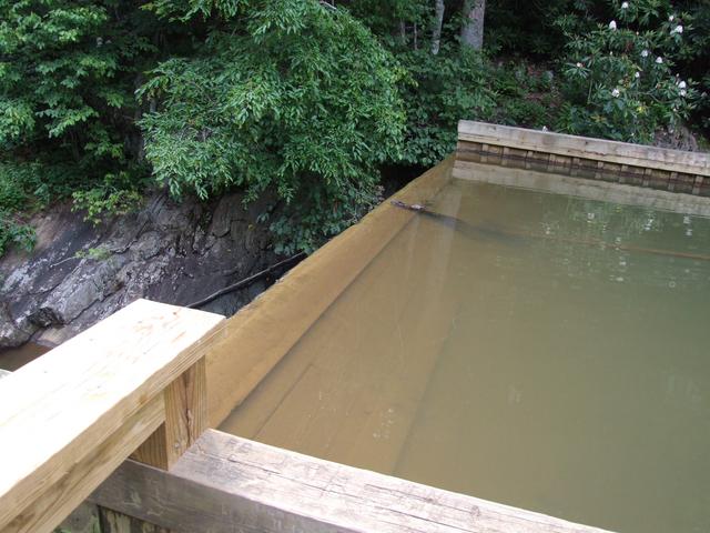
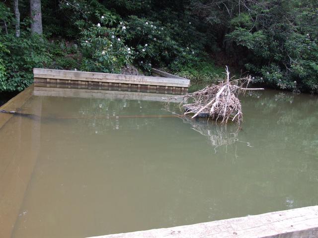
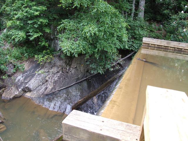
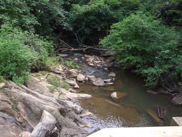
Brief stop at Rakes Mill Pond.
[3488x2616]
[3488x2616]
[3488x2616]
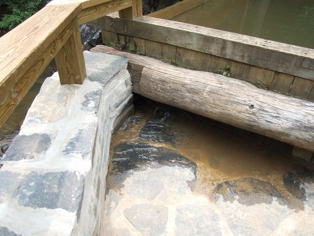
A little leaky. [3488x2616]
[3488x2616]
[3488x2616]
[3488x2616]
[3488x2616]
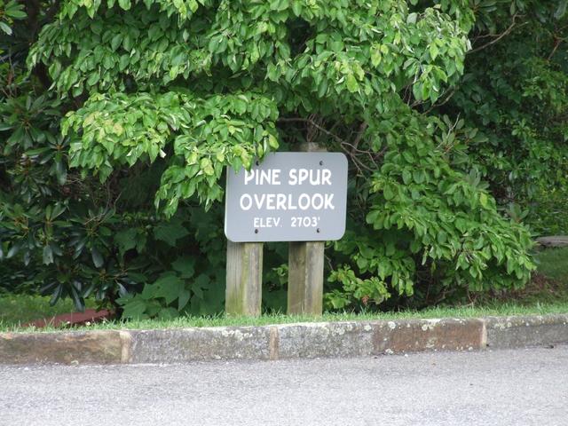
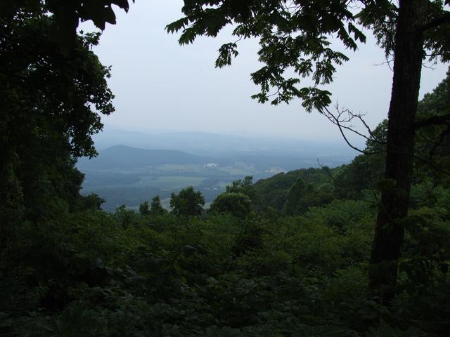
Pine Spur overlook.
[3488x2616]
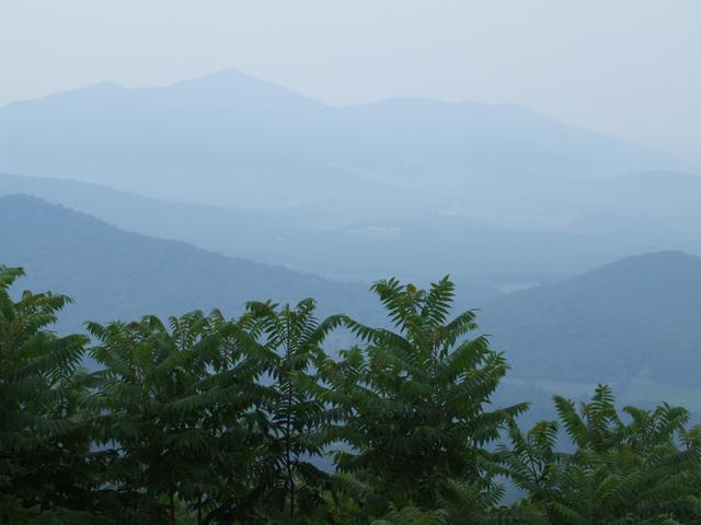
Too hazy on this day. [3488x2616]
[3488x2616]
[3488x2616]
[3488x2616]
[3488x2616]
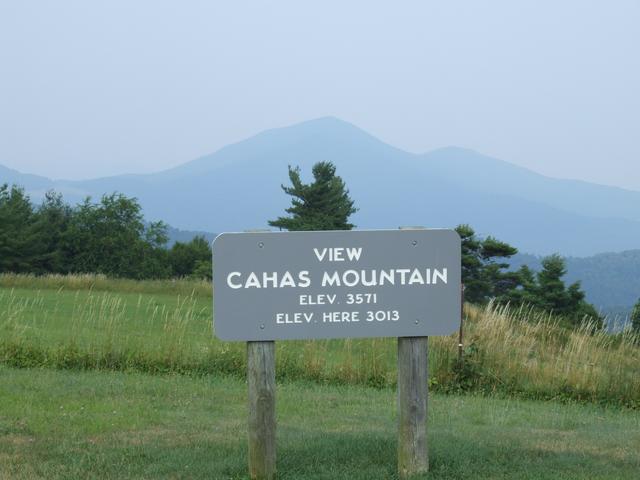
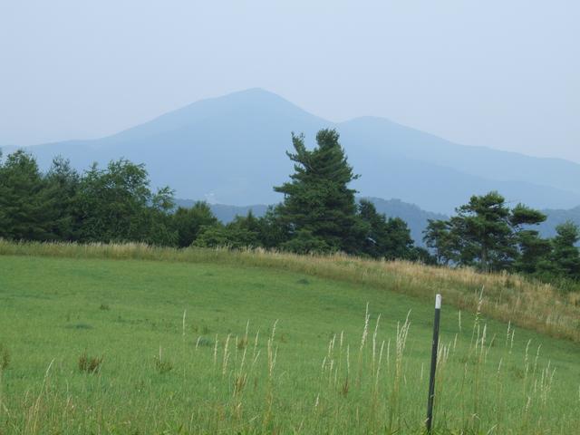
Cahas Mountain view. [3488x2616]
[3488x2616]
[3488x2616]
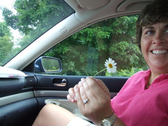
A daisy from this stop.
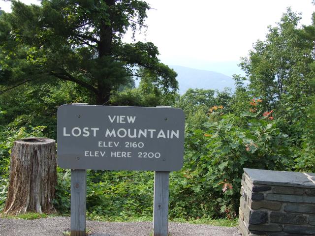
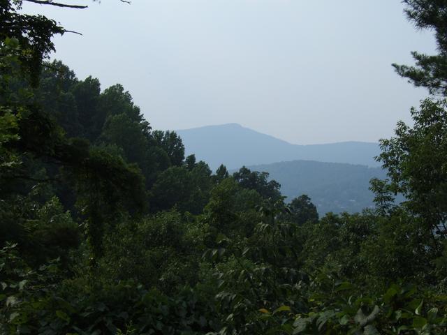
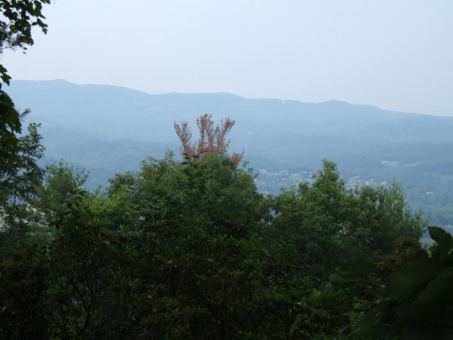
Lost Mountain view.
[3488x2616]
[3488x2616]
[3488x2616]
[3488x2616]
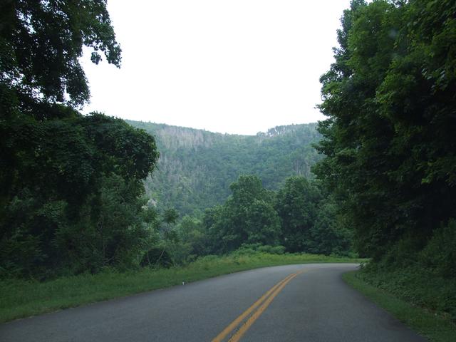
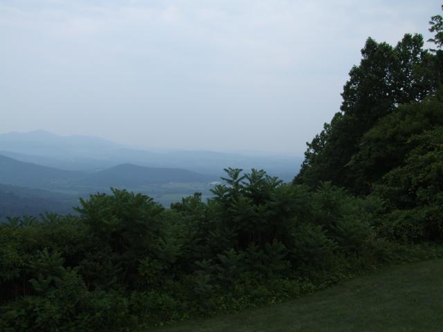
Winding our way down toward Roanoke. [3488x2616]
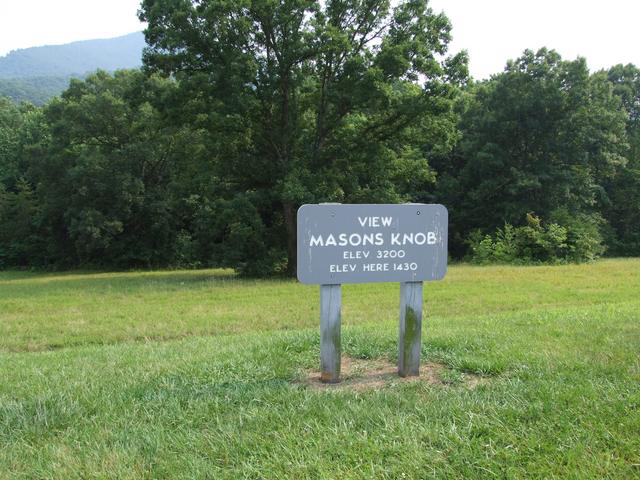
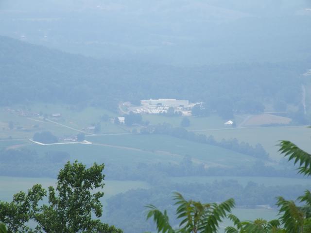
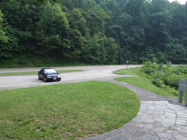
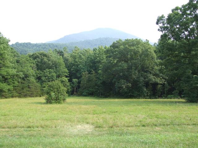
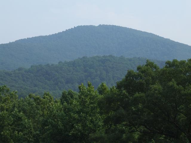
Masons Knob view.
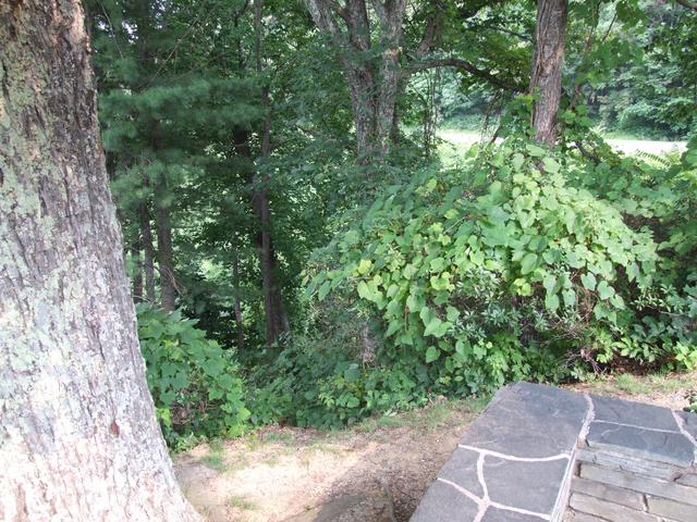
[3488x2616]
[3488x2616]