Flood Aftermath in Montgomery County, New York - October 15, 2011
These pictures were taken with my Fujifilm Finepix S9000 digital
camera in Montgomery County, New York, on October 15, 2011, several
weeks after the area was hit with historic flooding of the Schoharie
Creek and Mohawk River. Images are shown at a resolution of 640x480,
but many are available cropped from the originals or in half of
original size by clicking on the links after the captions.
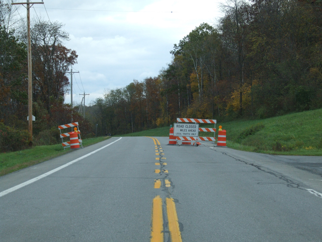
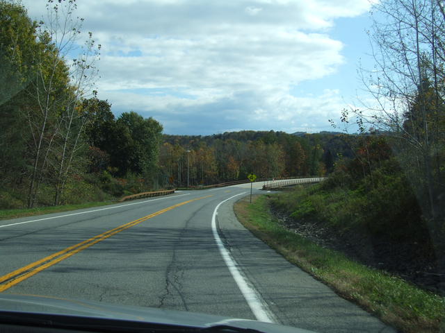
New York 5S East near Auriesville.
[Larger: 1744x1308]
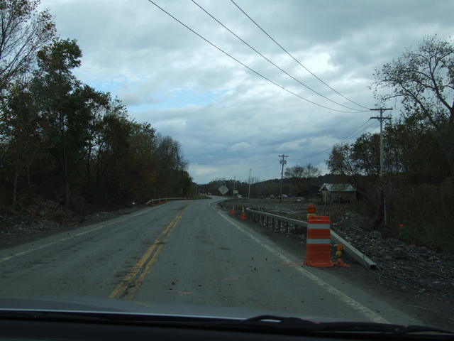
We continue along to see the destruction.
[Larger: 1744x1308]
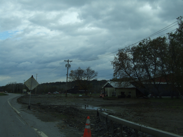
This was the Pines farm stand.
[Larger: 1744x1308]
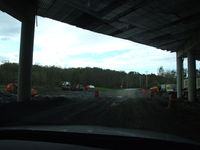
Lots of damage where the Thruway passes over 5S. The Schoharie Creek
used this as another way past the Thruway.
[Larger: 1744x1308]

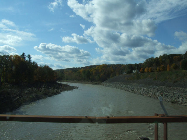
The high water mark is very apparent.
[Larger: 1744x1308]
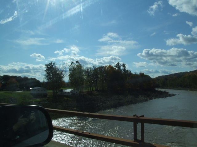
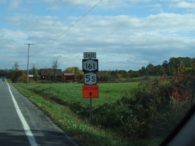
NY 161 approaching the Schoharie Creek.
[Larger: 1744x1308]

[Larger: 1744x1308]
[Larger: 1744x1308]
[Larger: 1744x1308]
[Crop/Zoom: 463x1035]
E-mail domain: teresco.org, username: terescoj -
Fri Nov 25 21:46:46 EST 2011
Copyright notice: All images are copyright © James D. Teresco unless otherwise specified. Unauthorized use is prohibited.