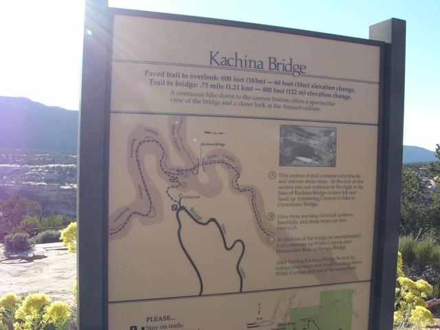
The trail description. 3/4 mile, with a 400 ft. elevation change. [2048x1536]
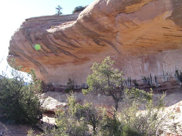
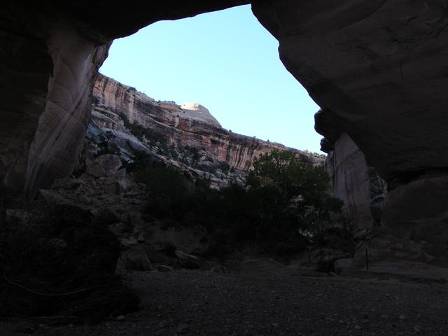
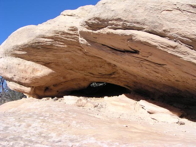
I decided to go just a little way down the trail. Here, the trail goes under this rock. [2048x1536]
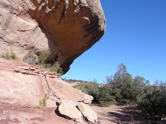
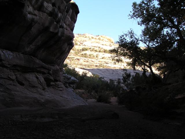
Looking back after passing that section. [2048x1536]
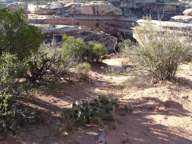
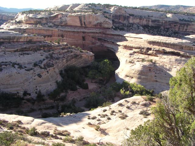
From here, a view of the bridge and a cactus. [2048x1536]
Another view just a little way down the trail. At this point, I decided to go for just 5 more minutes then turn back. [2048x1536]
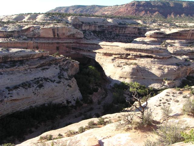
Looking at the canyon wall. [2048x1536]
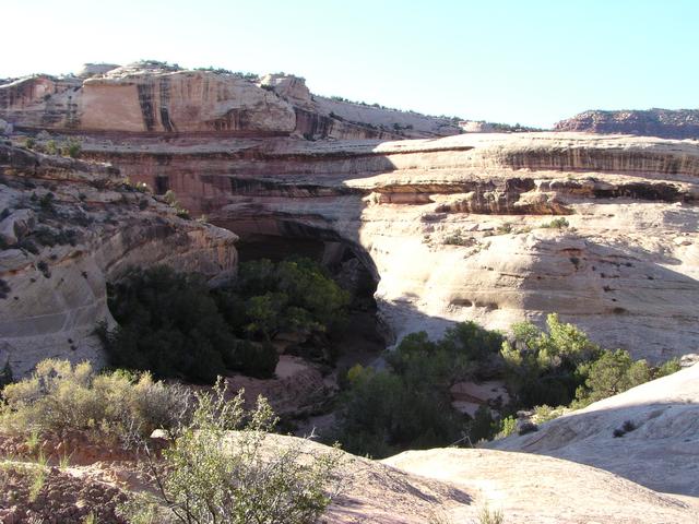
A little further down and a closer look. [2048x1536]
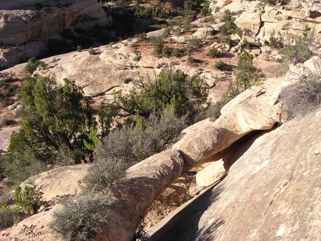
An interesting rock formation along the trail. [2048x1536]
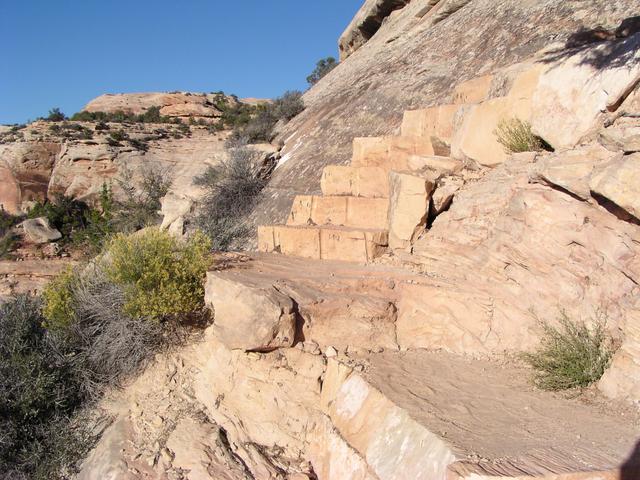
The trail does take some work. There are several sections with stairs cut from rocks like this. [2048x1536]
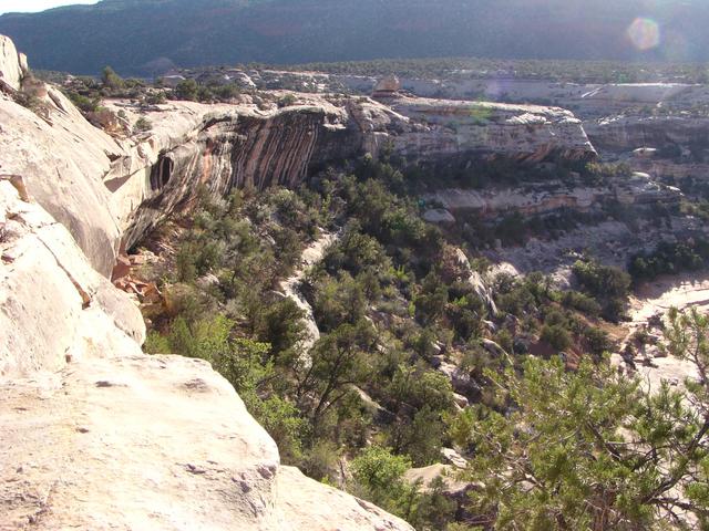
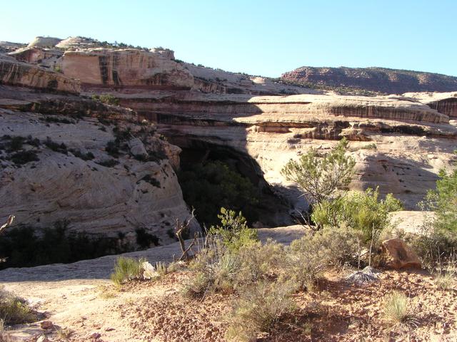
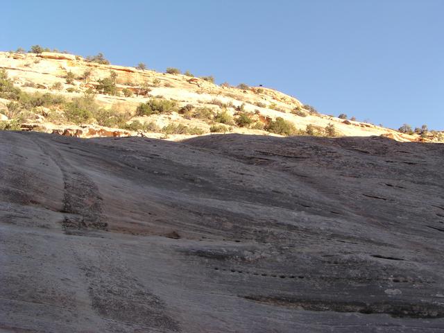
The views keep getting better, so I keep going. [2048x1536]
[2048x1536]
[2048x1536]
If I'm this far down, how could I not go the rest of the way? [2048x1536]
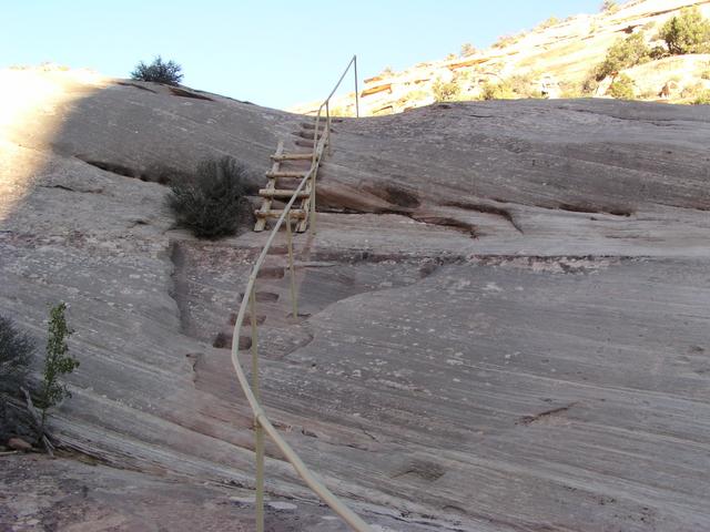
The bottom of the trail includes this steep section, including a short ladder. [2048x1536]
Somehow I'm going to have to get back up there. [2048x1536]
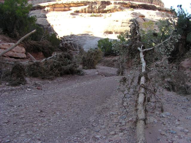
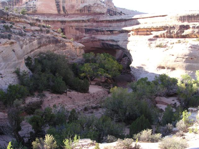
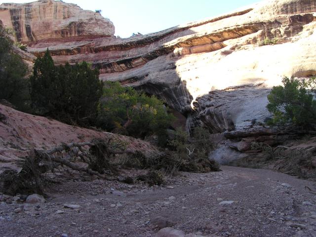
Made it to the canyon floor. It looks like there was a flood in here not that long ago. [2048x1536]
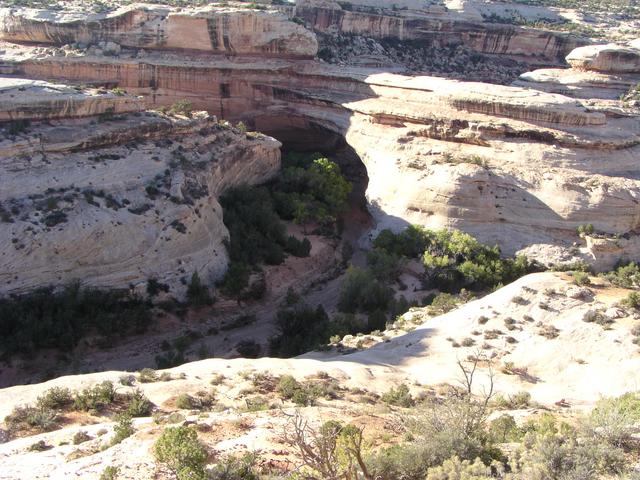
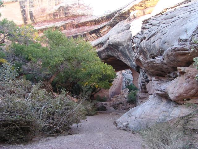
Getting to the bridge. [2048x1536]
[2048x1536]
Made it. [2048x1536]
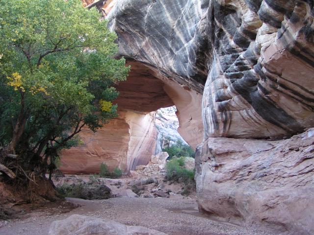
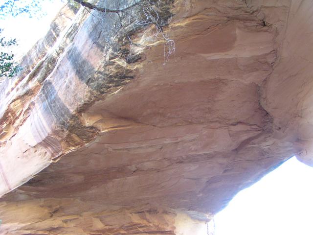
Under the bridge. [2048x1536]
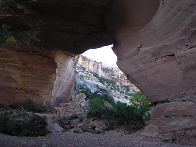
Looking through. [2048x1536]
Looking up at the bridge. [2048x1536]
Yes, I have to get back up there. [2048x1536]
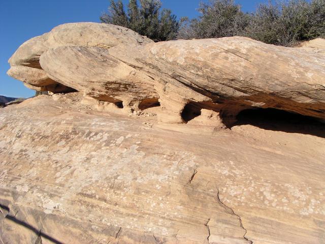
On the way up, near the top, there are some interesting formations. [2048x1536]
This hole goes all the way through. [2048x1536]