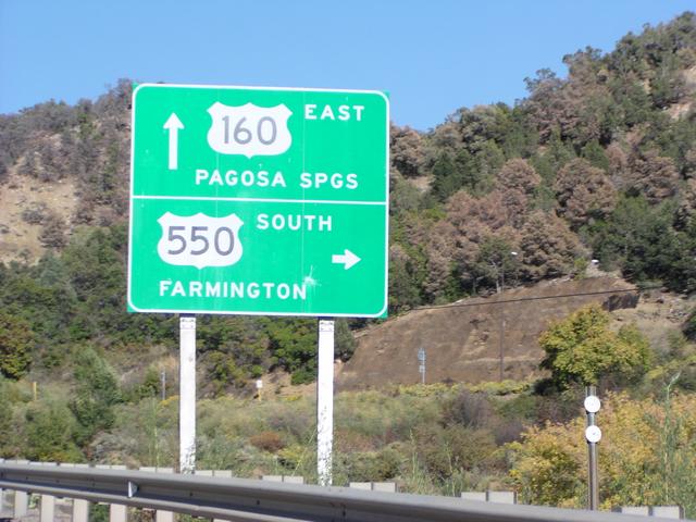
Leaving US 160 and headed south on US 550. [2048x1536]
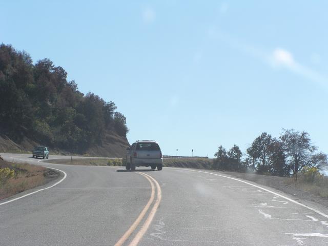
It starts with a climb out of the Animas Valley. [2048x1536]
This is right near the Colorado-New Mexico border, which was unmarked in this direction. I only knew because the mile markers had gone down to 0 and there was the familiar "Colorful Colorado" sign on the northbound side. [2048x1536]
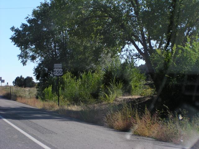
I think this is in Aztec, New Mexico. [2048x1536]
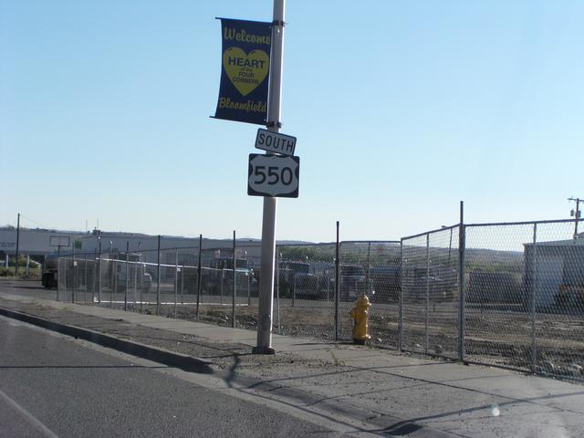
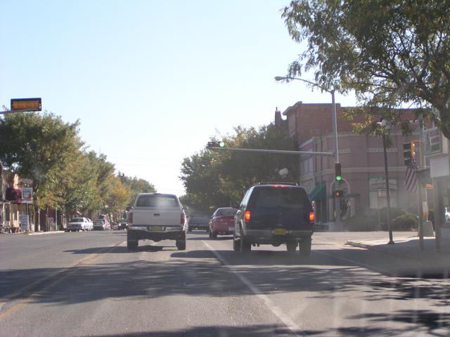
Leaving Bloomfield. [2048x1536]
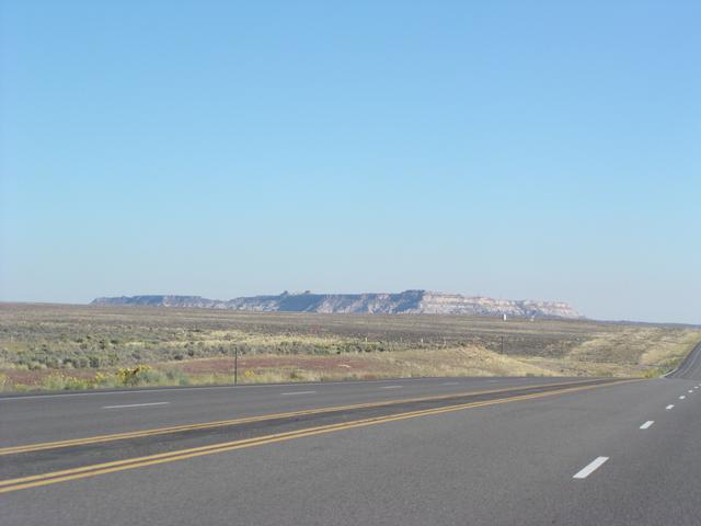
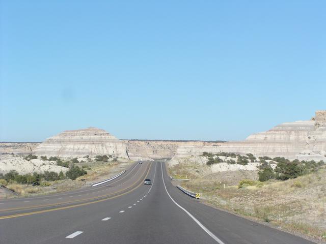
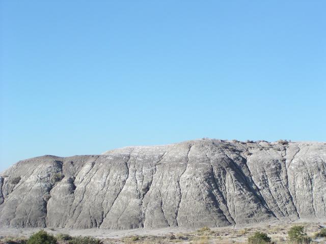
Coming up on Angel Peak. [2048x1536]
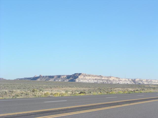
More Angel Peak. [2048x1536]
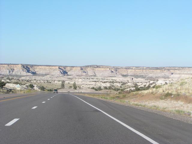
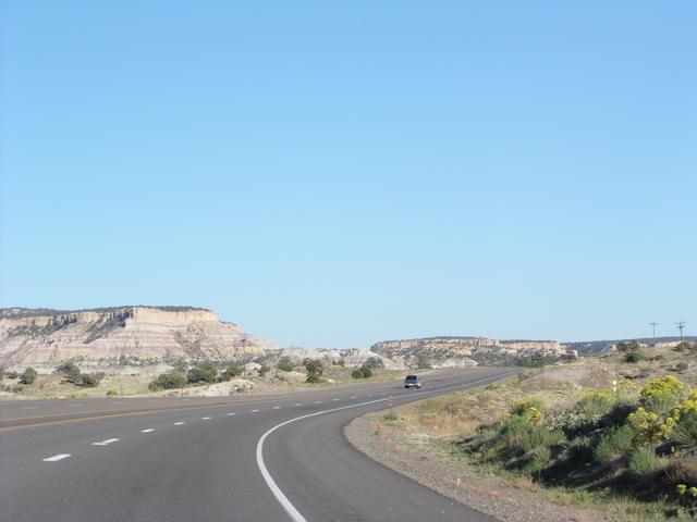
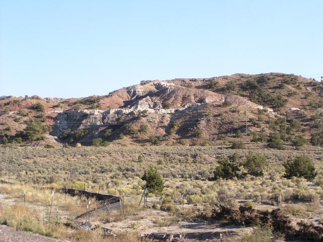
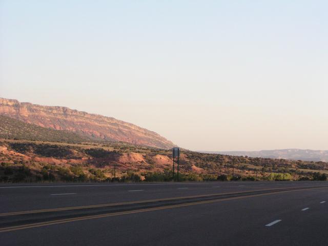
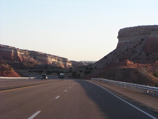
Continuing south on US 550 through some more great scenery. I suppose people from here just don't bother visiting places like Badlands National Park. [2048x1536]
[2048x1536]
[2048x1536]
[2048x1536]
[2048x1536]
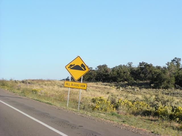
Most of the crests of hills had these signs. I don't think I've seen them anywhere else. [2048x1536]
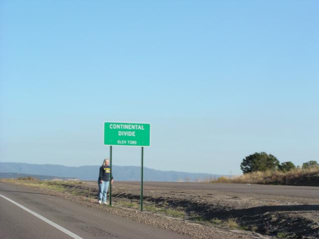
Some woman I don't know standing by the Continental Divide sign on US 550. [2048x1536]
[2048x1536]
[2048x1536]
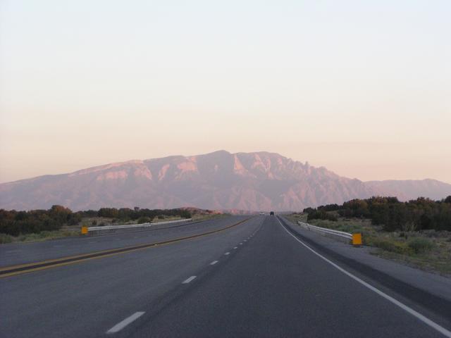
Almost to Albuquerque when you can see Sandia Peak. [2048x1536]