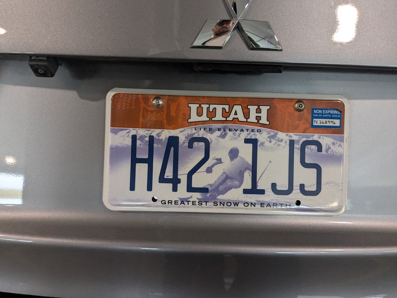
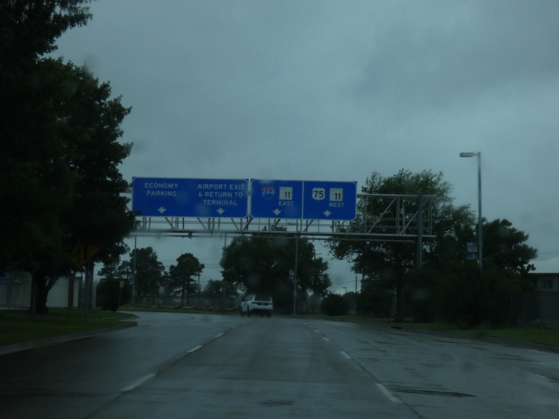
Got the car and leaving the airport. [Crop/Zoom: 2079x671]
![[Crop/Zoom: 2079x671]](P1130439-close.jpg)

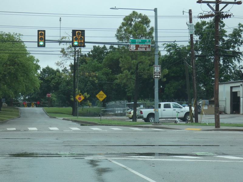
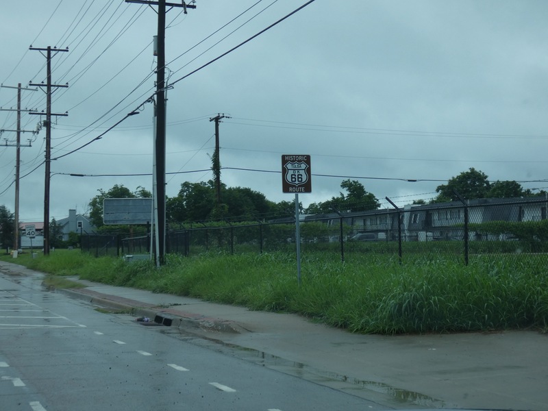
Almost right away, onto a Historic US 66 route in Tulsa. [Crop/Zoom: 911x1226]
![[Crop/Zoom: 911x1226]](P1130440-close.jpg)
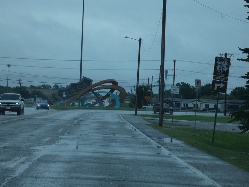
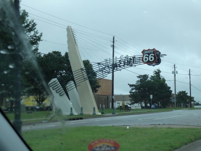
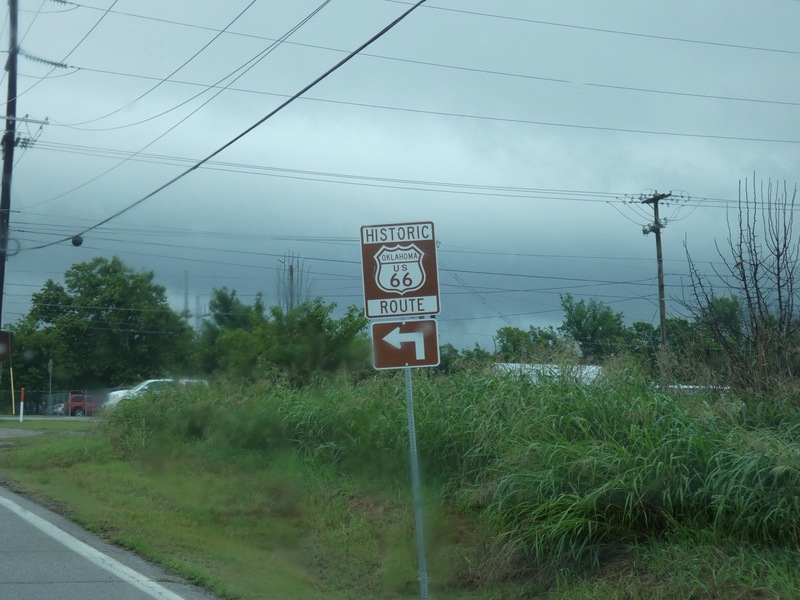
They are very much into the US 66 in Tulsa. [Crop/Zoom: 3747x1454]
![[Crop/Zoom: 3747x1454]](P1130441-close.jpg)
[Crop/Zoom: 1184x1194]
![[Crop/Zoom: 1184x1194]](P1130442-close.jpg)
[Crop/Zoom: 716x738]
![[Crop/Zoom: 716x738]](P1130443-close.jpg)
[Crop/Zoom: 3091x2359]
![[Crop/Zoom: 3091x2359]](P1130444-close.jpg)
[Crop/Zoom: 711x1401]
![[Crop/Zoom: 711x1401]](P1130445-close.jpg)
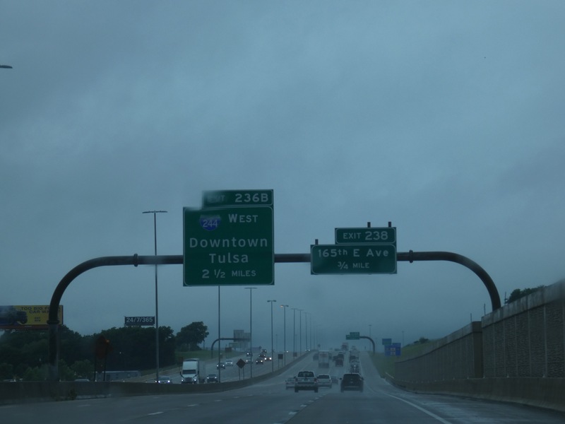
Now starting my big afternoon loop. [Crop/Zoom: 2333x1136]
![[Crop/Zoom: 2333x1136]](P1130446-close.jpg)
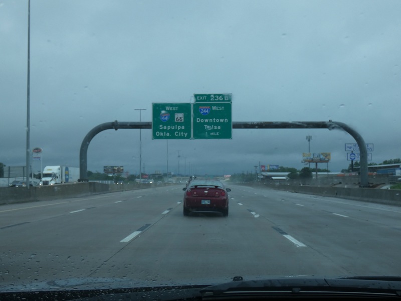
First drive on I-244 first. [Crop/Zoom: 1336x991]
![[Crop/Zoom: 1336x991]](P1130447-close.jpg)
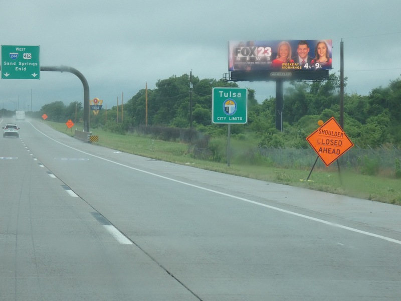
[Crop/Zoom: 826x862]
![[Crop/Zoom: 826x862]](P1130448-close.jpg)
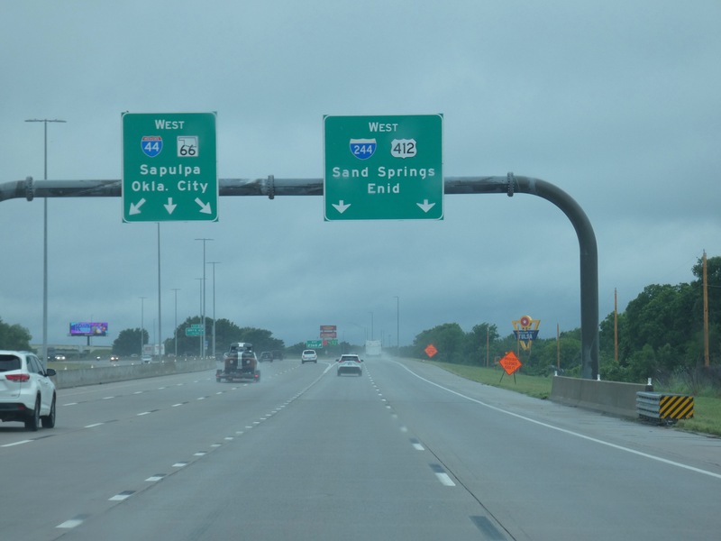
[Crop/Zoom: 2463x1113]
![[Crop/Zoom: 2463x1113]](P1130449-close.jpg)
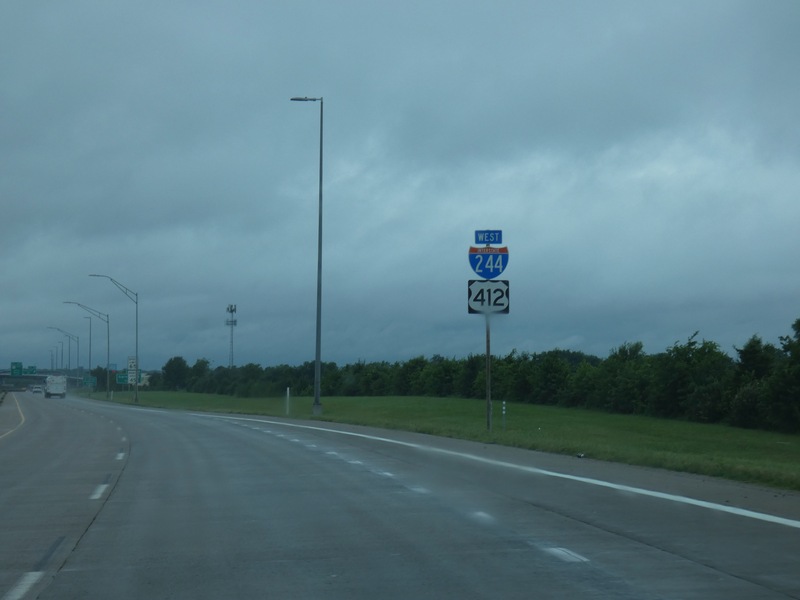
[Crop/Zoom: 636x819]
![[Crop/Zoom: 636x819]](P1130450-close.jpg)
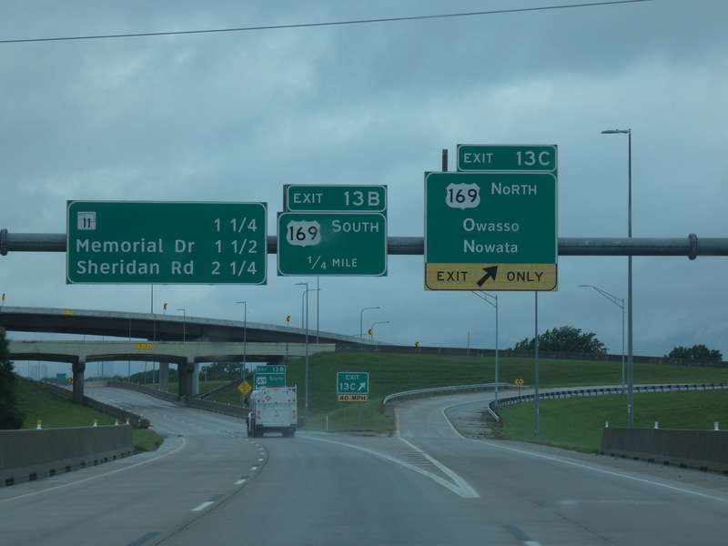
Heading toward downtown Tulsa. [Crop/Zoom: 3623x1241]
![[Crop/Zoom: 3623x1241]](P1130451-close.jpg)
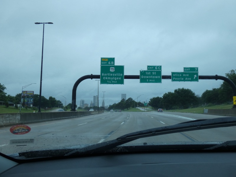
[Crop/Zoom: 2300x827]
![[Crop/Zoom: 2300x827]](P1130452-close.jpg)
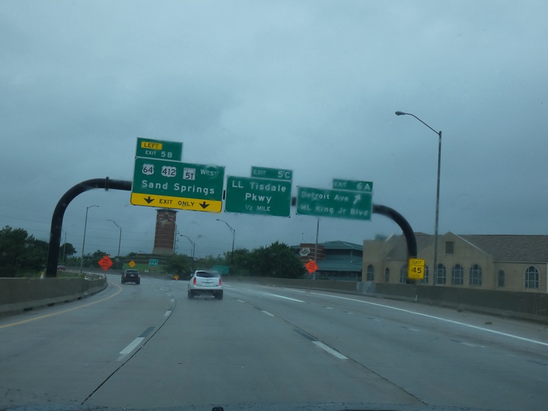
Next, the hidden I-444. [Crop/Zoom: 2440x1030]
![[Crop/Zoom: 2440x1030]](P1130455-close.jpg)
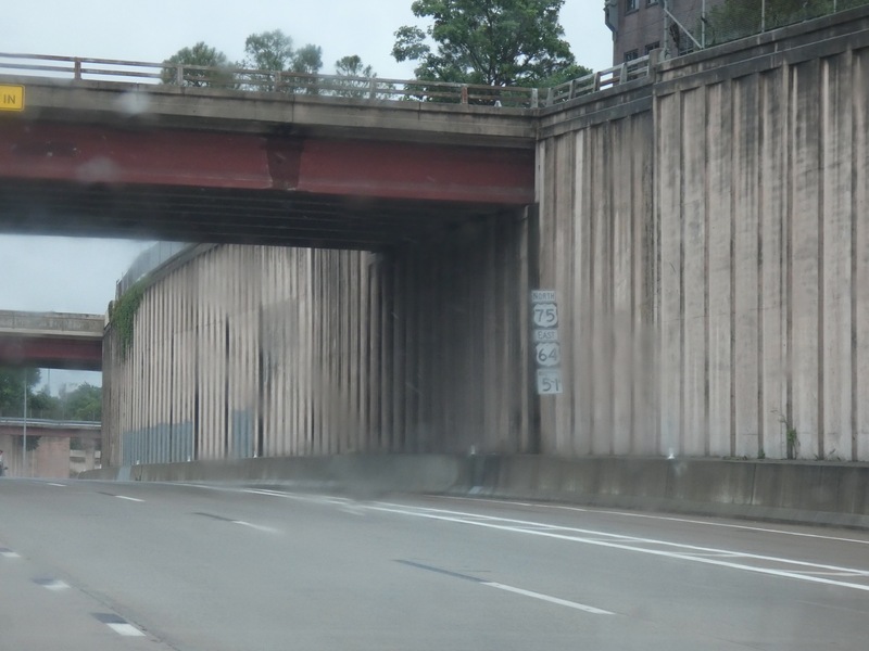
[Crop/Zoom: 464x878]
![[Crop/Zoom: 464x878]](P1130458-close.jpg)
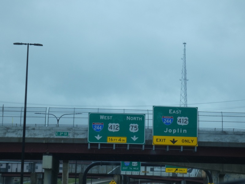
There wasn't much to it. [Crop/Zoom: 2669x1414]
![[Crop/Zoom: 2669x1414]](P1130459-close.jpg)
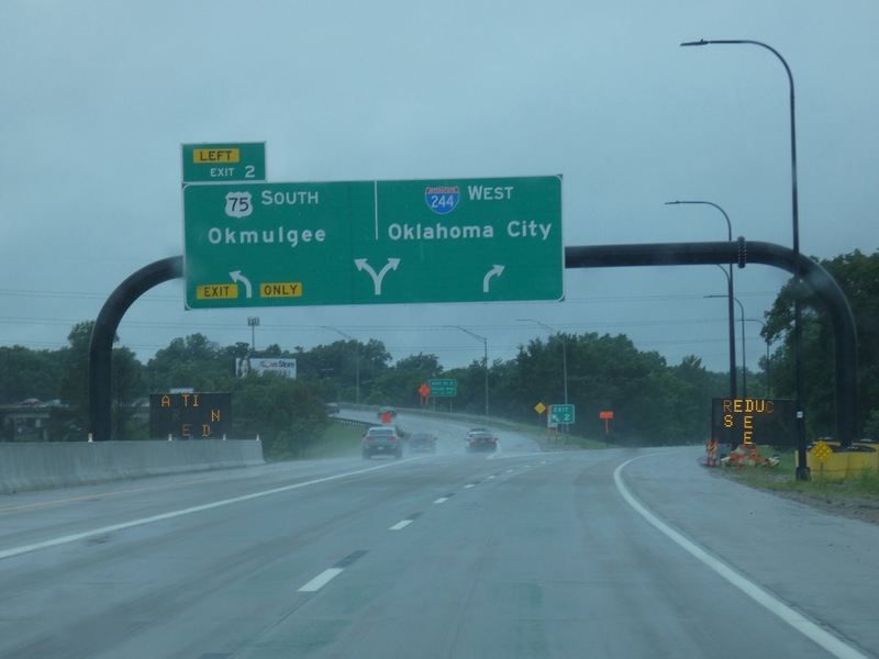
[Crop/Zoom: 2405x1242]
![[Crop/Zoom: 2405x1242]](P1130460-close.jpg)
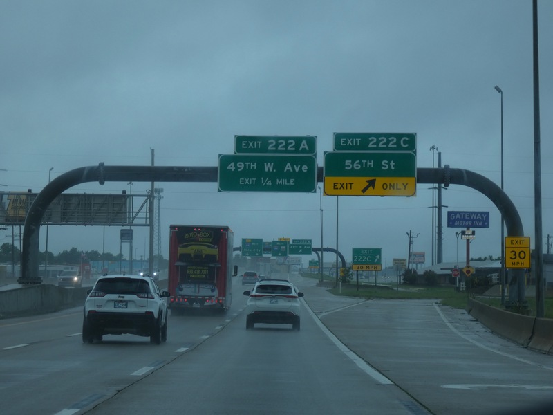
I wanted to get on the Gilcrease Turnpike, but couldn't from I-244, so I used this I-44 exit to turn around. [Crop/Zoom: 2148x902]
![[Crop/Zoom: 2148x902]](P1130461-close.jpg)
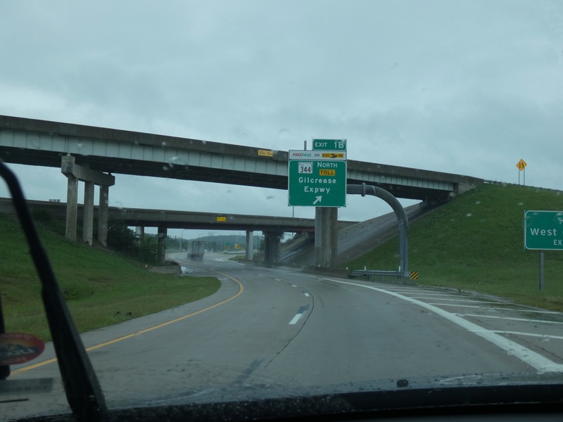
Can get on from eastbound I-44. [Crop/Zoom: 763x797]
![[Crop/Zoom: 763x797]](P1130463-close.jpg)
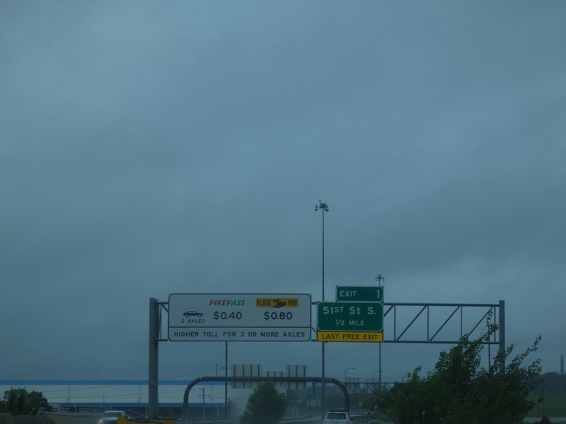
It's a toll road. [Crop/Zoom: 2086x826]
![[Crop/Zoom: 2086x826]](P1130464-close.jpg)
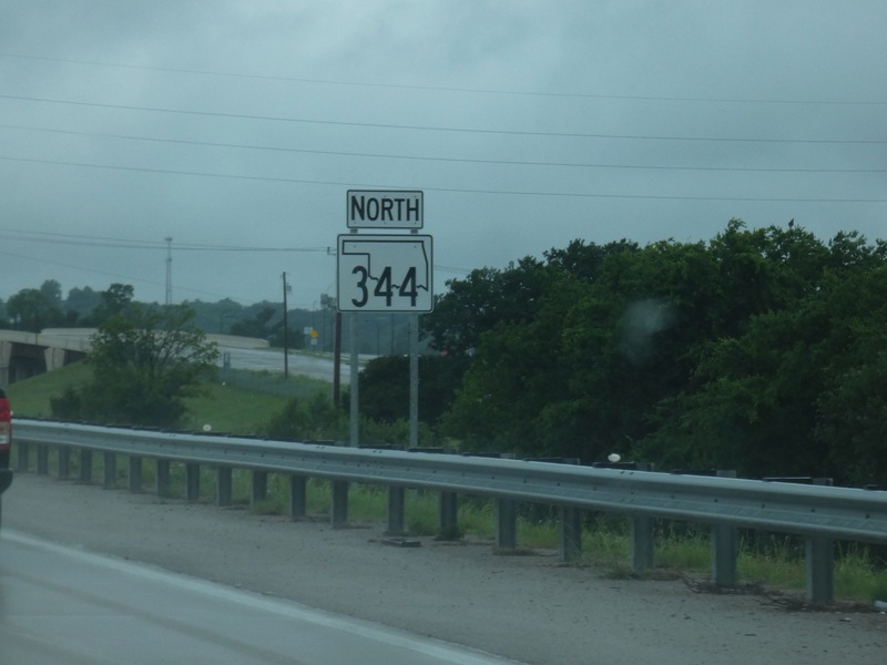
[Crop/Zoom: 865x999]
![[Crop/Zoom: 865x999]](P1130466-close.jpg)
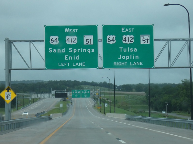
Next, taking US 412 west. [Crop/Zoom: 3077x1426]
![[Crop/Zoom: 3077x1426]](P1130468-close.jpg)
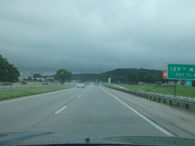
Heading toward this thunderstorm. The rain was torrential and my phone got flood warning alerts. [Larger: 2448x1836]
![[Larger: 2448x1836]](P1130469-2448.jpg)
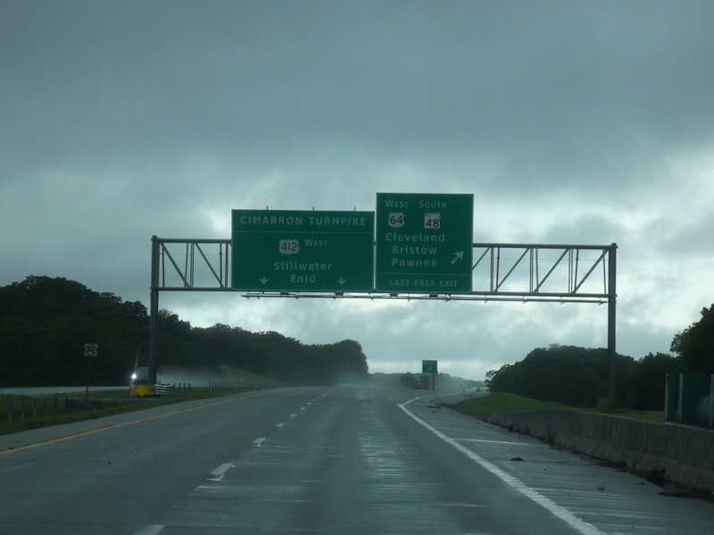
After the storm, US 412 splits off from US 64. I'm headed toward Stillwater first. [Crop/Zoom: 1933x1055]
![[Crop/Zoom: 1933x1055]](P1130470-close.jpg)
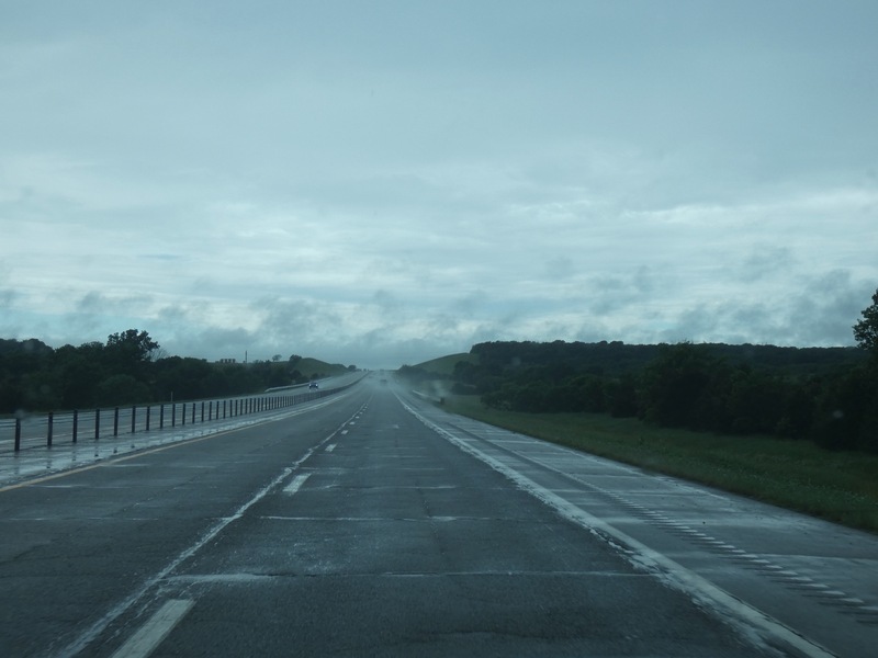
This is what the Cimarron Turnpike looks like. [Larger: 2448x1836]
![[Larger: 2448x1836]](P1130473-2448.jpg)
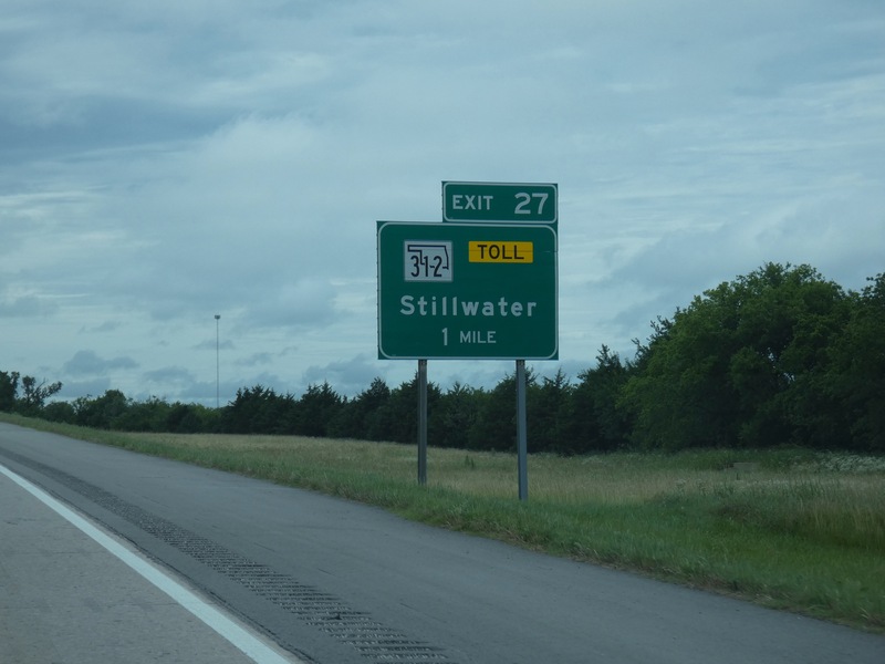
My exit, a short spur of the Turnpike toward Stillwater. [Crop/Zoom: 1357x1275]
![[Crop/Zoom: 1357x1275]](P1130474-close.jpg)
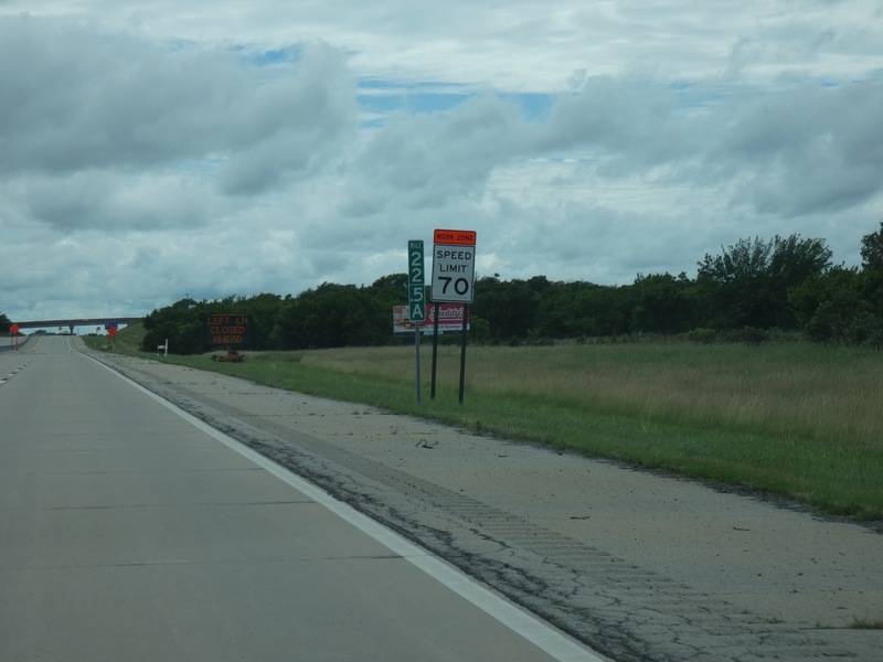
That's a pretty high work zone speed limit. [Crop/Zoom: 772x907]
![[Crop/Zoom: 772x907]](P1130475-close.jpg)
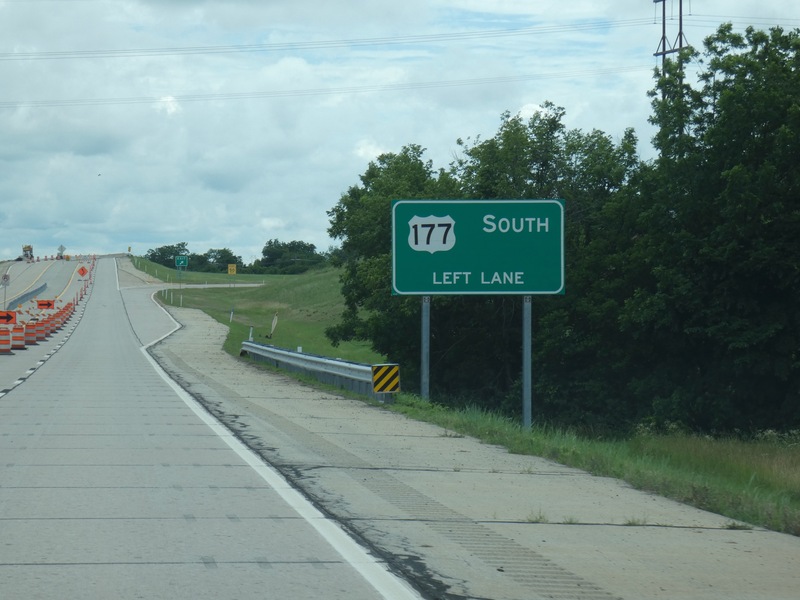
Coming up on the end of the Turnpike spur. [Crop/Zoom: 1378x958]
![[Crop/Zoom: 1378x958]](P1130476-close.jpg)
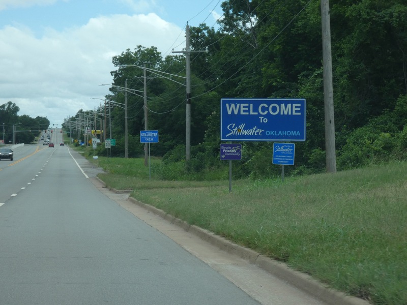
And into Stillwater. [Crop/Zoom: 2256x1130]
![[Crop/Zoom: 2256x1130]](P1130477-close.jpg)
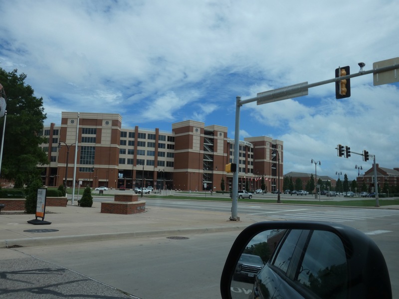
The massive football stadium at Oklahoma State in Stillwater. [Larger: 2448x1836]
![[Larger: 2448x1836]](P1130478-2448.jpg)
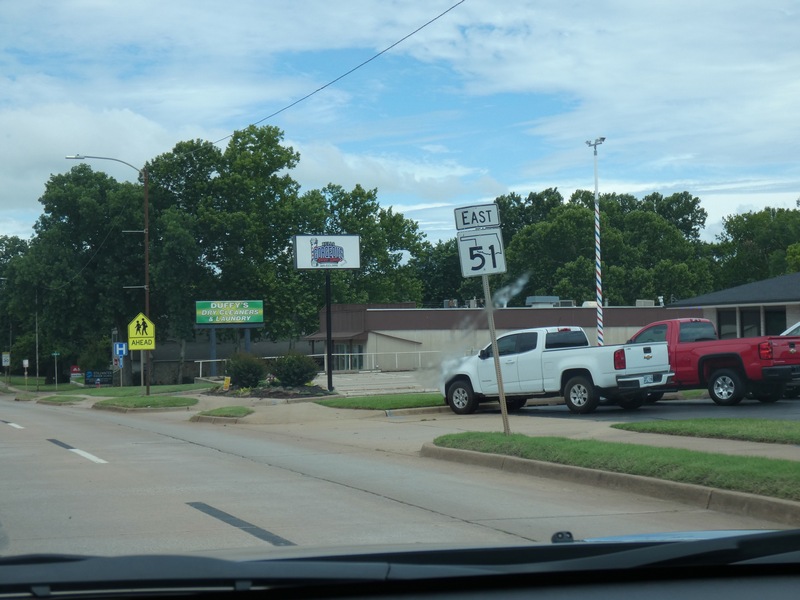
After a short walk in the area near the football stadium, a mini driving tour of Stillwater. [Crop/Zoom: 668x752]
![[Crop/Zoom: 668x752]](P1130479-close.jpg)
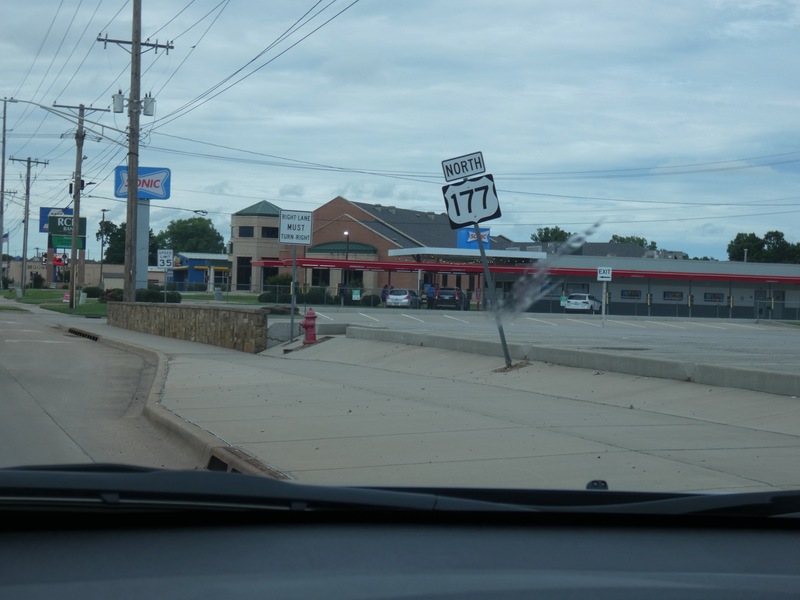
[Crop/Zoom: 709x709]
![[Crop/Zoom: 709x709]](P1130480-close.jpg)
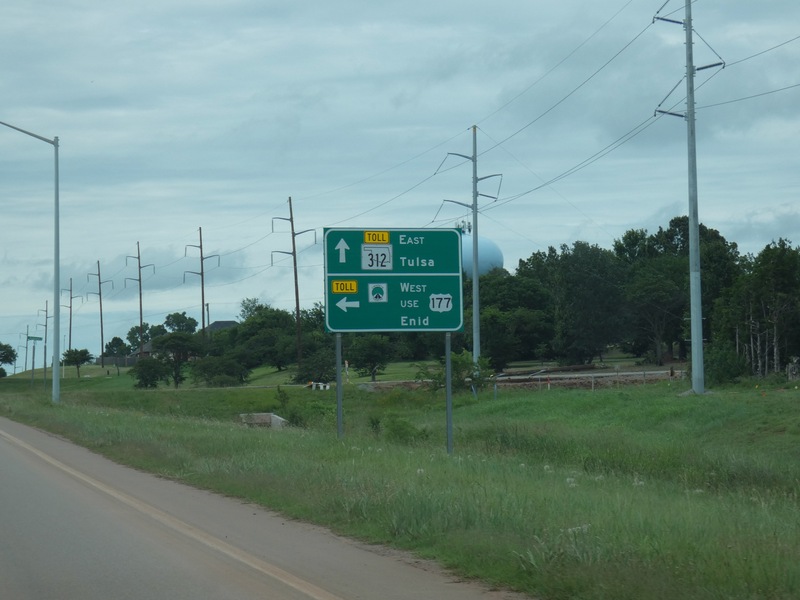
Leaving Stillwater, I'll stay on US 177. [Crop/Zoom: 1131x964]
![[Crop/Zoom: 1131x964]](P1130481-close.jpg)
[Larger: 2448x1836]
![[Larger: 2448x1836]](P1130482-2448.jpg)
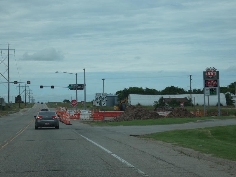
Crossing US 64 near Morrison. [Crop/Zoom: 499x507]
![[Crop/Zoom: 499x507]](P1130483-close.jpg)
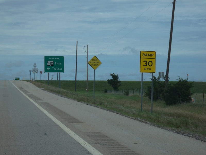
And then the Turnpike. [Crop/Zoom: 810x689]
![[Crop/Zoom: 810x689]](P1130484-close.jpg)
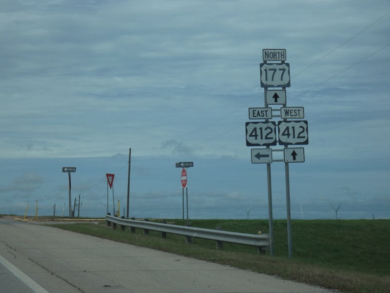
[Crop/Zoom: 1357x1800]
![[Crop/Zoom: 1357x1800]](P1130486-close.jpg)
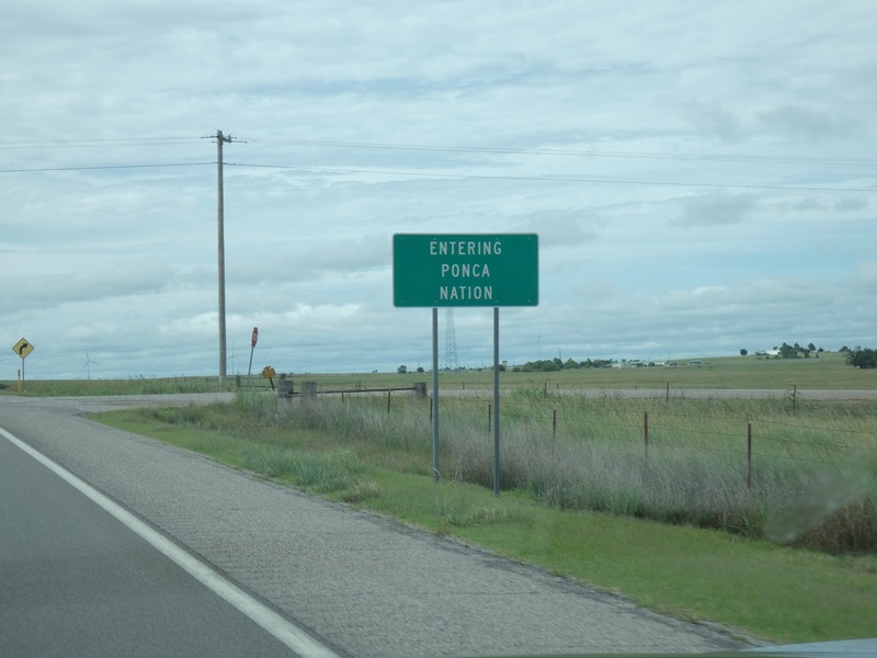
[Crop/Zoom: 1201x769]
![[Crop/Zoom: 1201x769]](P1130487-close.jpg)
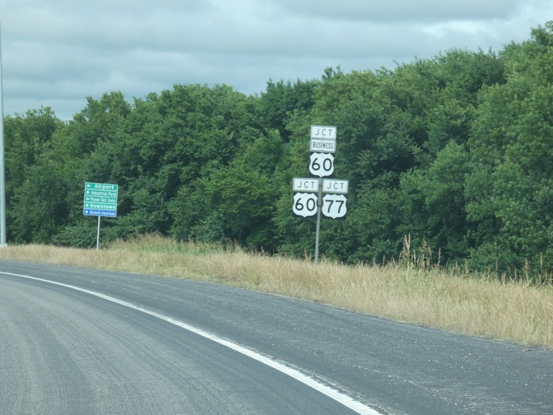
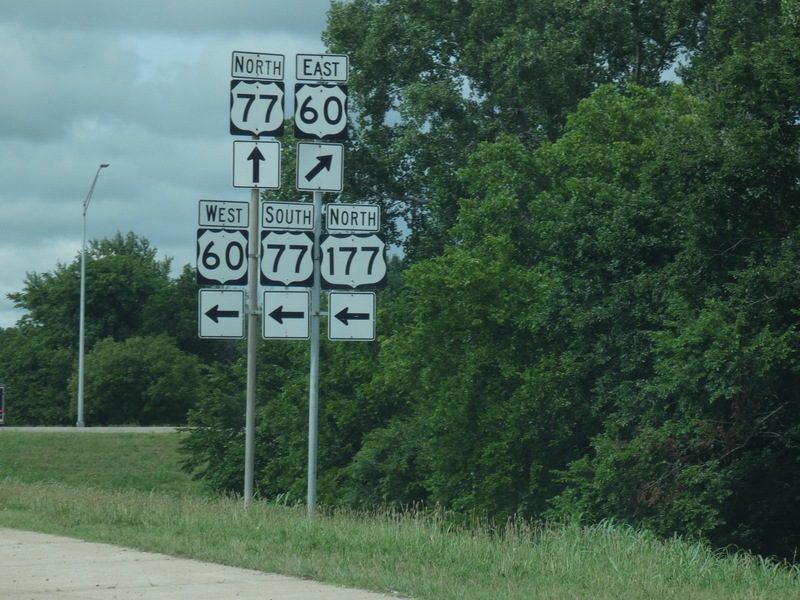
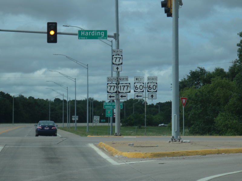
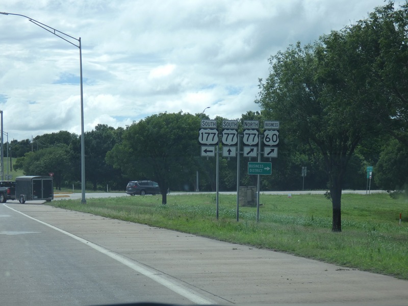
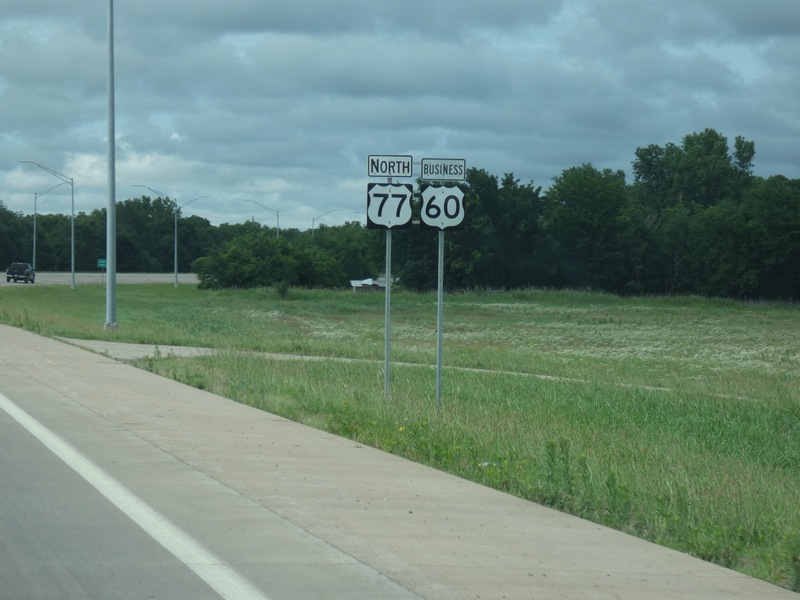
Next, Ponca City, where I'll pick up US 60. [Crop/Zoom: 849x1107]
![[Crop/Zoom: 849x1107]](P1130488-close.jpg)
[Crop/Zoom: 1625x2065]
![[Crop/Zoom: 1625x2065]](P1130489-close.jpg)
[Crop/Zoom: 1919x2032]
![[Crop/Zoom: 1919x2032]](P1130491-close.jpg)
[Crop/Zoom: 1379x922]
![[Crop/Zoom: 1379x922]](P1130492-close.jpg)
[Crop/Zoom: 1025x874]
![[Crop/Zoom: 1025x874]](P1130493-close.jpg)
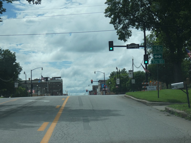
Time for a short trip through the middle of town in Ponca City. [Larger: 2448x1836]
![[Larger: 2448x1836]](P1130494-2448.jpg)
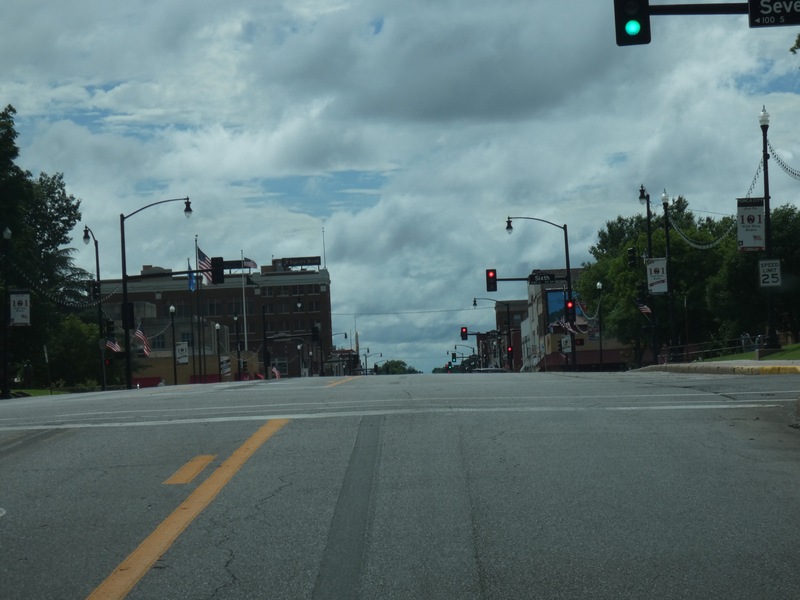
[Larger: 2448x1836]
![[Larger: 2448x1836]](P1130495-2448.jpg)
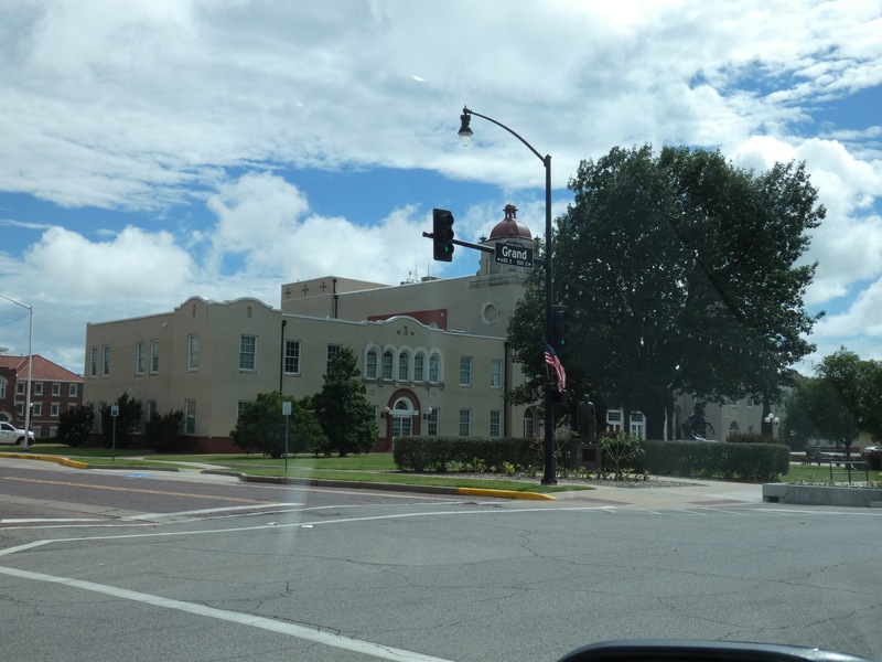
[Larger: 2448x1836]
![[Larger: 2448x1836]](P1130496-2448.jpg)
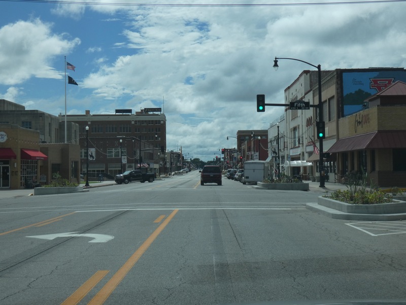
[Larger: 2448x1836]
![[Larger: 2448x1836]](P1130497-2448.jpg)
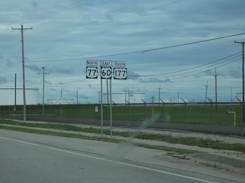
My plans were changed by a railroad crossing, but I think I got the idea of Ponca City. [Crop/Zoom: 1386x833]
![[Crop/Zoom: 1386x833]](P1130498-close.jpg)
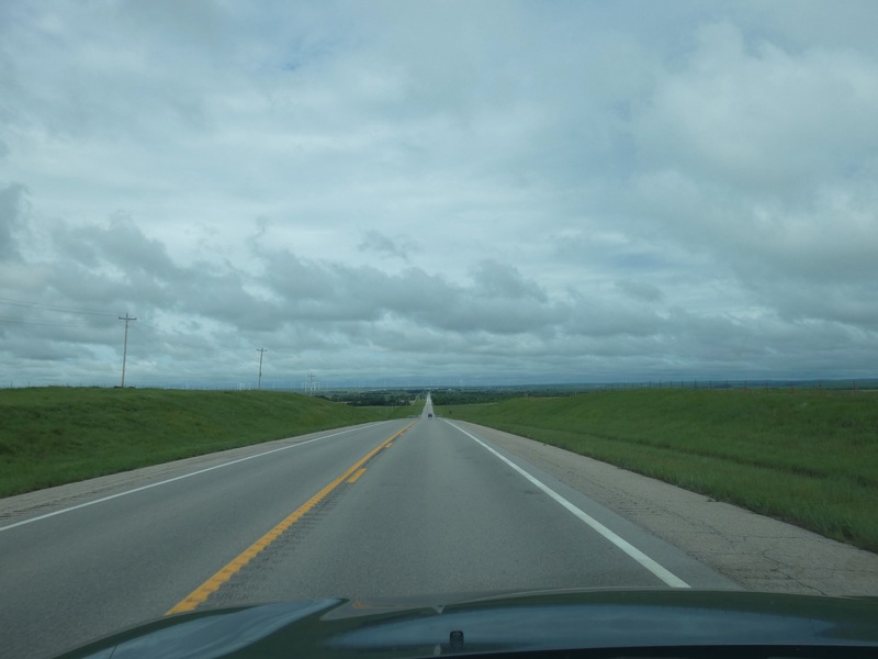
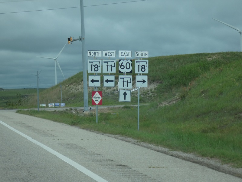
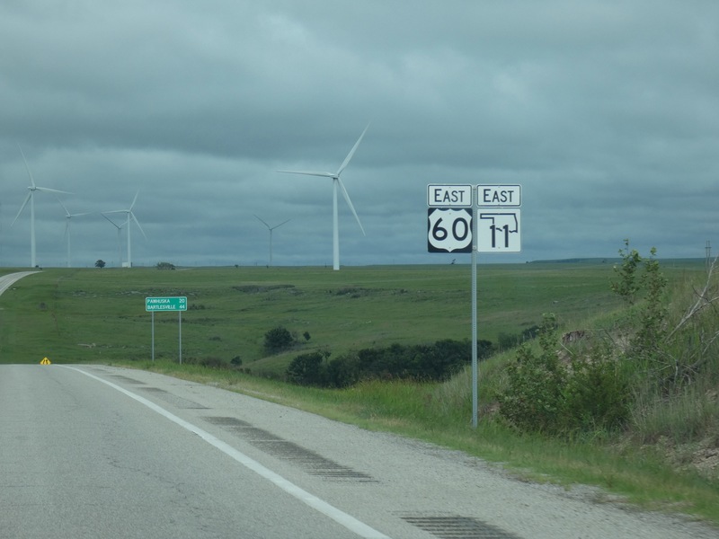
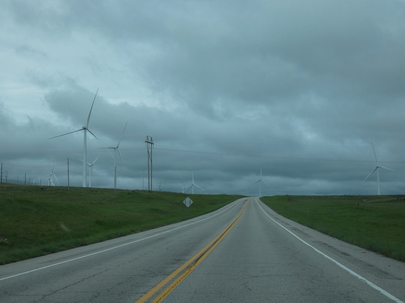
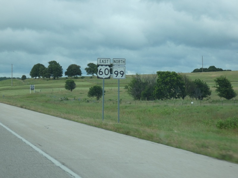
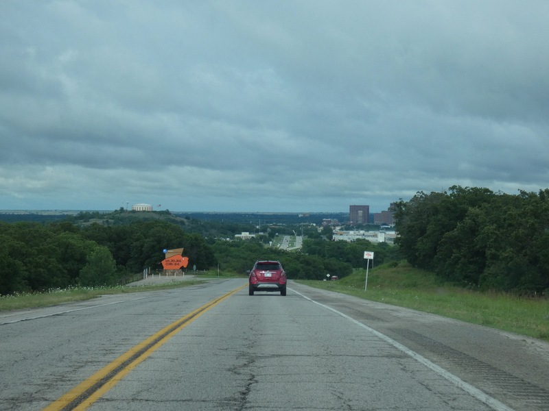
And now headed east on US 60 toward dinner in Pawhuska. [Larger: 2448x1836]
![[Larger: 2448x1836]](P1130499-2448.jpg)
[Crop/Zoom: 1606x1363]
![[Crop/Zoom: 1606x1363]](P1130500-close.jpg)
[Crop/Zoom: 2916x1213]
![[Crop/Zoom: 2916x1213]](P1130501-close.jpg)
[Larger: 2448x1836]
![[Larger: 2448x1836]](P1130502-2448.jpg)
[Crop/Zoom: 1098x804]
![[Crop/Zoom: 1098x804]](P1130507-close.jpg)
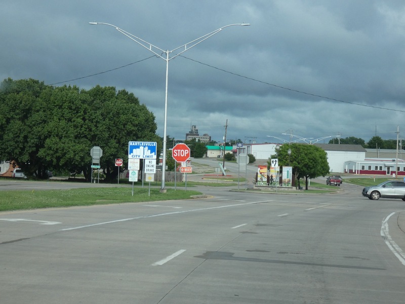
Into Bartlesville. [Larger: 2448x1836]
![[Larger: 2448x1836]](P1130508-2448.jpg)
[Crop/Zoom: 564x661]
![[Crop/Zoom: 564x661]](P1130509-close.jpg)
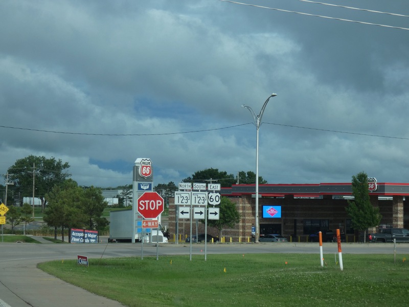
[Crop/Zoom: 847x717]
![[Crop/Zoom: 847x717]](P1130510-close.jpg)
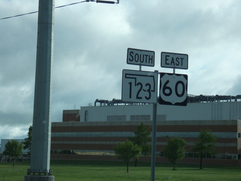
[Crop/Zoom: 1897x1705]
![[Crop/Zoom: 1897x1705]](P1130511-close.jpg)
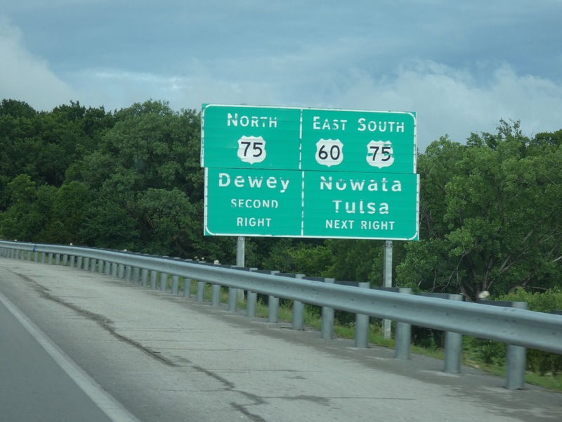
[Crop/Zoom: 2345x1649]
![[Crop/Zoom: 2345x1649]](P1130512-close.jpg)
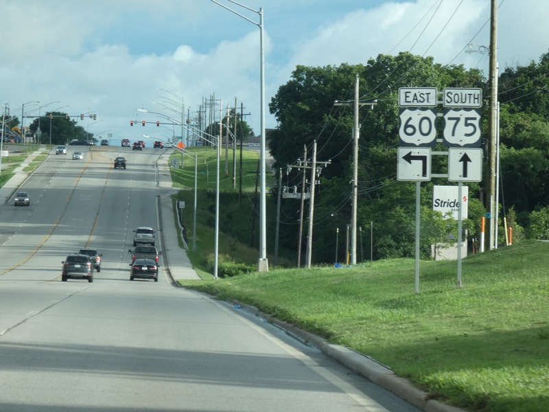
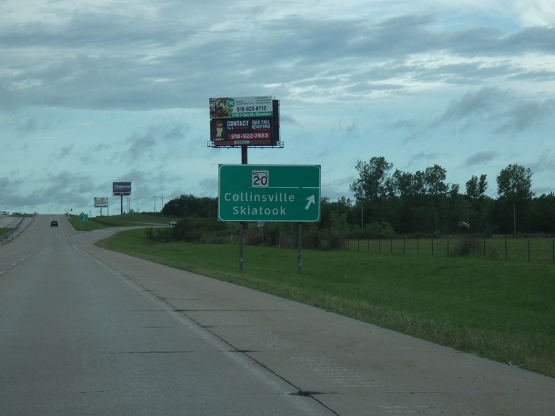
Out of Bartlesville and headed south back toward Tulsa. [Crop/Zoom: 1082x1264]
![[Crop/Zoom: 1082x1264]](P1130513-close.jpg)
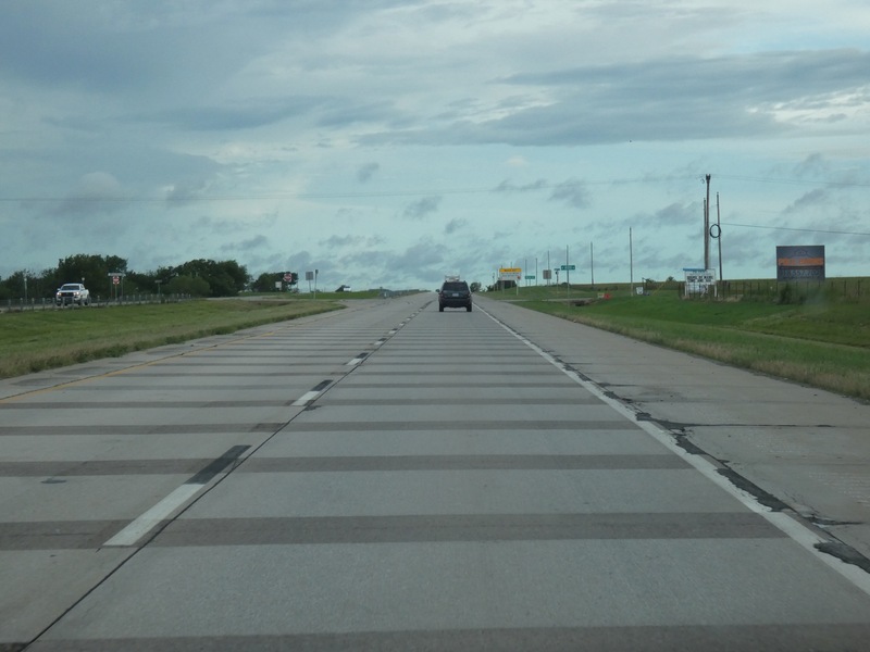
Not sure what's up with these pavement markings. [Larger: 2448x1836]
![[Larger: 2448x1836]](P1130514-2448.jpg)
[Crop/Zoom: 1274x825]
![[Crop/Zoom: 1274x825]](P1130515-close.jpg)