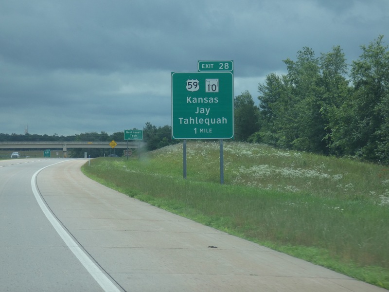
I'll leave the Cherokee Turnpike here. [Crop/Zoom: 1069x1214]
![[Crop/Zoom: 1069x1214]](P1130544-close.jpg)
[Crop/Zoom: 923x1013]
![[Crop/Zoom: 923x1013]](P1130545-close.jpg)
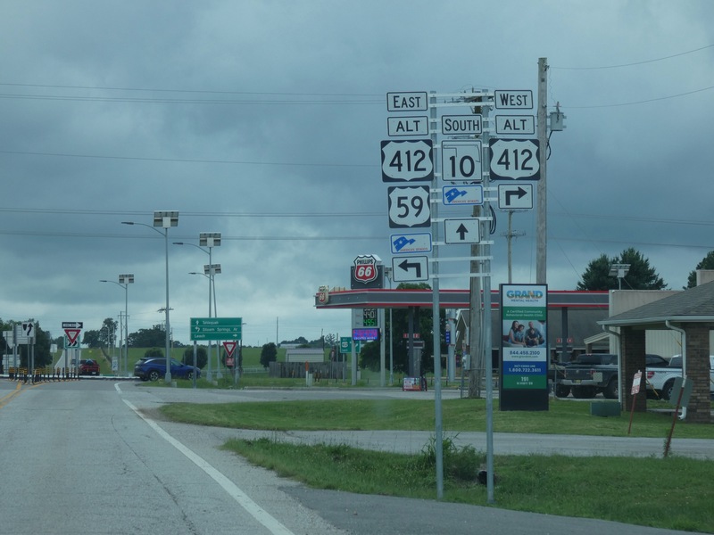
Taking a little loop south for some county-counting and scenery. [Crop/Zoom: 1560x1694]
![[Crop/Zoom: 1560x1694]](P1130546-close.jpg)
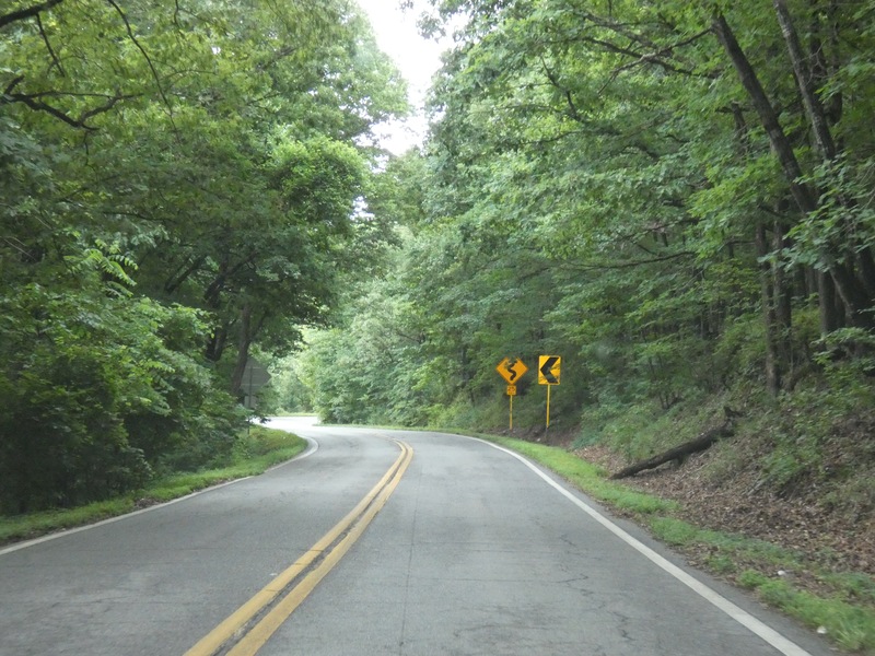
A very nice ride on Oklahoma 10 South out of Kansas, Oklahoma. [Larger: 2448x1836]
![[Larger: 2448x1836]](P1130547-2448.jpg)
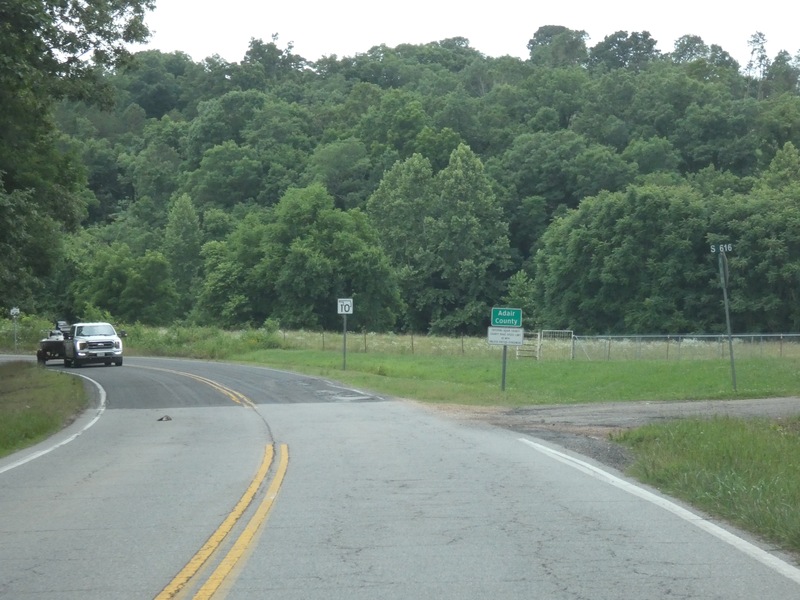
One extra county. [Crop/Zoom: 1277x480]
![[Crop/Zoom: 1277x480]](P1130548-close.jpg)
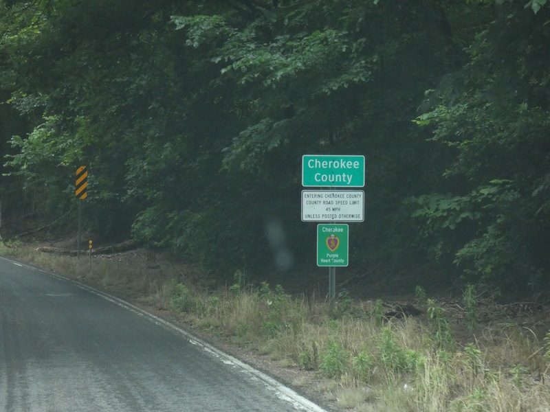
Two extra counties. [Crop/Zoom: 870x1361]
![[Crop/Zoom: 870x1361]](P1130549-close.jpg)
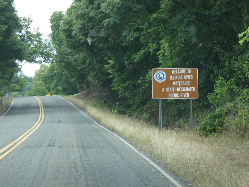
[Crop/Zoom: 1286x876]
![[Crop/Zoom: 1286x876]](P1130550-close.jpg)
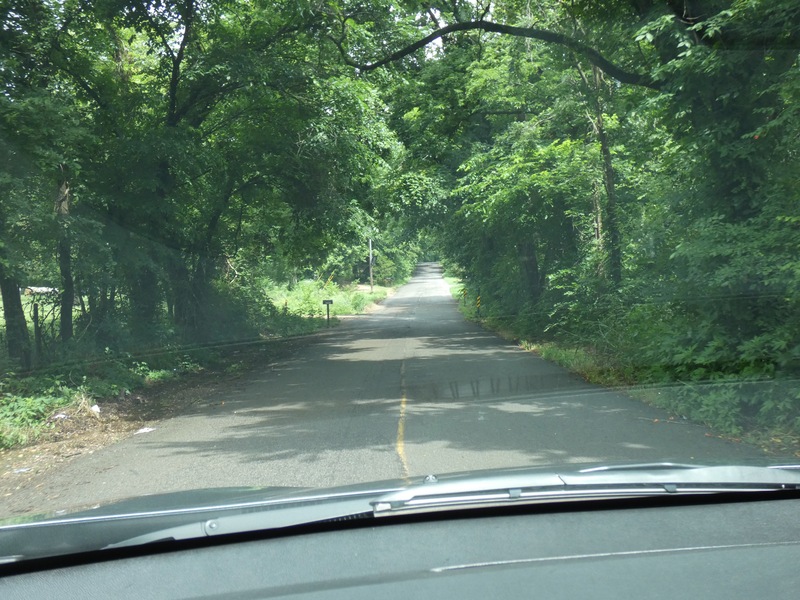
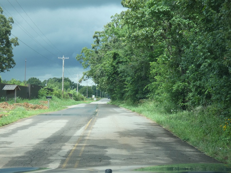
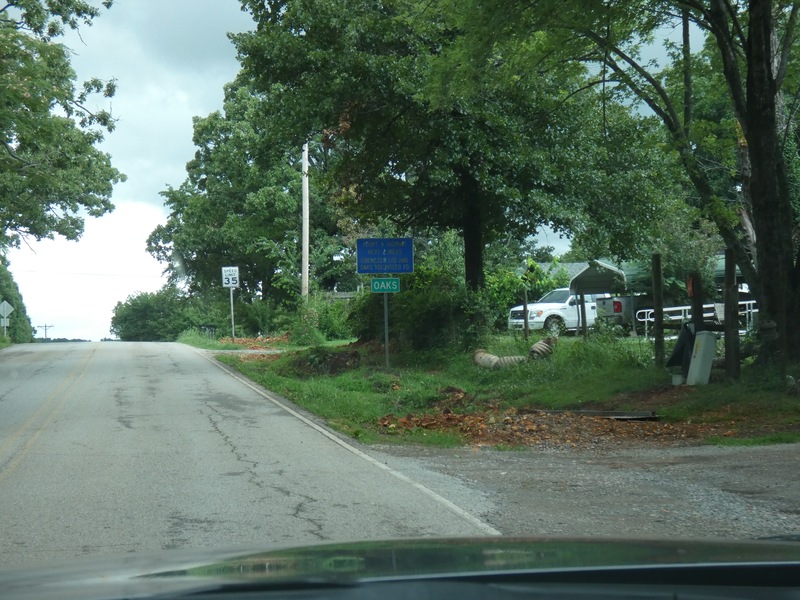
Now back north on a side road toward Kansas, Oklahoma. [Larger: 2448x1836]
![[Larger: 2448x1836]](P1130551-2448.jpg)
[Larger: 2448x1836]
![[Larger: 2448x1836]](P1130552-2448.jpg)
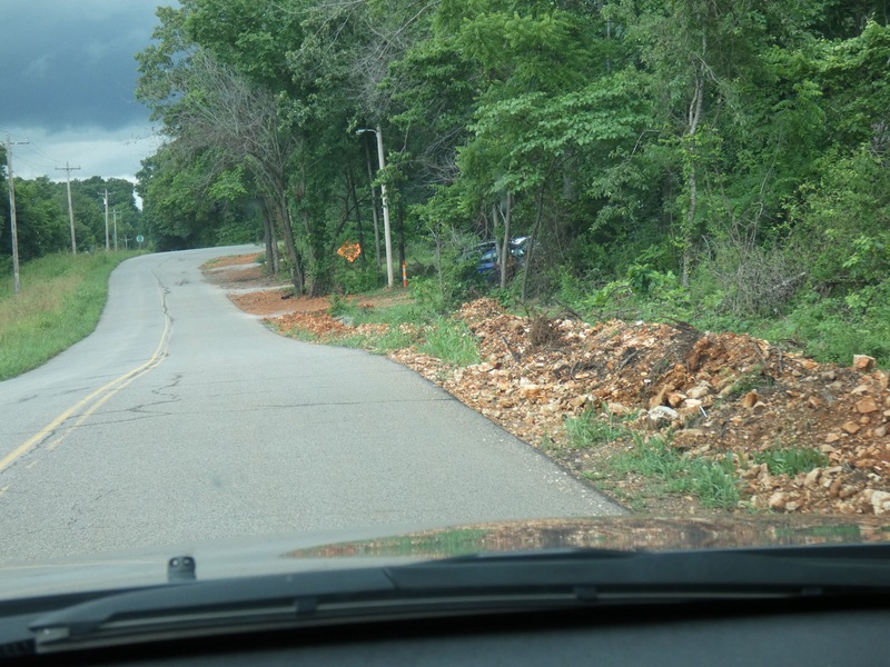
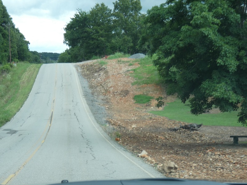
There looked to be a project going on that results in lots of piles of these red rocks along the road. [Larger: 2448x1836]
![[Larger: 2448x1836]](P1130553-2448.jpg)
[Crop/Zoom: 712x826]
![[Crop/Zoom: 712x826]](P1130554-close.jpg)
[Larger: 2448x1836]
![[Larger: 2448x1836]](P1130555-2448.jpg)
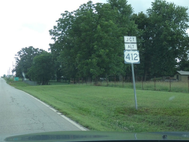
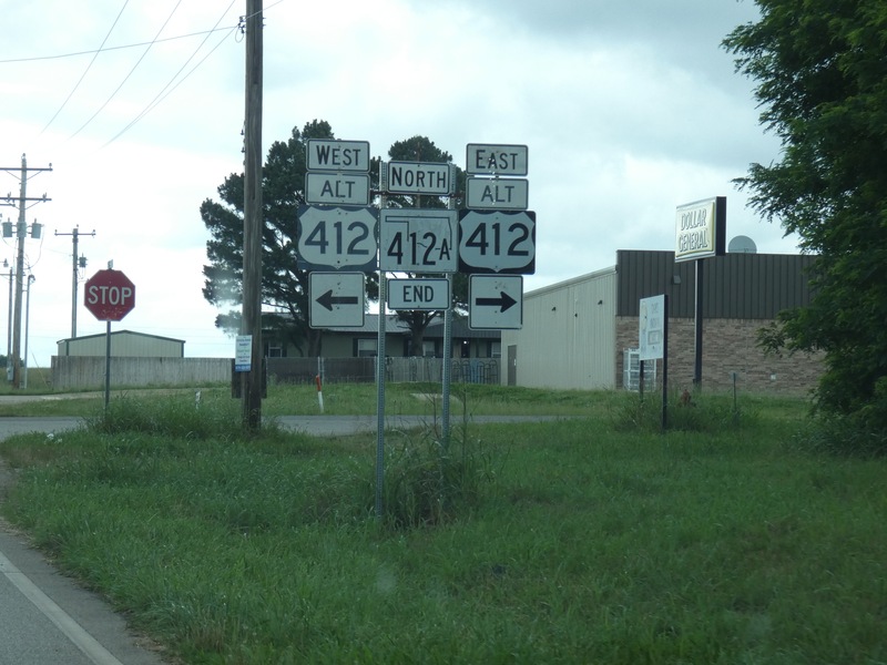
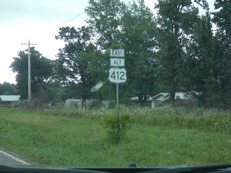
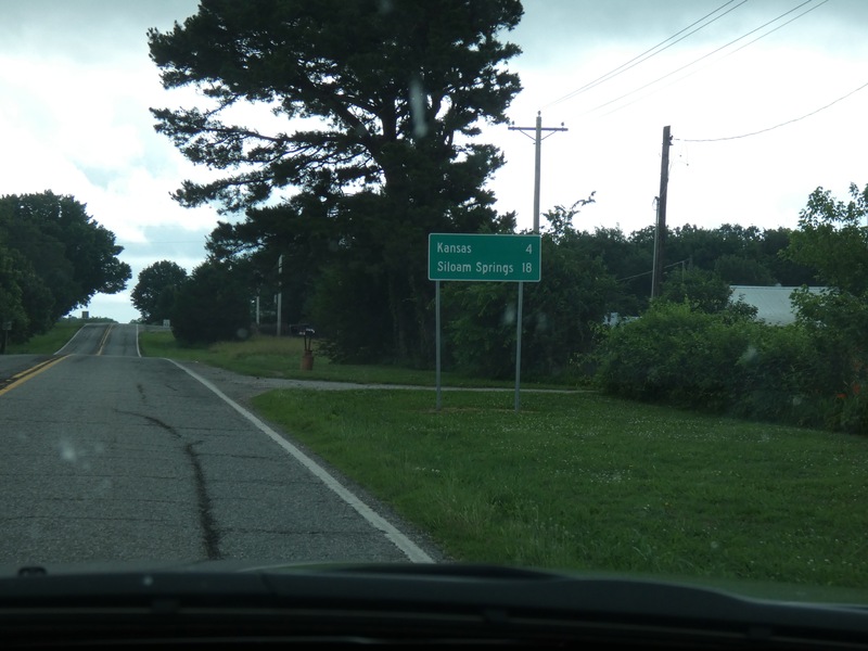
Back at Alt US 412 to get back to Kansas. [Crop/Zoom: 882x1194]
![[Crop/Zoom: 882x1194]](P1130556-close.jpg)
[Crop/Zoom: 1801x1417]
![[Crop/Zoom: 1801x1417]](P1130557-close.jpg)
[Crop/Zoom: 829x1064]
![[Crop/Zoom: 829x1064]](P1130558-close.jpg)
[Crop/Zoom: 977x559]
![[Crop/Zoom: 977x559]](P1130559-close.jpg)
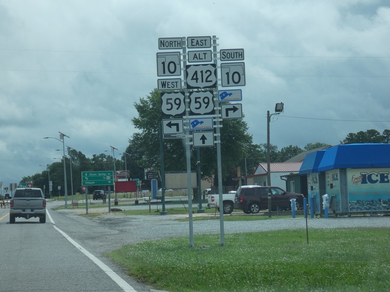
End of the loop in Kansas. [Crop/Zoom: 2344x2141]
![[Crop/Zoom: 2344x2141]](P1130560-close.jpg)
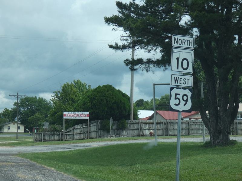
[Crop/Zoom: 1140x1784]
![[Crop/Zoom: 1140x1784]](P1130561-close.jpg)
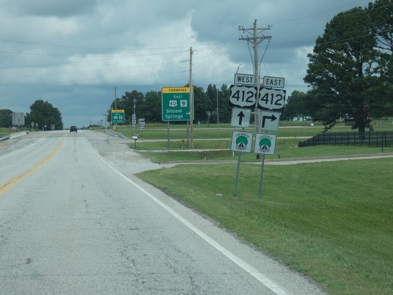
[Crop/Zoom: 2449x1479]
![[Crop/Zoom: 2449x1479]](P1130562-close.jpg)