[Crop/Zoom: 3840x981]
![[Crop/Zoom: 3840x981]](P1130523-close.jpg)
[Crop/Zoom: 1985x850]
![[Crop/Zoom: 1985x850]](P1130524-close.jpg)
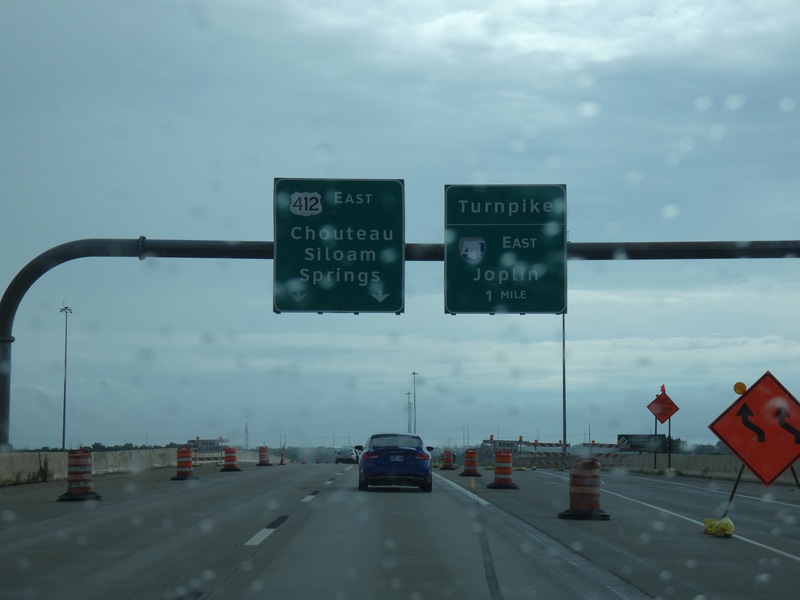
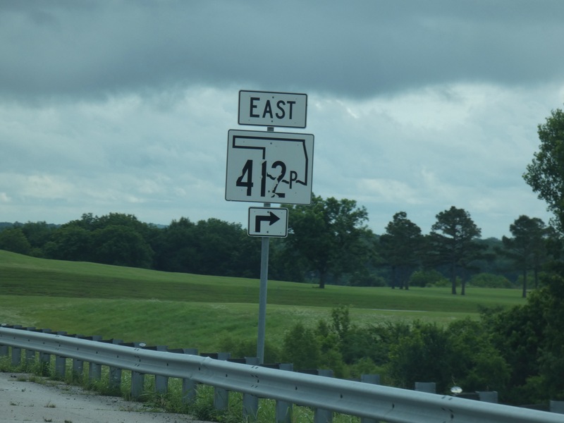
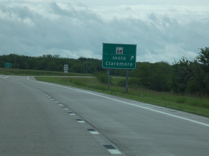
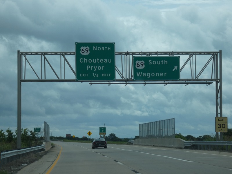
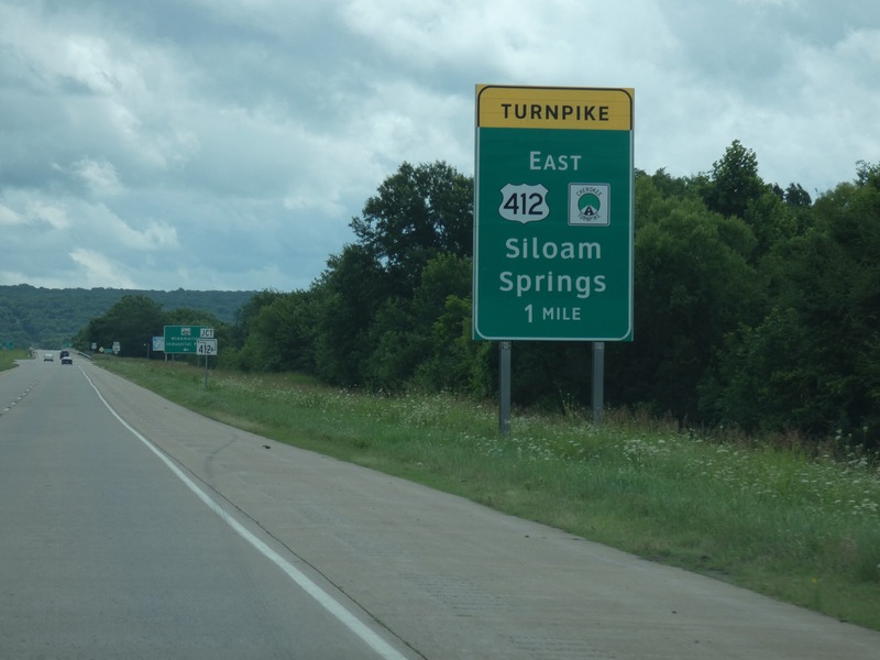
I'll take 412, not the Turnpike to Joplin. [Crop/Zoom: 2147x1252]
![[Crop/Zoom: 2147x1252]](P1130526-close.jpg)
[Crop/Zoom: 3697x1582]
![[Crop/Zoom: 3697x1582]](P1130528-close.jpg)
[Crop/Zoom: 1137x1593]
![[Crop/Zoom: 1137x1593]](P1130529-close.jpg)
[Crop/Zoom: 2178x1034]
![[Crop/Zoom: 2178x1034]](P1130530-close.jpg)
[Crop/Zoom: 2596x1241]
![[Crop/Zoom: 2596x1241]](P1130531-close.jpg)
[Crop/Zoom: 1181x1796]
![[Crop/Zoom: 1181x1796]](P1130532-close.jpg)
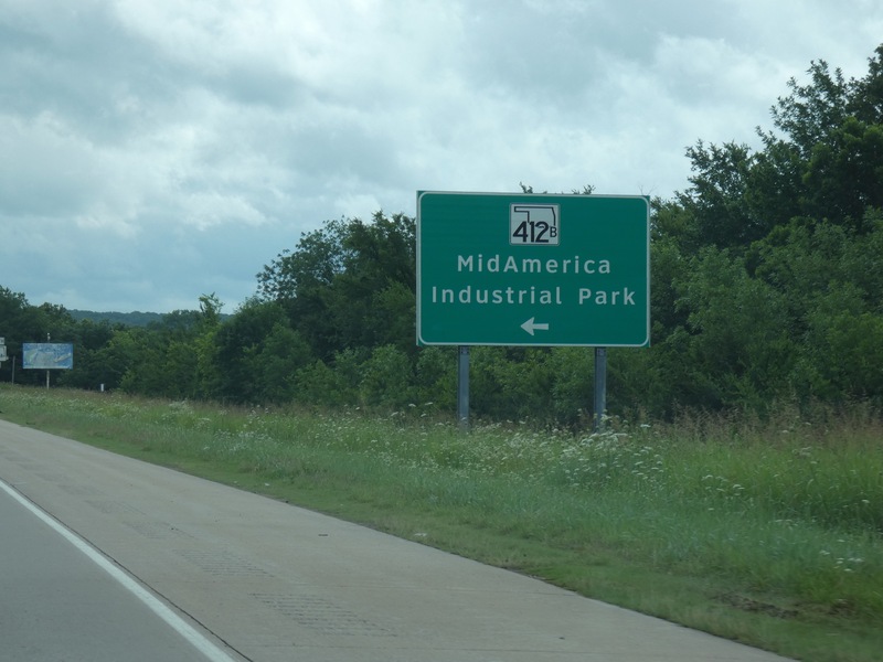
[Crop/Zoom: 1623x1147]
![[Crop/Zoom: 1623x1147]](P1130534-close.jpg)
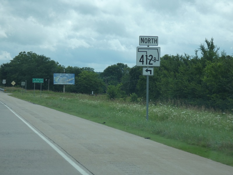
[Crop/Zoom: 797x1212]
![[Crop/Zoom: 797x1212]](P1130535-close.jpg)
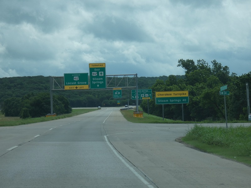
Getting into the Cherokee Turnpike. [Crop/Zoom: 2614x1207]
![[Crop/Zoom: 2614x1207]](P1130536-close.jpg)
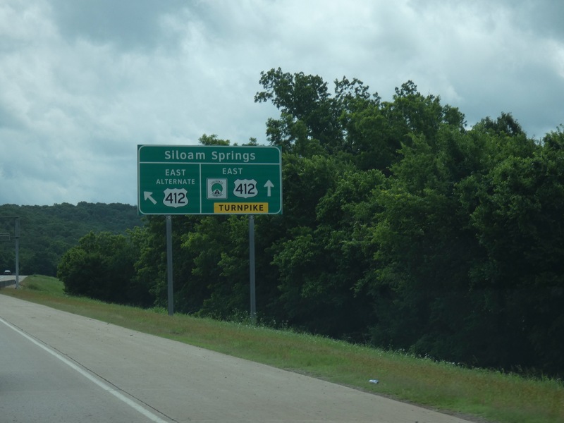
[Crop/Zoom: 1615x891]
![[Crop/Zoom: 1615x891]](P1130538-close.jpg)
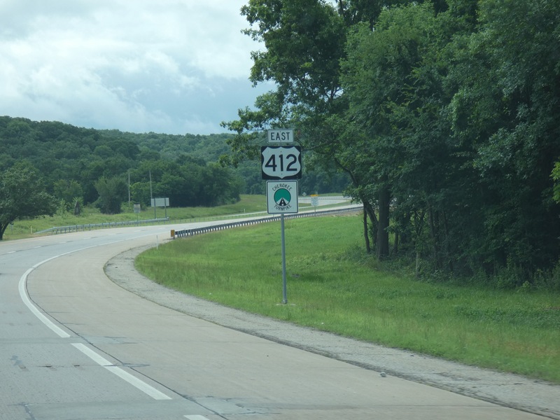
[Crop/Zoom: 779x1001]
![[Crop/Zoom: 779x1001]](P1130539-close.jpg)
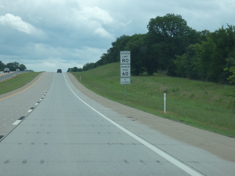
80 here. [Crop/Zoom: 645x951]
![[Crop/Zoom: 645x951]](P1130540-close.jpg)
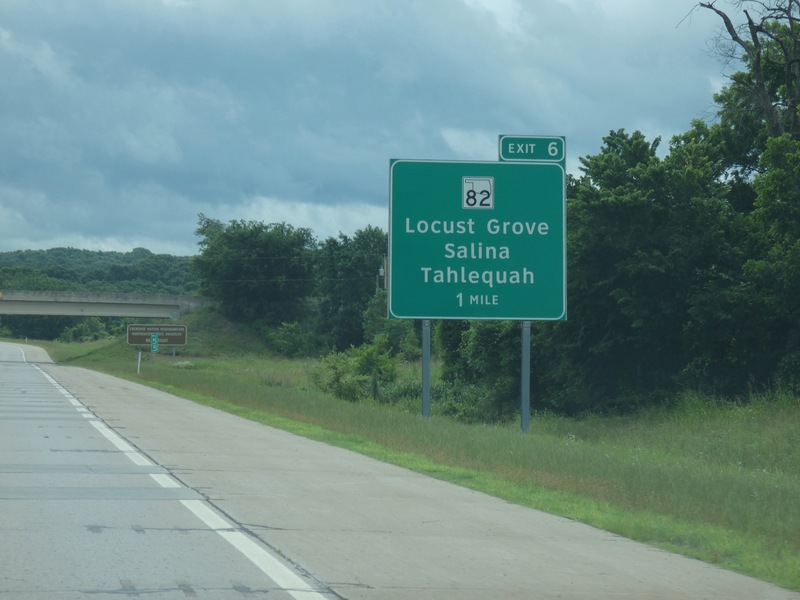
[Crop/Zoom: 1525x1474]
![[Crop/Zoom: 1525x1474]](P1130541-close.jpg)
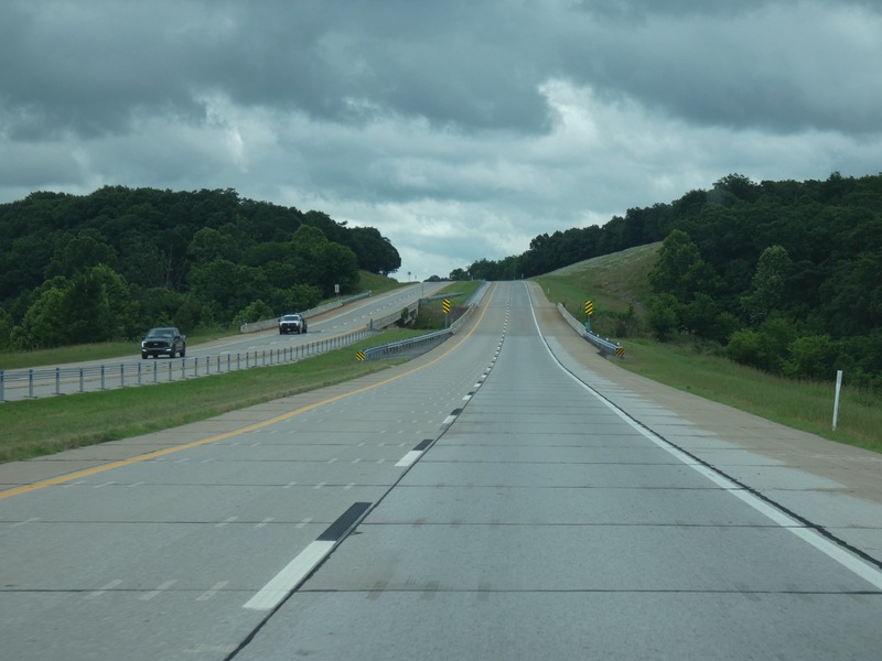
[Larger: 2448x1836]
![[Larger: 2448x1836]](P1130542-2448.jpg)
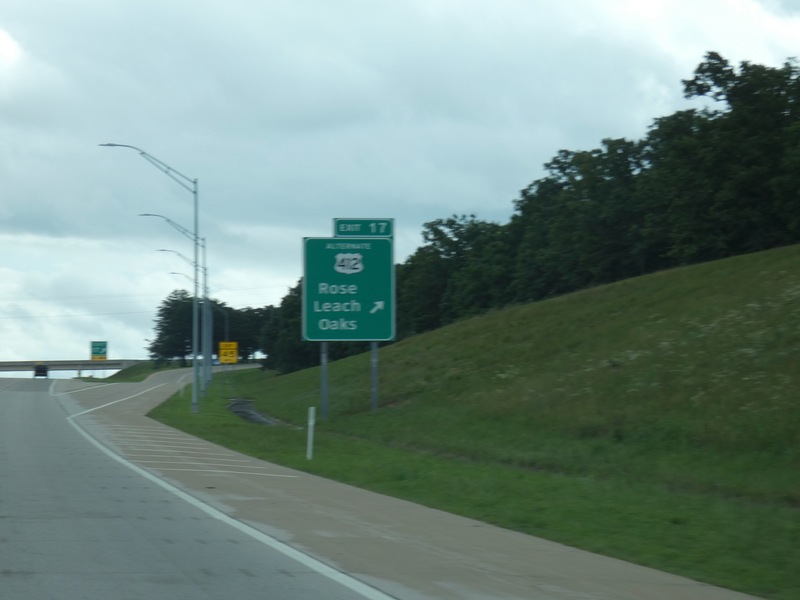
[Crop/Zoom: 931x1043]
![[Crop/Zoom: 931x1043]](P1130543-close.jpg)
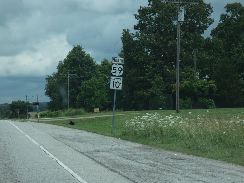
After the loop to the south, heading north out of Kansas. [Crop/Zoom: 725x1037]
![[Crop/Zoom: 725x1037]](P1130563-close.jpg)
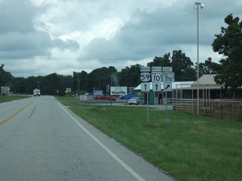
[Crop/Zoom: 988x786]
![[Crop/Zoom: 988x786]](P1130564-close.jpg)
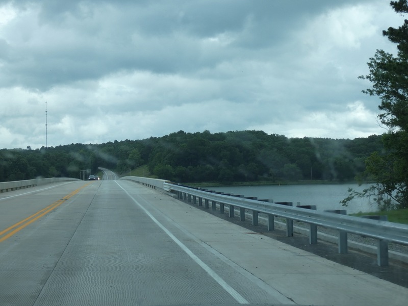
Crossing Lake Eucha. [Larger: 2448x1836]
![[Larger: 2448x1836]](P1130566-2448.jpg)
[Crop/Zoom: 1723x1244]
![[Crop/Zoom: 1723x1244]](P1130567-close.jpg)
[Crop/Zoom: 749x1623]
![[Crop/Zoom: 749x1623]](P1130568-close.jpg)
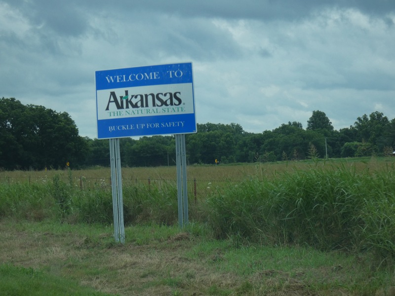
A very short side trip across into Arkansas on Arkansas 43. [Crop/Zoom: 1718x1310]
![[Crop/Zoom: 1718x1310]](P1130570-close.jpg)
Now north along Oklahoma 20/Arkansas 43, right on the border for a while. [Larger: 2448x1836]
![[Larger: 2448x1836]](P1130571-2448.jpg)
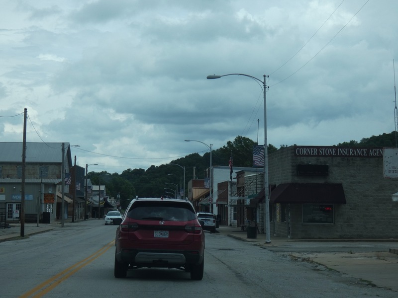
Southwest City. [Larger: 2448x1836]
![[Larger: 2448x1836]](P1130577-2448.jpg)
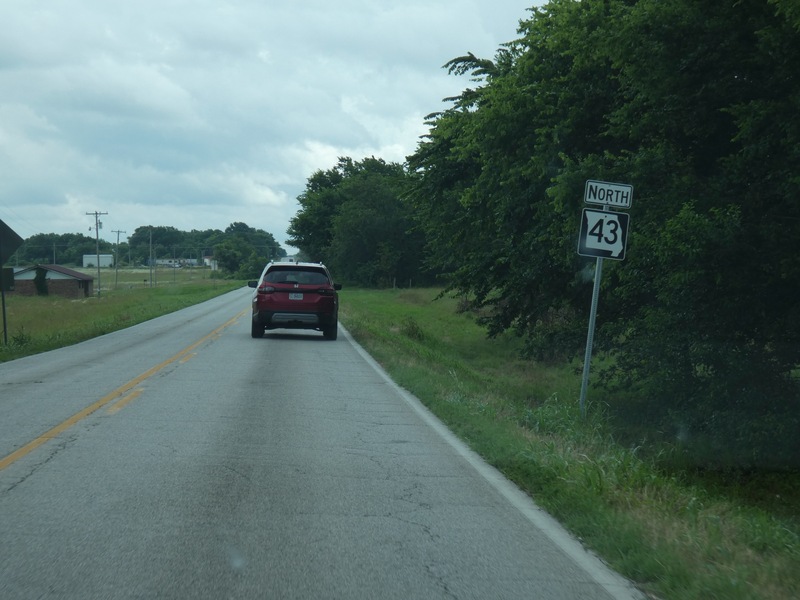
[Crop/Zoom: 704x847]
![[Crop/Zoom: 704x847]](P1130578-close.jpg)
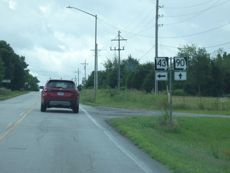
Now headed east on Missouri 90. [Crop/Zoom: 958x897]
![[Crop/Zoom: 958x897]](P1130579-close.jpg)
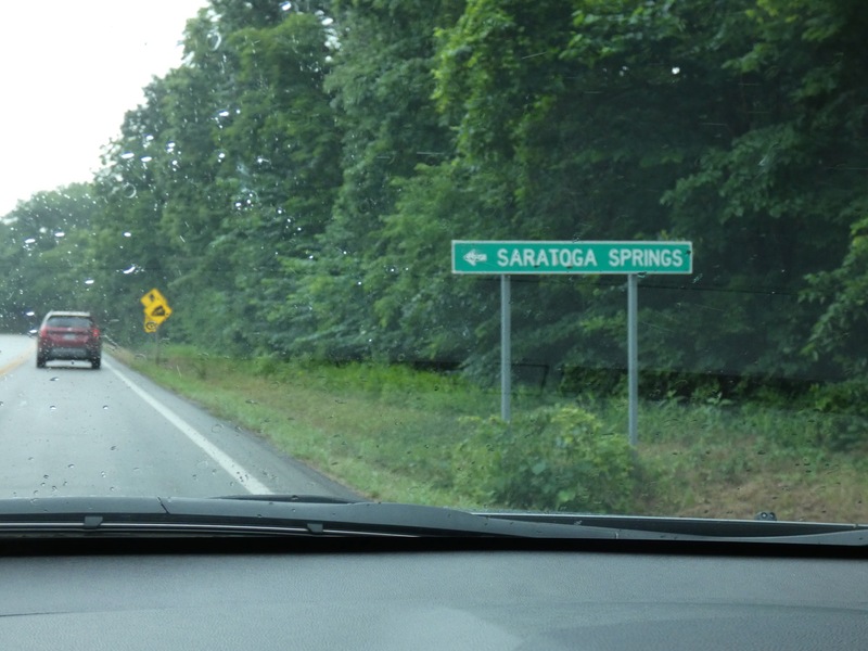
There's a Saratoga Springs in southwest Missouri. [Crop/Zoom: 1695x652]
![[Crop/Zoom: 1695x652]](P1130580-close.jpg)
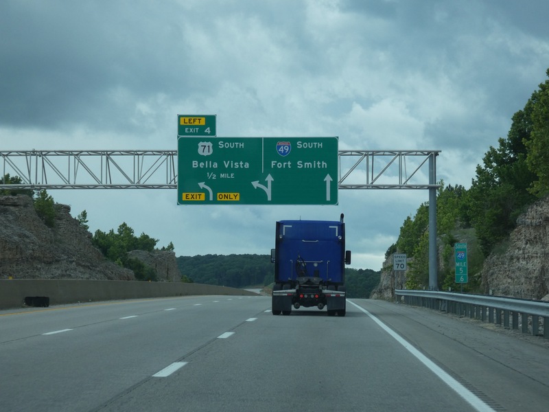
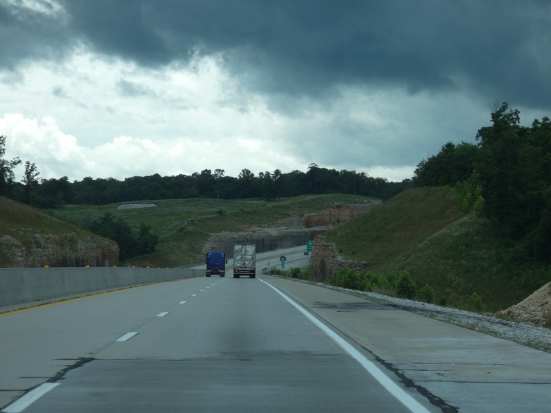
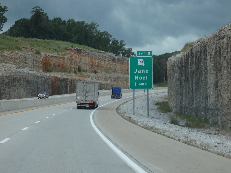
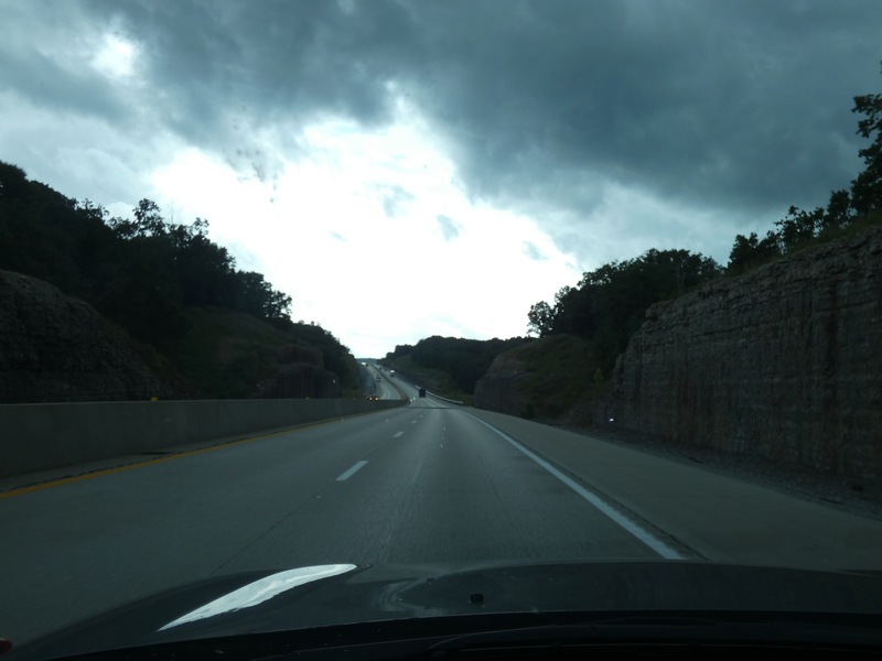
Onto I-49 to drive the newest section that wasn't here on my previous ride through. [Crop/Zoom: 2822x1724]
![[Crop/Zoom: 2822x1724]](P1130591-close.jpg)
[Larger: 2448x1836]
![[Larger: 2448x1836]](P1130592-2448.jpg)
[Crop/Zoom: 884x1160]
![[Crop/Zoom: 884x1160]](P1130593-close.jpg)
[Larger: 2448x1836]
![[Larger: 2448x1836]](P1130594-2448.jpg)
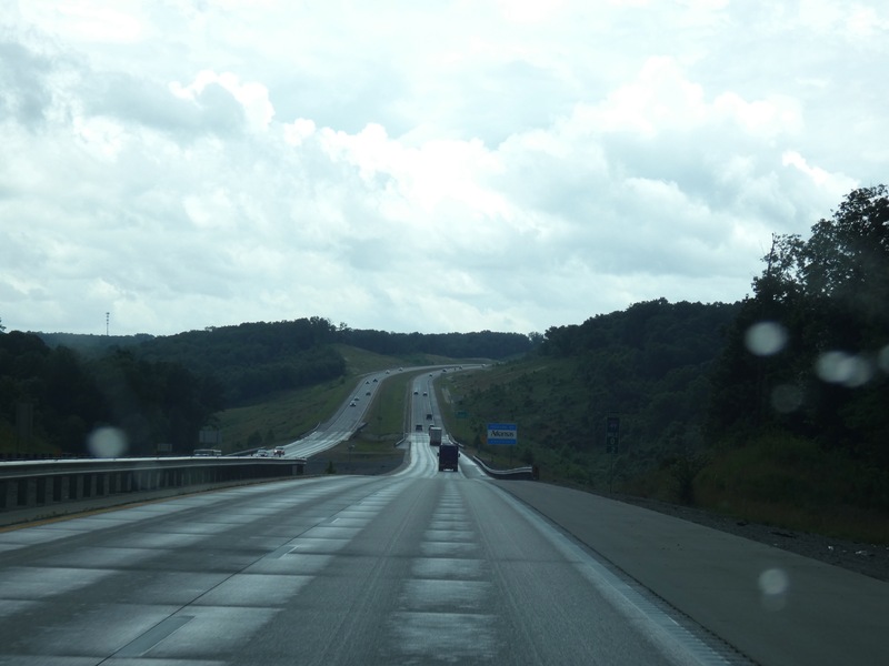
Coming up on Arkansas. [Larger: 2448x1836]
![[Larger: 2448x1836]](P1130595-2448.jpg)
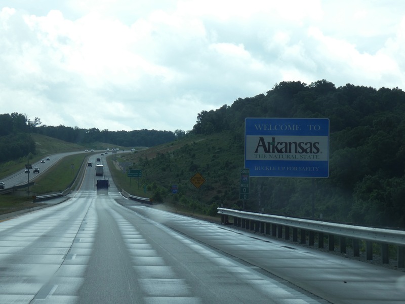
[Crop/Zoom: 1403x1016]
![[Crop/Zoom: 1403x1016]](P1130596-close.jpg)
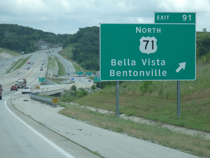
The end of the new section, so I've been on all of this part of I-49 again. [Crop/Zoom: 2599x1864]
![[Crop/Zoom: 2599x1864]](P1130597-close.jpg)
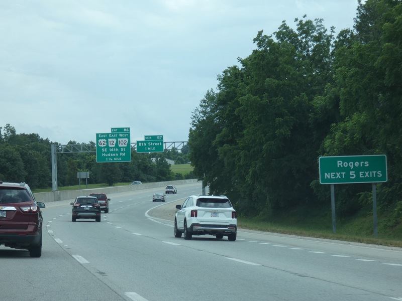
[Crop/Zoom: 3752x1003]
![[Crop/Zoom: 3752x1003]](P1130598-close.jpg)
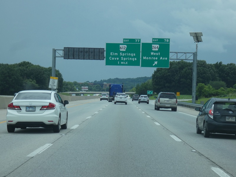
[Crop/Zoom: 1656x965]
![[Crop/Zoom: 1656x965]](P1130599-close.jpg)
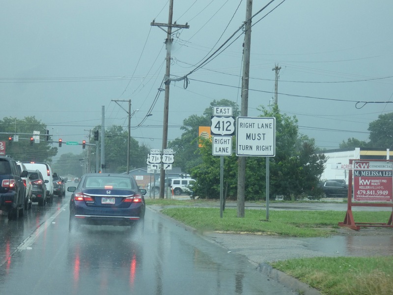
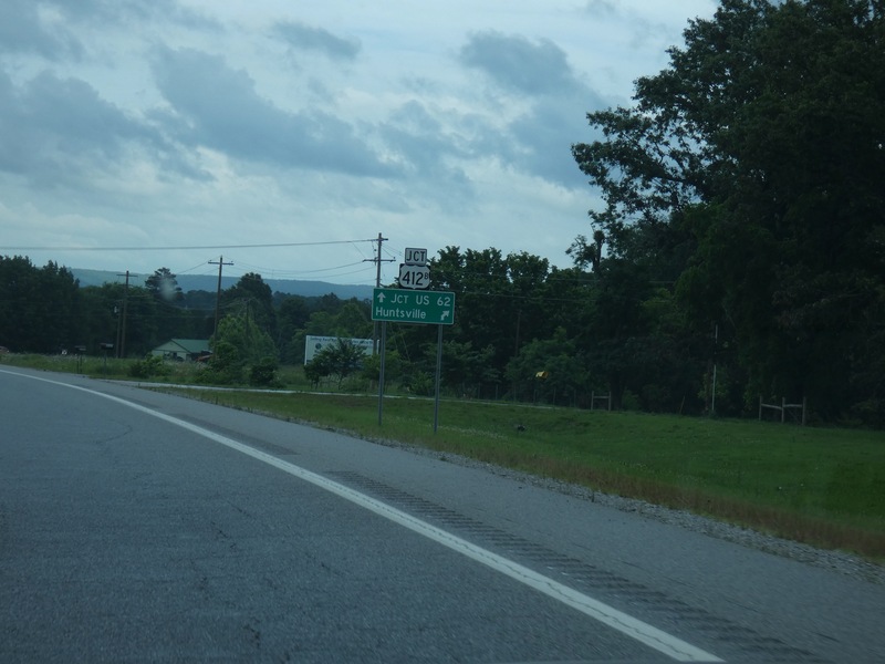
After the rain-shortened baseball game, leaving the Springdale area in a storm on US 412. [Crop/Zoom: 1278x1121]
![[Crop/Zoom: 1278x1121]](P1130600-close.jpg)
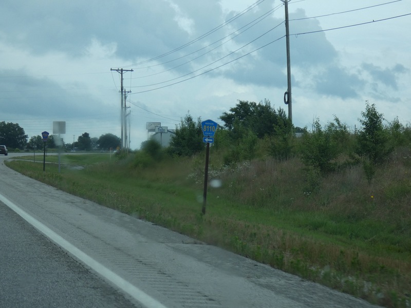
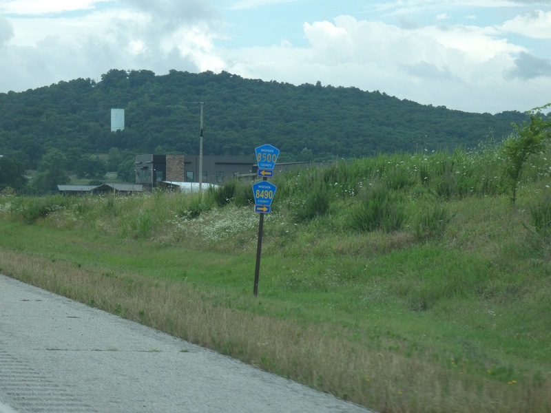
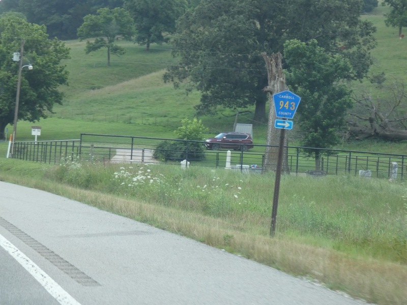
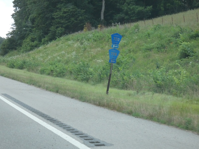
Madison County, Arkansas, has a lot of high-numbered county routes here along US 412. [Crop/Zoom: 357x600]
![[Crop/Zoom: 357x600]](P1130602-close.jpg)
[Crop/Zoom: 607x816]
![[Crop/Zoom: 607x816]](P1130607-close.jpg)
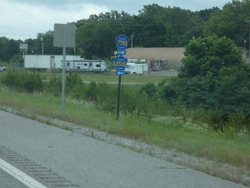
[Crop/Zoom: 487x981]
![[Crop/Zoom: 487x981]](P1130608-close.jpg)
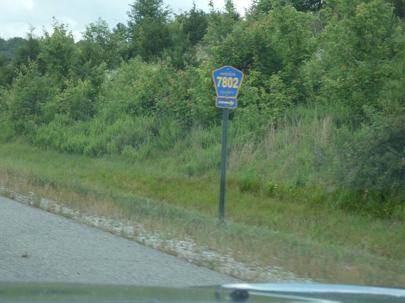
[Crop/Zoom: 714x910]
![[Crop/Zoom: 714x910]](P1130609-close.jpg)
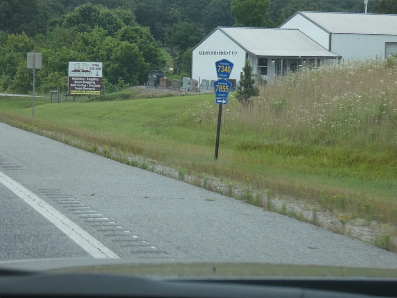
[Crop/Zoom: 520x910]
![[Crop/Zoom: 520x910]](P1130610-close.jpg)
[Crop/Zoom: 705x679]
![[Crop/Zoom: 705x679]](P1130611-close.jpg)
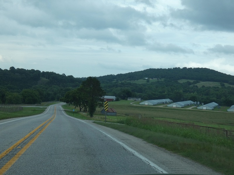
Ozarks scenery along US 412 in northwest Arkansas. [Larger: 2448x1836]
![[Larger: 2448x1836]](P1130612-2448.jpg)
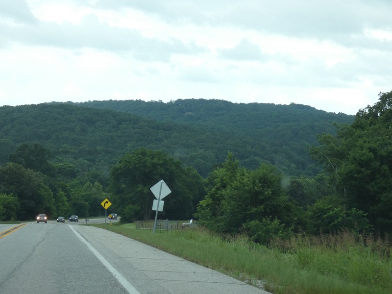
[Larger: 2448x1836]
![[Larger: 2448x1836]](P1130613-2448.jpg)
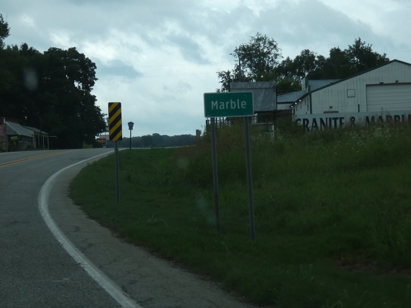
[Crop/Zoom: 915x558]
![[Crop/Zoom: 915x558]](P1130614-close.jpg)
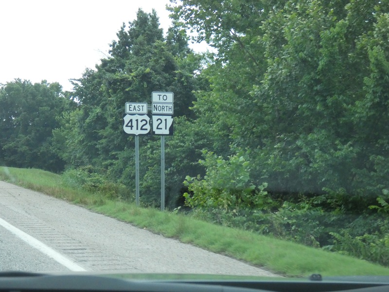
[Crop/Zoom: 920x804]
![[Crop/Zoom: 920x804]](P1130615-close.jpg)
[Crop/Zoom: 517x667]
![[Crop/Zoom: 517x667]](P1130616-close.jpg)
[Crop/Zoom: 634x1216]
![[Crop/Zoom: 634x1216]](P1130617-close.jpg)
[Larger: 2448x1836]
![[Larger: 2448x1836]](P1130618-2448.jpg)
[Larger: 2448x1836]
![[Larger: 2448x1836]](P1130620-2448.jpg)
[Crop/Zoom: 530x911]
![[Crop/Zoom: 530x911]](P1130621-close.jpg)
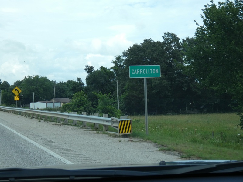
[Crop/Zoom: 877x608]
![[Crop/Zoom: 877x608]](P1130622-close.jpg)
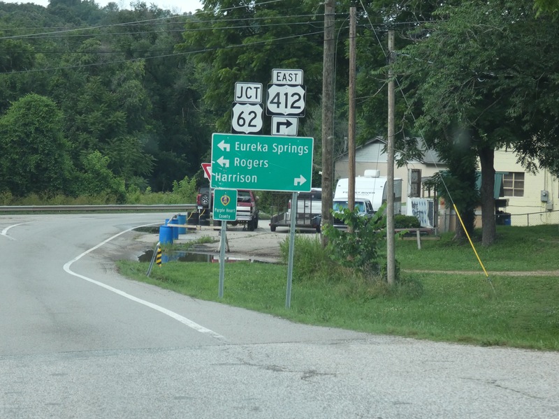
[Crop/Zoom: 1409x1579]
![[Crop/Zoom: 1409x1579]](P1130623-close.jpg)
[Crop/Zoom: 929x958]
![[Crop/Zoom: 929x958]](P1130624-close.jpg)
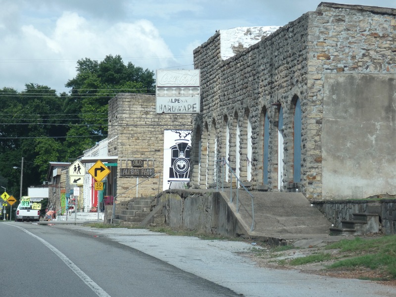
Alpena, Arkansas. [Larger: 2448x1836]
![[Larger: 2448x1836]](P1130625-2448.jpg)
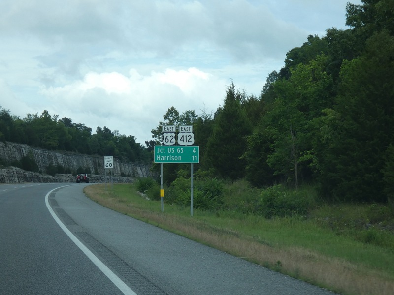
[Crop/Zoom: 916x725]
![[Crop/Zoom: 916x725]](P1130626-close.jpg)
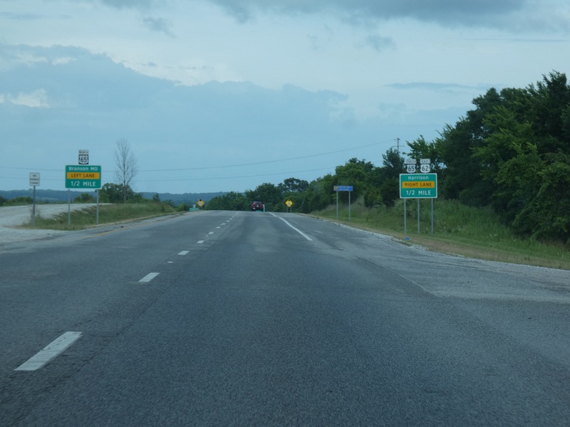
[Crop/Zoom: 3390x503]
![[Crop/Zoom: 3390x503]](P1130627-close.jpg)
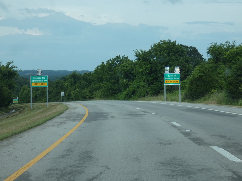
Heading north toward Springfield from here. [Crop/Zoom: 3291x875]
![[Crop/Zoom: 3291x875]](P1130628-close.jpg)
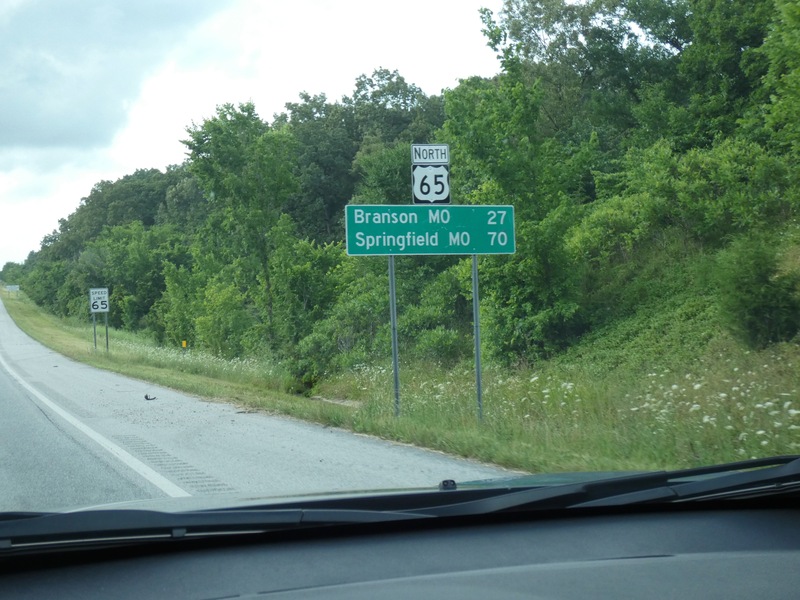
[Crop/Zoom: 1353x956]
![[Crop/Zoom: 1353x956]](P1130629-close.jpg)
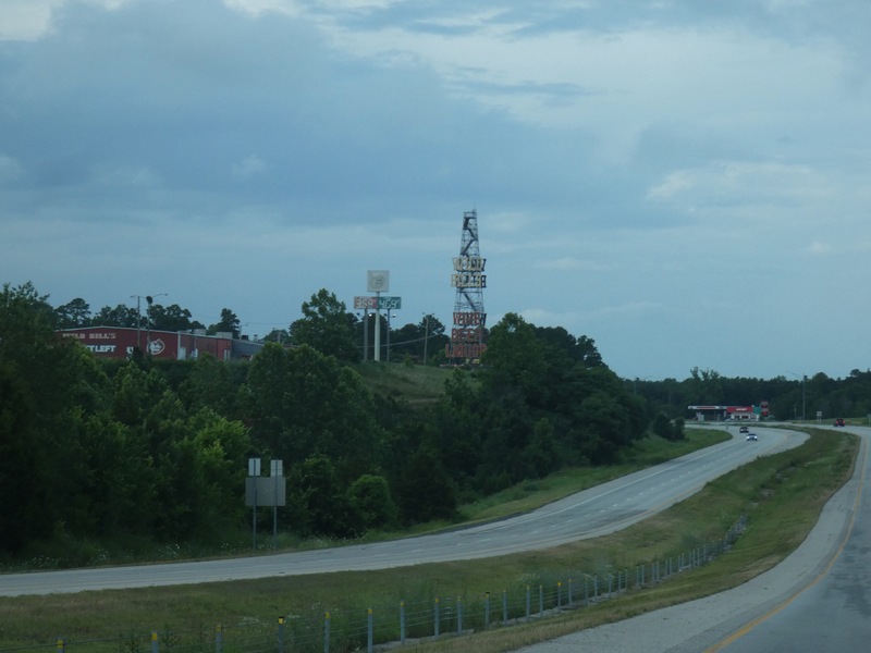
[Larger: 2448x1836]
![[Larger: 2448x1836]](P1130631-2448.jpg)
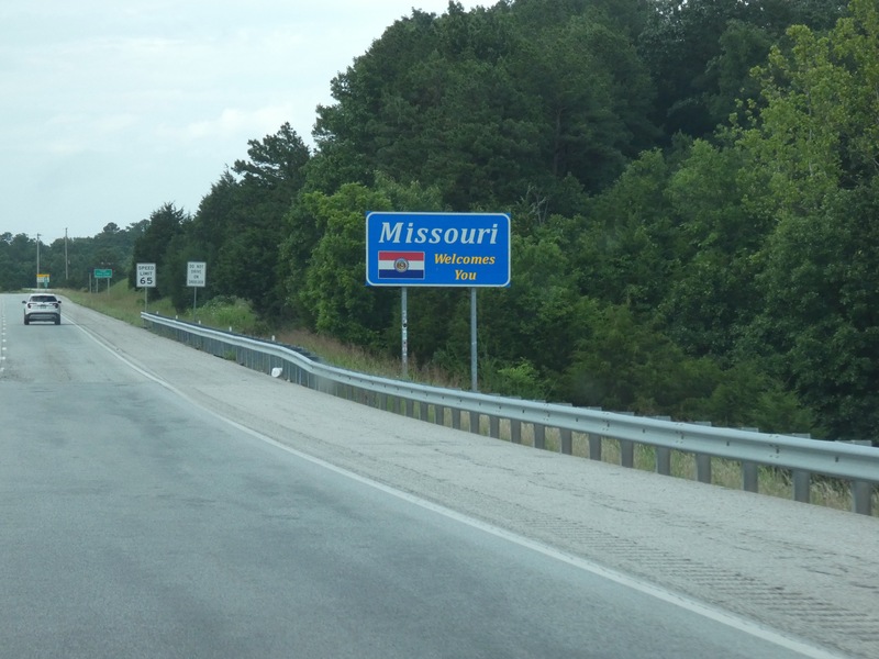
Into Missouri on US 65 North. [Crop/Zoom: 1189x723]
![[Crop/Zoom: 1189x723]](P1130632-close.jpg)
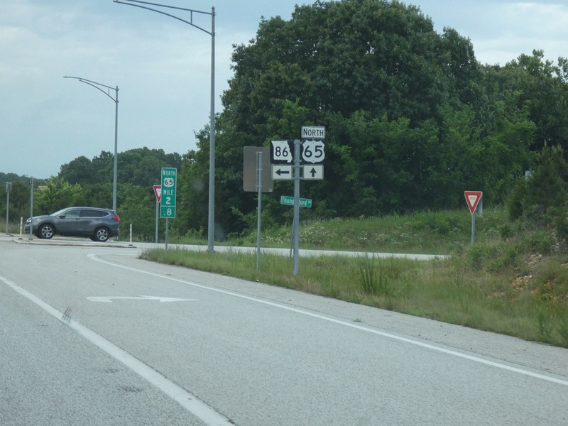
[Crop/Zoom: 1842x1288]
![[Crop/Zoom: 1842x1288]](P1130633-close.jpg)
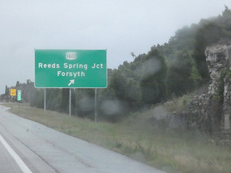
[Crop/Zoom: 1917x1257]
![[Crop/Zoom: 1917x1257]](P1130650-close.jpg)
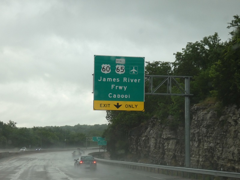
Finally into the Springfield area. [Crop/Zoom: 1554x1564]
![[Crop/Zoom: 1554x1564]](P1130651-close.jpg)
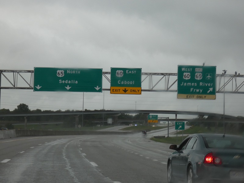
[Crop/Zoom: 4051x1057]
![[Crop/Zoom: 4051x1057]](P1130653-close.jpg)
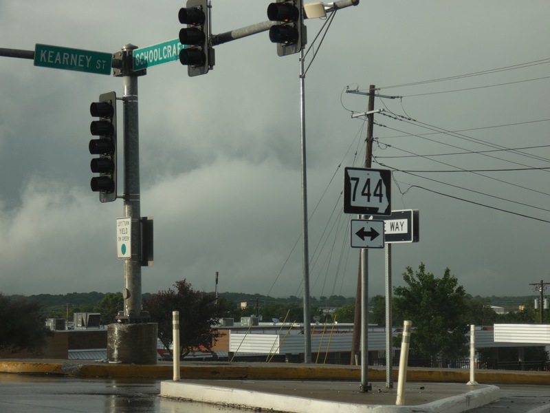
[Crop/Zoom: 672x909]
![[Crop/Zoom: 672x909]](P1130654-close.jpg)