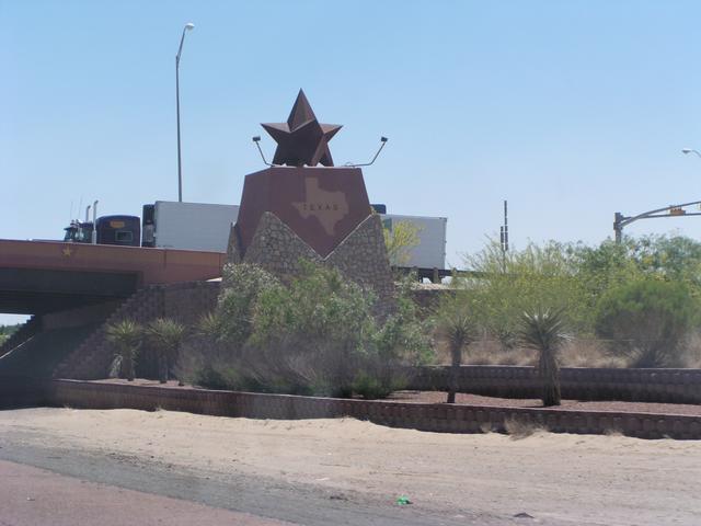
Monument marking the Texas line. [2048x1536]
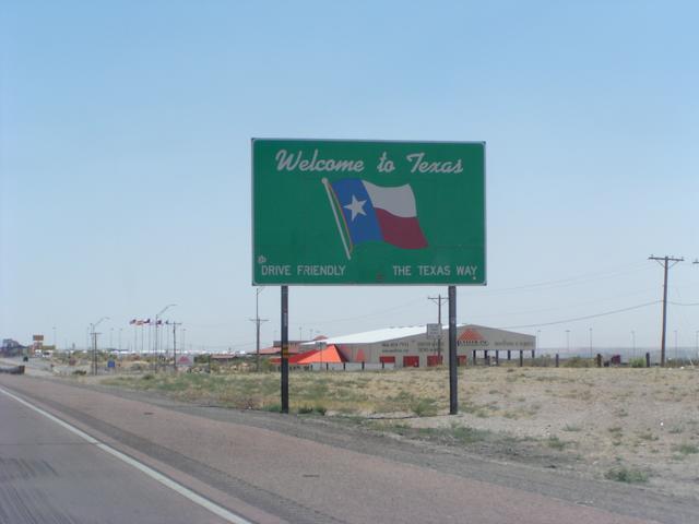
And the standard Texas welcome. [2048x1536]
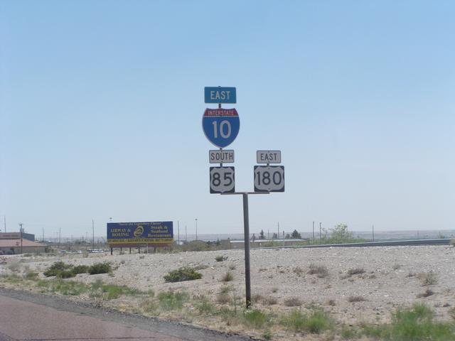
US 85 has reappeared after being a secret since leaving Colorado. [2048x1536]
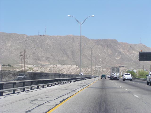
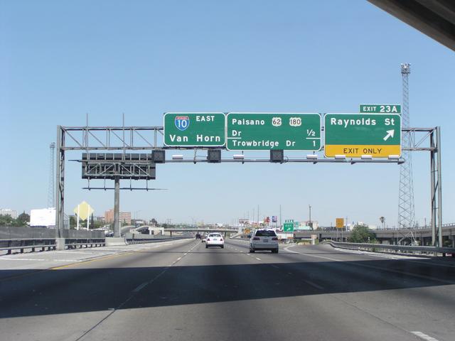
Coming up on El Paso. [2048x1536]
View across to Juarez, Mexico, from I-10. [2048x1536]
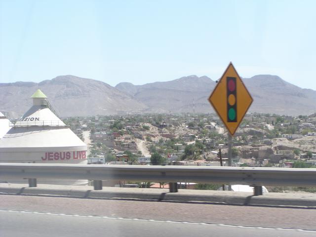
El Paso in the foreground, Juarez in the background. Hard to see from these pictures, but there seemed to be a big, smoky fire somewhere in Juarez. [2048x1536]
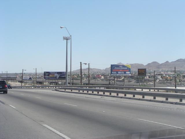
Continuing through El Paso. [2048x1536]

A rest area a little east of El Paso offers views across into Mexico. [2048x1536]
[2048x1536]
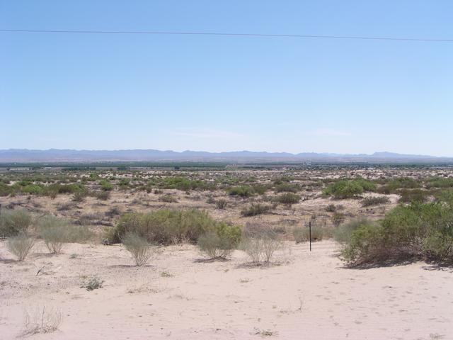
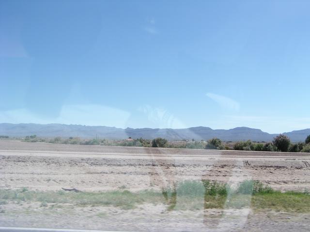
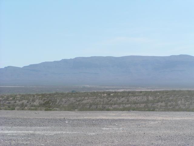
These mountains are all across the river in Mexico. [2048x1536]
[2048x1536]
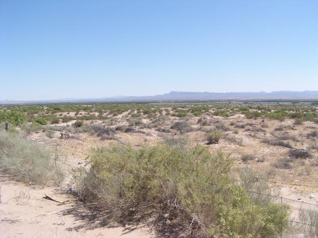
Looking back north to the US. [2048x1536]
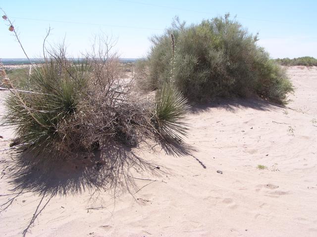
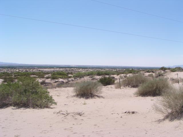
It's a very sandy desert here, and the plants all are surrounded by mounds of sand. [2048x1536]
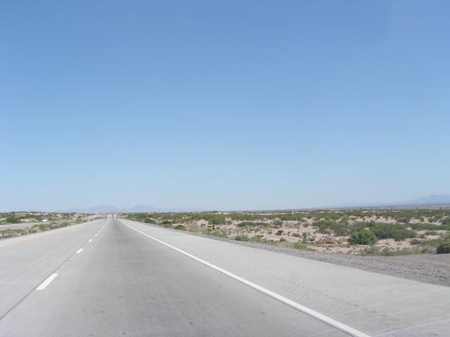
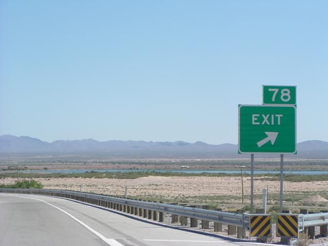
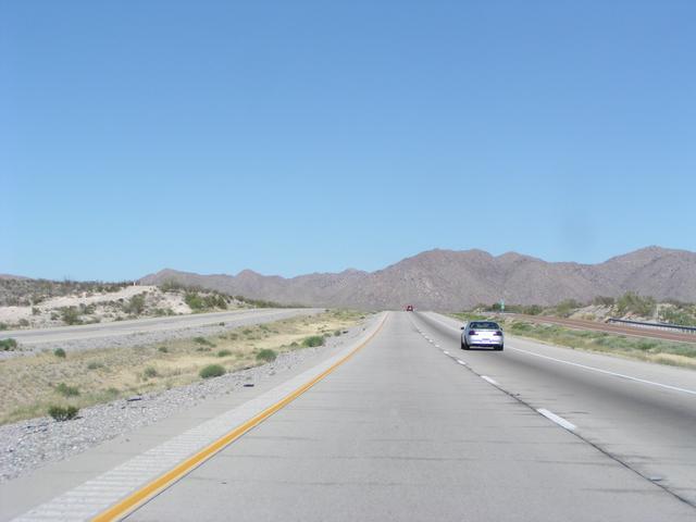
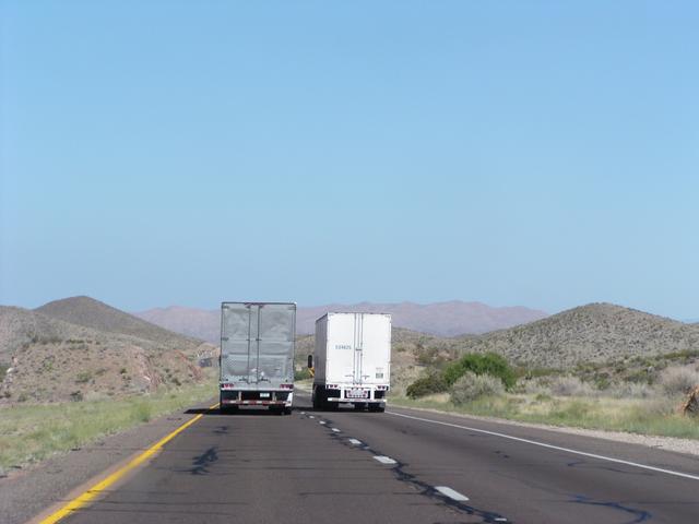
Continuing east. [2048x1536]
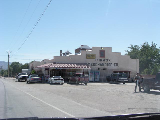
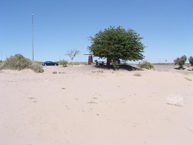
Quick stop to see Ft. Hancock, Texas. Here's the only store that seemed to be open. [2048x1536]
Fort Hancock. I think I've heard of it because they sometimes have the national high temperature. [2048x1536]
View across to Mexico again. It's surprisingly hard to get anywhere near the river. The road to a bridge to Mexico in Fort Hancock was well hidden behind a Port of Entry. I wasn't interested in driving into Mexico just to get a picture of the Rio Grande. [2048x1536]
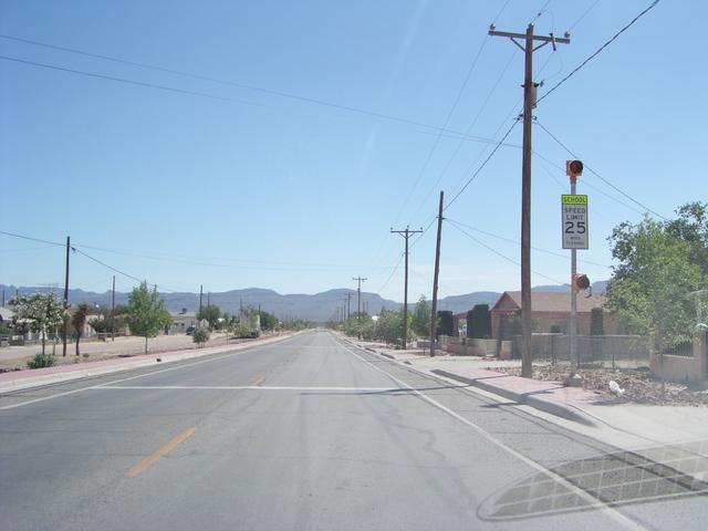
So, time to head back to I-10. [2048x1536]
Finally, the river is visible from the highway. [2048x1536]
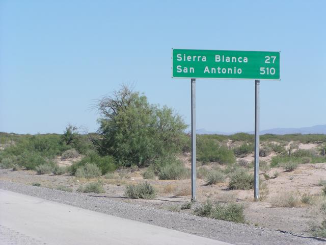
Texas likes to show off. The first San Antonio distance sign was almost 600 miles. [2048x1536]
One last attempt to drive toward the river without crossing it. At Esperanza. View from just off I-10. [2048x1536]
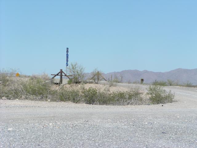
Turns out it's a gravel road for 2 miles into town. I decided that wasn't a good idea. [2048x1536]
I-10 is target practice here. [2048x1536]
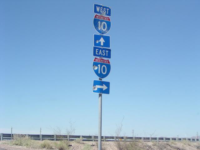
And now headed east away from the river and into those mountains. [2048x1536]
[2048x1536]
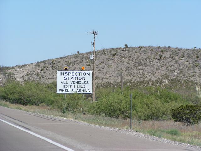
All traffic had to stop at one point to be checked out by the border patrol. It was probably about a 10-minute delay. Someone a few cars ahead of me must have been suspicious, because the line stopped for a few minutes. [2048x1536]
[2048x1536]
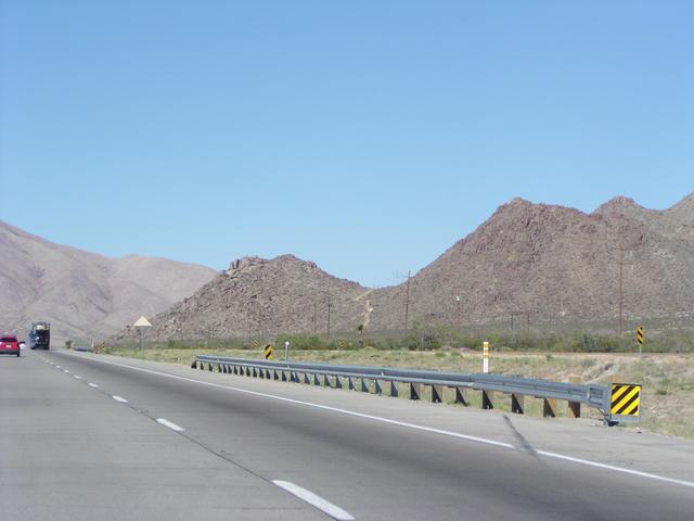
You don't usually see that on the interstates. There are some at-grade crossings on this part of I-10. It's so remote, it really doesn't matter. [2048x1536]
Soon, it got to be an hour later. [2048x1536]
[2048x1536]
[2048x1536]
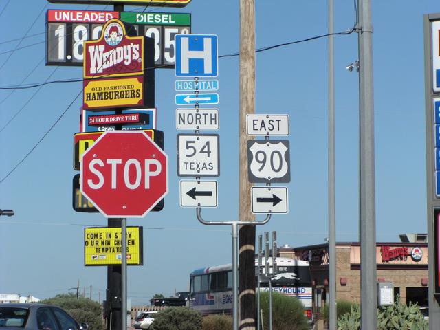
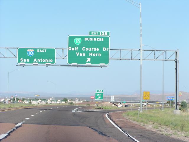
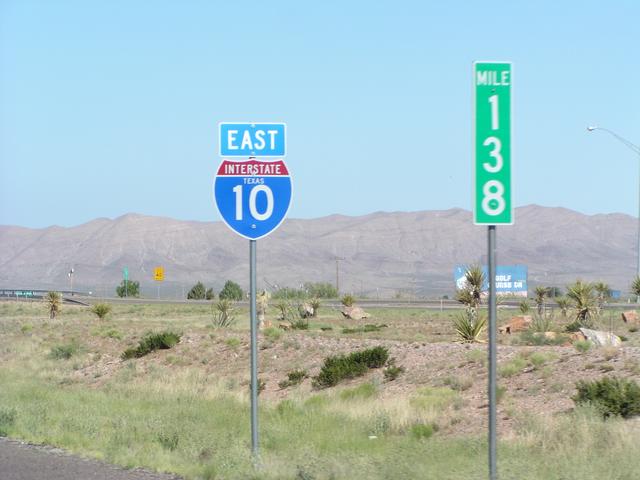
Quick stop at Van Horn, which is the western terminus of US 90. [2048x1536]
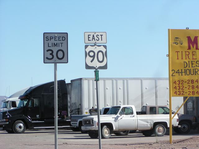
First US 90 shield. I didn't actually take US 90, though, just got back on the interstate. [2048x1536]
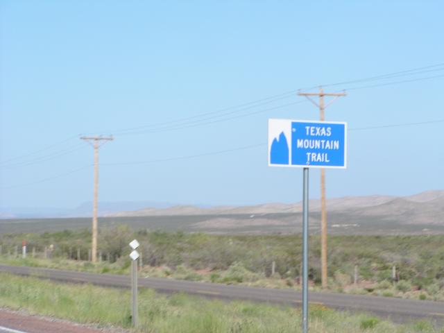
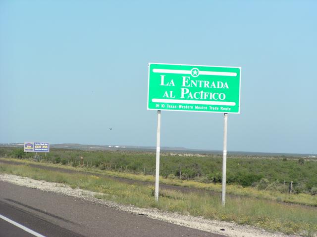
I-10 is the Texas Mountain Trail for a while. Later, the trail heads south toward Alpine. [2048x1536]
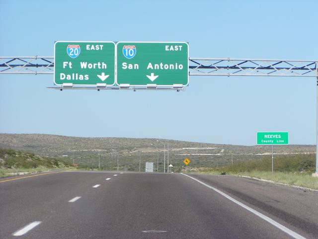
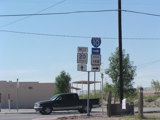
I-20 splits off in west Texas. Not to be seen again on this trip until South Carolina.. [2048x1536]
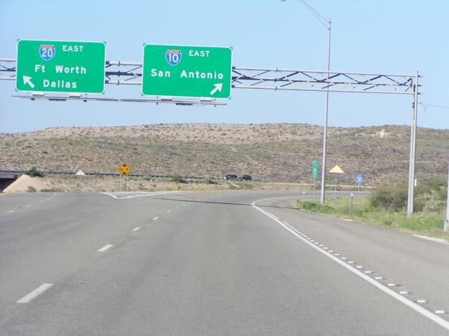
There it goes. [2048x1536]
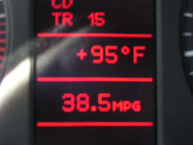
And it was a warm late afternoon.
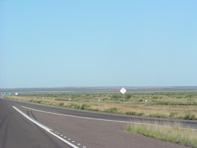
The terrain got flatter and the desert vegetation seemed to get more dense and grassy. [2048x1536]
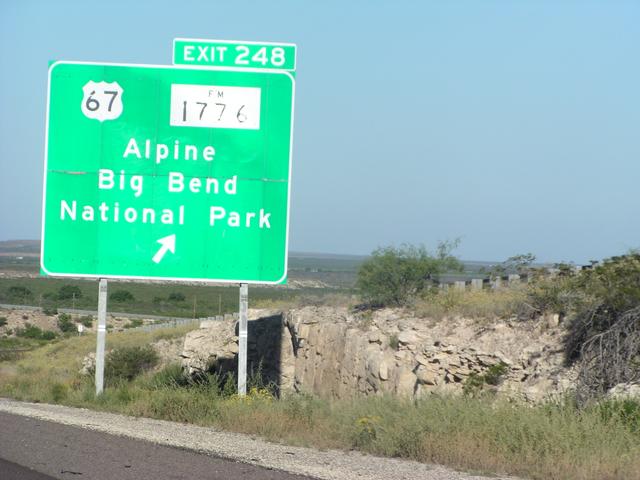
No time for Big Bend this time. [2048x1536]
[2048x1536]
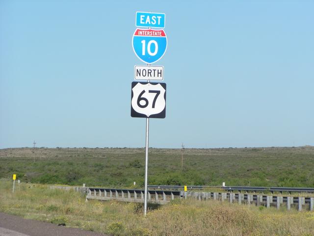
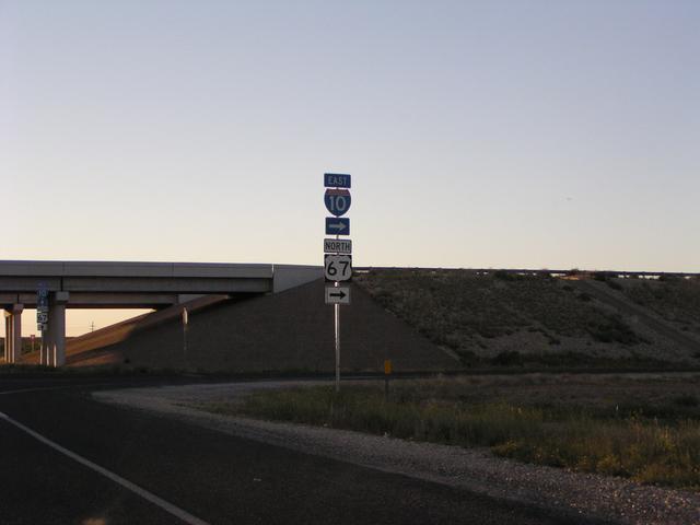
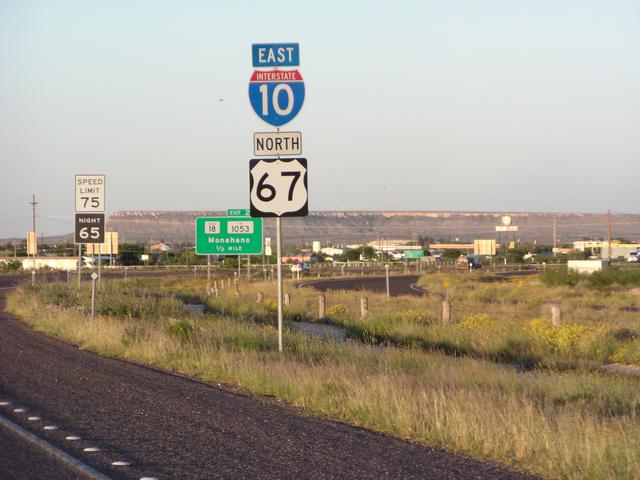
US 67 joins I-10 for a while. [2048x1536]
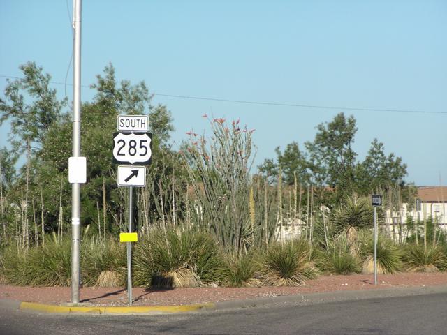
Looking for dinner in Fort Stockton, found US 285 signs. [2048x1536]
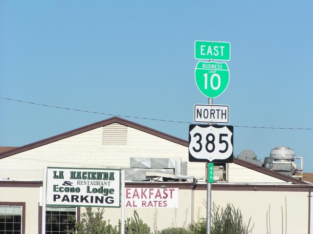
..and US 385. [2048x1536]
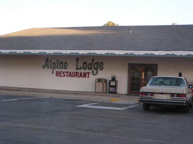
And eventually, a restaurant that was (1) not a fast food chain, and (2) open. It wasn't bad. [2048x1536]
Back onto I-10 after dinner. [2048x1536]
Heading out of Fort Stockton, after which it got too dark for pictures. [2048x1536]