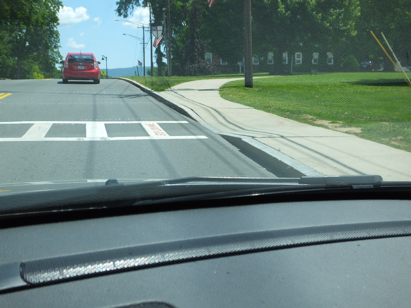
Williamstown has added 'Stop Look Wave' at their crosswalks. [Crop/Zoom: 683x639]
![[Crop/Zoom: 683x639]](DSCF0006-close.jpg)
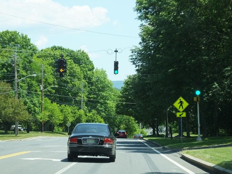
There is now a flashing yellow arrow at the Cole Ave. intersection on Route 2.
These markers are new since my last trip out Route 2. [Crop/Zoom: 636x760]
![[Crop/Zoom: 636x760]](DSCF0008-close.jpg)
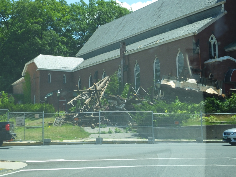
Church demolition in North Adams. [Larger: 2304x1728]
![[Larger: 2304x1728]](DSCF0009-2304.jpg)
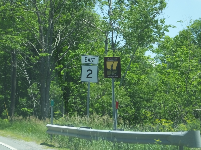
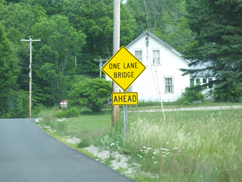
I think this is in the Town of Florida. [Crop/Zoom: 803x641]
![[Crop/Zoom: 803x641]](DSCF0010-close.jpg)
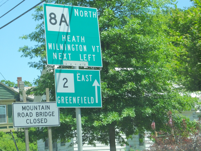
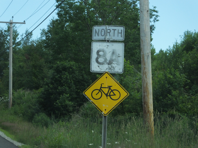
In Charlemont, where I turned north on 8A. [Crop/Zoom: 1536x2563]
![[Crop/Zoom: 1536x2563]](DSCF0011-close.jpg)
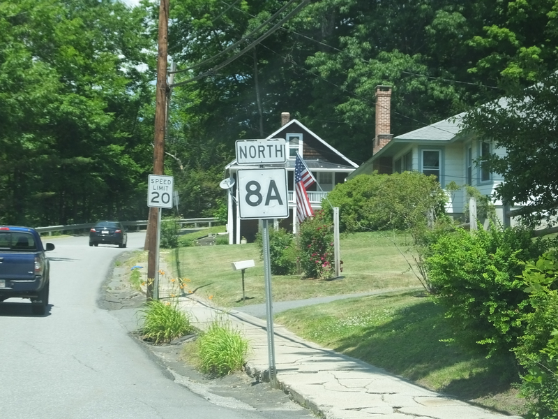
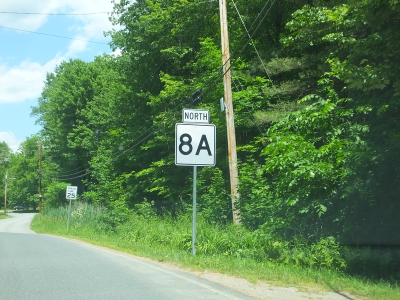
Onto 8A in Charlemont. [Crop/Zoom: 483x686]
![[Crop/Zoom: 483x686]](DSCF0012-close.jpg)
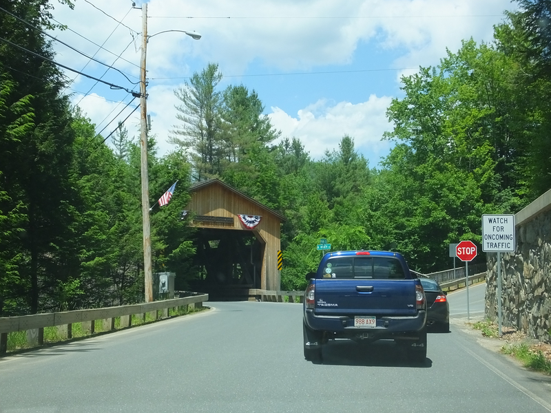
On the way up the hill our of Charlemont, 8A uses a covered bridge. [Larger: 1632x1224]
![[Larger: 1632x1224]](DSCF0013-1632.jpg)
[Crop/Zoom: 534x654]
![[Crop/Zoom: 534x654]](DSCF0014-close.jpg)
[Crop/Zoom: 1011x950]
![[Crop/Zoom: 1011x950]](DSCF0015-close.jpg)
[Crop/Zoom: 1088x1533]
![[Crop/Zoom: 1088x1533]](DSCF0016-close.jpg)
[Crop/Zoom: 438x662]
![[Crop/Zoom: 438x662]](DSCF0017-close.jpg)
[Crop/Zoom: 998x1343]
![[Crop/Zoom: 998x1343]](DSCF0018-close.jpg)
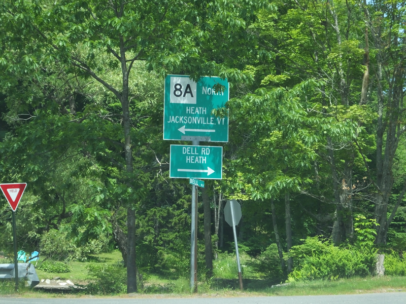
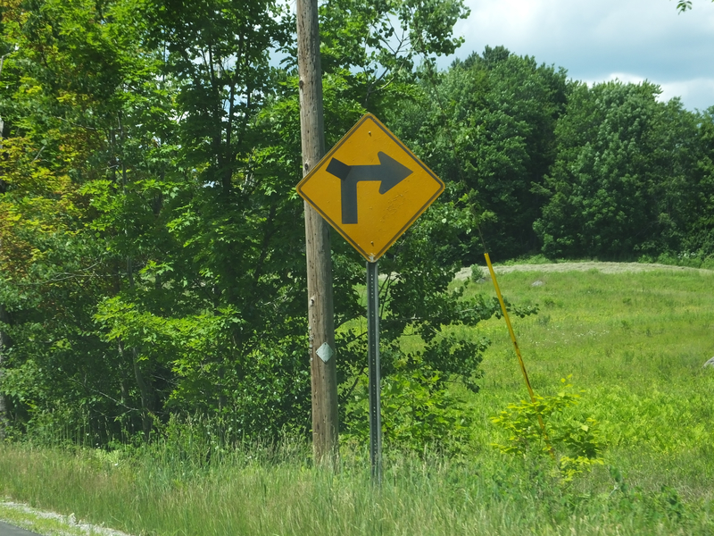
8A really winds its way around on its way to Vermont. [Crop/Zoom: 1260x2251]
![[Crop/Zoom: 1260x2251]](DSCF0019-close.jpg)
[Crop/Zoom: 723x734]
![[Crop/Zoom: 723x734]](DSCF0020-close.jpg)
[Crop/Zoom: 706x1145]
![[Crop/Zoom: 706x1145]](DSCF0021-close.jpg)
Looks like the side road indicator was taped onto this one. [Crop/Zoom: 1087x1364]
![[Crop/Zoom: 1087x1364]](DSCF0023-close.jpg)
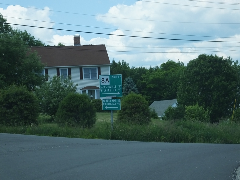
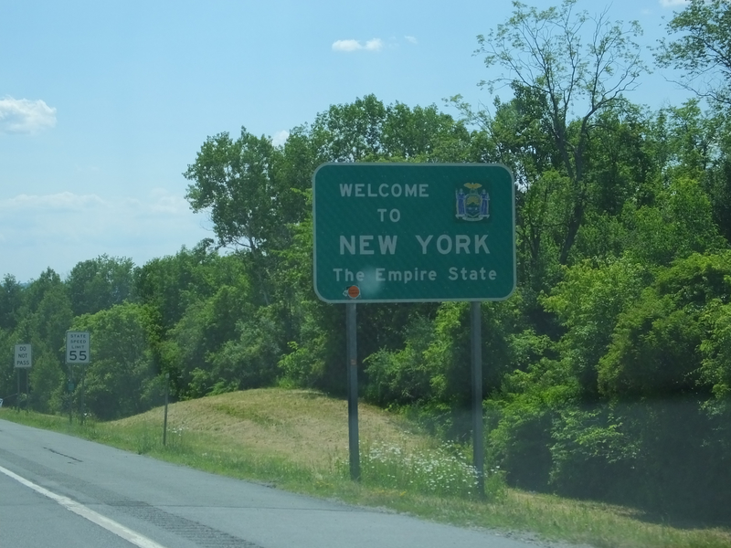
Arrival in Vermont, which as far as I could tell, was not acknowledged by Vermont. [Crop/Zoom: 720x624]
![[Crop/Zoom: 720x624]](DSCF0025-close.jpg)
At the northern end of Vermont 8A. [Crop/Zoom: 529x682]
![[Crop/Zoom: 529x682]](DSCF0026-close.jpg)
Looking back at 8A's first southbound shield. [Crop/Zoom: 774x1402]
![[Crop/Zoom: 774x1402]](DSCF0027-close.jpg)
[Crop/Zoom: 667x977]
![[Crop/Zoom: 667x977]](DSCF0028-close.jpg)
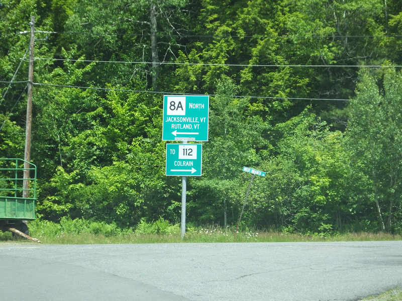
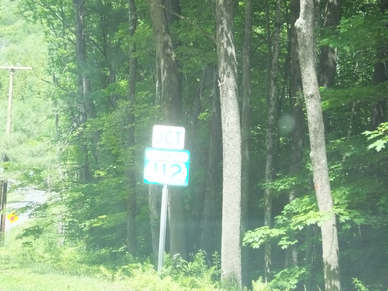
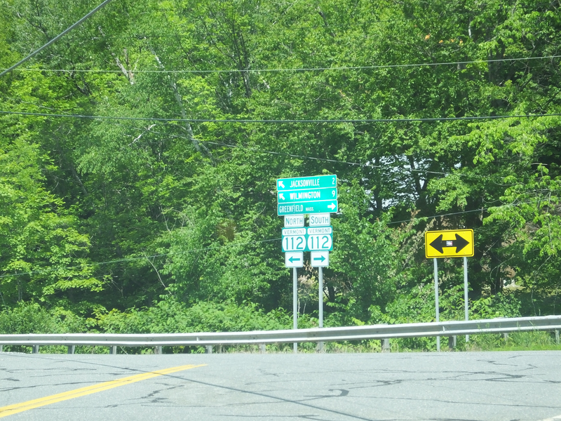
Now at Vermont 112's northern terminus in Jacksonville. [Crop/Zoom: 1177x824]
![[Crop/Zoom: 1177x824]](DSCF0030-close.jpg)
[Crop/Zoom: 2477x1795]
![[Crop/Zoom: 2477x1795]](DSCF0031-close.jpg)
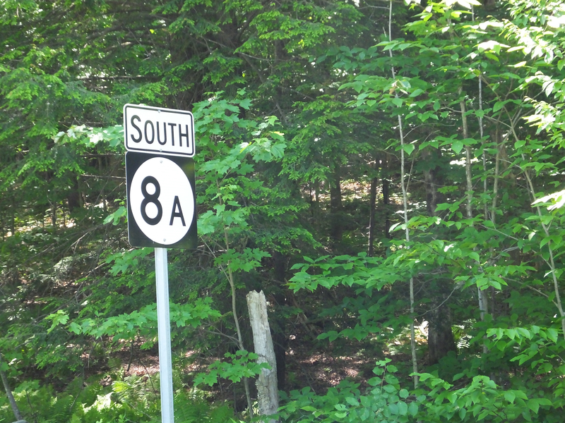
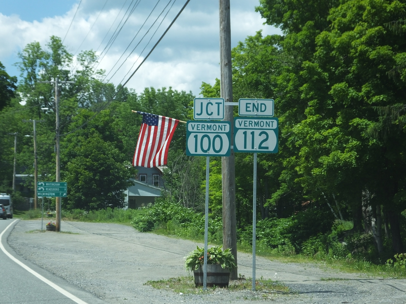
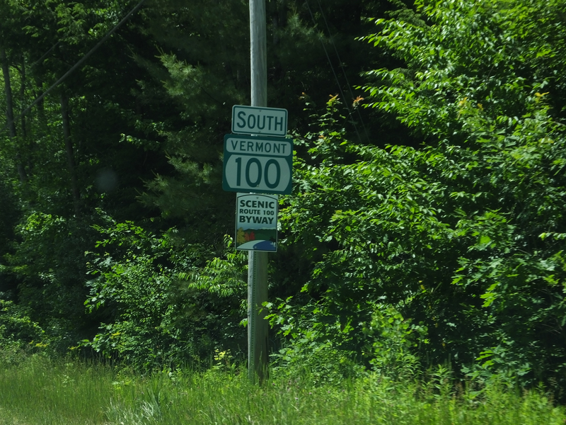
Now on Vermont 100 South out of Jacksonville. [Crop/Zoom: 606x664]
![[Crop/Zoom: 606x664]](DSCF0032-close.jpg)
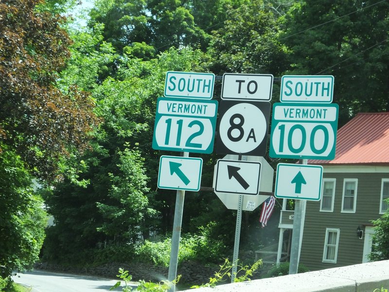
[Crop/Zoom: 437x374]
![[Crop/Zoom: 437x374]](DSCF0033-close.jpg)
[Crop/Zoom: 1283x1184]
![[Crop/Zoom: 1283x1184]](DSCF0034-close.jpg)
[Crop/Zoom: 795x1443]
![[Crop/Zoom: 795x1443]](DSCF0035-close.jpg)
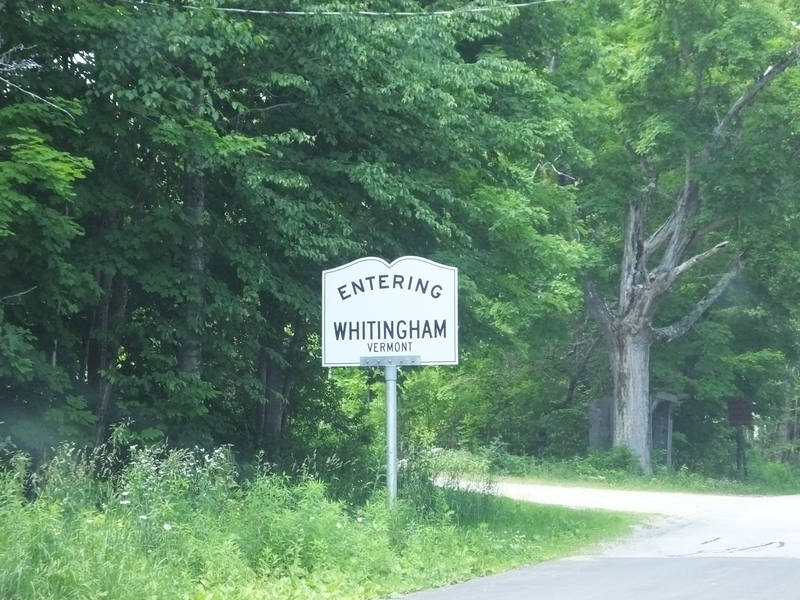
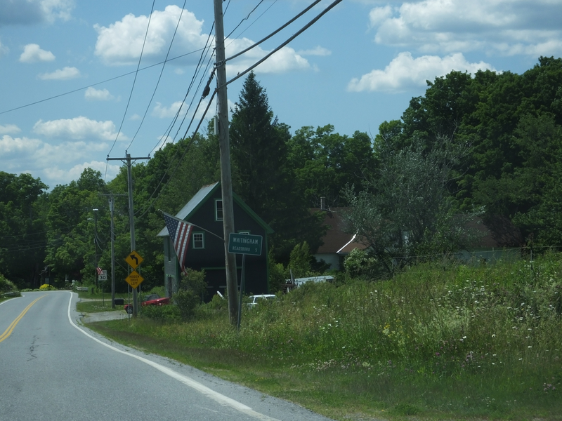
Whitingham. [Larger: 2304x1728]
![[Larger: 2304x1728]](DSCF0036-2304.jpg)
Whitingham. [Crop/Zoom: 1562x1581]
![[Crop/Zoom: 1562x1581]](DSCF0037-close.jpg)
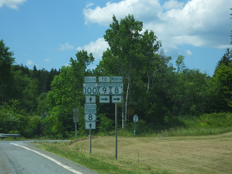
Back to roads I'd traveled many times before. [Crop/Zoom: 1035x1348]
![[Crop/Zoom: 1035x1348]](DSCF0038-close.jpg)
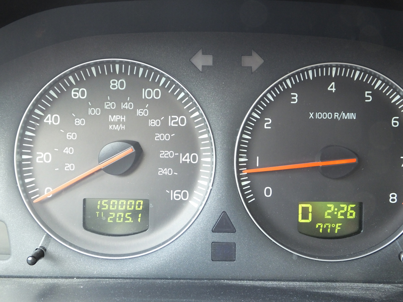
The S60 turned 150,000 miles just south of Vermont 8's northern end. [Larger: 2304x1728]
![[Larger: 2304x1728]](DSCF0040-2304.jpg)
Coming up on the eastern side of the Bennington Bypass. [Crop/Zoom: 714x733]
![[Crop/Zoom: 714x733]](DSCF0041-close.jpg)
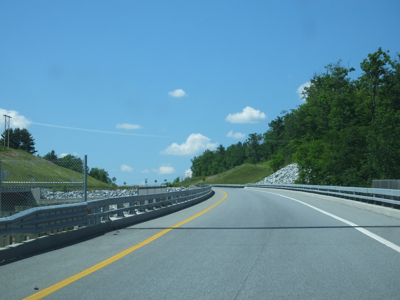
The Bennington Bypass near its eastern end. [Larger: 2304x1728]
![[Larger: 2304x1728]](DSCF0042-2304.jpg)
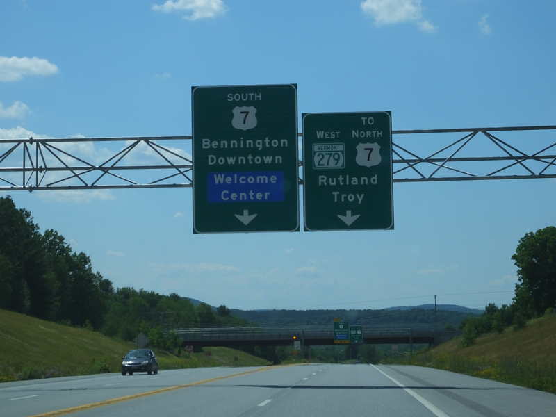
[Crop/Zoom: 1925x1535]
![[Crop/Zoom: 1925x1535]](DSCF0043-close.jpg)
[Crop/Zoom: 1068x799]
![[Crop/Zoom: 1068x799]](DSCF0044-close.jpg)