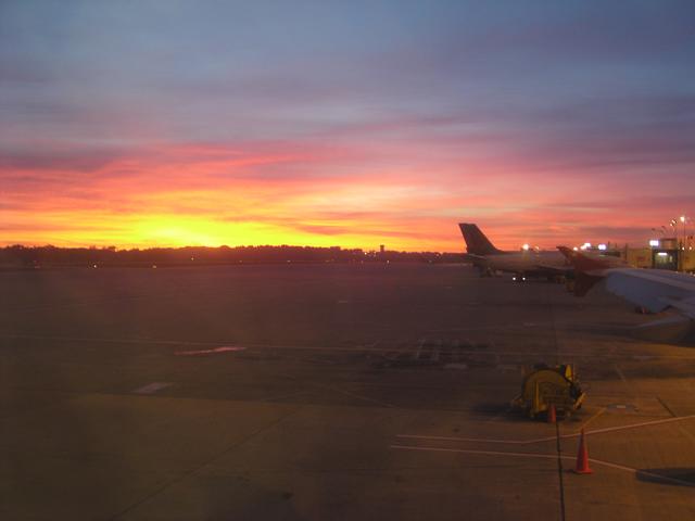
We left early: the sun is about to rise as we're parked at the gate in Minneapolis. [2048x1536]
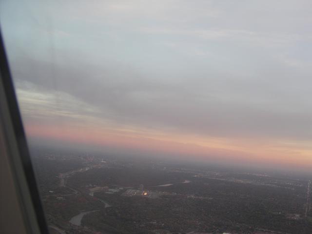
Looking down at the Twin Cities area just after takeoff. [2048x1536]
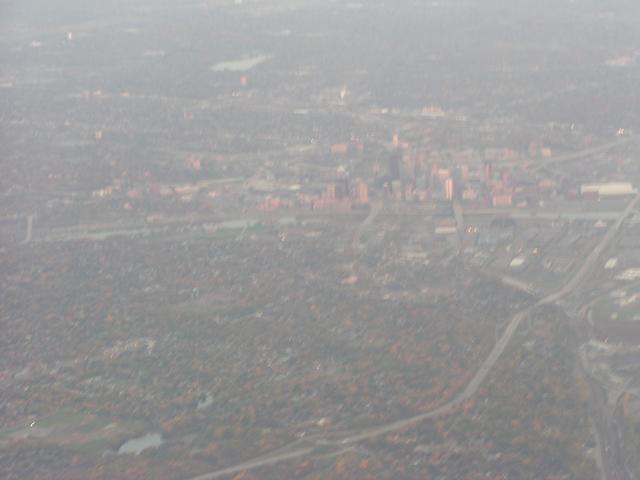
Looking at the western part of St. Paul, Minnesota. [2048x1536]
St. Paul. [2048x1536]
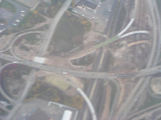
The construction we drove through on US 10 and US 61 on Sunday. [2048x1536]
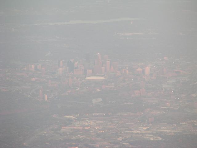
Minneapolis. [2048x1536]
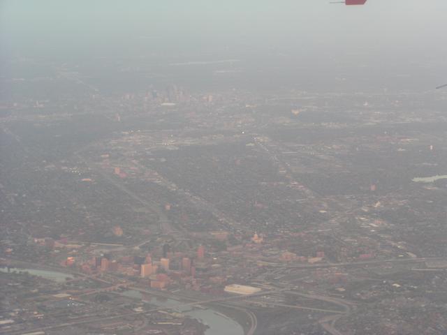
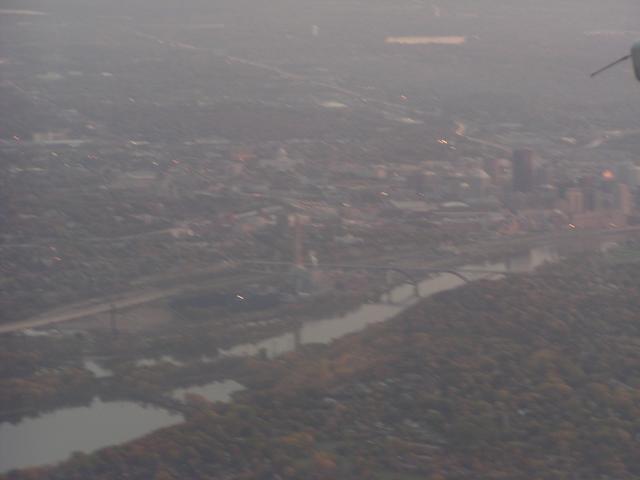
Minneapolis in the distance and St. Paul up close. [2048x1536]
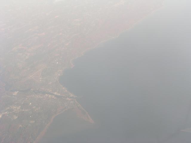
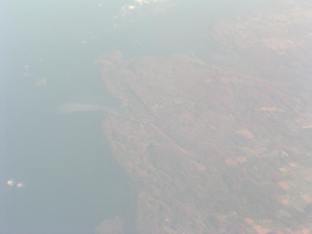
Jumping ahead, now leaving the Wisconsin coast. I believe this is Marinette, Wisconsin, and Menominee, Michigan, along Green Bay. [2048x1536]
Part of Door County, Wisconsin. [2048x1536]
More Door County. [2048x1536]

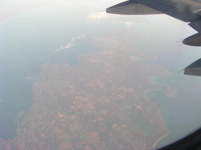
Northern part of Door County. Washington Island is in the center right. The inlet is Green Bay, and the main body of water is Lake Michigan. [2048x1536]
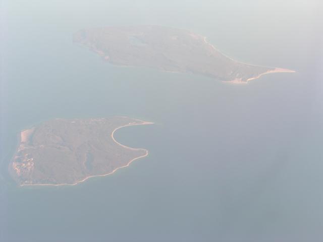
Now coming up on the coast of the northern part of lower Michigan. These are the Manitou Islans, part of Sleeping Bear Dunes National Lakeshore. [2048x1536]
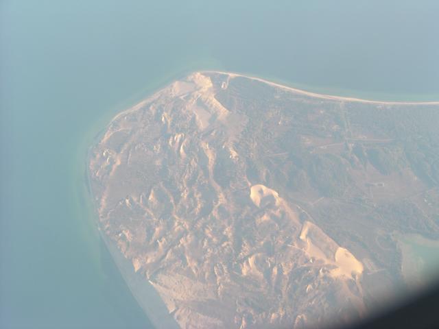
Sleeping Bear Dunes on the mainland of Michigan. [2048x1536]
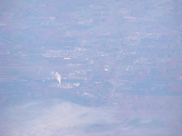
Somewhere in central Michigan. It could be Gaylord. At least the road in the middle is I-75. [2048x1536]
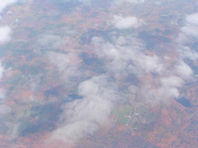
Now in the east, the clouds break up over eastern New York somewhere. [2048x1536]
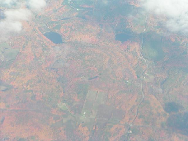
Good view of the foliage in eastern New York or western New England. [2048x1536]