This one is around Gaylord, it's hard to read but it says that I-75 North is crossing the 45th Parallel. [1024x768][2048x1536]
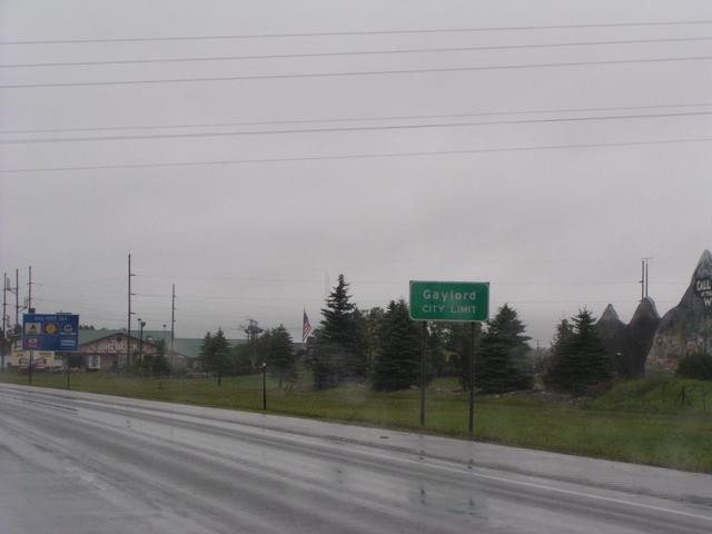
The Gaylord city limit on I-75 North. [1024x768][2048x1536]
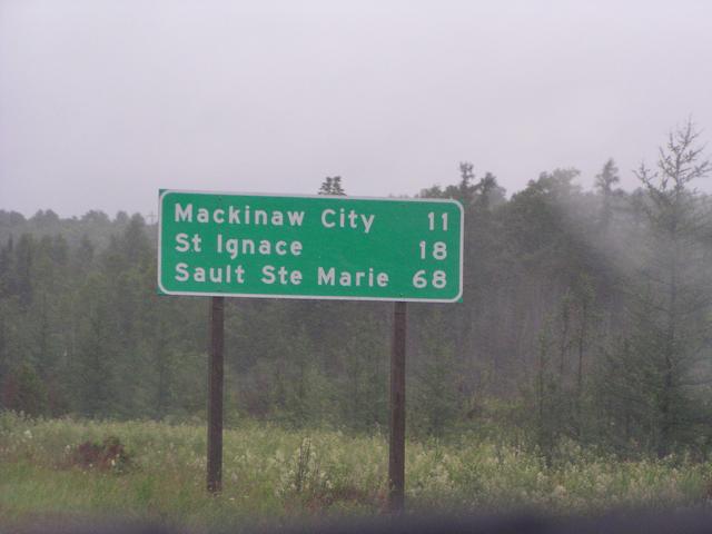
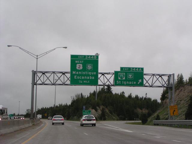
Destinations approaching the northern end of the Lower Peninsula. [1024x768][2048x1536]
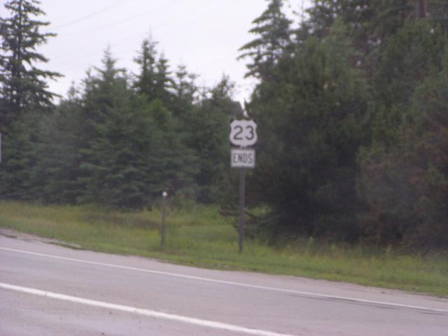
The end of US 23 where it merges onto I-75 North in Mackinaw City. [1024x768][2048x1536]
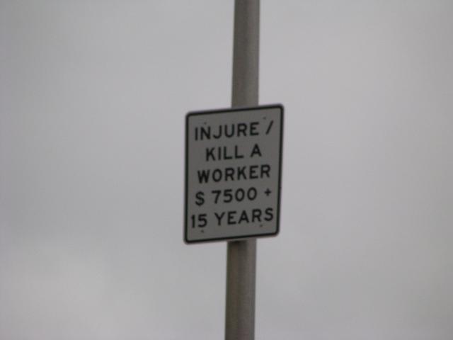
Michigan puts these before all of their work zones. This one is taken from the parking lot of the visitors center under I-75 at the south end of the Mackinac Bridge. [1024x768][2048x1536]
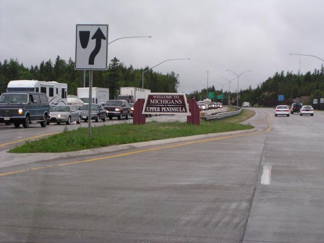
We made it to the UP. [1024x768][2048x1536]
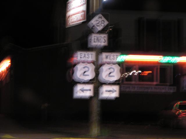
US 2 starts here. We'll see a lot of it later. [1024x768][2048x1536]
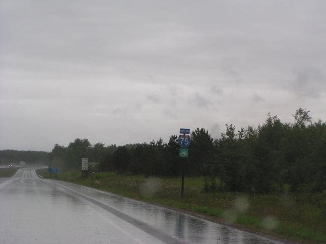
I-75 is also the Lake Huron Circle Tour here. [1024x768][2048x1536]
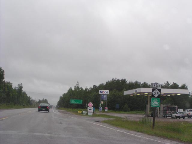
After Sault Ste. Marie, we backtracked and got onto M-28 West, which is also the Lake Superior Circle Tour, here just west of I-75. [1024x768][2048x1536]
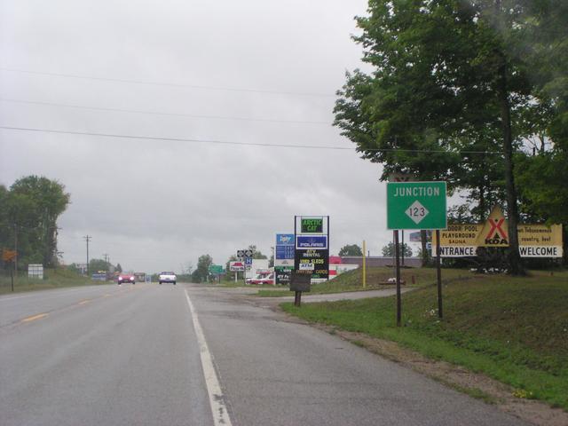
M-123 would take us up to some interesting waterfalls along the Tahguamennon River. No time, so next time. [1024x768][2048x1536]
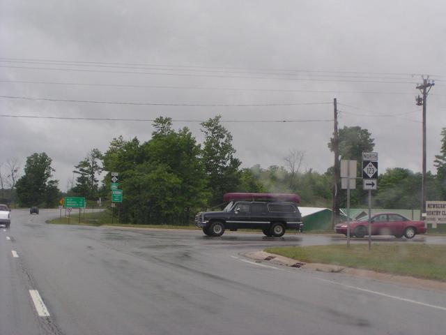
[1024x768][2048x1536]
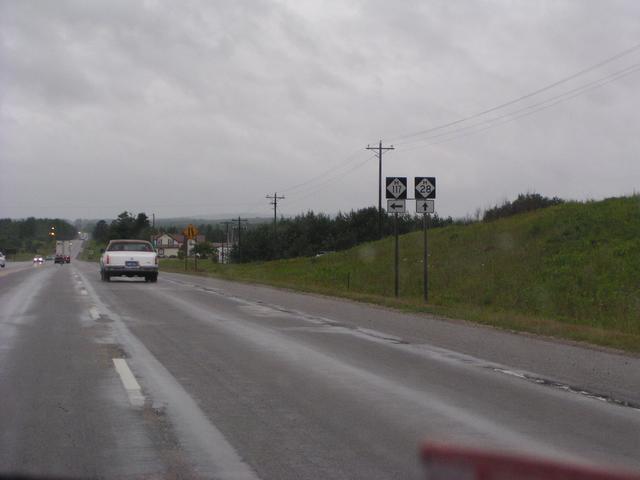
M-117 because it's there. [1024x768][2048x1536]
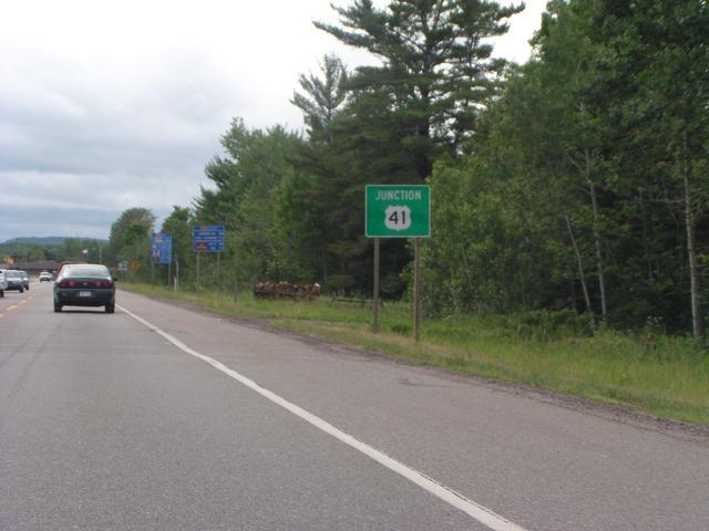
We made it to Cathy's street, US 41. [1024x768][2048x1536]
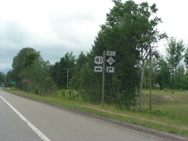
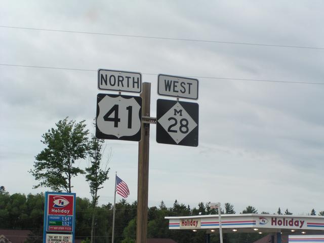
M-28 and US 41 multiplex for a while. [1024x768][2048x1536]
Yep. [1024x768][2048x1536]
The Lake Superior Circle Tour joins in for a while. [1024x768][2048x1536]

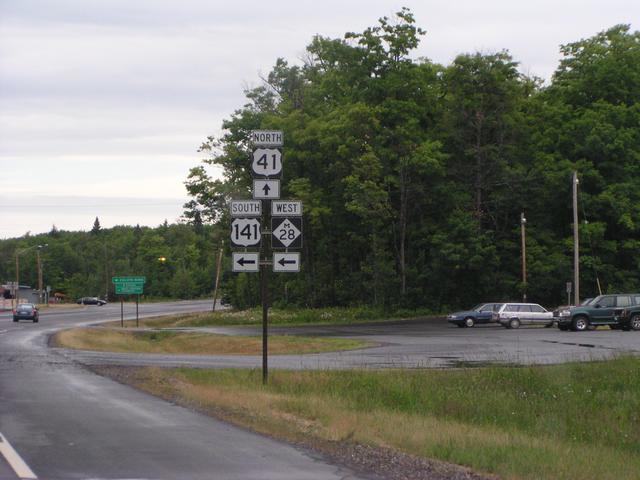
Getting to US 141's northern terminus. [1024x768][2048x1536]
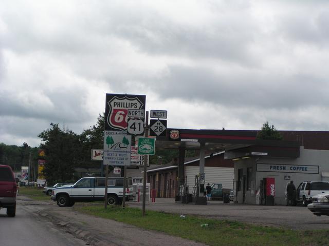
There it is. We leave M-28 for a while. [1024x768][2048x1536]
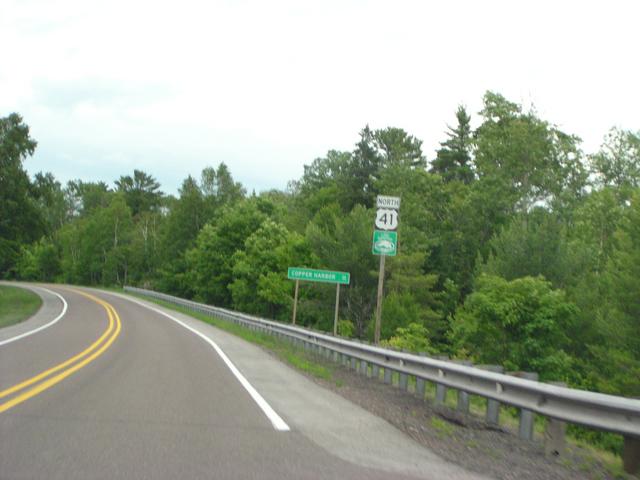
Neading north on US 41 out of Houghton. [1024x768][2048x1536]
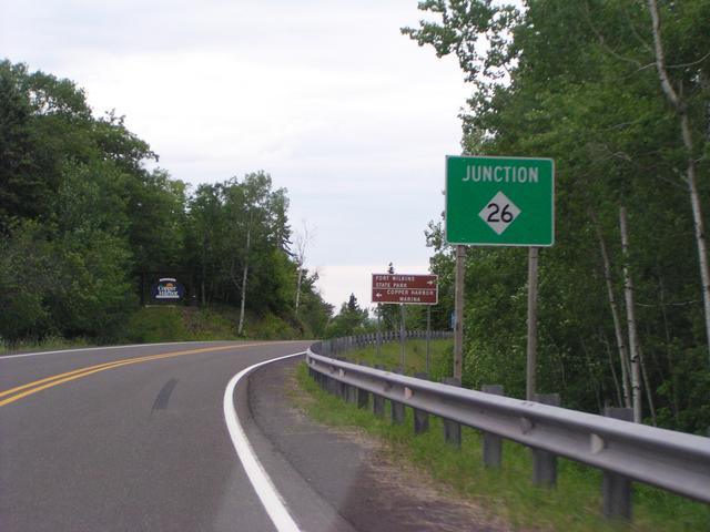
M-26/US 41 split. Two ways from here to Copper Harbor. [1024x768][2048x1536]
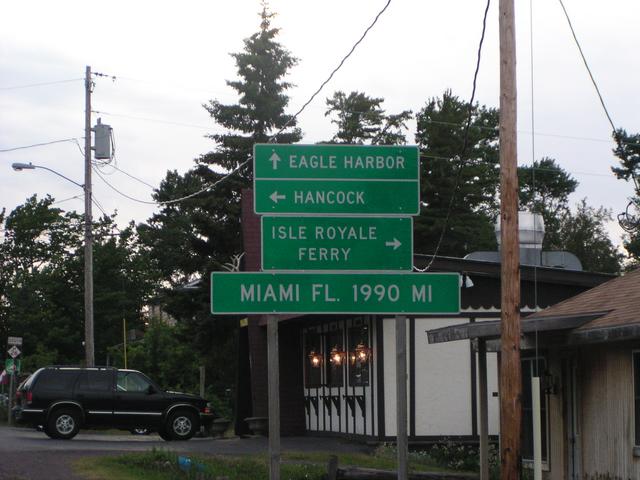
Excellent! Other end US 41 stuff on its own page. [1024x768][2048x1536]
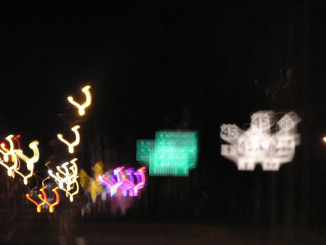
Our only shot at a US 45 sheild. [1024x768][2048x1536]
M-28 Ends in a blurred mess. [1024x768][2048x1536]