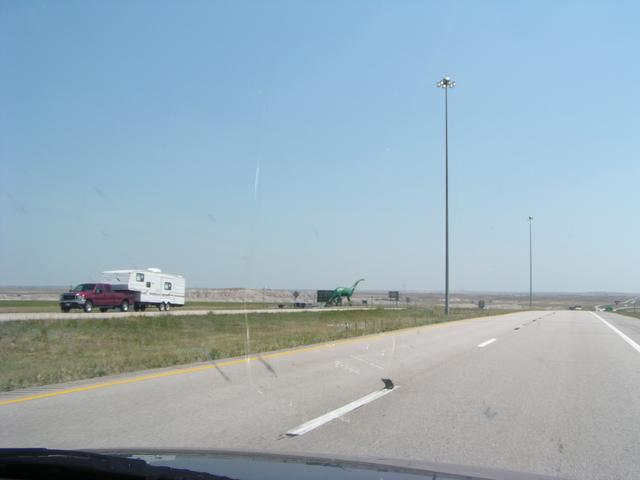
More wildlife. A bronto? [1024x768][2048x1536]
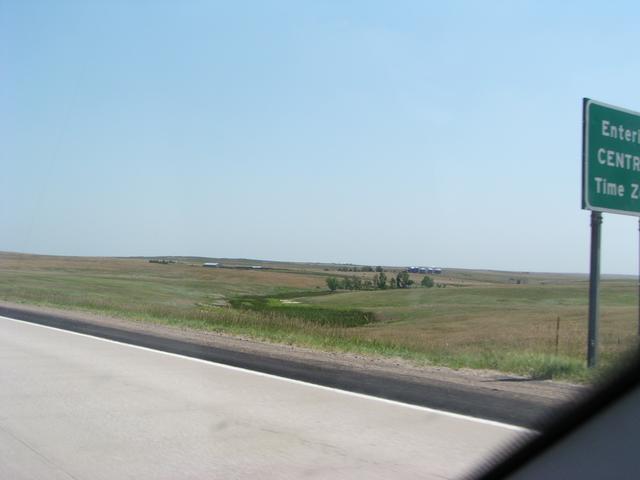
Supposed to be a picture of the sign for the Central Time Zone, but it ends up just showing the rolling hills here near Kadoka. [1024x768][2048x1536]
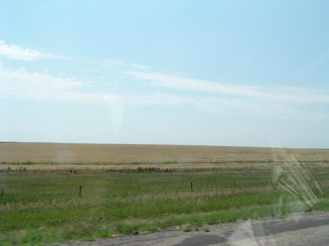
Some of the flatness as we are starting to approach the Missouri Valley. [1024x768][2048x1536]
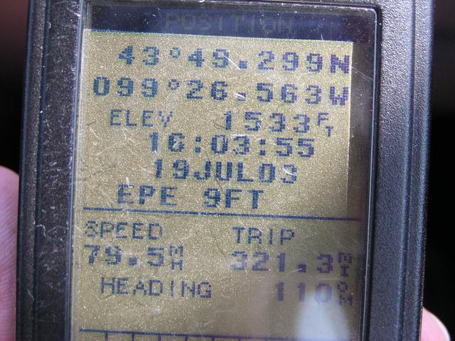
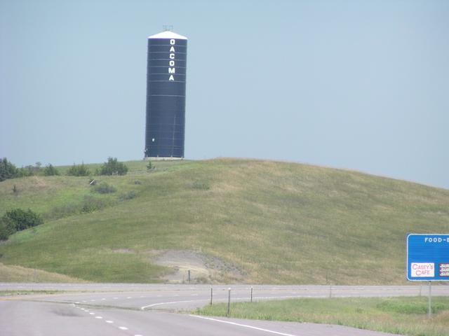
First of several attempts to take the GPS showing an elevation meaningful to Mass Pike travellers, here in Oacoma. I missed it by a lot. I was looking for 1729.
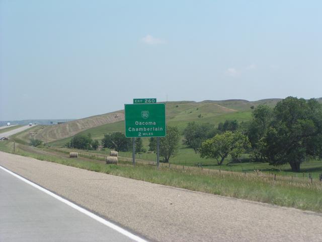
Why Oacoma? Travel between Exits 2 and 3 of the Mass Pike. [1024x768][2048x1536]
Down into the Missouri Valley. [1024x768][2048x1536]
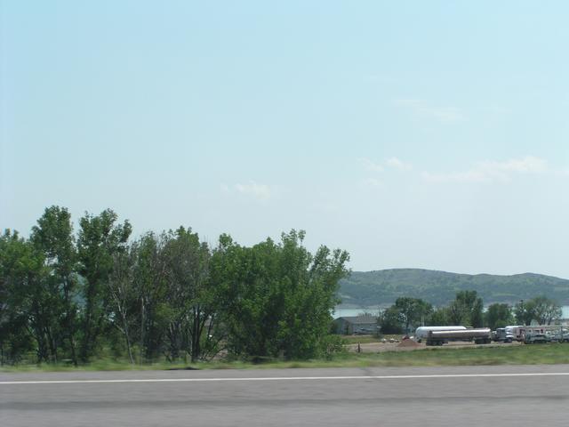
I probably took a picture of this on several other trips.. [1024x768][2048x1536]