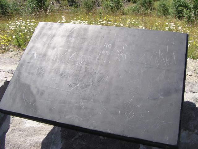
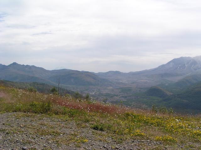
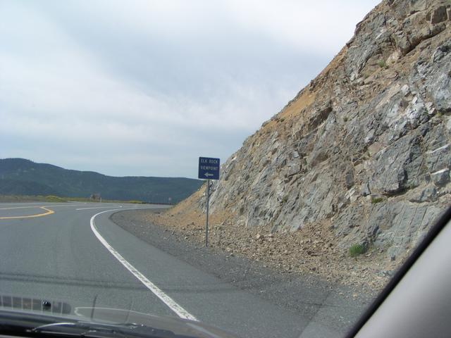
Nothing to see here, at this turnoff from the main road back from Johnston Ridge, at least according to this. [2048x1536]

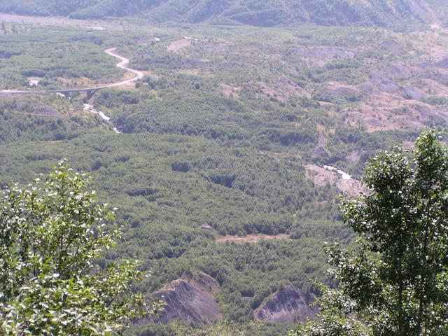
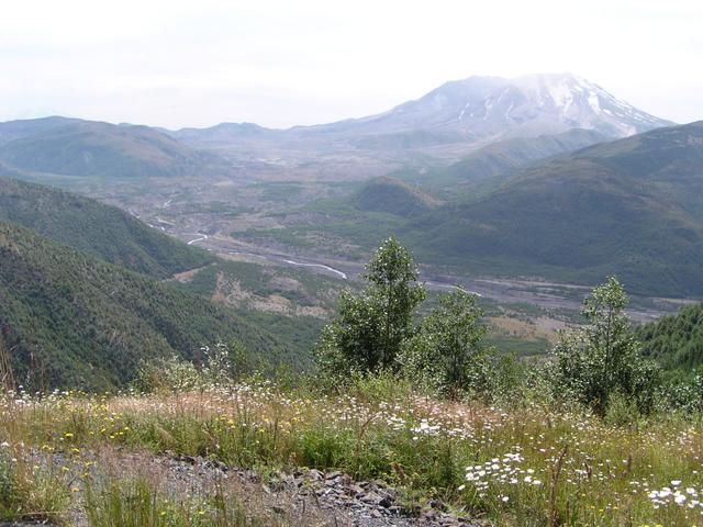
There's a good view down the river, though. [2048x1536]
[2048x1536]
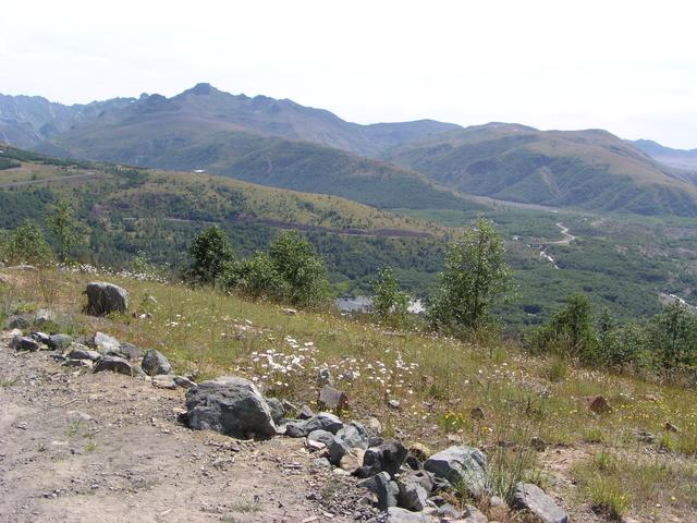
There are a number of small lakes. [2048x1536]
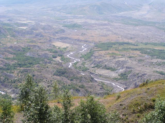
Zoom in on the river. [2048x1536]
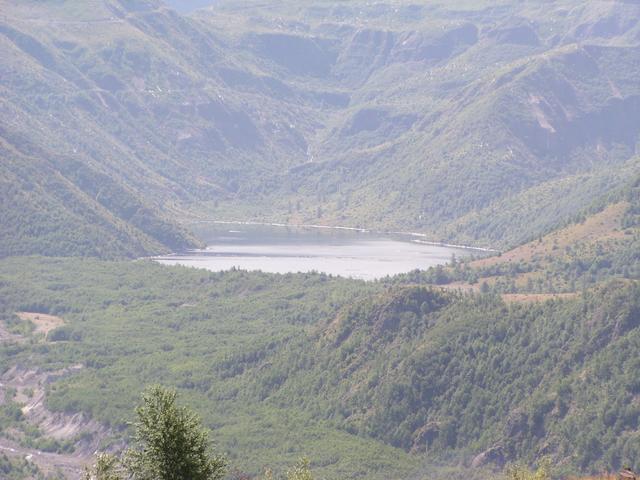
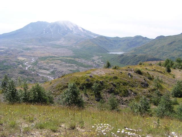
Zoom in on the lake to the right of the volcano. This looks like one of the lakes that was created when the mud flow clogged the river. [2048x1536]
[2048x1536]
[2048x1536]
View back toward the road to Johnston Ridge. [2048x1536]
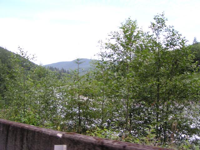
On the way out.. [2048x1536]
[2048x1536]
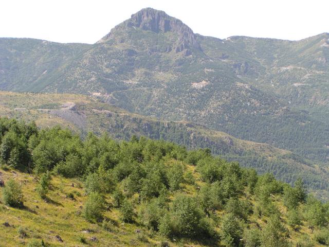
Another look back at the volcano. [2048x1536]
[2048x1536]
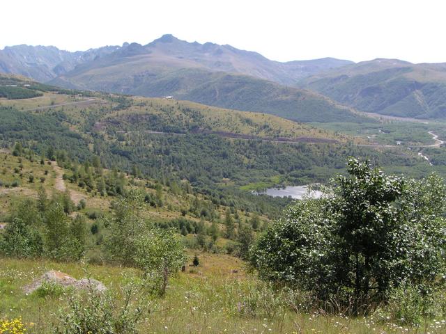
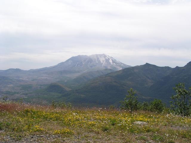
The last few pictures were from this viewpoint. [2048x1536]
[2048x1536]
[2048x1536]
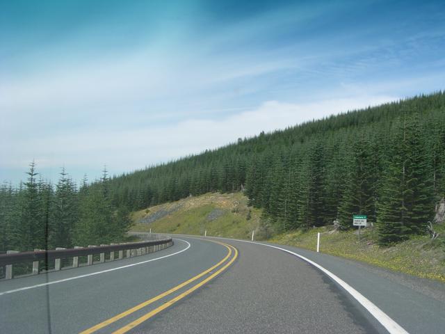
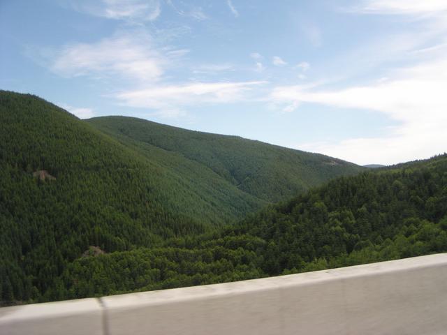
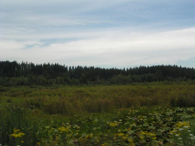
Out of the protected land and into logging country. [2048x1536]
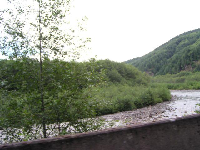
View from one of the bridges on the way out. [2048x1536]
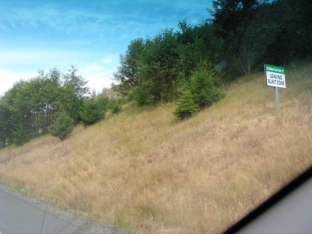
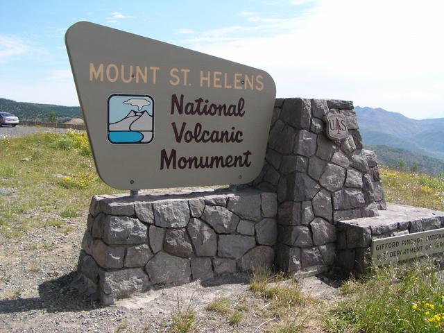
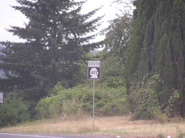
I don't know if this means the Mt. St. Helens blast zone, but it's in about the right place. [2048x1536]
[2048x1536]
[2048x1536]

Not a very good one.. [2048x1536]
[2048x1536]
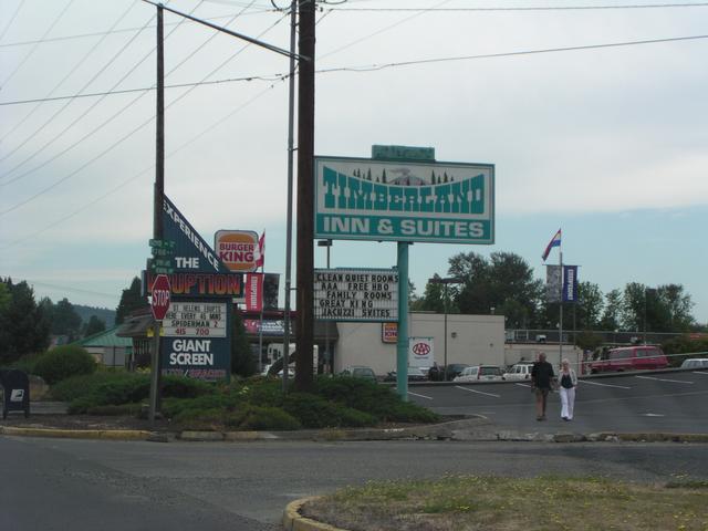
Back at the town at the I-5 interchange. Giant screen! [2048x1536]

Giant eruption film! [2048x1536]
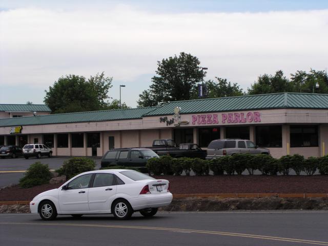
We had lunch at this pizza parlor back in 2000. [2048x1536]
[2048x1536]

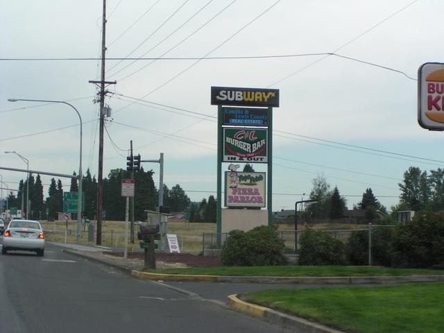
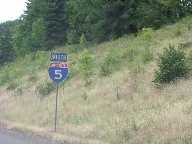
Getting back on the interstate. [2048x1536]
[2048x1536]
[2048x1536]