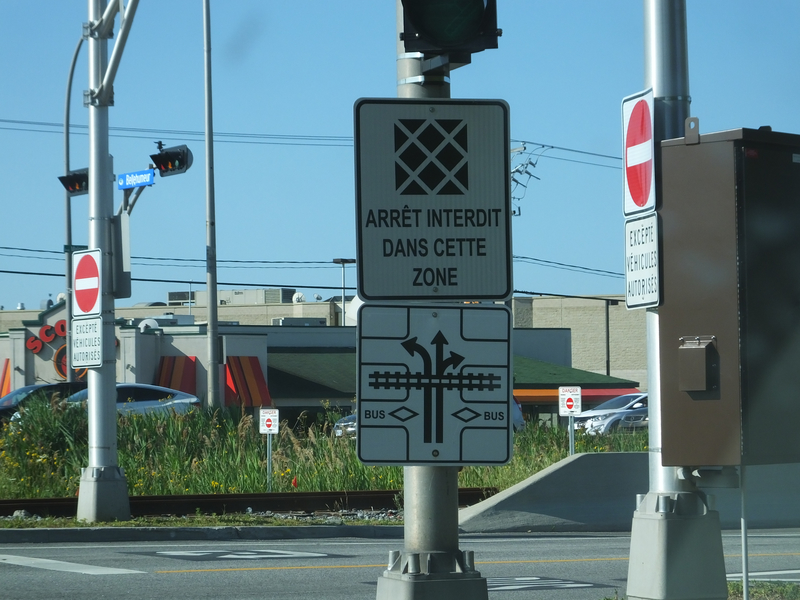
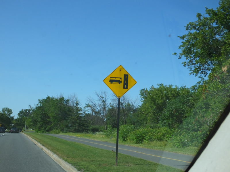
A sign warning of bus-only lanes in Gatineau. [Crop/Zoom: 1082x2228]
![[Crop/Zoom: 1082x2228]](DSCF0001-close.jpg)
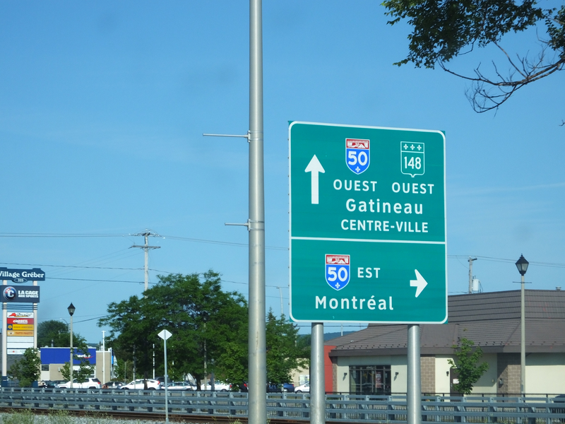
[Crop/Zoom: 1478x1820]
![[Crop/Zoom: 1478x1820]](DSCF0002-close.jpg)
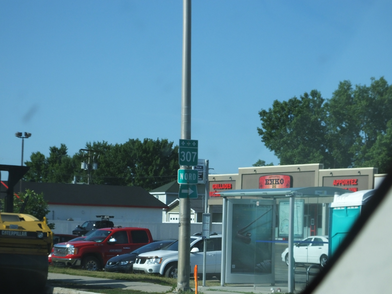
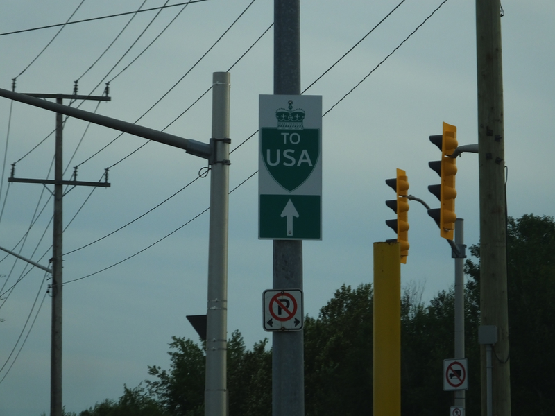
[Crop/Zoom: 388x816]
![[Crop/Zoom: 388x816]](DSCF0003-close.jpg)
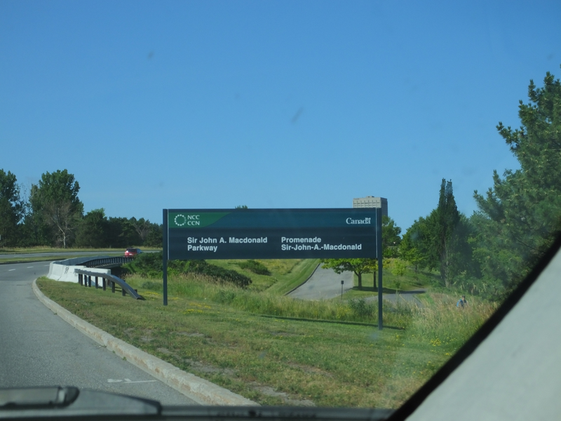
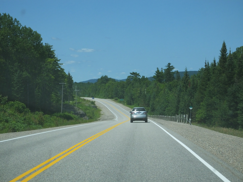
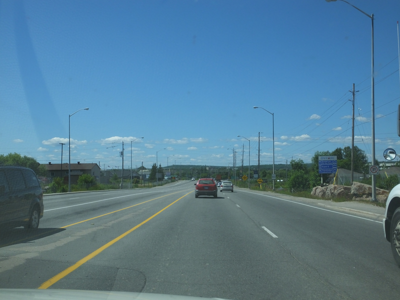
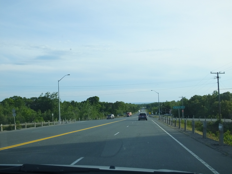
Back in Ontario, we start our ride up the Ottawa River valley. [Crop/Zoom: 2105x1229]
![[Crop/Zoom: 2105x1229]](DSCF0004-close.jpg)
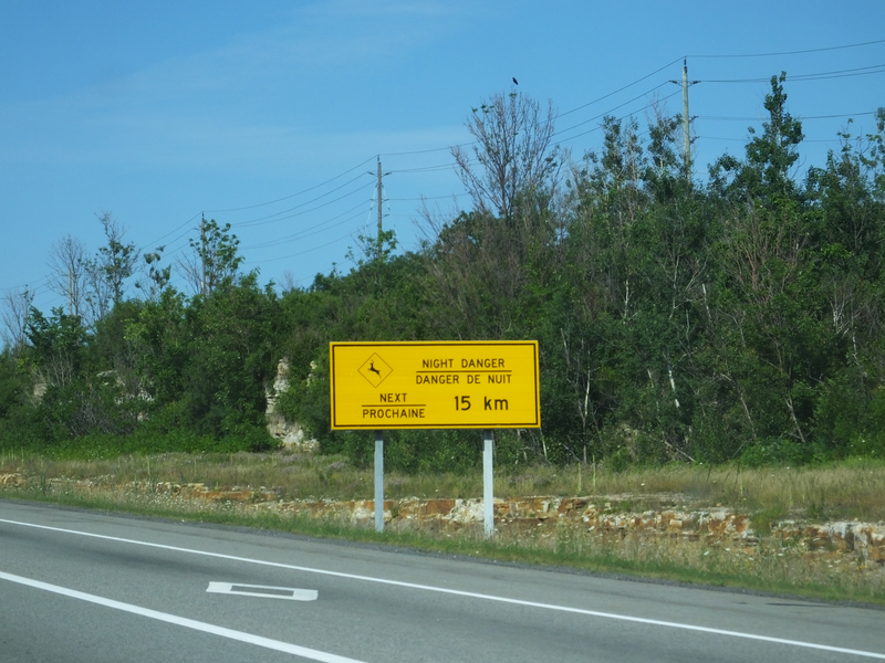
This looks dangerous. [Crop/Zoom: 1003x1006]
![[Crop/Zoom: 1003x1006]](DSCF0005-close.jpg)
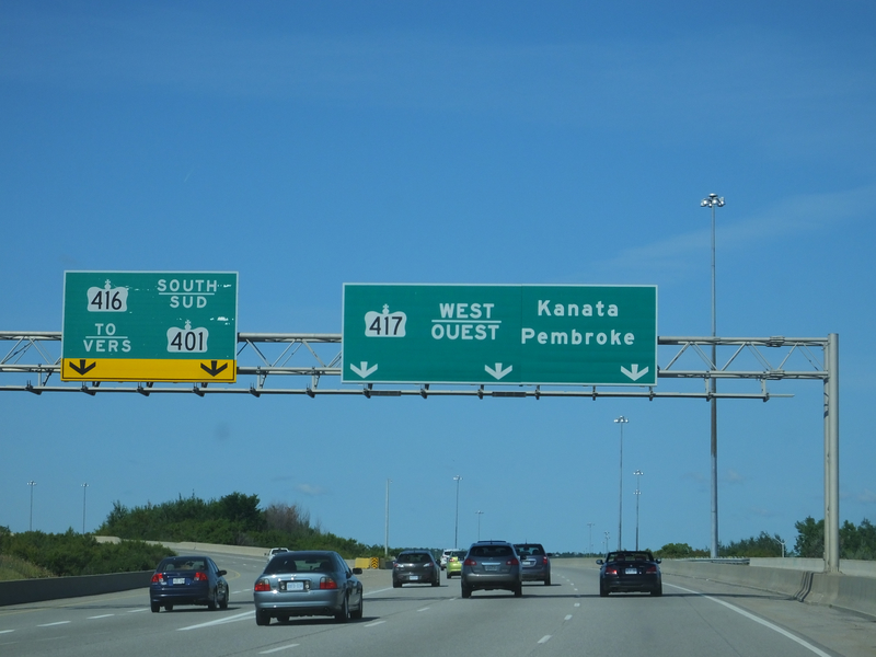
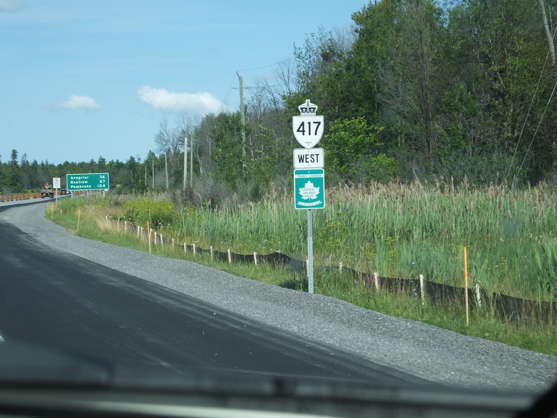
On to 417 for a bit. [Crop/Zoom: 3337x814]
![[Crop/Zoom: 3337x814]](DSCF0006-close.jpg)
[Crop/Zoom: 1268x638]
![[Crop/Zoom: 1268x638]](DSCF0007-close.jpg)
[Crop/Zoom: 2269x856]
![[Crop/Zoom: 2269x856]](DSCF0009-close.jpg)
[Crop/Zoom: 559x1151]
![[Crop/Zoom: 559x1151]](DSCF0010-close.jpg)
[Crop/Zoom: 1201x874]
![[Crop/Zoom: 1201x874]](DSCF0011-close.jpg)
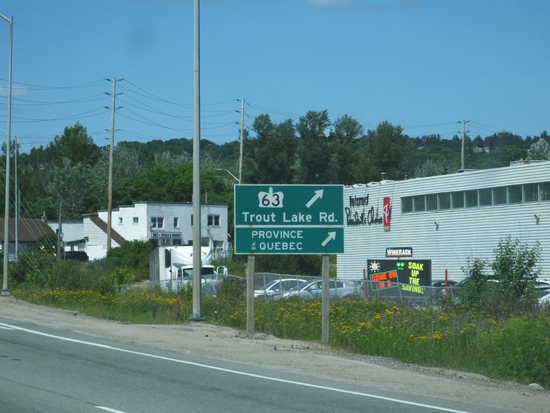
Back onto the westernmost piece of ON 417 from Arnprior. [Crop/Zoom: 463x343]
![[Crop/Zoom: 463x343]](DSCF0012-close.jpg)
[Crop/Zoom: 1350x1564]
![[Crop/Zoom: 1350x1564]](DSCF0013-close.jpg)
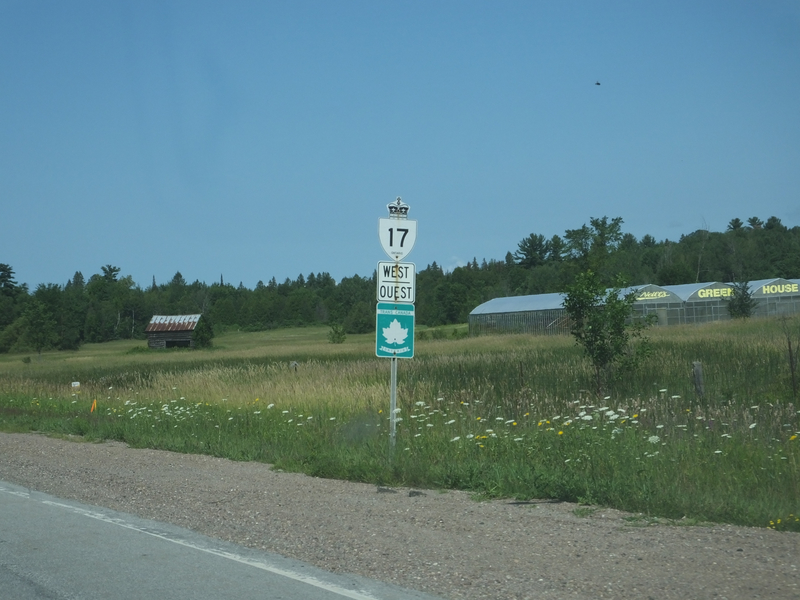
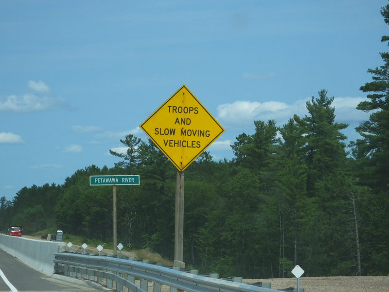
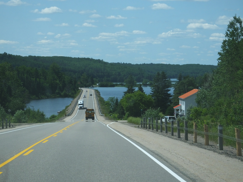
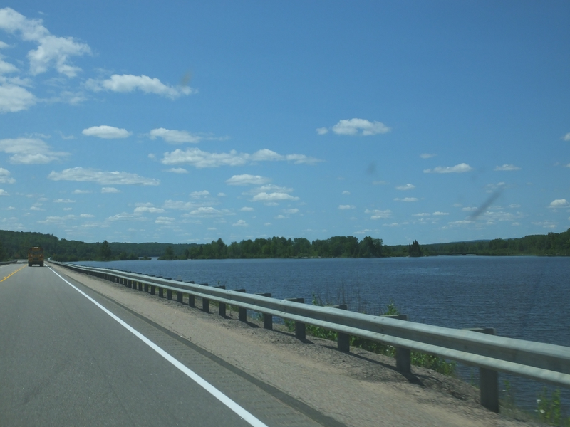
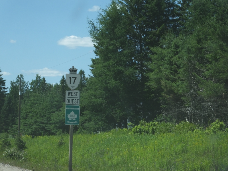
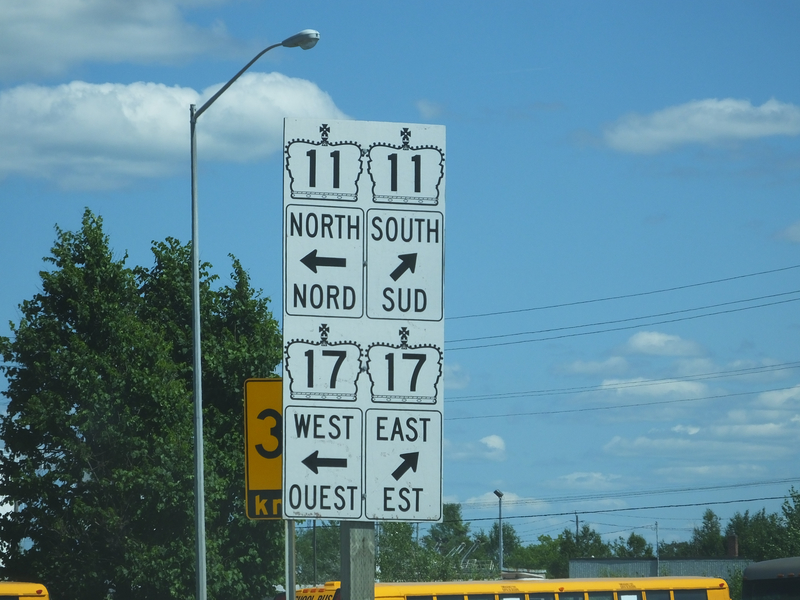
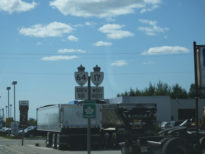
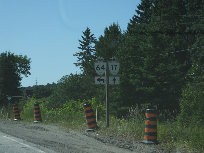
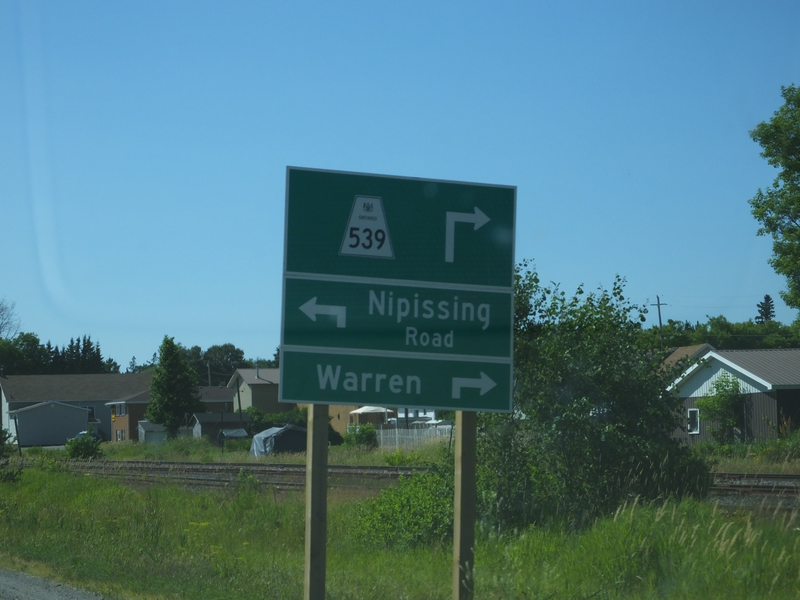
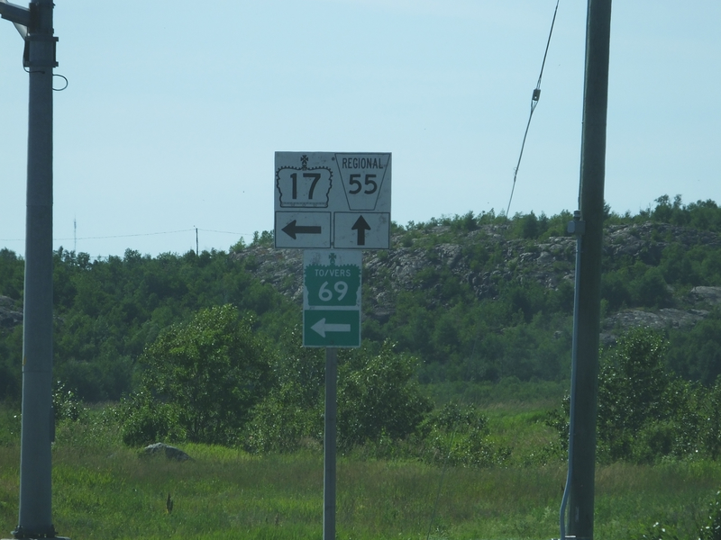
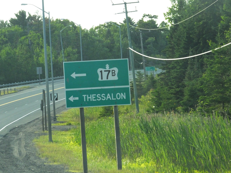
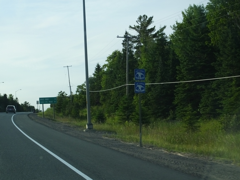
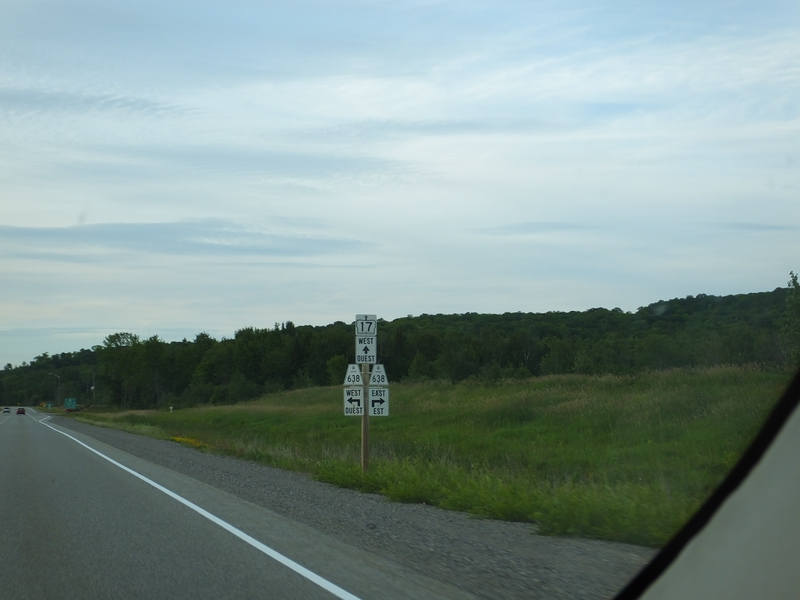
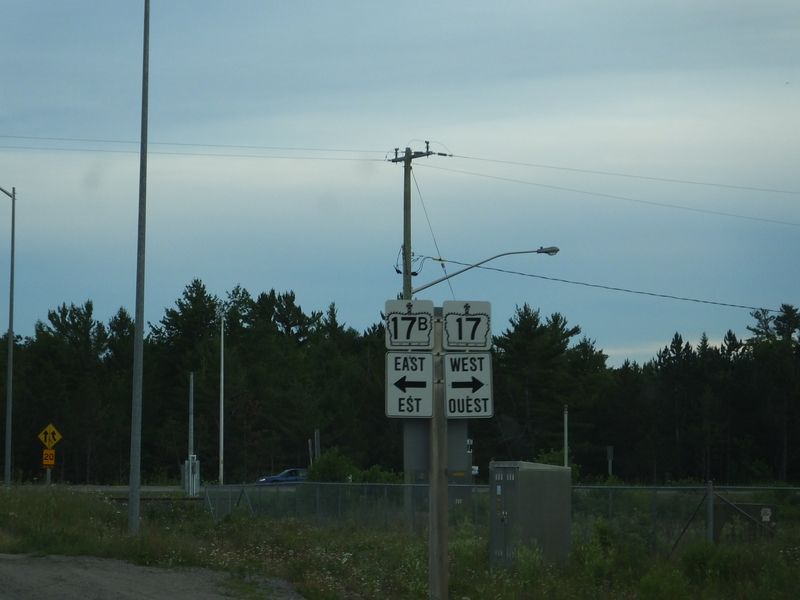
And now we're on 17 for about the next 880 miles... [Crop/Zoom: 477x1093]
![[Crop/Zoom: 477x1093]](DSCF0014-close.jpg)
[Crop/Zoom: 1024x644]
![[Crop/Zoom: 1024x644]](DSCF0015-close.jpg)
[Crop/Zoom: 1435x846]
![[Crop/Zoom: 1435x846]](DSCF0016-close.jpg)
[Crop/Zoom: 1005x1035]
![[Crop/Zoom: 1005x1035]](DSCF0017-close.jpg)
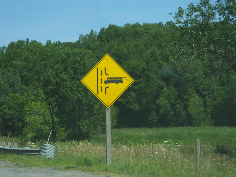
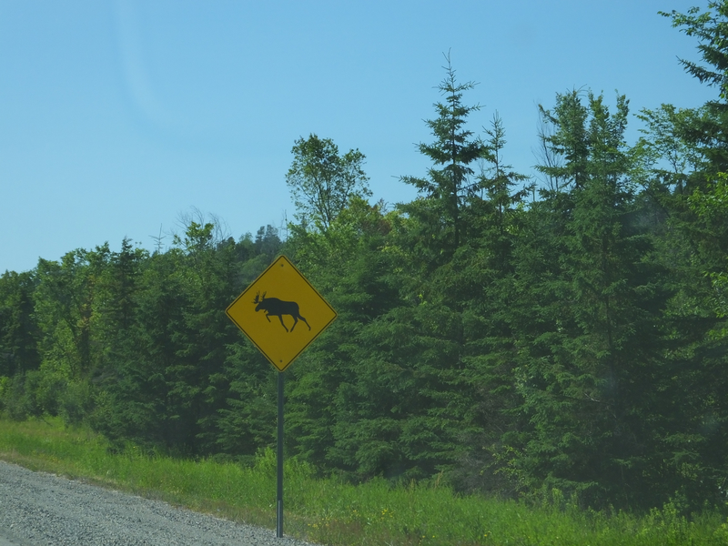
This also looks like dangerous bus driving. [Crop/Zoom: 1259x1274]
![[Crop/Zoom: 1259x1274]](DSCF0018-close.jpg)
[Crop/Zoom: 1782x1536]
![[Crop/Zoom: 1782x1536]](DSCF0019-close.jpg)
[Larger: 2304x1728]
![[Larger: 2304x1728]](DSCF0020-2304.jpg)
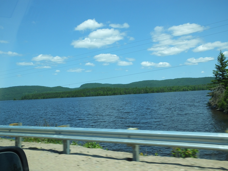
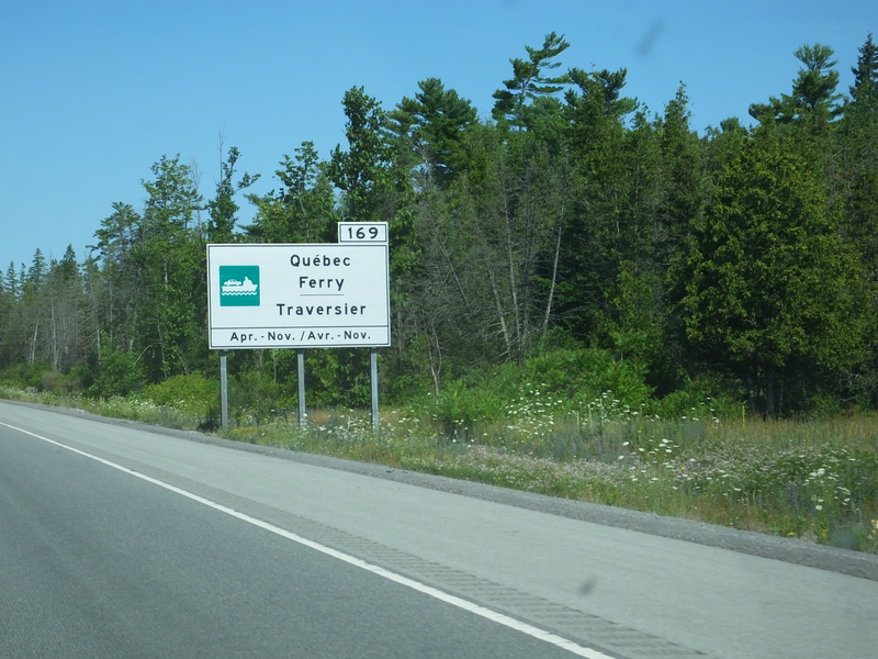
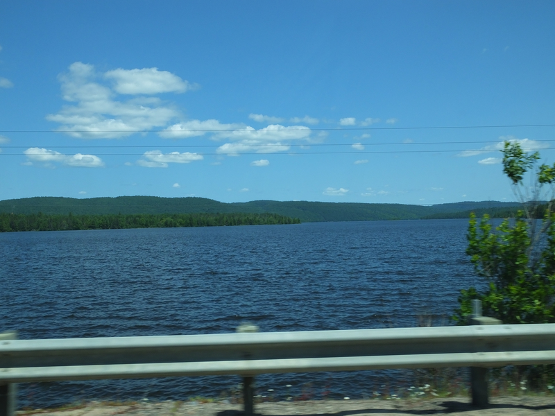
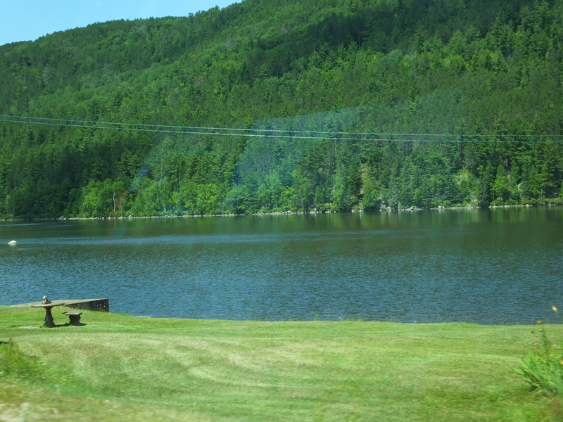
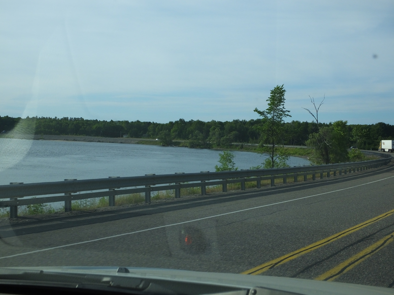
One of the rare stretches where ON 17 gets close to water in this part of Ontario, somewhere between Renfrew and Petawawa, I think. [Larger: 2304x1728]
![[Larger: 2304x1728]](DSCF0021-2304.jpg)
[Larger: 2304x1728]
![[Larger: 2304x1728]](DSCF0022-2304.jpg)
[Larger: 2304x1728]
![[Larger: 2304x1728]](DSCF0023-2304.jpg)
[Larger: 2304x1728]
![[Larger: 2304x1728]](DSCF0024-2304.jpg)
A large number on a kilometre marker. [Crop/Zoom: 293x540]
![[Crop/Zoom: 293x540]](DSCF0025-close.jpg)
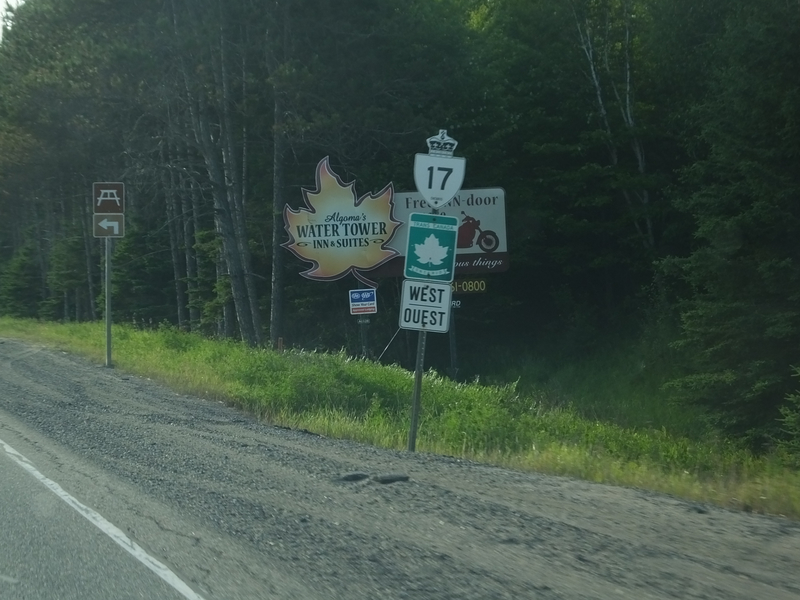
The Trans-Canada Highway signs are sometimes in English, sometimes in French in Ontario. [Crop/Zoom: 566x1459]
![[Crop/Zoom: 566x1459]](DSCF0026-close.jpg)
[Larger: 2304x1728]
![[Larger: 2304x1728]](DSCF0028-2304.jpg)
[Larger: 2304x1728]
![[Larger: 2304x1728]](DSCF0029-2304.jpg)
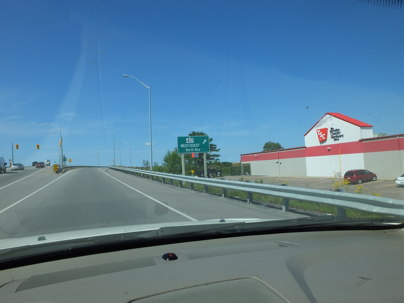
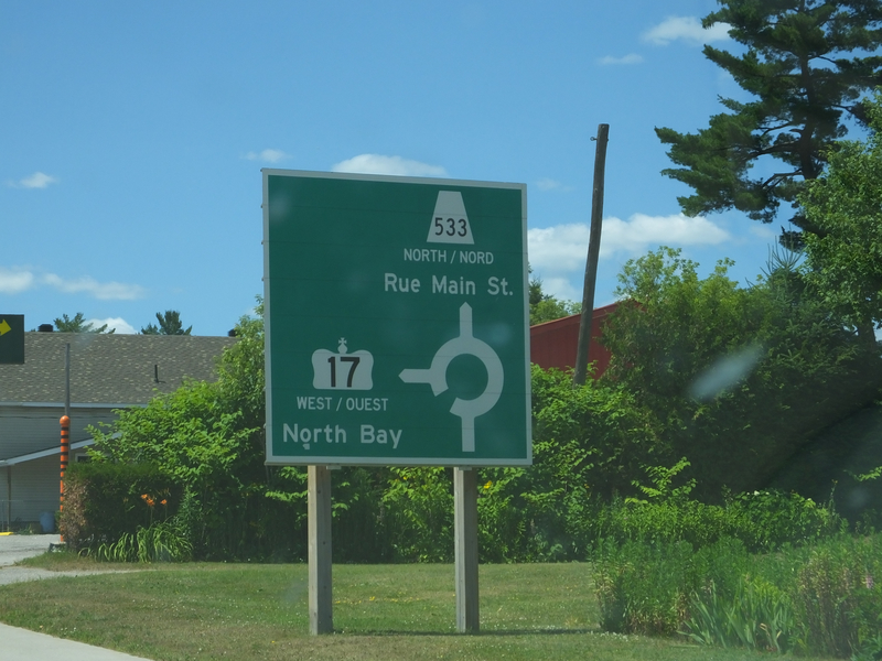
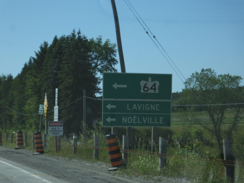
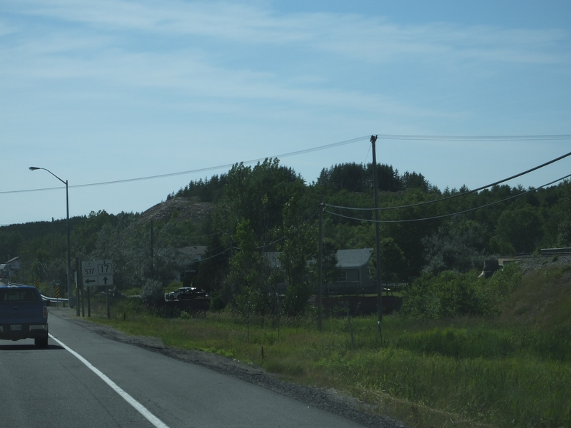
Coming up on North Bay. [Crop/Zoom: 2908x784]
![[Crop/Zoom: 2908x784]](DSCF0032-close.jpg)
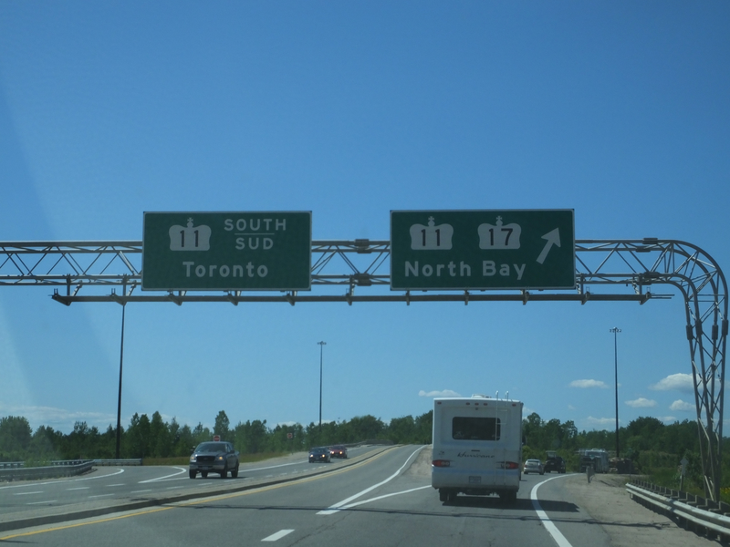
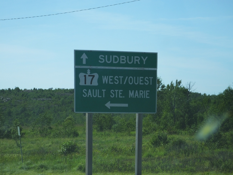
North Bay. [Larger: 2304x1728]
![[Larger: 2304x1728]](DSCF0033-2304.jpg)
[Crop/Zoom: 1089x770]
![[Crop/Zoom: 1089x770]](DSCF0034-close.jpg)
[Crop/Zoom: 1115x2537]
![[Crop/Zoom: 1115x2537]](DSCF0036-close.jpg)
[Crop/Zoom: 722x1098]
![[Crop/Zoom: 722x1098]](DSCF0039-close.jpg)
[Crop/Zoom: 869x1386]
![[Crop/Zoom: 869x1386]](DSCF0040-close.jpg)
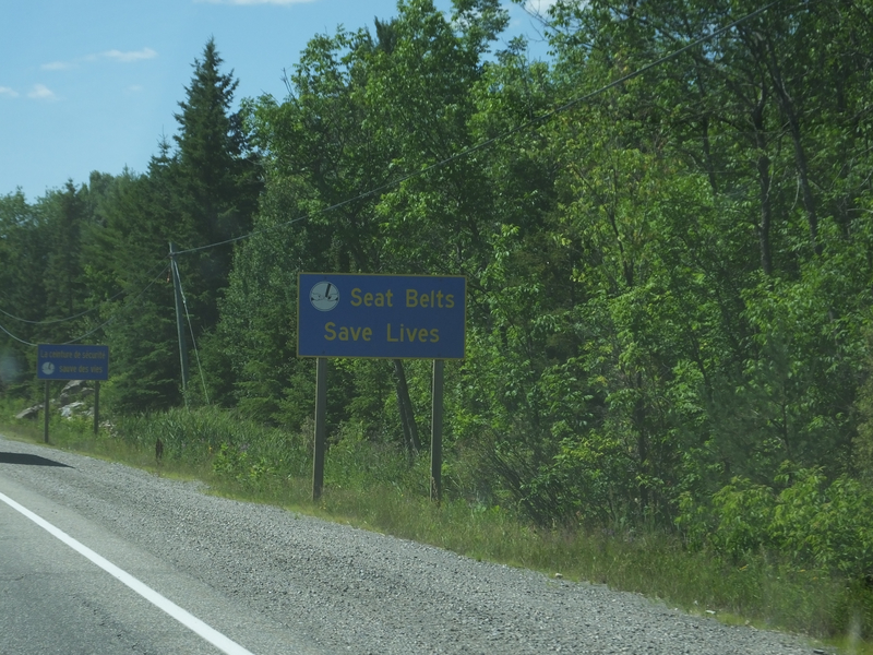
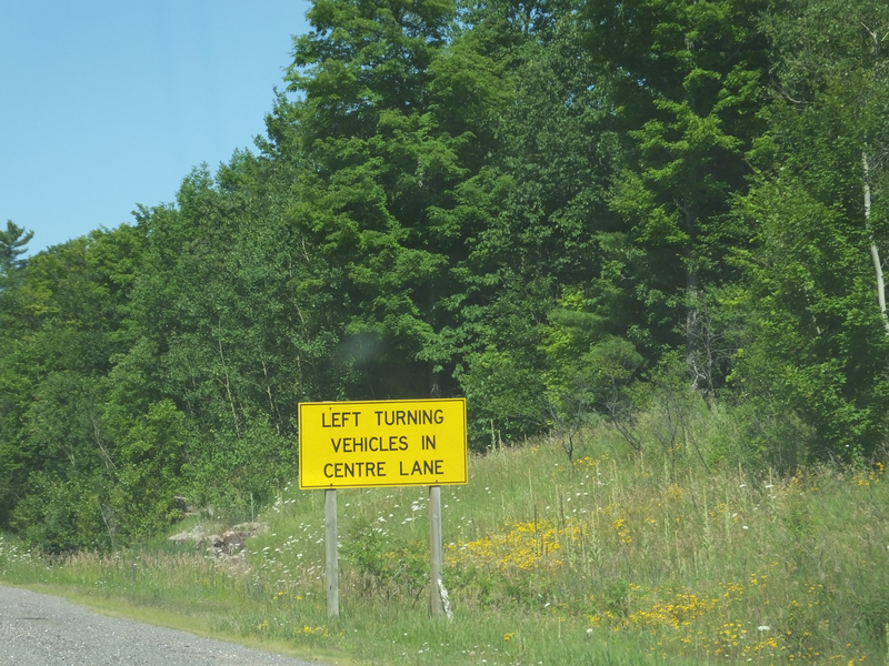
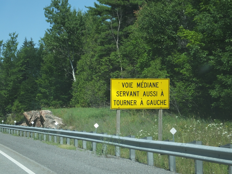
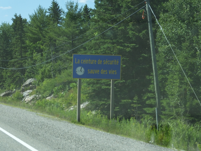
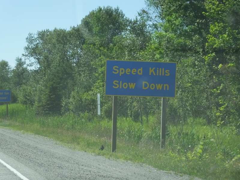
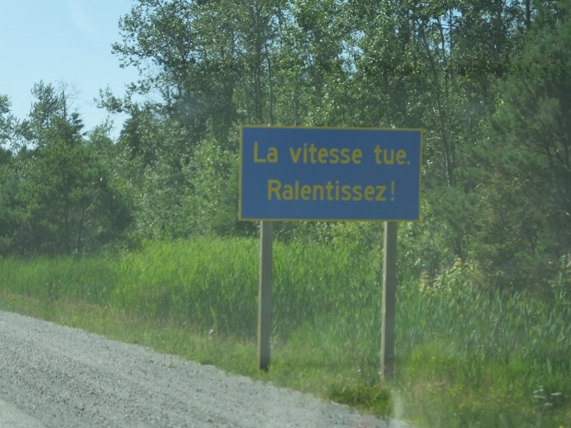
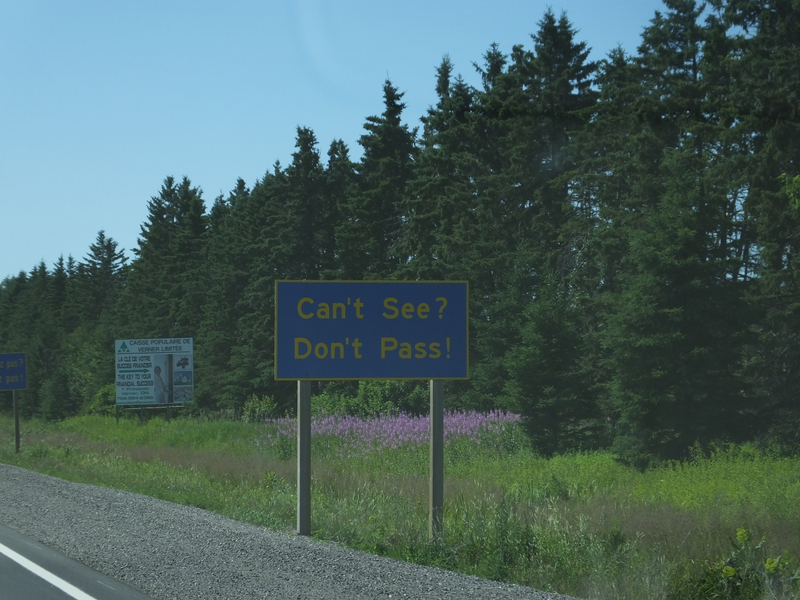
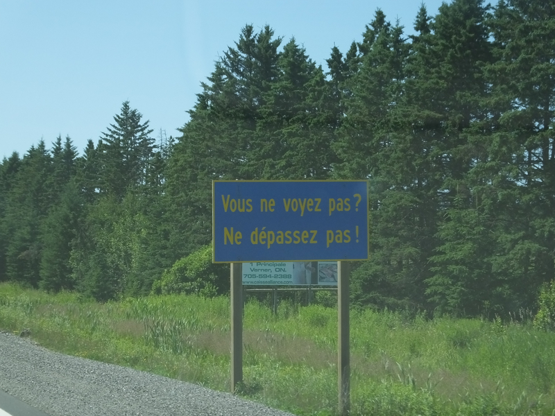
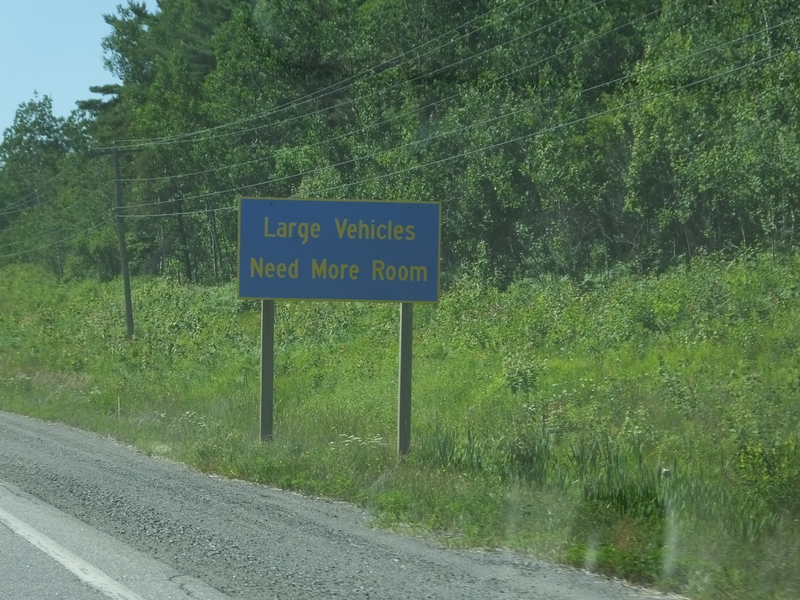
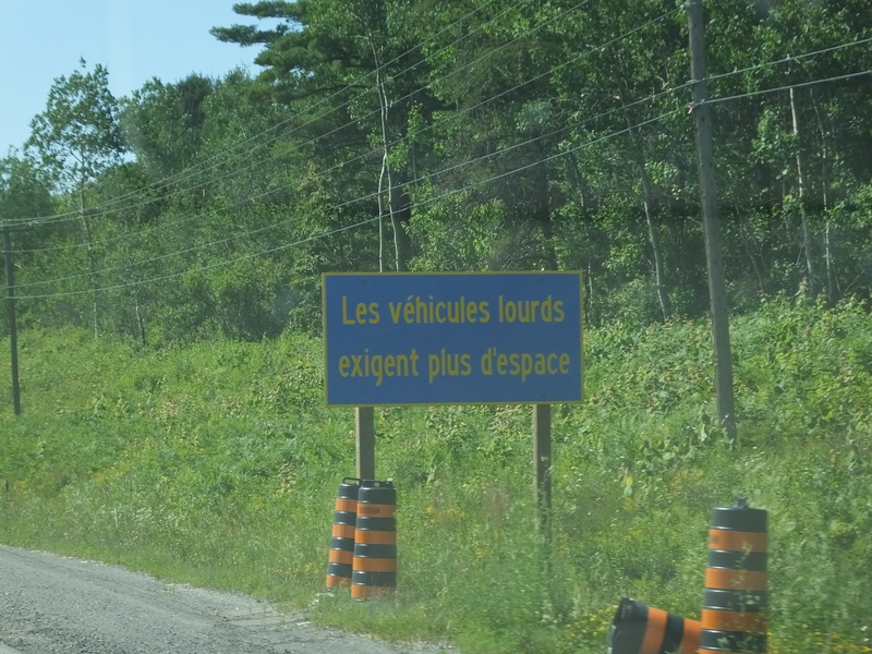
There were lots of these English/French pairs of signs with various safety messages. [Crop/Zoom: 997x586]
![[Crop/Zoom: 997x586]](DSCF0041-close.jpg)
[Crop/Zoom: 1268x795]
![[Crop/Zoom: 1268x795]](DSCF0042-close.jpg)
[Crop/Zoom: 1063x612]
![[Crop/Zoom: 1063x612]](DSCF0043-close.jpg)
[Crop/Zoom: 1184x689]
![[Crop/Zoom: 1184x689]](DSCF0044-close.jpg)
[Crop/Zoom: 1292x720]
![[Crop/Zoom: 1292x720]](DSCF0045-close.jpg)
[Crop/Zoom: 1038x633]
![[Crop/Zoom: 1038x633]](DSCF0046-close.jpg)
[Crop/Zoom: 816x874]
![[Crop/Zoom: 816x874]](DSCF0047-close.jpg)
[Crop/Zoom: 1640x1205]
![[Crop/Zoom: 1640x1205]](DSCF0048-close.jpg)
[Crop/Zoom: 975x597]
![[Crop/Zoom: 975x597]](DSCF0049-close.jpg)
[Crop/Zoom: 1096x620]
![[Crop/Zoom: 1096x620]](DSCF0050-close.jpg)
[Crop/Zoom: 728x759]
![[Crop/Zoom: 728x759]](DSCF0051-close.jpg)
[Crop/Zoom: 1595x1586]
![[Crop/Zoom: 1595x1586]](DSCF0052-close.jpg)
[Crop/Zoom: 867x882]
![[Crop/Zoom: 867x882]](DSCF0053-close.jpg)
[Crop/Zoom: 410x376]
![[Crop/Zoom: 410x376]](DSCF0054-close.jpg)
[Crop/Zoom: 1908x1475]
![[Crop/Zoom: 1908x1475]](DSCF0056-close.jpg)
[Crop/Zoom: 987x1444]
![[Crop/Zoom: 987x1444]](DSCF0057-close.jpg)
[Larger: 2304x1728]
![[Larger: 2304x1728]](DSCF0059-2304.jpg)
[Crop/Zoom: 466x944]
![[Crop/Zoom: 466x944]](DSCF0060-close.jpg)
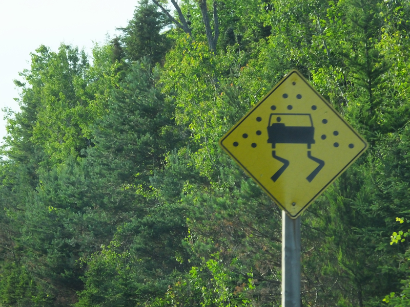
Canada's version of the slippery when wet sign has what looks like giant, black hailstones. [Crop/Zoom: 1837x1783]
![[Crop/Zoom: 1837x1783]](DSCF0061-close.jpg)
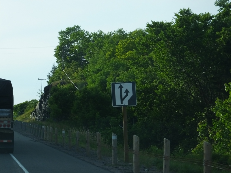
The Highway 17 traveler's friend: the start of a passing lane. [Crop/Zoom: 503x516]
![[Crop/Zoom: 503x516]](DSCF0062-close.jpg)
[Larger: 1632x1224]
![[Larger: 1632x1224]](DSCF0063-1632.jpg)
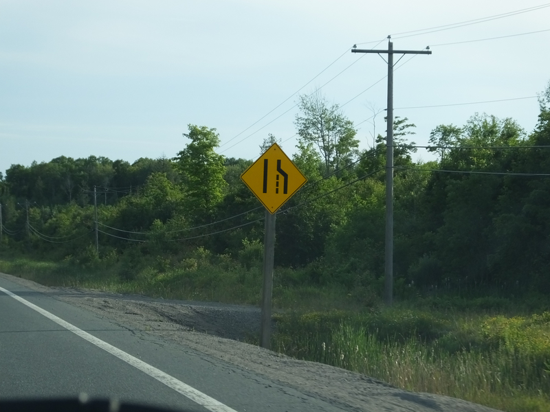
Not the Highway 17 traveler's friend: the end of a passing lane. [Crop/Zoom: 450x511]
![[Crop/Zoom: 450x511]](DSCF0064-close.jpg)
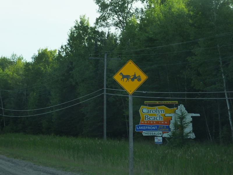
We saw at least one Amish buggy shortly after seeing this sign. [Crop/Zoom: 822x794]
![[Crop/Zoom: 822x794]](DSCF0065-close.jpg)
[Crop/Zoom: 1521x1200]
![[Crop/Zoom: 1521x1200]](DSCF0068-close.jpg)
[Crop/Zoom: 299x426]
![[Crop/Zoom: 299x426]](DSCF0069-close.jpg)
[Crop/Zoom: 355x677]
![[Crop/Zoom: 355x677]](DSCF0071-close.jpg)
[Crop/Zoom: 810x928]
![[Crop/Zoom: 810x928]](DSCF0073-close.jpg)
[Crop/Zoom: 1031x714]
![[Crop/Zoom: 1031x714]](DSCF0074-close.jpg)
[Crop/Zoom: 1406x668]
![[Crop/Zoom: 1406x668]](DSCF0077-close.jpg)
[Crop/Zoom: 2616x893]
![[Crop/Zoom: 2616x893]](DSCF0078-close.jpg)
[Crop/Zoom: 691x1392]
![[Crop/Zoom: 691x1392]](DSCF0079-close.jpg)