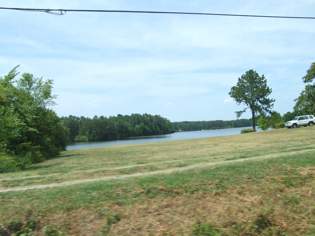
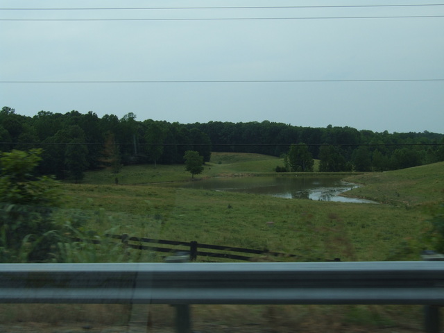
A lake a little west of the Richmond area. [Larger: 1744x1308]
[Crop/Zoom: 1587x1311]
[Larger: 1744x1308]
[Crop/Zoom: 264x387]
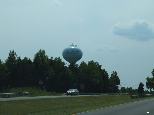
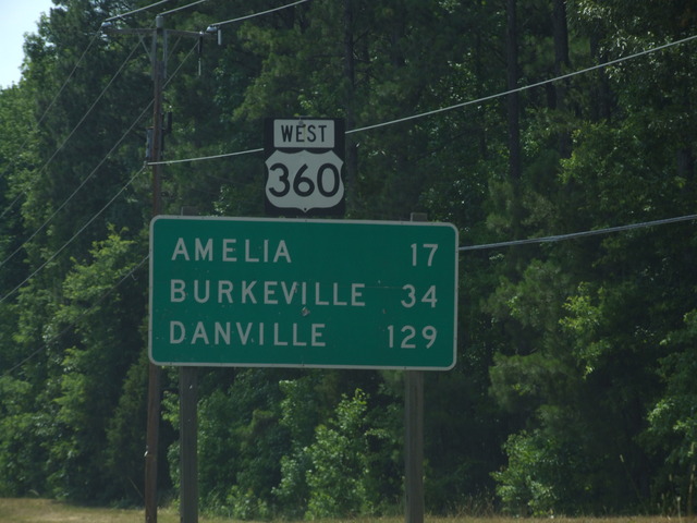
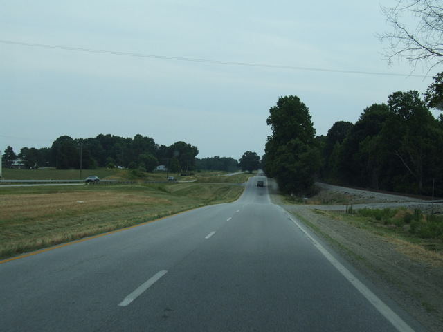
Amelia county - my first new county of 2008. [Larger: 1744x1308]
[Crop/Zoom: 768x976]
[Crop/Zoom: 234x406]
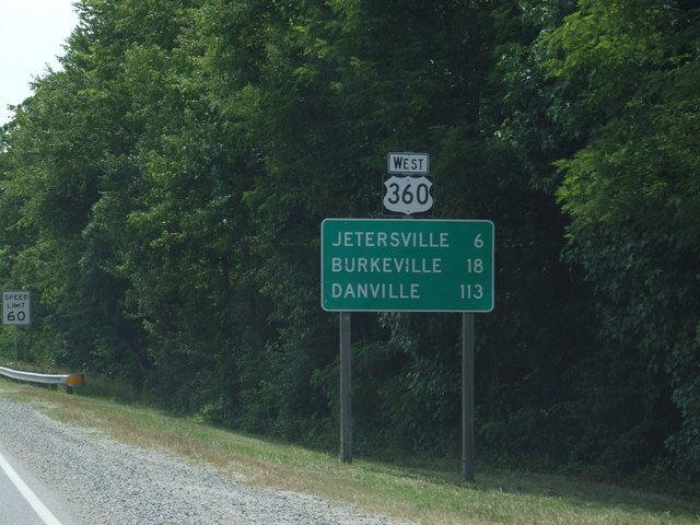
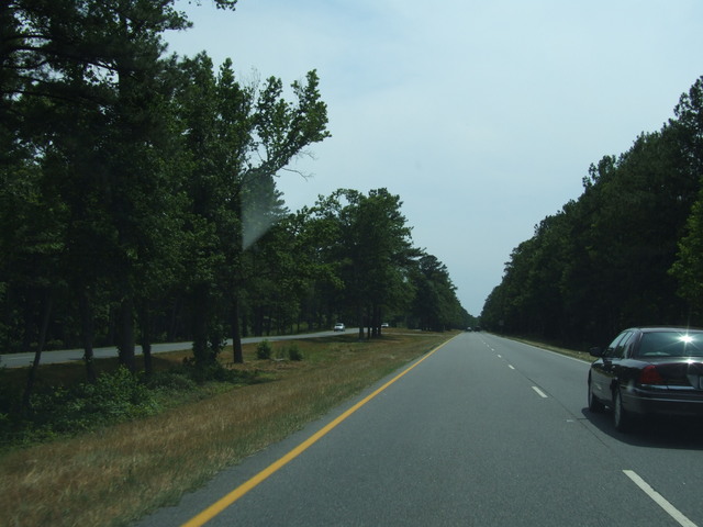
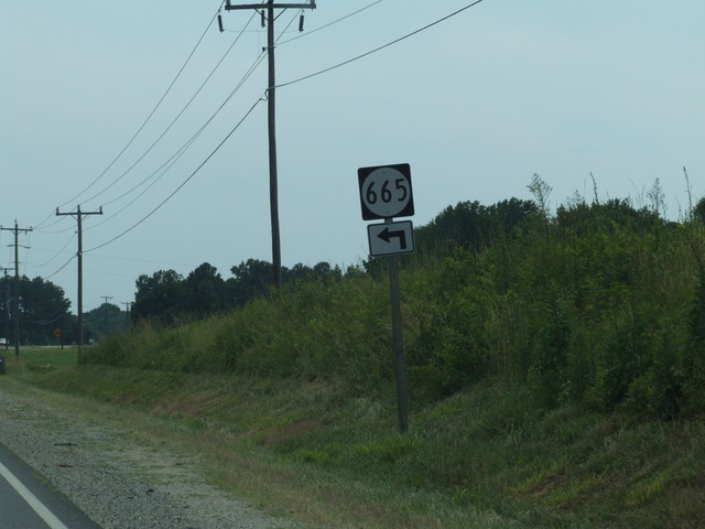
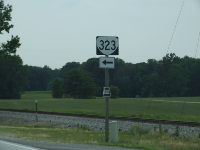
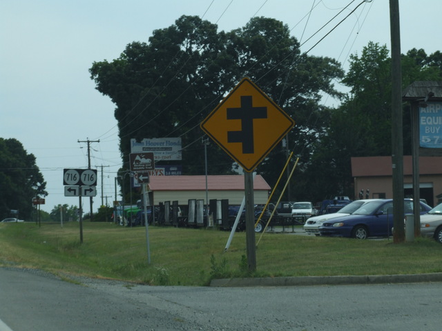
Only 6 miles to Jetersville. [Crop/Zoom: 892x833]
[Crop/Zoom: 352x514]
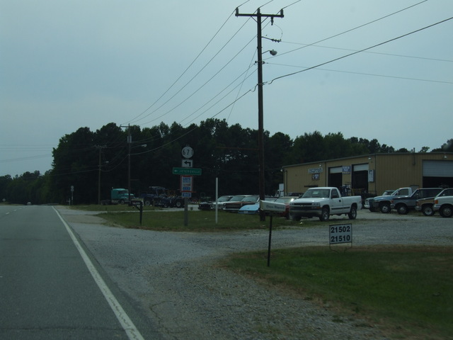
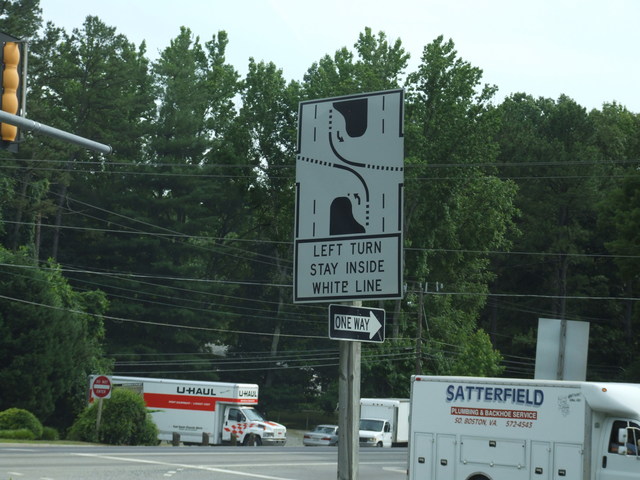
There's not much to Jetersville, at least from what we could see on US 360. [Crop/Zoom: 247x446]
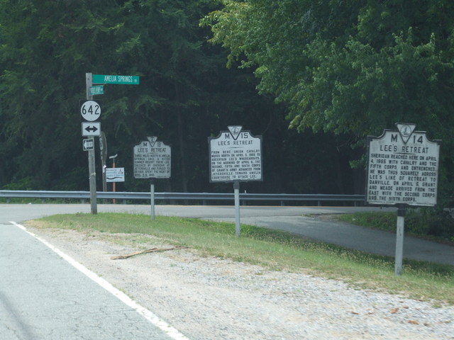
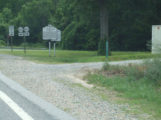
Plenty of Civil War history through here. [Crop/Zoom: 2802x1061]
[Crop/Zoom: 810x856]
[Larger: 1744x1308]
[Larger: 1744x1308]
[Crop/Zoom: 456x628]
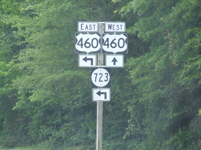
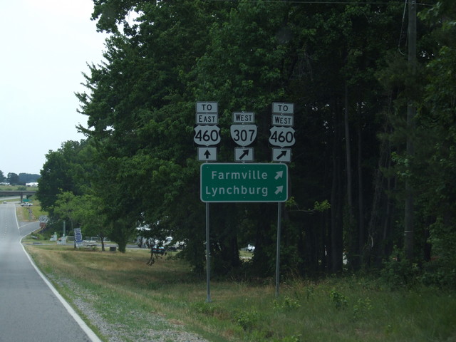
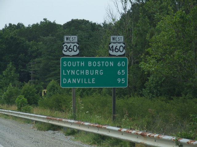
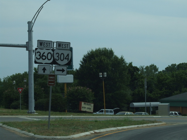
We join US 460 for a bit. [Crop/Zoom: 954x1425]
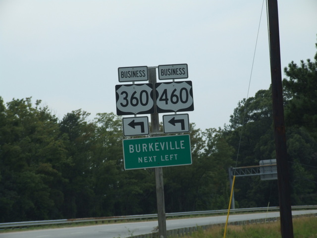
And we bypass Burkeville. [Crop/Zoom: 950x1217]
[Crop/Zoom: 1227x966]
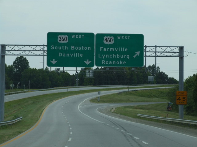
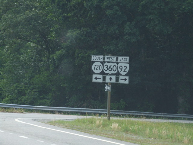
US 360 and US 460 split after just a bit. [Crop/Zoom: 1757x667]
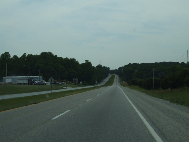
We stay on US 360. [Larger: 1744x1308]
[Larger: 1744x1308]
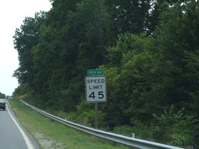
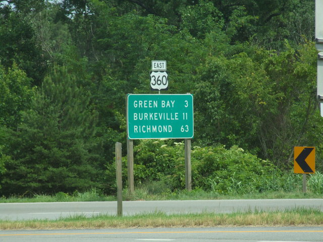
We went through Green Bay. [Crop/Zoom: 429x625]
[Crop/Zoom: 1172x471]
[Larger: 1744x1308]
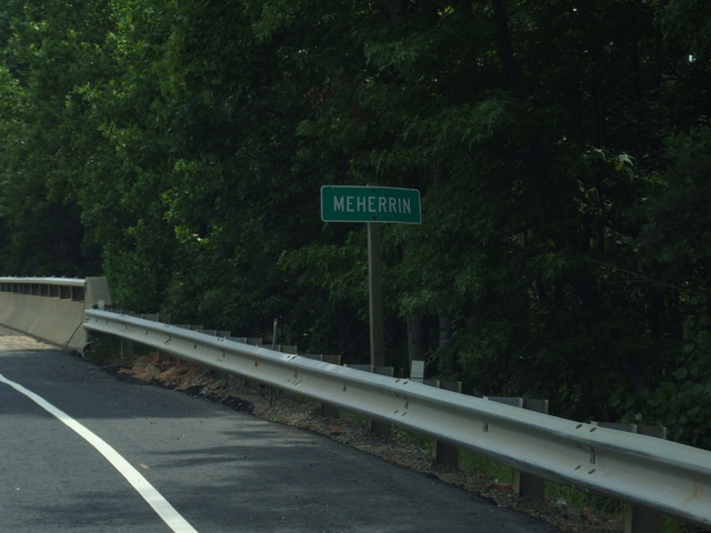
And Meherrin, where we made a very quick stop to switch drivers. [Crop/Zoom: 540x244]
Looking back at an eastbound sign. [Crop/Zoom: 732x882]
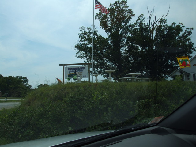
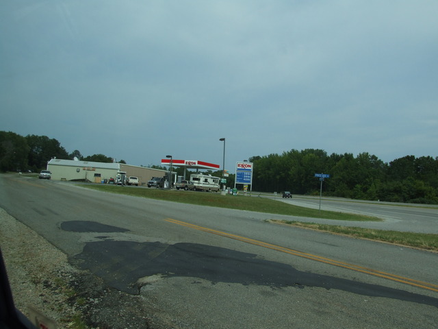
The driver switch stop. [Larger: 1744x1308]
[Larger: 1744x1308]
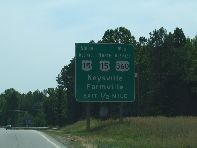
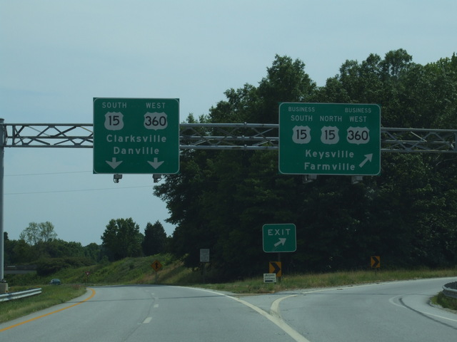
Back to US 15 near Keysville. [Crop/Zoom: 1087x1087]
[Crop/Zoom: 2235x645]
[Crop/Zoom: 566x417]
[Crop/Zoom: 1324x667]
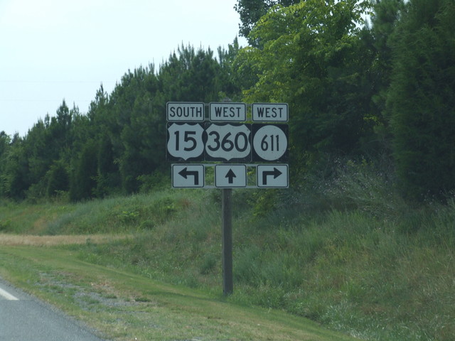
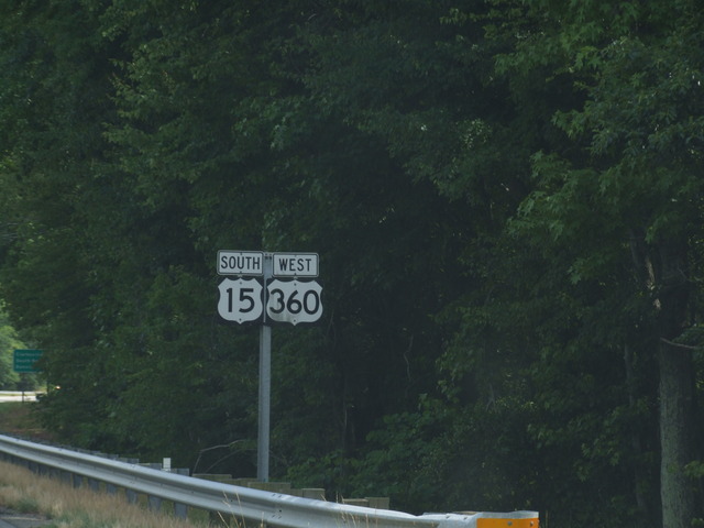
US 15 cuts off to the south -- we'll see it again later. [Crop/Zoom: 979x709]
[Crop/Zoom: 726x560]
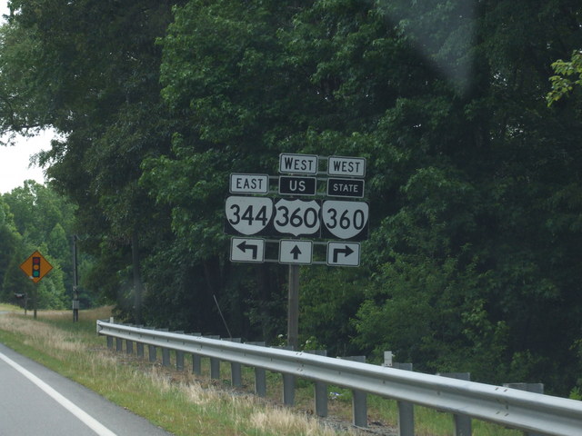
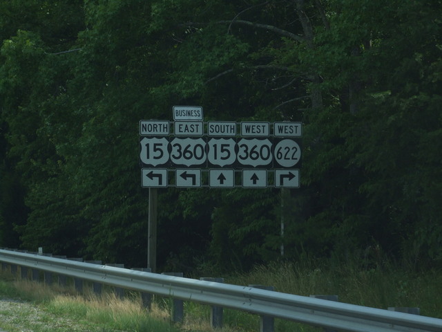
This might cause some confusion. The junction of US 360 and Virginia 360. [Crop/Zoom: 908x735]
[Crop/Zoom: 794x774]
Coming into South Boston. [Crop/Zoom: 625x1194]
[Crop/Zoom: 746x690]
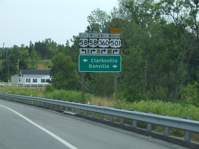
US 360 joins US 58 here. [Crop/Zoom: 791x810]
And into South Boston. [Larger: 1744x1308]