
In the Costa Mesa/Santa Ana area in the morning. [Crop/Zoom: 1969x483]
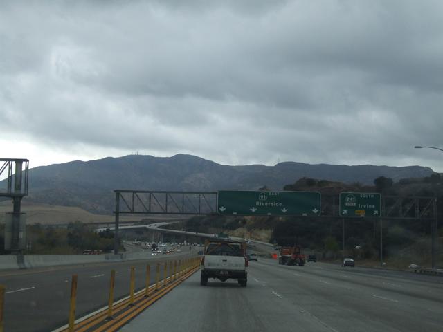
Now up on the 91, heading toward Riverside County. [Crop/Zoom: 1358x350]
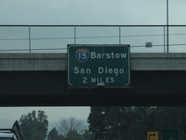
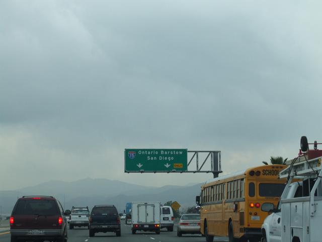
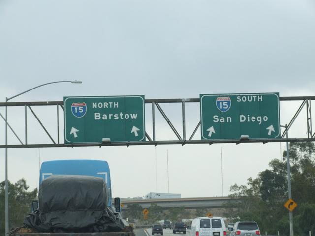
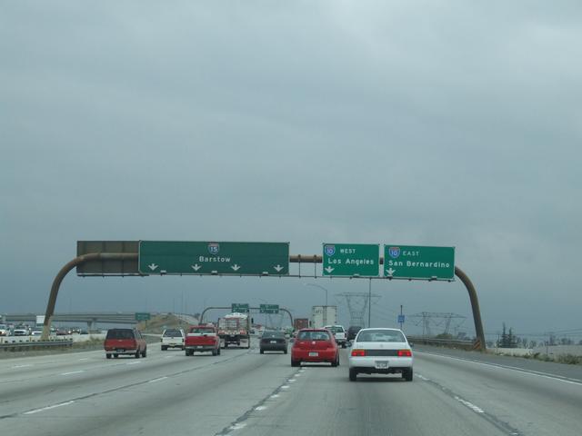
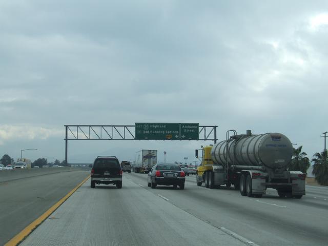
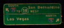
Coming up on I-15 from the 91. [Crop/Zoom: 1294x969]
[Crop/Zoom: 783x357]
[Crop/Zoom: 1790x800]
[Crop/Zoom: 2541x722]
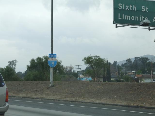
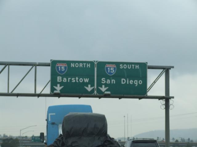
Now on the 15. [Crop/Zoom: 325x401]
[Crop/Zoom: 1176x311]
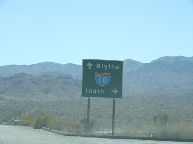
I-10 apparently follows a scenic route. [Crop/Zoom: 261x554]
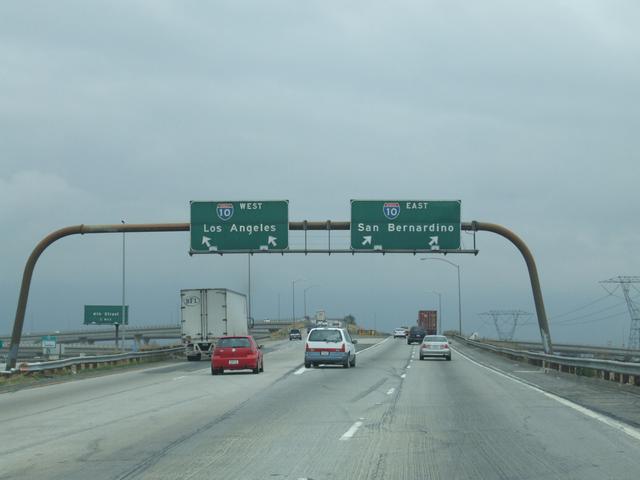
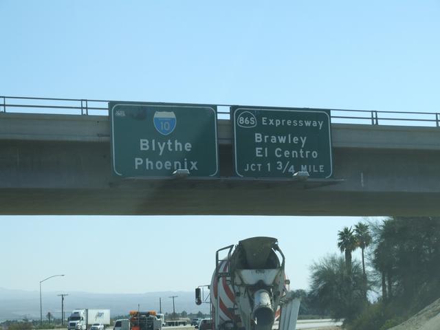
Getting onto I-10. [Crop/Zoom: 2083x358]
[Crop/Zoom: 1662x454]
[Crop/Zoom: 3481x679]
[Crop/Zoom: 725x250]
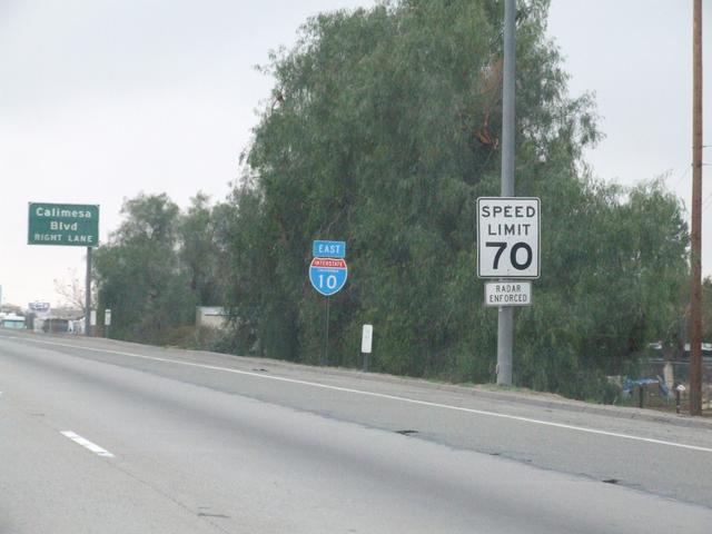
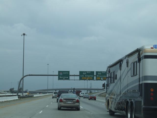
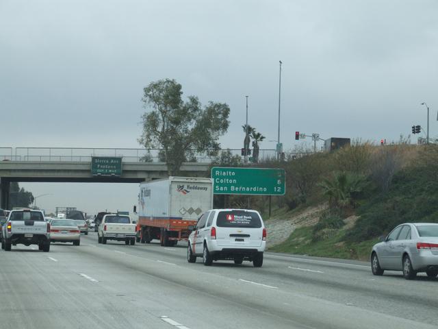
As we leave the most congested area, the speed limit rises to 70, but the flow of traffic was easily doing 85. [Crop/Zoom: 1247x979]
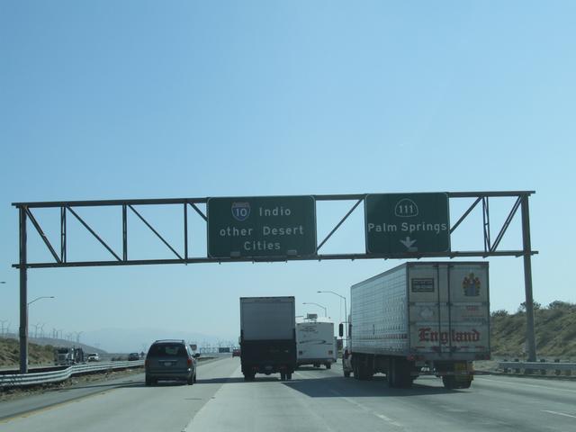
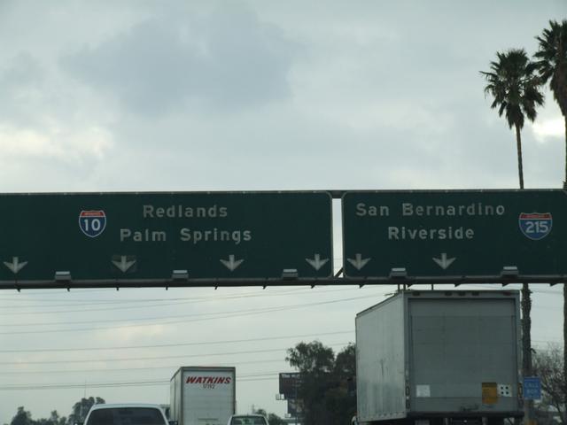
Approaching Palm Springs. [Crop/Zoom: 1601x497]
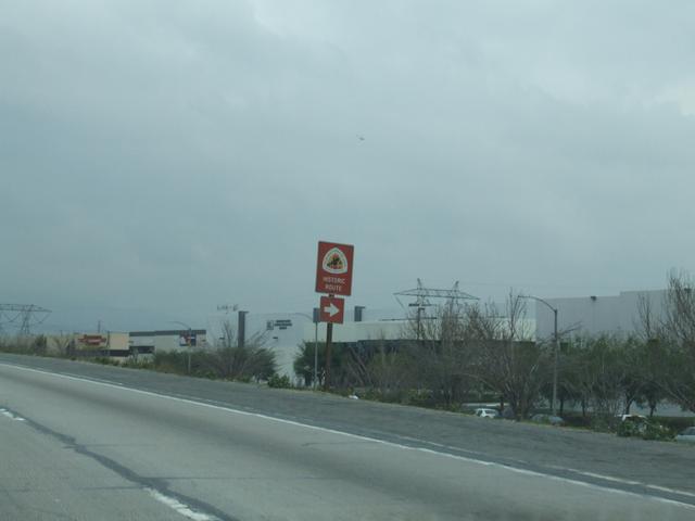
Historic US 99 is around here, but I was too slow to get a picture and in too much of a hurry to get off and check it out. [Crop/Zoom: 264x386]
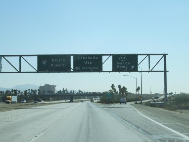
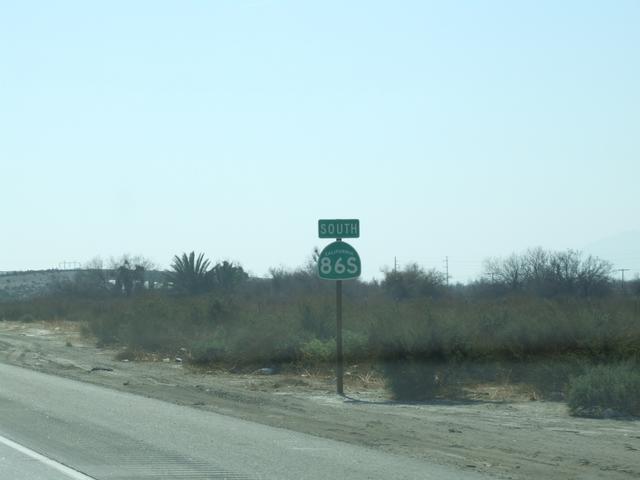
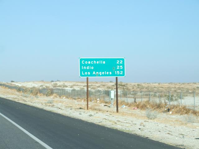
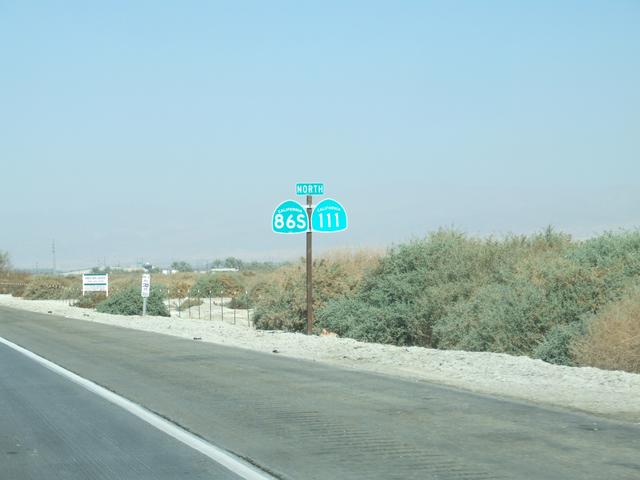
My exit to go down to see the Salton Sea is CA 86S. [Crop/Zoom: 1908x758]
[Crop/Zoom: 1944x450]
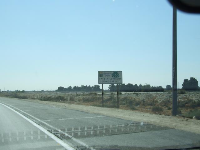
CA 86S is a safety corridor. [Crop/Zoom: 525x329]
[Crop/Zoom: 354x515]
Crossing with a cul-de-sac. [Crop/Zoom: 543x543]
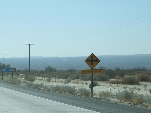
Back northbound after a quick look through Desert Shores. [Crop/Zoom: 875x490]
[Crop/Zoom: 565x1007]
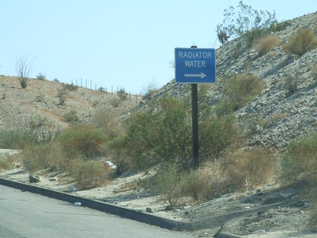
On the climb up from the Salton Sea area, there are many stops where you can get water for your car's radiator. Fortunately, this was a nice and cool day. I missed getting the picture of the sign that marks where the road climbs up to sea level.

At the Joshua Tree N.P. exit. [Crop/Zoom: 711x740]
Back at I-10. [Crop/Zoom: 947x904]
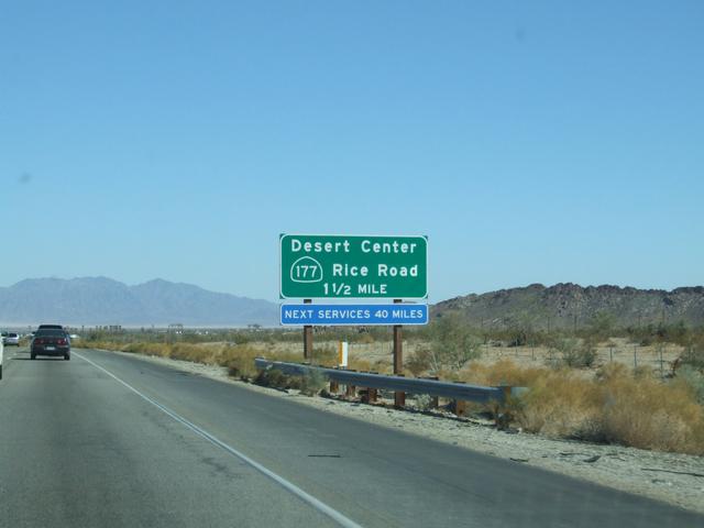
There's not much happening in Desert Center. [Crop/Zoom: 894x643]
This will be my exit after the hop across to the cheaper Arizona gas. [Crop/Zoom: 639x582]
Still California, but not for long. [Crop/Zoom: 343x414]
[Crop/Zoom: 421x812]
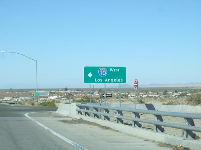
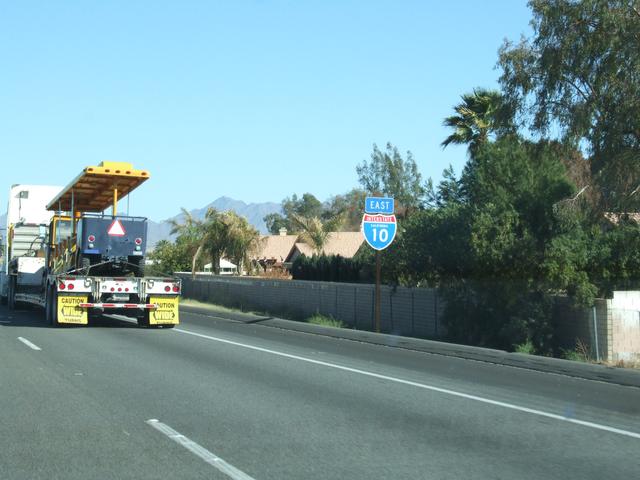
In Arizona, getting back onto I-10 to get back to California. [Crop/Zoom: 840x415]
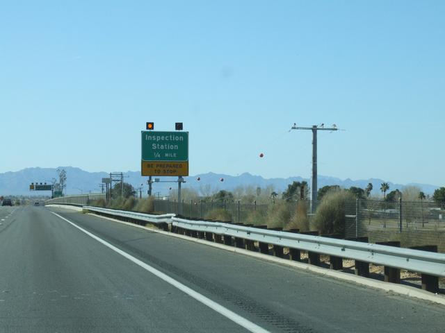
California wants to make sure no one brings anything in to damage their crops. [Crop/Zoom: 468x507]
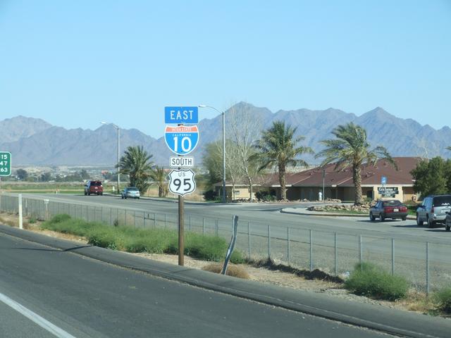
This time, I take this exit. [Crop/Zoom: 1126x1383]
[Crop/Zoom: 1858x1401]

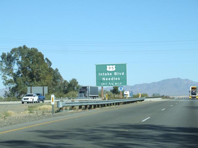
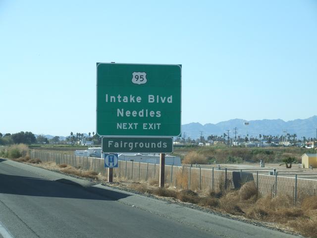
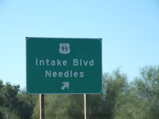
And I'll be on US 95 for a while. [Crop/Zoom: 1061x1047]
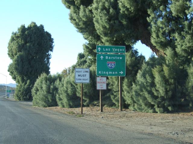
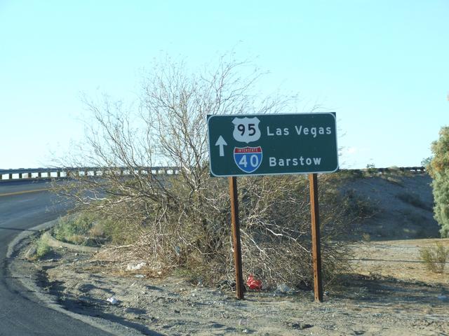
Getting onto I-40 west in Needles. [Crop/Zoom: 629x668]
[Crop/Zoom: 1219x697]
And some captures from short videos to get some things after dark:
![]()
The Daggett exit near I-40's western terminus.
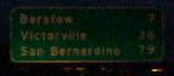
7 miles to Barstow on I-40.
Coming up on the I-15 junction at I-40's western terminus.

I think this is the last I-40 westbound shield. No signs indicating the end, unfortunately.
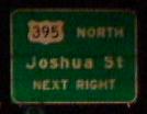
On I-15 South, passing the current southern terminus of US 395.
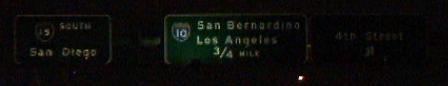
On I-15 South, approaching the I-10 junction.
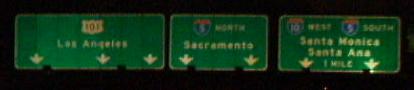
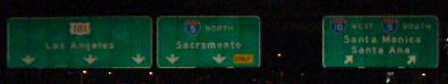
On I-10 West, approaching the junction of US 101 and I-5 in LA.
Closer to the interchange.
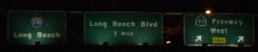
Now on the Long Beach Freeway, I-710, passing the 91.
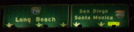
Coming up on the 405 on the 710.