Coming up on the partially-evacuted trailer park in Williamstown. Some residents were removed because of rising waters in the Hoosic River. [2048x1536]

Some parts of Rte 2 were undermined on the way up Florida Mountain from North Adams. [2048x1536]

The high waters of the Cold River in Charlemont. [2048x1536]
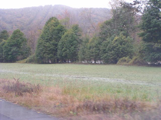
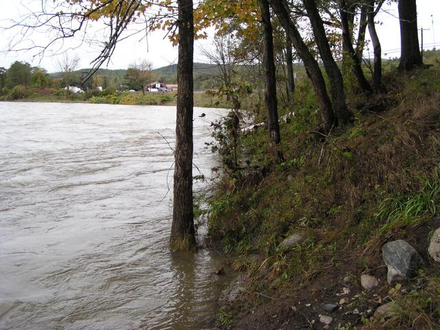
It was even higher before - the grass is matted down from flooding. This is just west of the village of Charlemont. [2048x1536]
[2048x1536]
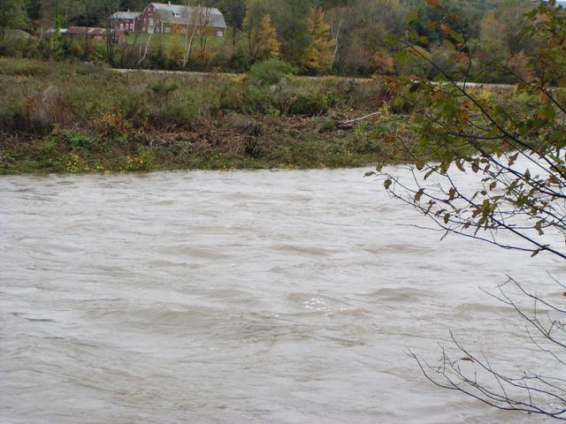
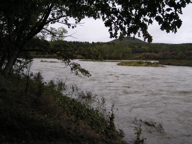
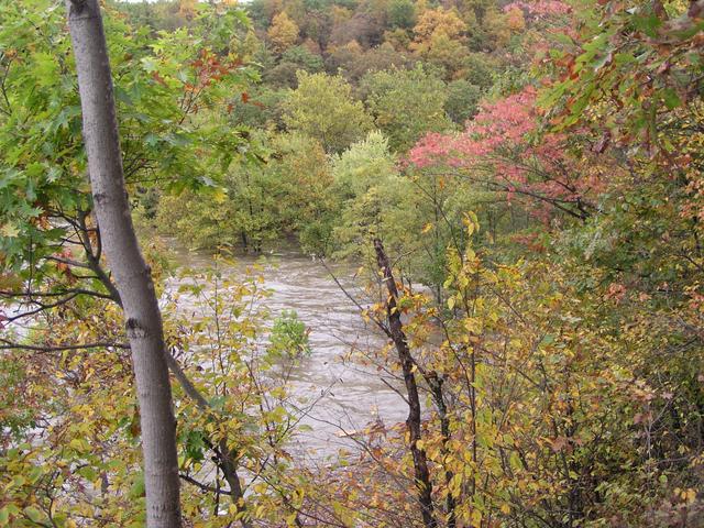
The Deerfield River between Charlemont and Shelburne. [2048x1536]

[2048x1536]

[2048x1536]
[2048x1536]
[2048x1536]
[2048x1536]
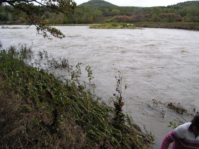
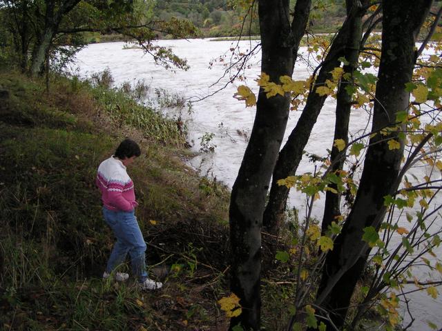
The river was quite a bit higher here too. [2048x1536]
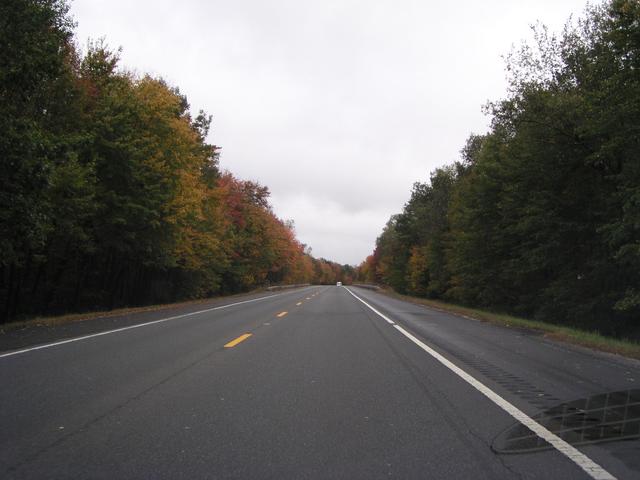
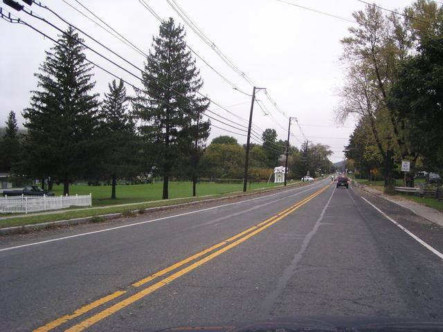
Continuing east on Rte 2 through some fall foliage. [2048x1536]
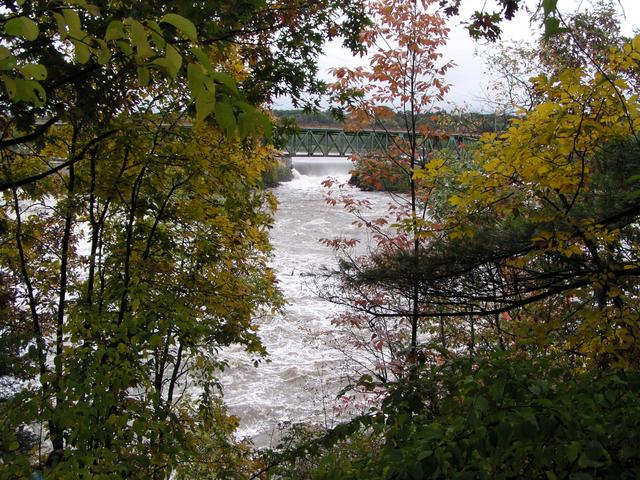
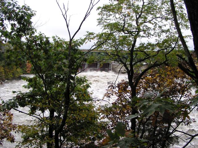
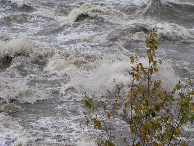
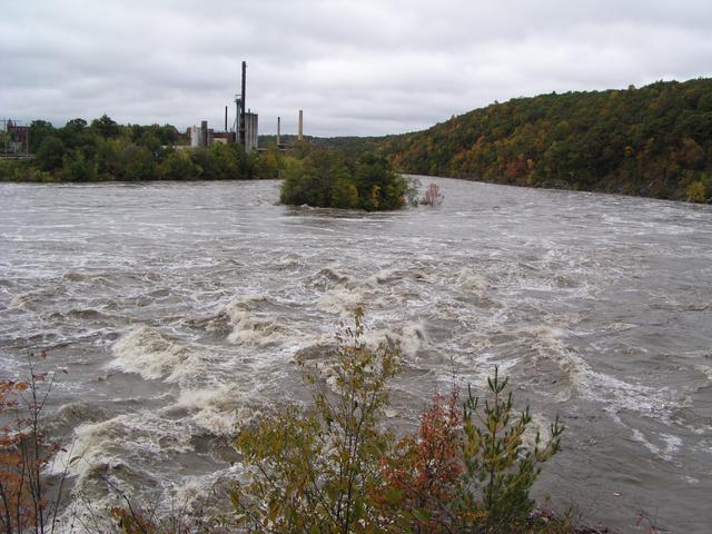
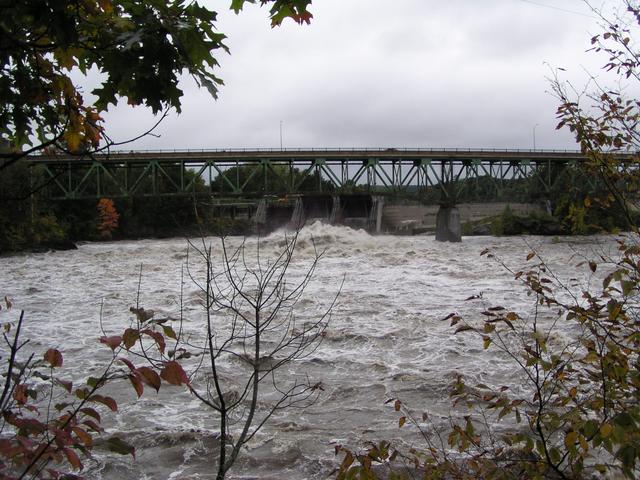
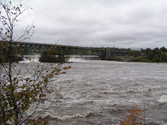
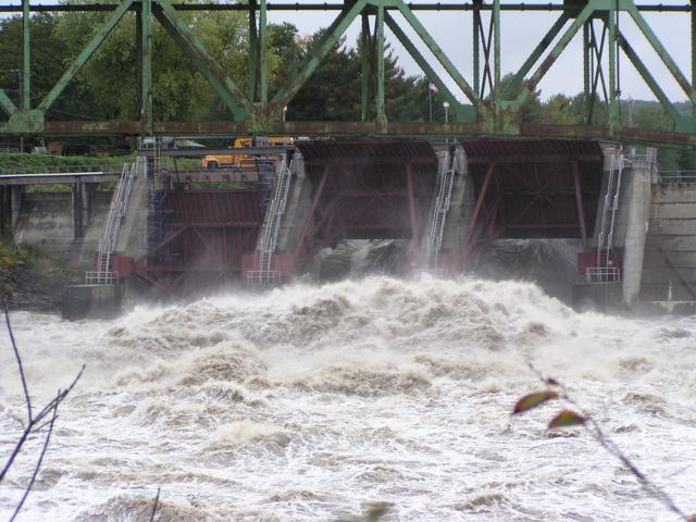
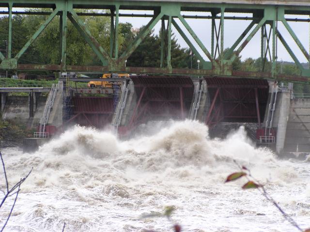
The very high waters at the dam at Turner's Falls was attracting a good crowd. [2048x1536]
[2048x1536]
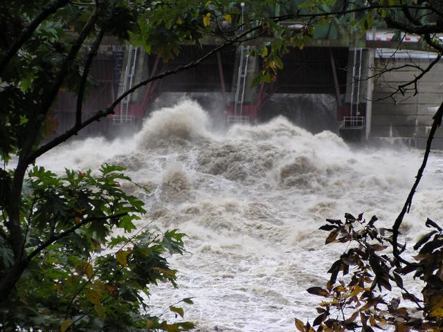
Lots of water rushing through the gates. [2048x1536]
[2048x1536]
[2048x1536]
[2048x1536]
[2048x1536]
[2048x1536]
[2048x1536]
[2048x1536]
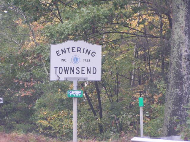
Now, the trip north from Leominster to New Hampshire. [2048x1536]
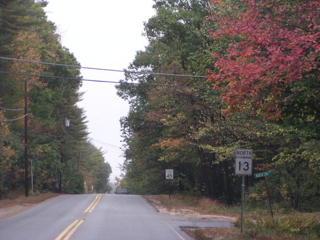
Along Route 13. [2048x1536]
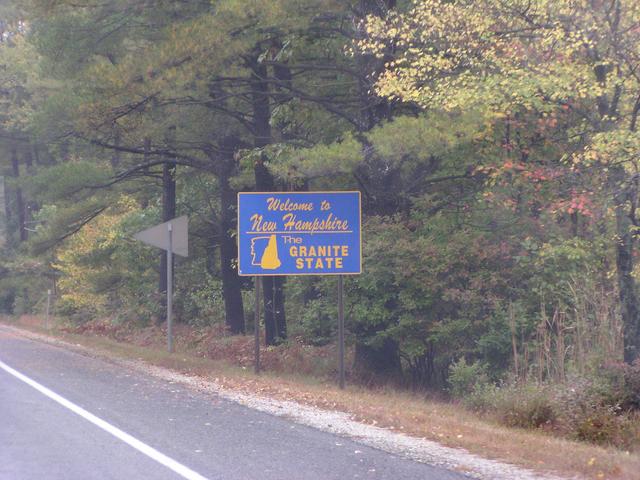
And into New Hampshire. [2048x1536]